Precision Radar Tide Gauge
CEETIDE MAX™
Tide Gauge
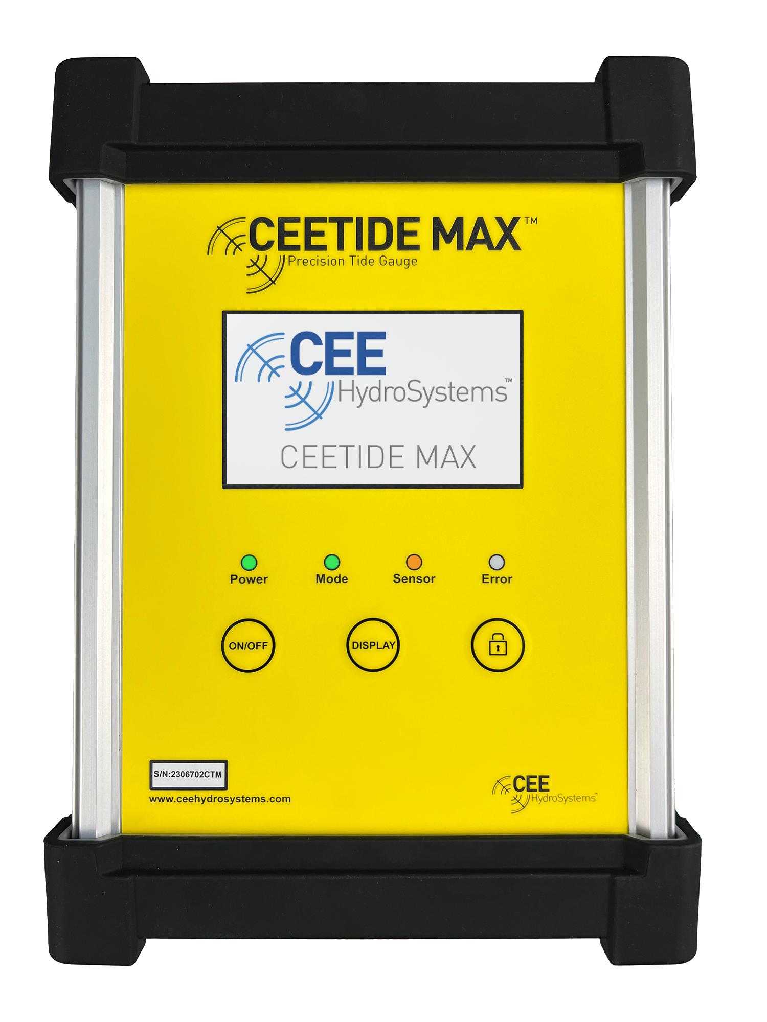
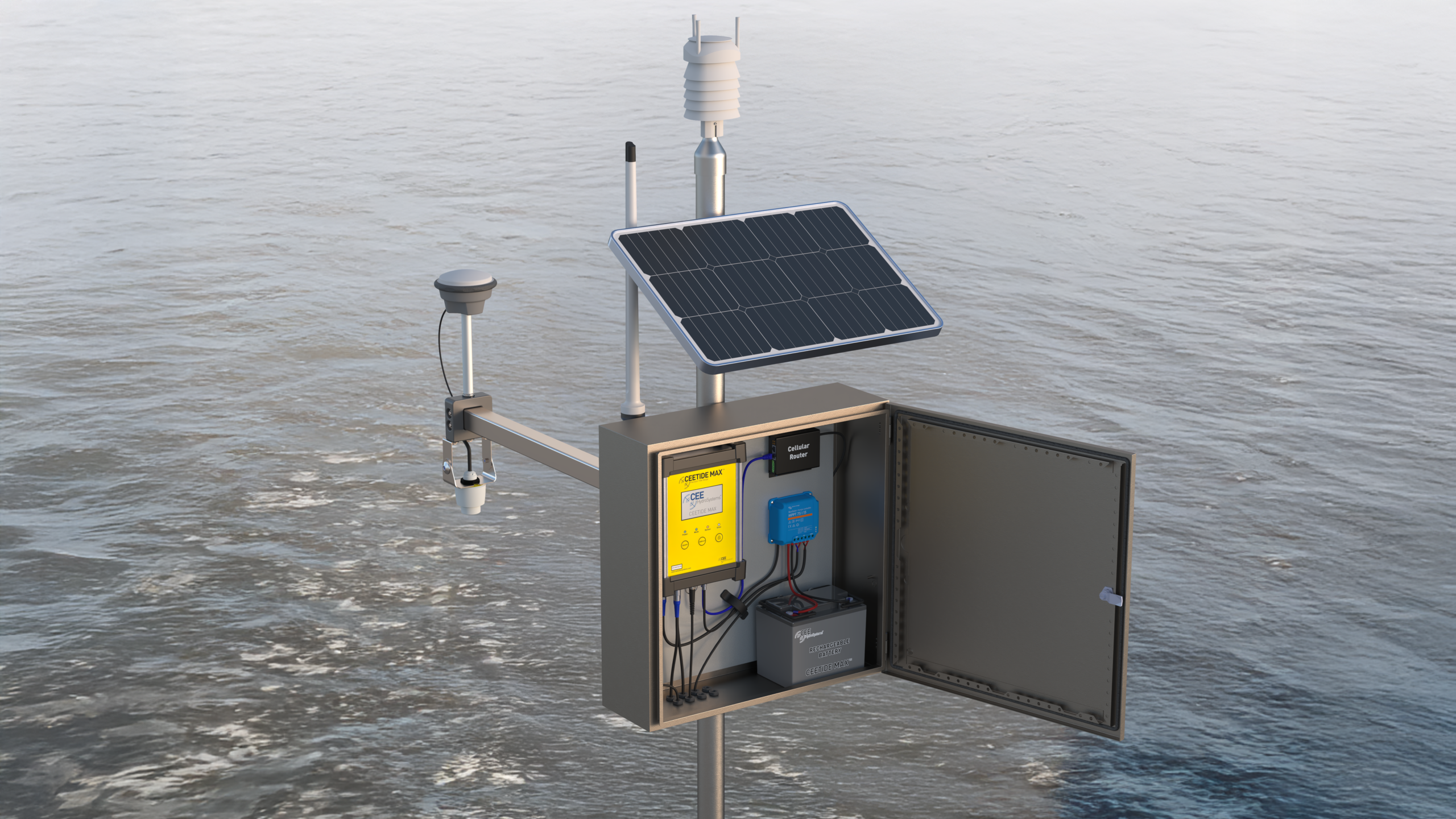
The CEETIDE MAX™ is the next generation in radar tide gauges. Offering easy installation, accurate recording and web connectivity.
2
Radar channels
20 Hz
Wave sampling
IP65
Enclosure
RTK
Base station
Survey Datum
monitoring
Tide and waves
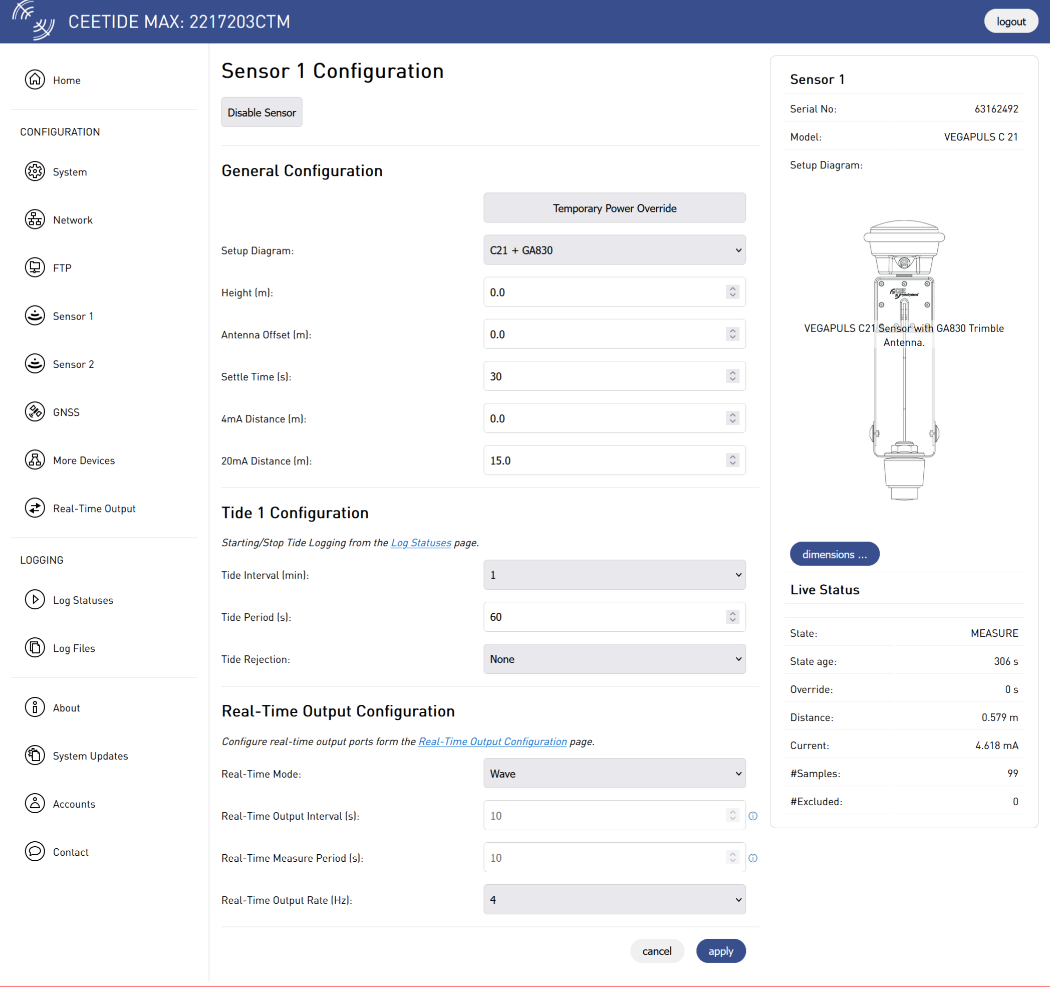
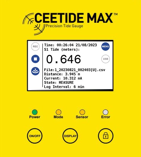
Two VEGAPULS 80 GHz radar channels record tide and live wave at up to 20 Hz, with GNSS time synchronisation keeping every reading accurately timed.
2
radar channels
20 Hz
wave output
Tied to the ellipsoid
The optional Trimble receiver measures the offset to the ellipsoid, tracks subsidence and can run the station as a permanent RTK base for survey crews nearby.
1 Hz
raw GNSS
RTCM
base output
Weather station
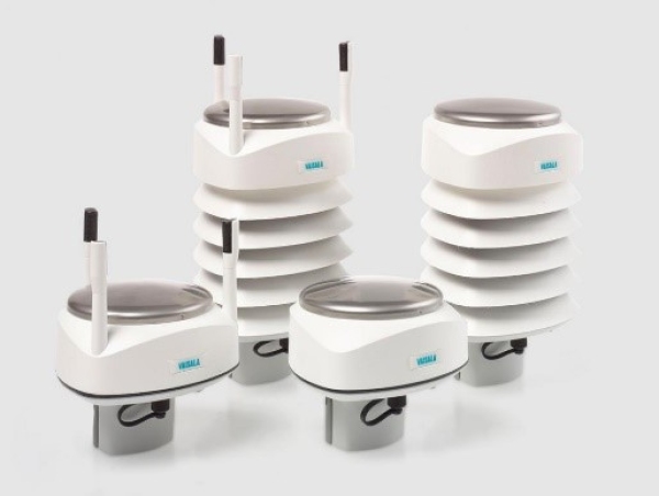
Add a Vaisala transmitter and wind, rain, pressure, temperature and humidity are logged with the tide and sent in the real-time output.
6
met parameters
1
station
Remote access
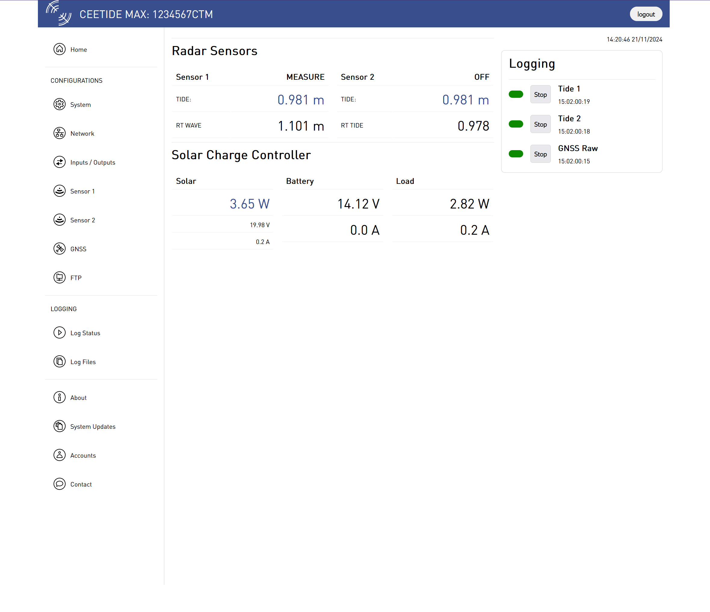
Live data, set-up and downloads from any browser, real-time output by radio, cellular or Ethernet, and years of tide readings stored on site.
64 GB
memory
5+ yrs
tide readings
Applications
From busy ports to remote coastlines.
Wherever a water level needs recording for years, or sending live to a vessel or control room.
Talk to us about your site →
Ports & harbours
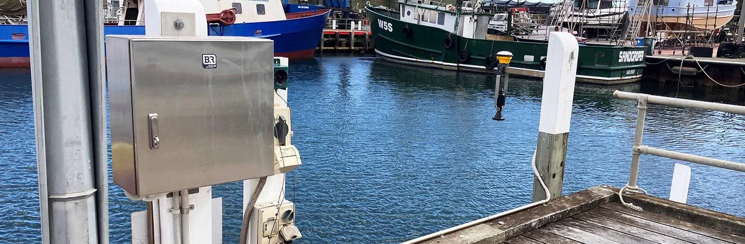
Continuous tide records and live output for port operations and navigation.
Hydrographic survey
Live tide to survey vessels over UHF or cellular, with the station as an RTK base.
Dredging & marine works
Real-time water level for dredge depth control and marine construction sites.
Flood & storm surge monitoring
Live water levels to flood warning and control-room systems, with long-term records for surge studies.
Remote & unattended sites
Solar power and web access, so the station runs for months without a site visit.
Industrial water levels
Interference-tolerant radar gauging for intakes, outfalls and plant sites.
Learn more
One station, four jobs.
A tide gauge, a weather logger, a GNSS base, all with remote access in one box.
01 / Tide and wave
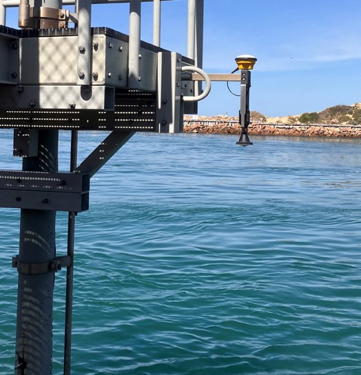
Tide and wave from one gauge
Two high accuracy radar channels permit simultaneous tide and wave monitoring, with accurate timing kept by regular GNSS time synchronisation.
Run one sensor for tide, or two for tide and wave
Short or long range VEGAPULS 80 GHz probes
Live wave output at 1, 2, 4, 5, 10 or 20 Hz
80 GHz
radar frequency
30 m
max range
See the detail
Case histories
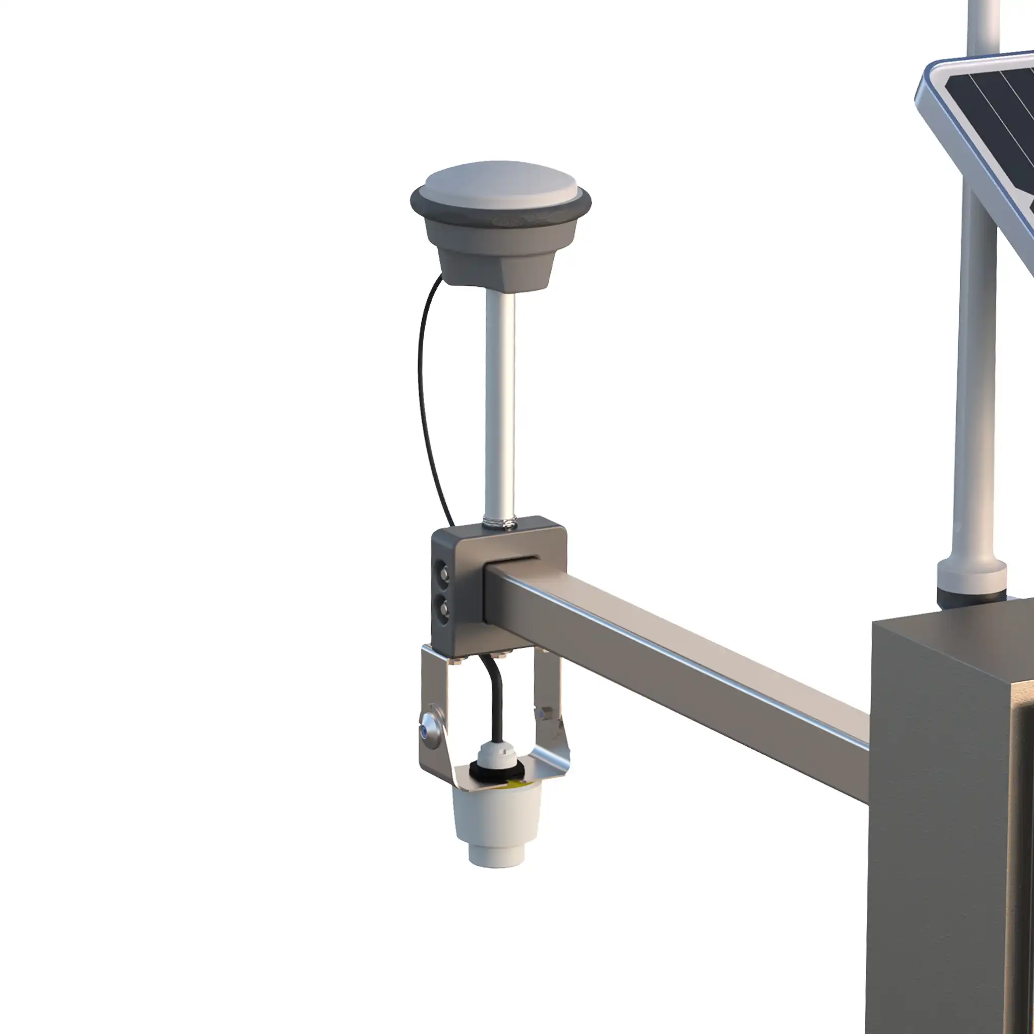
Proven on real surveys
Configure your system
Build your station
Pick your radar sensors, decide on GNSS, then connect the telemetry, power and devices your site needs.
1
Step 1 · Radar sensors
Choose your measuring range
Fit one or two independent VEGAPULS 80 GHz radar sensors: one for tide, or two for tide and wave together.
Short range · VEGAPULS C21
20 m
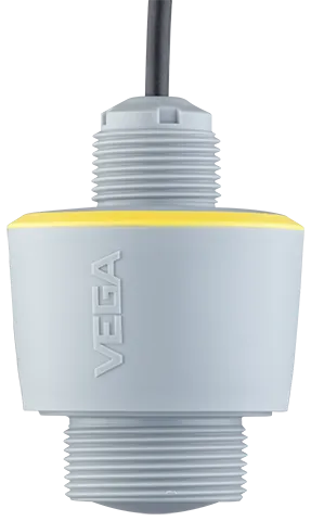
Wharves, jetties and piles
Distance
0.5 – 20 m (1.64 – 65.62 ft)
Beam angle
8°
Frequency
80 GHz
Cable length
Up to 25 m (82 ft)
Full details
Long range · VEGAPULS C23
30 m
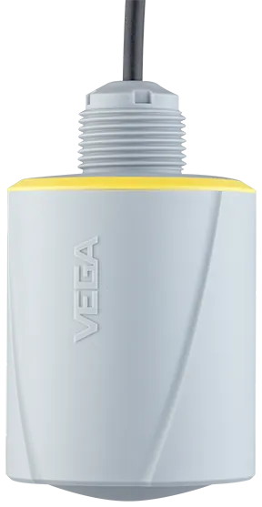
High mounts and large tidal ranges
Distance
0.5 – 30 m (1.64 – 98.5 ft)
Beam angle
4°
Frequency
80 GHz
Cable length
Up to 25 m (82 ft)
Full details
2
Step 2 · GNSS receiver (optional)
Choose your internal GNSS
Tie the gauge to the ellipsoid, watch for subsidence and run the station as an RTK base — or fit a timing-only receiver.
Trimble
BD990
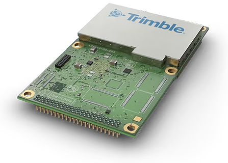
Quad-frequency, fastest RTK fix
Frequencies
L1 L2 L5 E6
Datum and subsidence
Raw GNSS data
1 Hz
RTK base output
RTCM
Trimble
BD9250
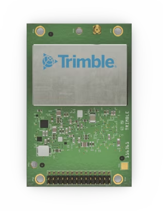
Dual-frequency, lower cost
Frequencies
L1 + L2 or L5
Datum and subsidence
Raw GNSS data
1 Hz
RTK base output
RTCM
u-blox
MAX-M10S
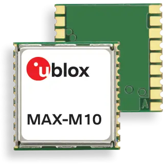
Timing only
Frequencies
L1
Timing and position
Raw GNSS data
—
RTK base output
—
All receivers use a TNC antenna port with 5 V active supply. Raw data is logged as Trimble RT17 / RT27 binary.
3
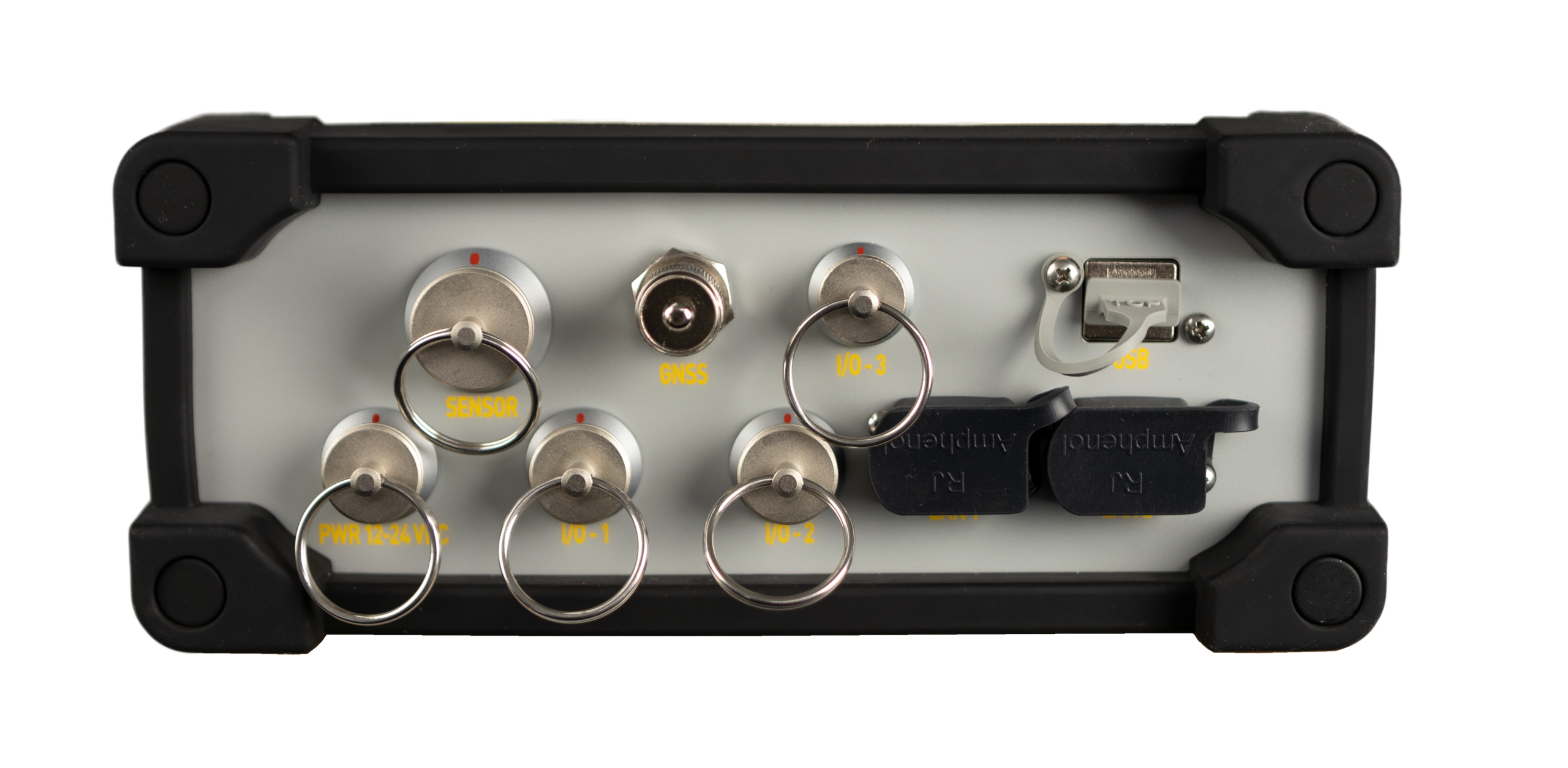
Step 3 · Connections
Everything it connects to
Real-time output by radio or cellular, PoE devices on site, and solar monitoring through VE.Direct.
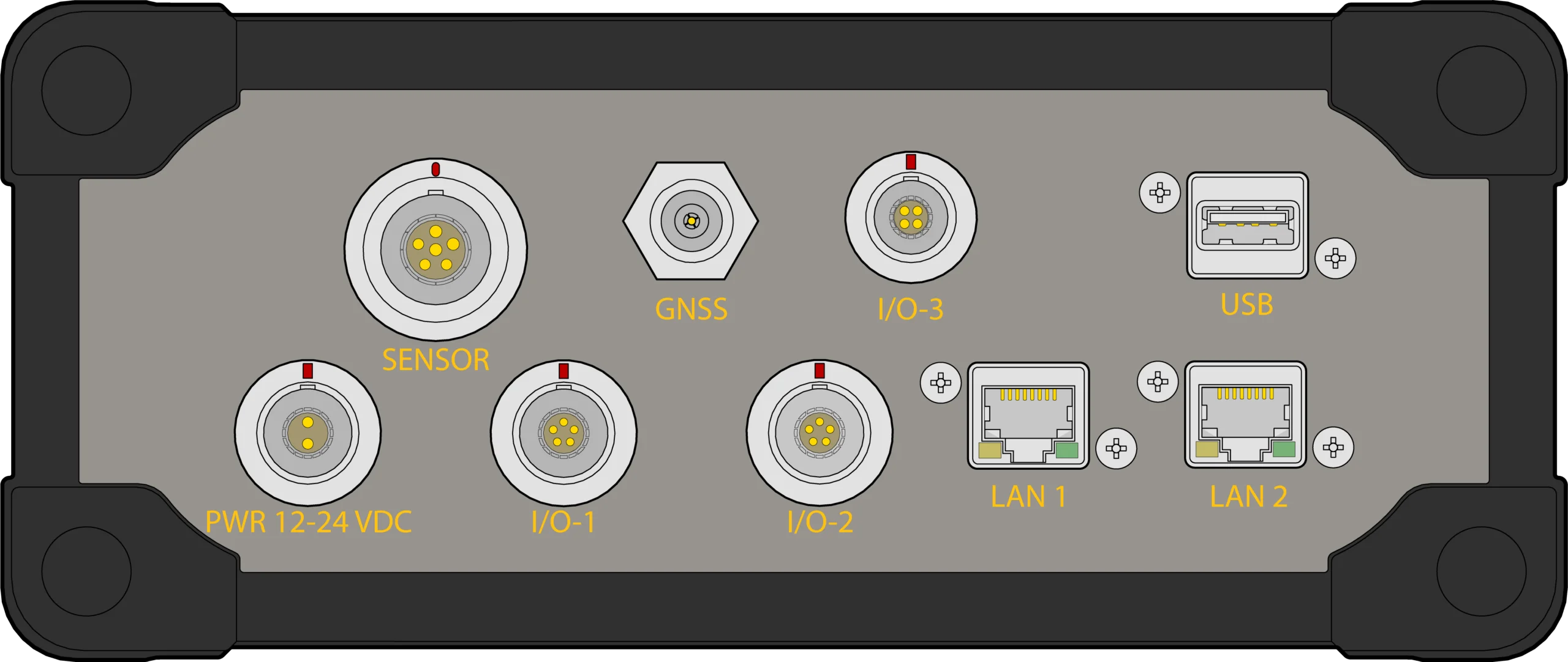
PWR
Power input
12 / 24 VDC supply, 11 – 33.6 V input range
SENSOR
Radar sensors
Two isolated 4–20 mA / HART channels on one Y-cabled connector
I/O-1
Real-time output
RS-232 to a Satel UHF radio, with 12 V relay drive
I/O-2
Weather station
RS-232 to a Vaisala WXT530 series transmitter
I/O-3
Power management
Victron MPPT 75/15 solar controller via VE.Direct
TNC
GNSS antenna
Active antenna with 5 V supply
LAN 1 & 2
Network and PoE
Cellular router, PoE camera or VPN device, 15.4 W per port
USB
On-site download
Log files and firmware updates by USB drive
Specifications
The numbers that matter
Headline specs below. Open the full list for sensor inputs, GNSS, data output and weather.
Physical
Dimensions
214 × 90 × 288 mm (W × D × H) · 8.4 × 3.5 × 11.3 in
Weight
2.9 kg (6.3 lbs)
Environmental
Operating range
−10°C – 60°C (14°F – 140°F)
Storage range
−30°C – 70°C (−22°F – 158°F)
Ingress protection
IP65
Power
Input supply range
11.0 – 33.6 VDC
Current (12 V) – sleep
< 20 mA
Current (12 V) – typical
555 mA
Current (12 V) – max. excl. PoE
1200 mA
Current (12 V) – max. incl. PoE
4200 mA
Maximum PoE output
15.4 W max. per channel
Low power mode
Sleeps between jobs, with a daily web server access window
Connections
PWR · LEMO 1K 2-pin
External 12/24 VDC power input
SENSOR · LEMO 2K 6-pin
4–20 mA / HART sensor I/O, two isolated channels
I/O-1 · LEMO 1K 5-pin
RS-232 real-time output, 12 V relay drive
I/O-2 · LEMO 1K 5-pin
RS-232 weather station, 12 V relay drive
I/O-3 · LEMO 0K 4-pin
Victron VE.Direct / battery management interface
TNC
GNSS antenna with 5 V active supply
RJ45
Ethernet / active PoE
RJ45
Ethernet / active PoE
USB
Data transfer and firmware upgrades
Request A Quote
Loading the quote form…