
Plan, collect, process and chart in one package
HYPACK®
Hydrographic survey software
The world’s most used hydrographic survey software, with a dedicated CEE drivers for the CEESCOPE™, CEE ECHO™, CEE-LINE™ and CEE-USV™
Product Overview
The world’s most used survey software.
HYPACK® is used by more than 10,000 surveyors to plan, collect, process and chart hydrographic data. With the dedicated CEE driver, the CEESCOPE™ and CEE ECHO™ record their full water column echogram and time-stamped data straight into HYPACK® — and CEE sets you up and supports you from day one.
Applications
One package, every single beam job.
From quick depth checks to dredge volumes, HYPACK® takes the data all the way to the final product.
Talk to us about your site →
Bathymetric surveys
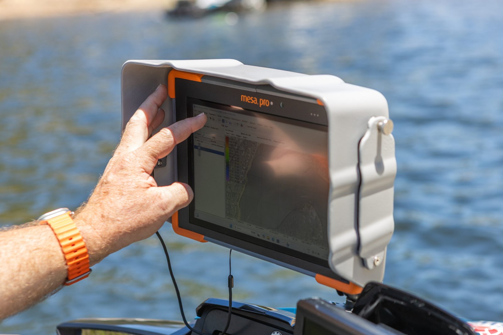
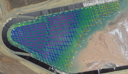
Plan lines, log on line automatically and edit soundings with real-time quality control.
Dredging & channels
Pre- and post-dredge surveys with cross sections and volumes.
Sub aquatic vegetation mapping
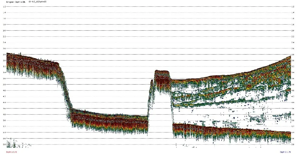
The echogram separates the vegetation canopy from the true bottom.
Sediment & sub-bottom
The dual channel echogram shows soft sediment layers as you survey.
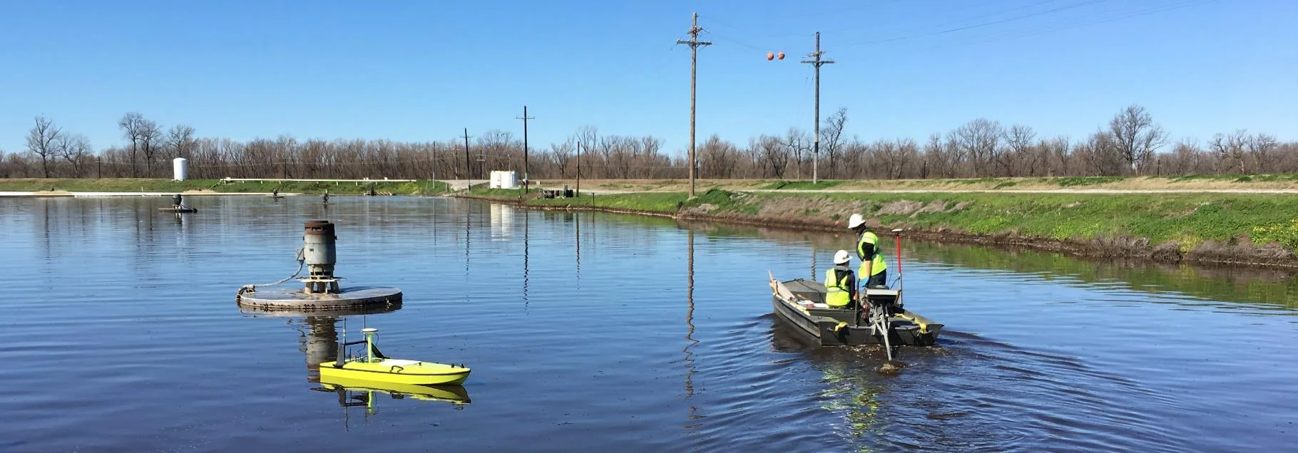
USV surveys
Steer the CEE-USV™ SPECTRE autopilot from HYPACK® and log lines automatically.
Side scan & more
HYPACK® MAX adds side scan, sub-bottom, ADCP and magnetometer data.
Case histories
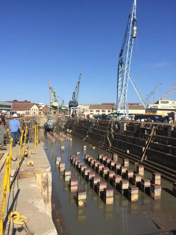
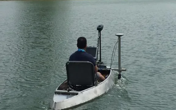
Proven on real surveys
Learn more
Why surveyors choose HYPACK®
Plan, collect, edit and chart in one package, with real-time quality control on every ping.
01 / Plan & collect
Plan it, then survey it
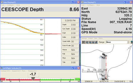
Set up geodesy, background charts, RTK tides and your equipment in HYPACK® SHELL, then plan lines. HYPACK® SURVEY shows bathymetry, GNSS status and coverage in real time and logs automatically on your line plan.
Geodesy, background charts and RTK tides
Line planning with automatic logging
Coverage and GNSS status in real time
400+
supported devices
10,000+
users worldwide
See the detail
Get started
Choose your HYPACK® package
Every package runs the CEE driver. Choose how far you want to take the data in HYPACK®.
1
Step 1 · Package
Full package or single beam only?
HYPACK® MAX takes any sensor to the final product. HYPACK® ECHO is the economical single beam package.
Everything, to final products
HYPACK® MAX
Complete package
Sensors
Single beam, side scan, sub-bottom, ADCP, mag
Covers
Planning, collection, editing, final products
Final products
TIN models, charts, cross sections, volumes
Single beam, simplified
HYPACK® ECHO
Most economical
Sensors
Single beam, including dual frequency
Covers
Planning, navigation, acquisition, processing
Output
Single Beam Editor, XYZ, DXF contours
Vessels
Manned, remote or autonomous
2
Step 2 · Other packages
Adding a vessel or finishing in CAD?
Focused packages for collection only, processing only, or collect-and-export.
Collect + edit, finish in CAD
HYPACK® LITE
Covers
Plan, collect, process
Output
XYZ and DXF / DGN for GIS
Extra survey vessels
HYPACK® SURVEY
Covers
Plan and collect only
Needs
MAX, LITE or OFFICE to edit
Office processing
HYPACK® OFFICE
Covers
Editing and final products
Use
Process data from SURVEY
Multibeam runs in HYSWEEP® and dredge monitoring in DREDGEPACK®. Ask us if you need either.
3
Step 3 · Licence & support
Licensed, updated and supported
Buy HYPACK® with a CEE echo sounder and we set it up with you.
PLAN
Maintenance plan
New HYPACK® releases and HYPACK support while your plan is active
TRAIN
Startup training
In person training covering single beam surveying basics with CEE HydroSystems gear and HYPACK®
KB
Knowledge base
Driver selection and setup notes for CEE echo sounders
Product videos
See the HYPACK® at work
See more videos

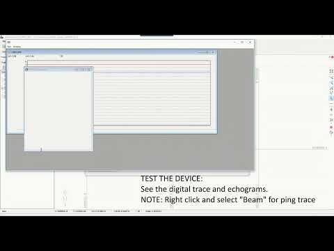
Driver Setup For CEESCOPE™ and CEE ECHO™ – HYPACK 2021 …
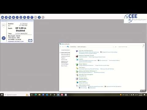
CEE Training Video Configuring the Network Connection
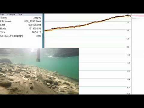
Extreme Shallow Survey – 200 kHz
Obtain Defensible Data: See what Really Lies Below
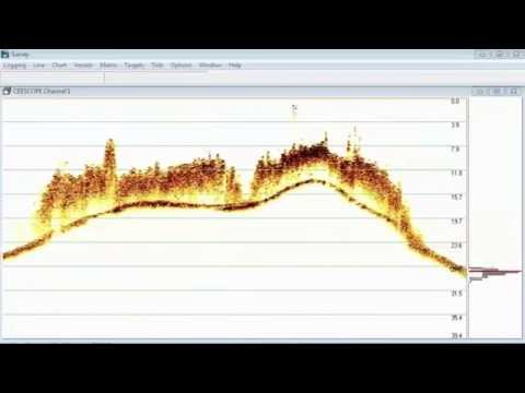
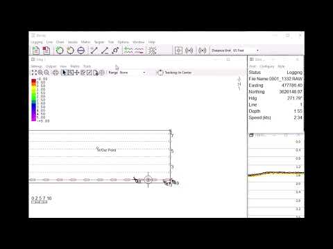
HYPACK® Data Acquisition – Monitoring Sub Aquatic Vegetation Height
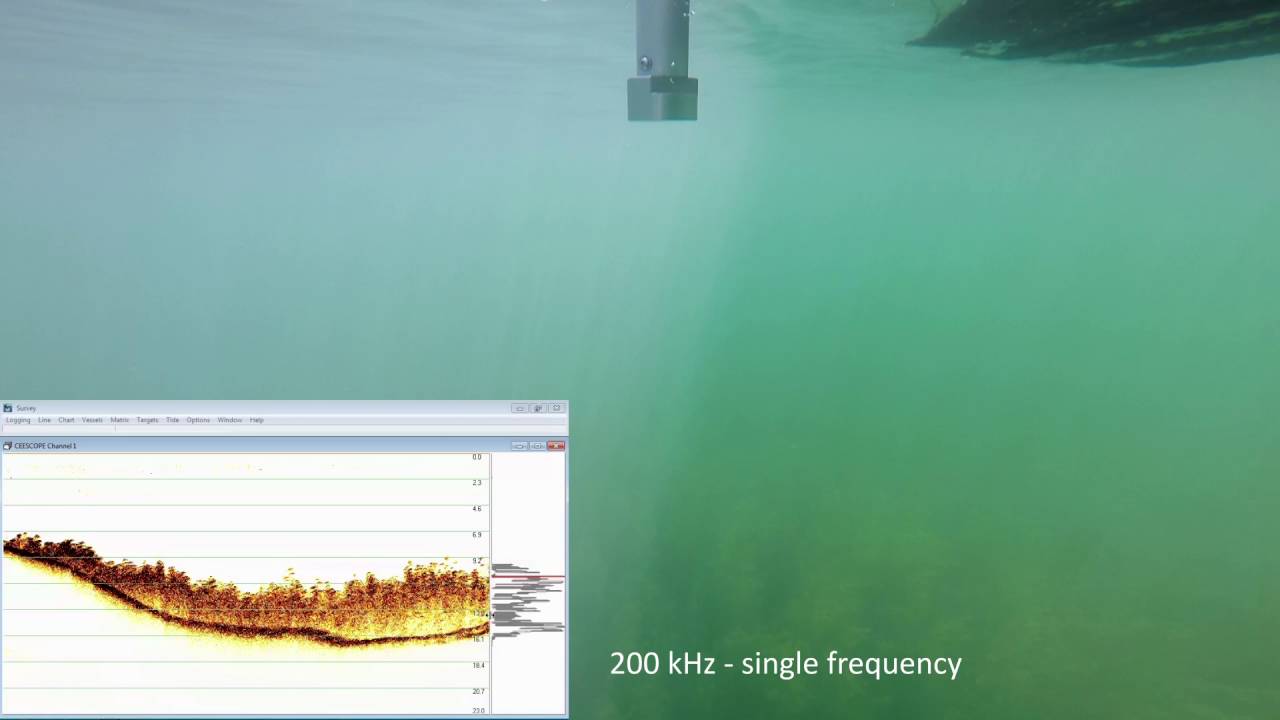
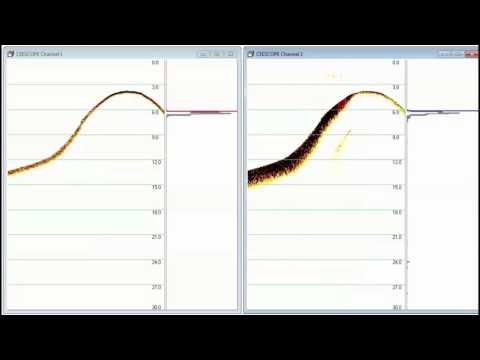
HYPACK® Data Acquisition with Single and Dual Frequency Operation
HYPACK® 2024 New Driver for Operation of the CEE-USV™ Autopilot
Specifications
At a glance
HYPACK® at a glance. Open the full list for the wider HYPACK® family and support.
Software
Developer
HYPACK, a Xylem brand
Current release
HYPACK® 2026 (2026 Q2, July 2026)
Platform
64-bit Windows
Licence
USB hardware key
Updates
Included with an active maintenance plan
CEE equipment
CEESCOPE™ / CEE ECHO™
Dedicated CEE driver
CEE data format
RAW soundings plus BIN echogram
Timing
Echo sounder time stamps
CEE-USV™
SPECTRE.DLL autopilot driver
Driver choice
Depends on HYPACK® version, see knowledge base
Single beam workflow
Preparation
HYPACK® SHELL: geodesy, charts, RTK tides, lines
Acquisition
HYPACK® SURVEY
Editing
Single Beam Editor
Thinning
SORT, user-defined spacing
Final products
TIN models, charts, cross sections, volumes
Packages
HYPACK® MAX
All sensors, planning to final products
HYPACK® ECHO
Economical single beam package
HYPACK® LITE
Collect and process, export to CAD-GIS
HYPACK® SURVEY
Collection only
HYPACK® OFFICE
Processing and final products



Request A Quote
Loading the quote form…