

Case histories › Case history
Case history
CEE ECHO™ with HYPACK selected by BayLand for Chesapeake Bay hydrographic surveys
BayLand Consultants & Designers chose the CEE ECHO™ with HYPACK for shallow water surveys in the Chesapeake Bay. The compact system improved survey craft flexibility and mobilization time, and training in full water column echograms lets BayLand more quickly identify and remove submerged aquatic vegetation signals.
At a glance
- Client
- BayLand Consultants & Designers, Inc.
- Location
- Baltimore, Maryland, USA (Chesapeake Bay region)
- Application
- Shallow water hydrographic surveys for dredging, shoreline and ecological restoration projects
- Equipment
- CEE ECHO™ single beam echo sounder
- GNSS and software
- Trimble R8S GNSS rover (cell phone VRS or UHF base corrections), HYPACK®
- Since
- 2018 equipment review
About BayLand Consultants & Designers
BayLand Consultants & Designers, Inc., based in Baltimore, Maryland, is an experienced engineering and environmental services firm operating throughout the Chesapeake Bay region. BayLand offers complete project services, including assessments, planning, design, permitting, construction management and post-construction monitoring.
With a significant land and hydrographic survey requirement within many of its dredging, shoreline and ecological restoration projects, the survey department has many years of field expertise providing survey services in the region. Since its inception in 1995, BayLand has completed hundreds of surveys throughout the Chesapeake Bay.
The challenge
During a 2018 survey equipment lifecycle review, BayLand decided to investigate available new hydrographic echo sounding equipment. With a focus on instruments with capabilities matched to its unique projects, BayLand was looking for detail, accuracy and quality control for shallow water environments.
The goal was to take advantage of the latest single beam echo sounding technology to improve cost effectiveness for projects and continue to enhance in-house survey capabilities.
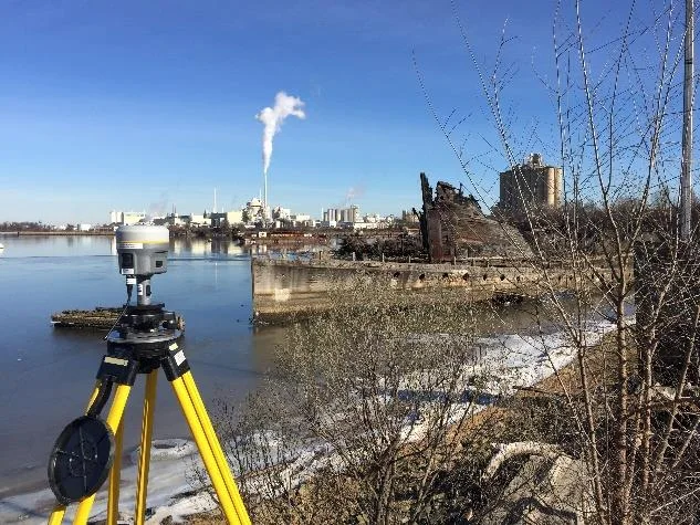
Working within a Trimble GNSS infrastructure, the new echo sounding equipment was to be used with a R8S GNSS rover utilizing cell phone VRS or UHF base station corrections.
The solution
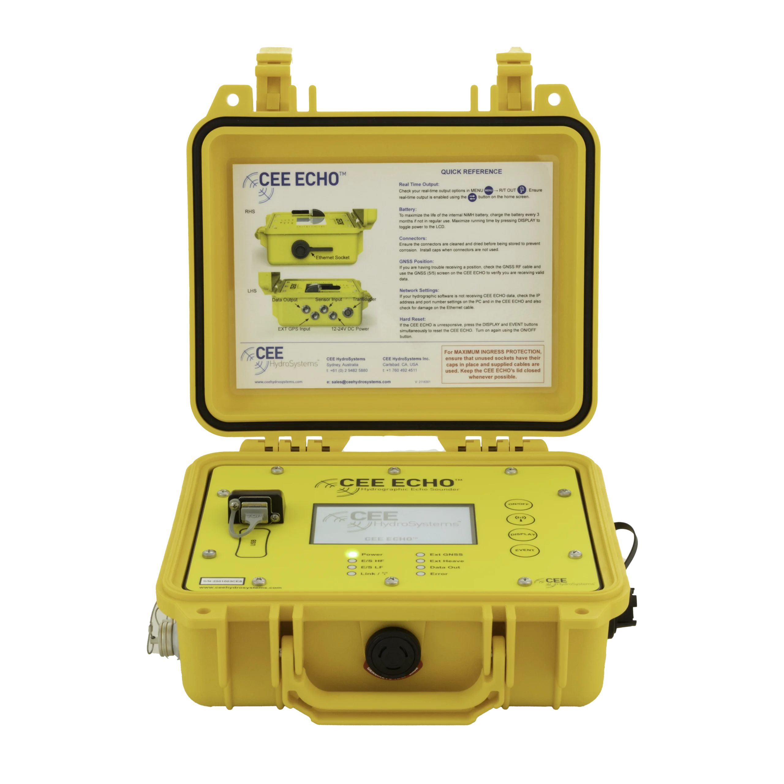
After a technical review, BayLand selected the CEE HydroSystems CEE ECHO™ echo sounder with HYPACK® software for real time navigation and acquisition. In addition to offering the detail and accuracy needed, the CEE ECHO also manages and records the GNSS and sounding data, allowing BayLand to identify efficiencies and new enhanced QC processes for future projects.
The new compact echo sounding system also offered advances in survey craft flexibility and mobilization time.
For reliability in data processing, industry standard HYPACK software is used from acquisition through editing, to generation of the reduced final hydrographic dataset. BayLand’s hydrographic results are expressed as an elevation above Mean Low Water as determined by the local geoid or using the HYPACK VDATUM transformation to a tidal datum, and would typically be merged in with a concomitant land survey dataset.
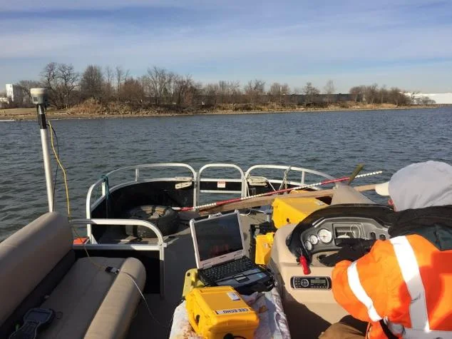
Training in the ice
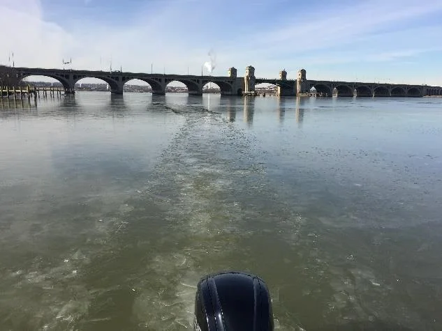
During an icy CEE HydroSystems training course in Baltimore, BayLand augmented its hydrographic skills with instruction in collection and interpretation of the full water column echogram available from the CEE ECHO.
With survey projects sometimes encountering submerged aquatic vegetation (SAV), BayLand is now able to more quickly identify and remove SAV signals from survey datasets.

Why BayLand chose CEE
BayLand Principal and Vice President Sepehr Baharlou, P.E., summarized the new CEE HydroSystems acquisition.
“For us to reinvest in our hydrographic survey equipment we chose CEE Hydrosystems for its ability to work in shallow water, portability, integration with HYPACK software, customer service and cost efficiencies. We plan to use the equipment to provide hydrographic surveys in support of our environmental assessments, waterway restoration and marine infrastructure projects.”
Sepehr Baharlou, P.E., Principal and Vice President, BayLand Consultants & Designers
Planning a similar survey?
Tell us about your site and we’ll recommend the right equipment.
Talk to us →
More from the field
6 Jan 2026
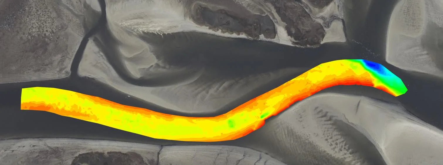
Dredging contractor brings surveys in-house with the CEE ECHO™ and Hydromagic
ACT Marine, a New England dredging contractor, uses a CEE ECHO™ with Hydromagic for its own QC and pre-final clearance surveys. The system sets up in 20 minutes, its results match the third-party survey, and projects are accepted on the final survey without costly post cleanup.
ACT Marine, a New England dredging contractor, uses a CEE ECHO™ with Hydromagic for its own QC and pre-final clearance surveys. The system sets up in 20 minutes, its results match the third-party survey, and projects are accepted on the final survey without costly post cleanup.
Read case history →
13 Nov 2025
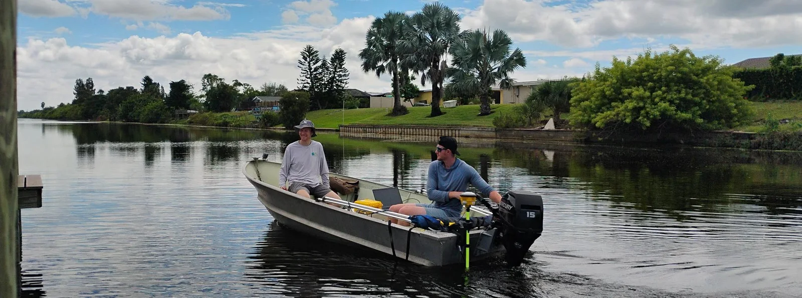
Blue Arc Engineering halves fieldwork on dock permit surveys with the CEE ECHO™ and Hydromagic
Blue Arc Engineering in Fort Myers, Florida swapped manual range pole and GNSS depth surveys for a CEE ECHO™ with Hydromagic and its existing Trimble R780. Fieldwork that would have taken a full day was cut in half, and the bathymetric product followed within days.
Blue Arc Engineering in Fort Myers, Florida swapped manual range pole and GNSS depth surveys for a CEE ECHO™ with Hydromagic and its existing Trimble R780. Fieldwork that would have taken a full day was cut in half, and the bathymetric product followed within days.
Read case history →
10 Dec 2024
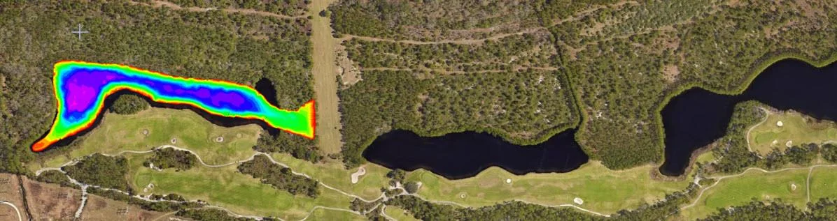
AOI Solutions surveys a hurricane-hit construction pond with the CEE ECHO™ and Hydromagic
AOI Solutions surveyed a Daytona Beach retention pond, hit by hurricane Helene inflow and active backfilling, in 3 hours with a CEE ECHO™ and Hydromagic. An edited RTK-grade bottom surface reached the client three hours later, and the echograms showed both the sediment level and the original pond bottom.
AOI Solutions surveyed a Daytona Beach retention pond, hit by hurricane Helene inflow and active backfilling, in 3 hours with a CEE ECHO™ and Hydromagic. An edited RTK-grade bottom surface reached the client three hours later, and the echograms showed both the sediment level and the original pond bottom.
Read case history →