

Case histories › Case history
Case history
Shallow river survey from an inflatable raft with the CEE-LINE™ and Trimble TSC7
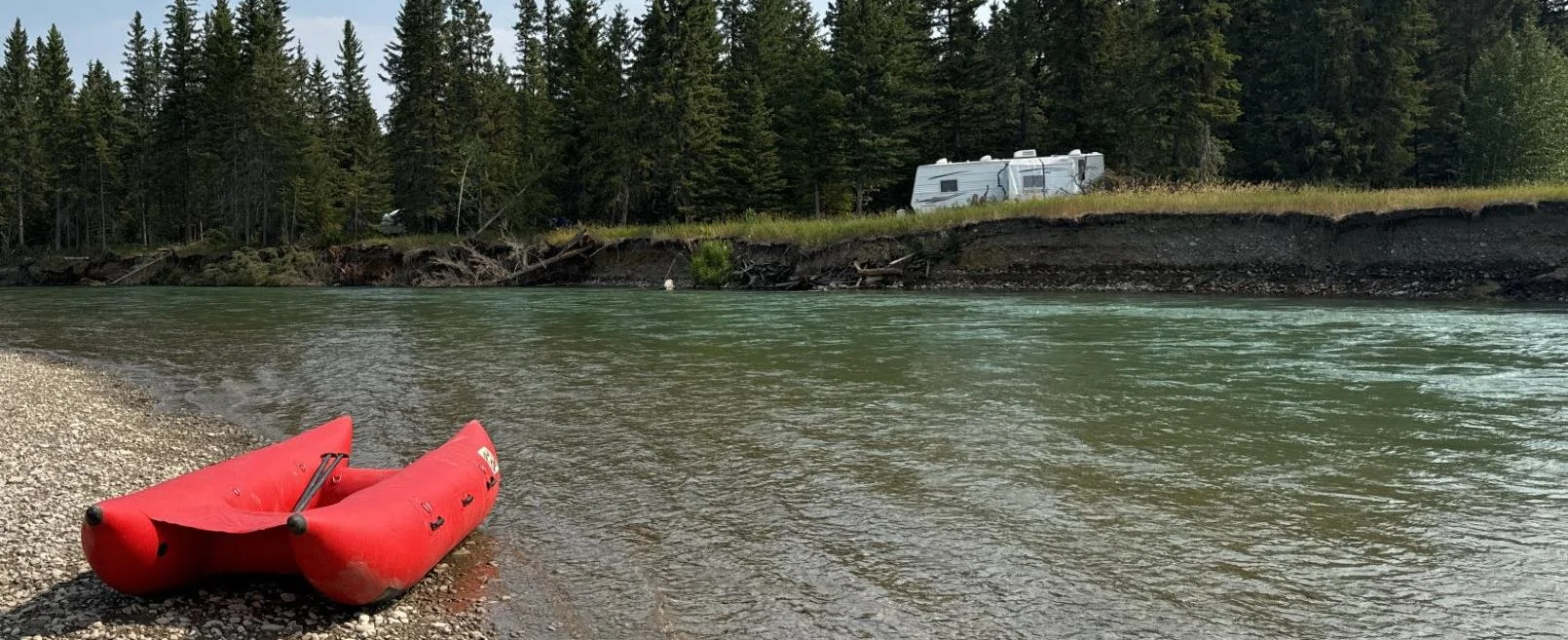
Engineering firm Midwest surveyed the remote, braided Red Deer River in Alberta and Saskatchewan by adding a CEE-LINE™ echo sounder to its Trimble R12i and TSC7 setup and paddling it on an inflatable raft. The survey, with depths often just inches below the transducer, produced a 3D elevation model for the client’s erosion and asset protection work.
At a glance
- Client
- Midwest (engineering and survey firm)
- Location
- Red Deer River, Alberta and Saskatchewan, Canada
- Application
- Shallow river crossing survey for bank erosion and riverbed scour monitoring
- Equipment
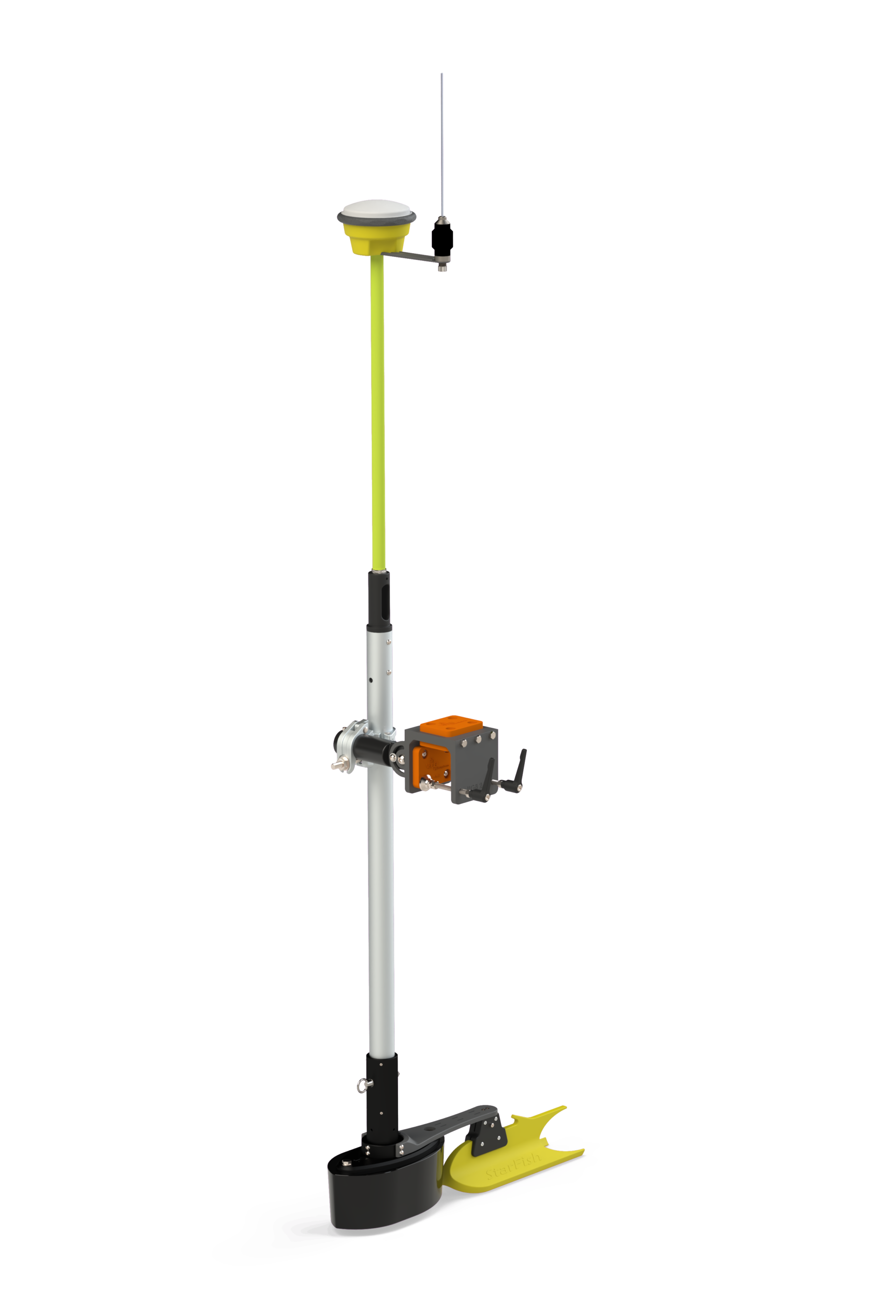
- CEE-LINE™ single beam echo sounder on an inflatable raft
- GNSS and software
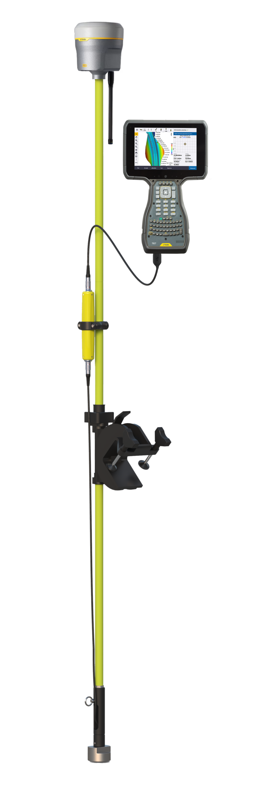
- Trimble R12i GNSS, Trimble TSC7 with Trimble Access, CEE-LINE CONNECT™
- Output
- 3D Digital Elevation Model (DEM) for engineering analysis
About Midwest
Midwest is a 75-year-old engineering company providing survey services throughout Canada. Often working in remote locations, Midwest has performed river crossing surveys across Western Canada since the early 2000s, adapting its equipment and methods to everything from small wading creeks to large navigable waterways.
For smaller crossings, Midwest’s field crews typically use RTK GNSS. Larger rivers need a 15-foot inflatable boat powered by a 40 hp jet motor, with a mounted single beam echo sounder.
The challenge
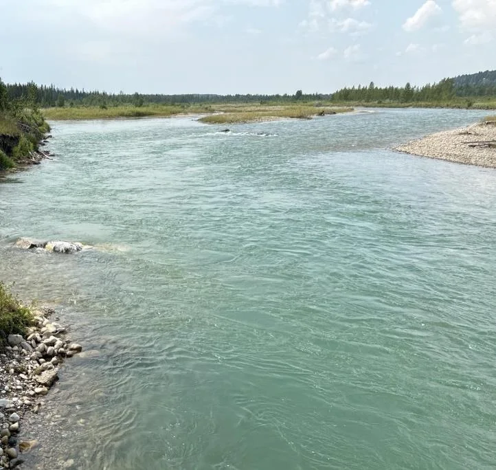
Some rivers present unique challenges, and the upper reaches of the Red Deer River are a prime example: a highly braided system with a narrow, deep main channel and no boat launches. Even if a motorised boat could be launched, shallow gravel bars would block access further on.
Midwest’s client has monitored bank erosion and riverbed scour at the site for over a decade. In that time the main channel has shifted about 1,000 m, from the west bank of the valley to the east bank, and in the past three years the east bank has receded by roughly 5 m, threatening critical infrastructure.
A lightweight, portable echo sounder was needed that could be mounted on a small inflatable raft in this extremely shallow river, with survey depths often just a few inches below the transducer.
The solution
Midwest added the CEE-LINE™ single beam echo sounder kit to its existing Trimble R12i GNSS and TSC7 data collector setup, and installed it on an inflatable raft that was paddled along the river.
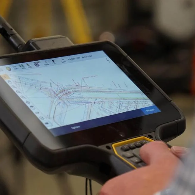
The CEE-LINE™ and TSC7 make a simple survey setup. The CEE-LINE™ connects with a single USB cable for a true plug-and-play result: the CEE-LINE CONNECT™ app controls the echo sounder while Trimble Access collects the survey points.
The survey
The crew launched upstream of the target area and paddled downstream, making multiple passes to capture accurate riverbed positions and elevations. By combining the echo sounder data with RTK measurements of the banks and shallow areas, Midwest produced a detailed 3D Digital Elevation Model (DEM) for engineering analysis.
The results
1,000 mmain channel shift over the monitoring period
5 meast bank recession in three years
1USB cable to the TSC7
The survey delivered the riverbed data the client needed for its ongoing erosion and asset protection work, in a river a motor boat could not reach.
“Without the CEE-LINE™ system, completing this survey would not have been possible. This innovative approach allowed us to deliver precise data for our client’s ongoing erosion and asset protection efforts.”
Midwest survey team
Planning a similar survey?
Tell us about your site and we’ll recommend the right equipment.
Talk to us →
More from the field
13 Nov 2025
CEE-LINE™ for trustworthy shallow water bridge scour surveys in Germany
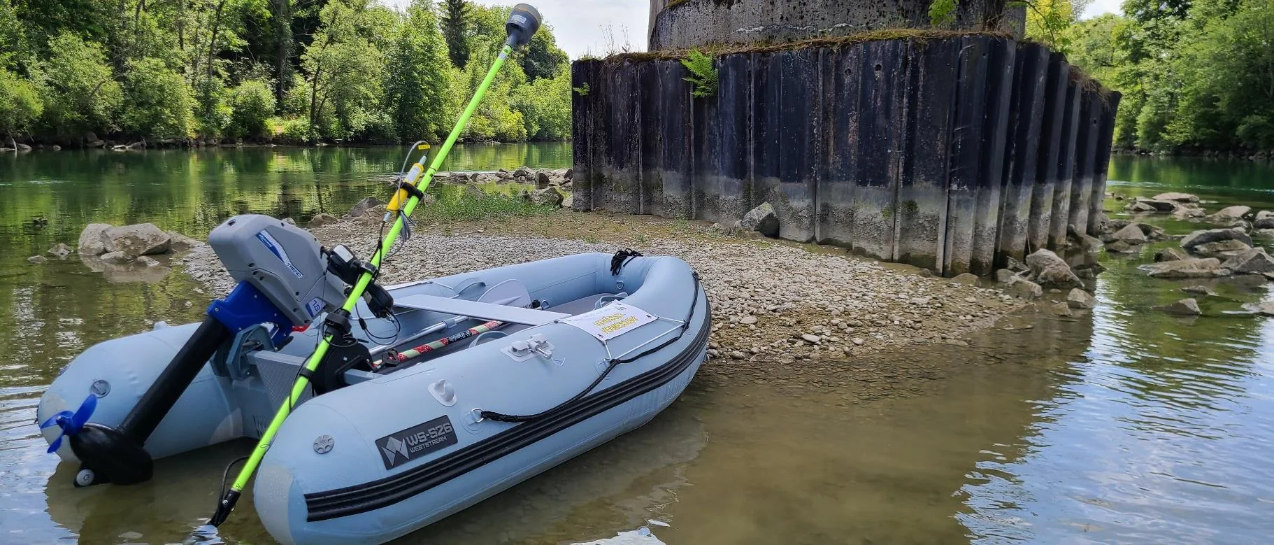
After several basic pole mounted echo sounders fell short, Ingenieurbüro Saam GmbH in Upper Bavaria adopted the CEE-LINE™ for bridge scour and river surveys in the Trimble Access environment. Datasets were consistent, repeatable and trustworthy, with consistent depths in very shallow water even near bridge structures.
After several basic pole mounted echo sounders fell short, Ingenieurbüro Saam GmbH in Upper Bavaria adopted the CEE-LINE™ for bridge scour and river surveys in the Trimble Access environment. Datasets were consistent, repeatable and trustworthy, with consistent depths in very shallow water even near bridge structures.
Read case history →
2 Feb 2019
CEE-LINE™ with Trimble R10 used for Lake Eleanor dam survey from a kayak
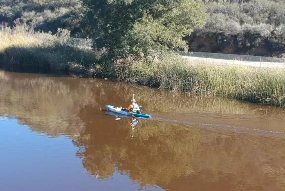
GIS Surveyors surveyed the 8.2 acre Lake Eleanor reservoir from a kayak with a CEE-LINE™, Trimble R10 and TSC3, with no extra mobilization or setup time. Data went to Civil 3D for contours and a volume calculation, and the client was very happy with the results.
GIS Surveyors surveyed the 8.2 acre Lake Eleanor reservoir from a kayak with a CEE-LINE™, Trimble R10 and TSC3, with no extra mobilization or setup time. Data went to Civil 3D for contours and a volume calculation, and the client was very happy with the results.
Read case history →