

Hydrographic Survey Software Supply, Training and Support
CEE HydroSystems is able to offer a complete hydrographic survey software and hardware solution. In addition to echo sounding and GNSS positioning hardware, acquisition software options from worldwide industry leader HYPACK® and single beam acquisition specialists Eye4Software are available. Staff from CEE HydroSystems are expert in both packages, and can provide office and field training for new users. By working closely with the software developers, CEE HydroSystems ensure that advanced features of the CEESCOPE™ and CEE ECHO™ echo sounders are fully utilized in simple device-specific drivers in both HYPACK® and Hydromagic. As new software versions are released, CEE HydroSystems diligently tests each revision with CEE echo sounders to make sure no issues arise. The CEE commitment does not end after the software training; field technical support is available for any CEE customer – hardware and software.
Why Use Hydrographic Survey Software?
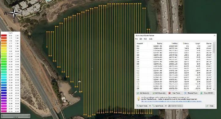
Simple hydrographic projects are sometimes undertaken by collecting discrete bathymetric point measurements in a GNSS data collector while simultaneously recording an (RTK) position and elevation fix. While this approach offers convenience, sounding quality control is difficult or impossible and latency errors can be substantial. For anything except a small-scale bathymetric survey, using a professional acquisition software package offers several advantages:
- Real time sounding quality control to ensure survey results are valid.
- Real time vessel navigation view: see the boat position, heading and accurately georeferenced soundings.
- Follow pre-planned survey lines.
- Benefit from high echo sounder ping rates for maximum accuracy and detail.
- Use advanced editing tools to filter data.
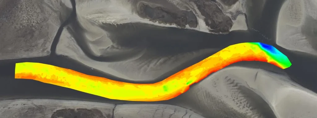
- Export a high quality XYZ point cloud or finished TIN model.
Already Have Acquisition Software?
CEE HydroSystems will help to make sure that the appropriate configuration is used on existing software, and CEE echo sounders are directly compatible with all industry acquisition packages – QPS QINSy, Trimble HYDROPro, and Teledyne PDS in addition to HYDROMAGIC and HYPACK®.
In the field.
All case histories ›
 CEE ECHO™ · Hydromagic
Dredging contractor brings surveys in-house with the CEE ECHO™ and Hydromagic
- CEE ECHO™ · Mounting Hardware
Blue Arc Engineering halves fieldwork on dock permit surveys with the CEE ECHO™ and Hydromagic
- CEE ECHO™ · Hydromagic
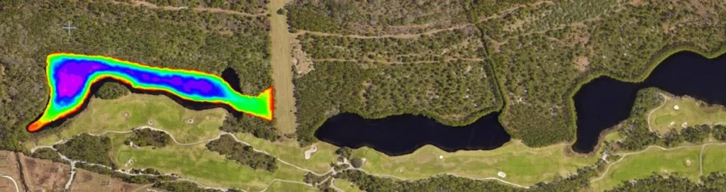
AOI Solutions surveys a hurricane-hit construction pond with the CEE ECHO™ and Hydromagic
- CEE-USV™ · Hydromagic
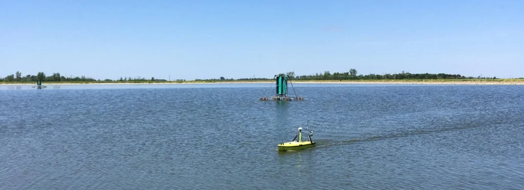
CEE-USV™ monitors sludge reduction in Minnesota effluent lagoons
- CEESCOPE™ · Mounting Hardware
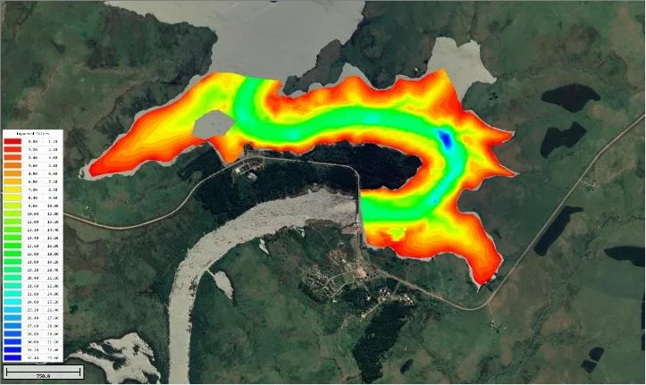
CEESCOPE™ flyaway kit used for a dam survey in South America
- CEE-USV™ · HYPACK®
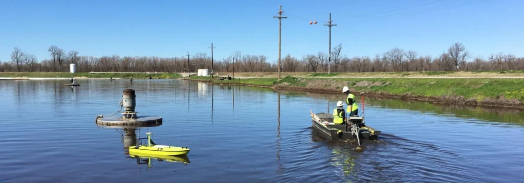
Manned and unmanned effluent lagoon surveys with the CEESCOPE™ and CEE-USV™
Survey guides.
All guides ›
Request A Quote