

Case histories › Case history
Case history
CEESCOPE™ flyaway kit used for a dam survey in South America
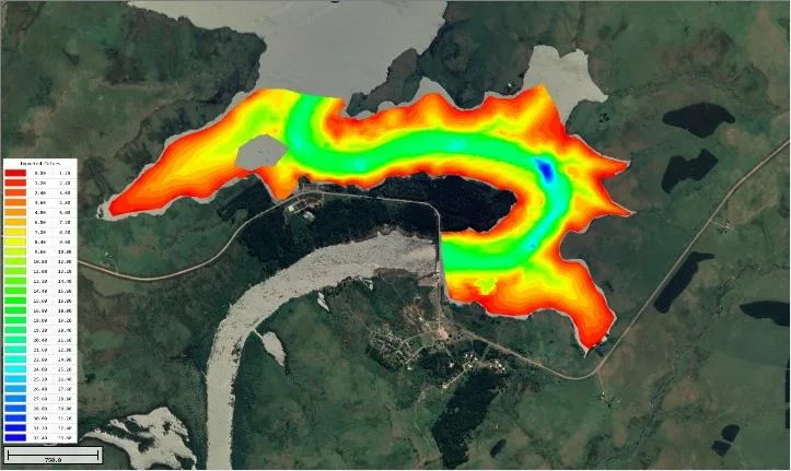
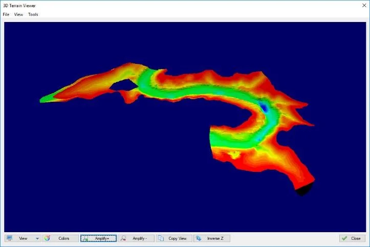
After two days of training, a transport engineer ran his first survey in South America two weeks after receiving the CEESCOPE™. The all-in-one echo sounder and Hydromagic made a successful reconnaissance dam survey simple, with the kit hand carried on the airline.


At a glance
- Client
- A transportation company (not named in the PDF)
- Location
- South America
- Application
- Reconnaissance hydrographic survey of a dam
- Equipment
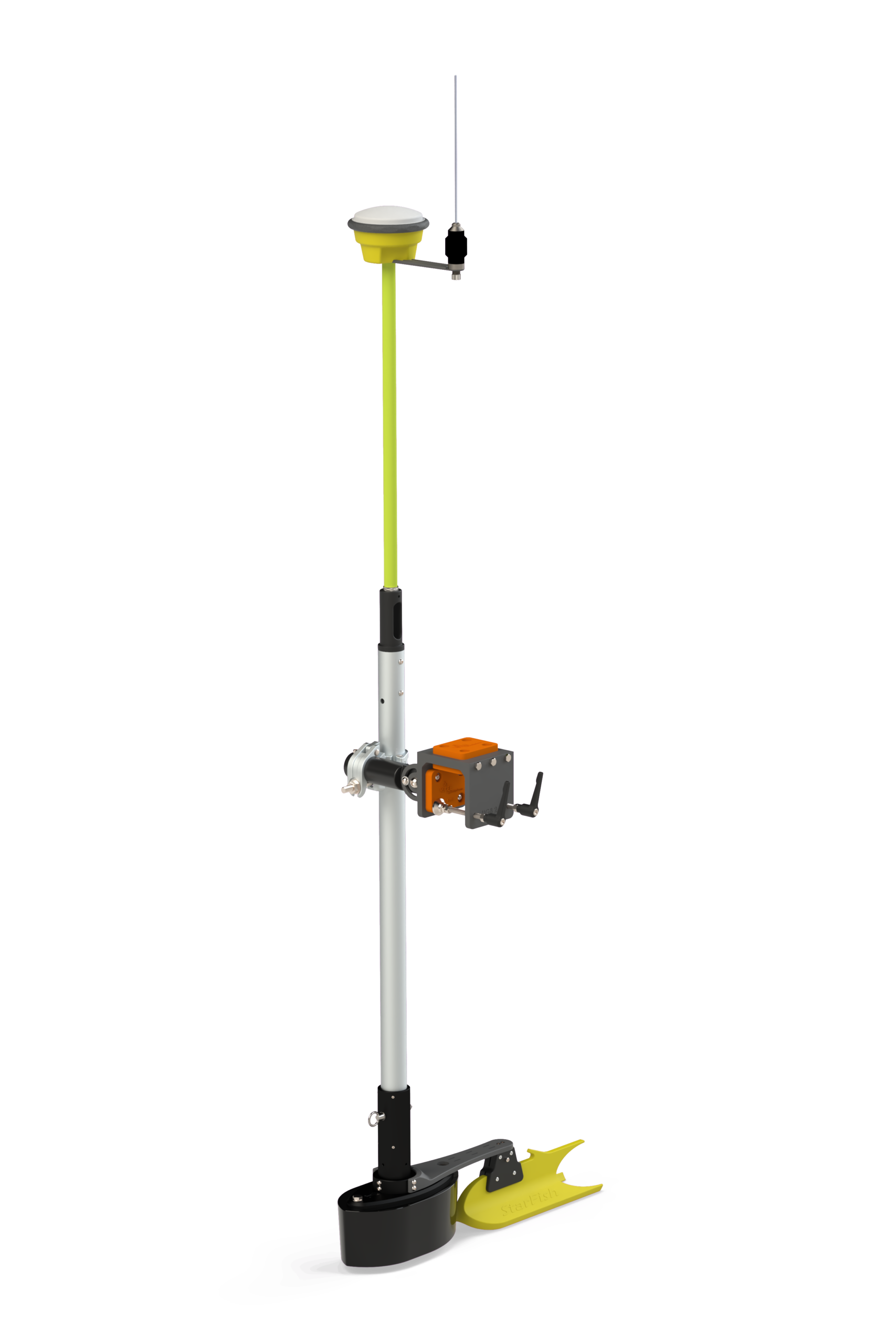
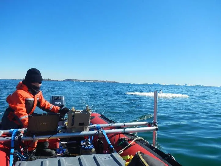
- CEESCOPE™ flyaway kit in a Pelican™ transit case, with CEE portable boat mount
- GNSS and software
- Hemisphere GNSS Atlas Basic L-Band, Hydromagic
- Training
- Two days, before the first survey
The challenge
The CEESCOPE™ echosounder and GNSS system was selected by a transportation company travelling overseas for reconnaissance hydrographic surveys. After receiving their CEESCOPE, the transport engineer had two days of training and set off to South America to conduct a survey – his first – two weeks later.
A successful outcome was in large part due to the simplicity of operation afforded by the “all in one” echo sounder design paired with Hydromagic software.
The flyaway kit
The CEESCOPE™ selected for the firm’s flyaway survey kit incorporated the Hemisphere GNSS Atlas Basic worldwide multi constellation L-Band signal. Atlas offers very high satellite counts and solid 0.5 m accuracy worldwide.
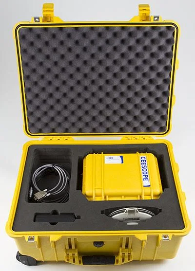
The CEESCOPE kit and the CEE portable boat mount were hand carried on the airline to the survey destination.
Surveying with Hydromagic
On the acquisition PC, the use of Hydromagic software presented a simplified interface with the CEESCOPE – simply plug and play. The software offers exceptional detail, and advanced quality control is possible in real time and during subsequent data processing.
Without a steep learning curve, the Hydromagic / CEESCOPE system can be effectively “self-supported” by CEE’s suite of downloadable training videos.

The results
2 daysof training
2 weeksfrom receiving the CEESCOPE to a first survey in South America
0.5 mworldwide accuracy from Hemisphere Atlas Basic
For inexperienced operators or seasoned hydrographic professionals, the thoughtful compact design of the CEESCOPE results in an unmatched system for flyaway-type surveying.
Planning a similar survey?
Tell us about your site and we’ll recommend the right equipment.
Talk to us →
More from the field
6 Jan 2026
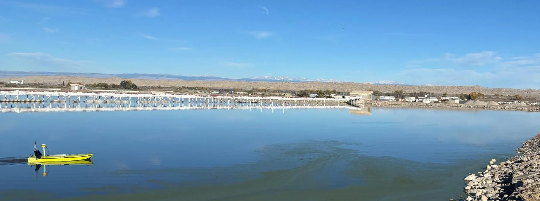
Trimble RTX for accurate wastewater sludge comparison surveys with the CEE-USV™
Team Lab monitors sludge in hundreds of wastewater lagoons with the CEE-USV™. Adding a CEESCOPE™ with Trimble CenterPoint® RTX in 2025 gave about 1 in (2.5 cm) vertical accuracy for the lagoon water level on every survey, so repeat surveys compare sludge volumes accurately without anyone going out on the water.
Team Lab monitors sludge in hundreds of wastewater lagoons with the CEE-USV™. Adding a CEESCOPE™ with Trimble CenterPoint® RTX in 2025 gave about 1 in (2.5 cm) vertical accuracy for the lagoon water level on every survey, so repeat surveys compare sludge volumes accurately without anyone going out on the water.
Read case history →
17 Sep 2023
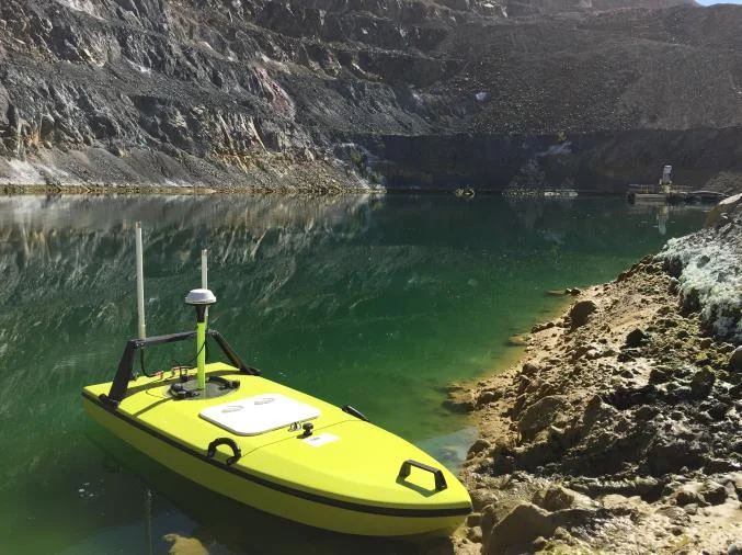
Surveying industrial water with single beam echo sounders and USVs: mine water, frac pits and effluent ponds
How single beam echo sounders and unmanned survey boats are used for industrial water management: reservoir volume, sludge and sediment, and regulatory reporting. Worked examples cover mine tailings storage facilities, frac pits and effluent lagoon dredging.
How single beam echo sounders and unmanned survey boats are used for industrial water management: reservoir volume, sludge and sediment, and regulatory reporting. Worked examples cover mine tailings storage facilities, frac pits and effluent lagoon dredging.
Read case history →
7 Dec 2020
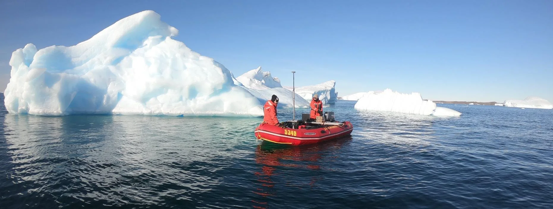
Surveying with the CEESCOPE™ in the coldest place on Earth
An Antarctic survey team completed bathymetry and side scan surveys around Davis Station with no mishaps or equipment problems, using a CEESCOPE™ and CEE-TSF™ StarFish side scan on a very small boat. The data helps assess a proposed concrete runway.
An Antarctic survey team completed bathymetry and side scan surveys around Davis Station with no mishaps or equipment problems, using a CEESCOPE™ and CEE-TSF™ StarFish side scan on a very small boat. The data helps assess a proposed concrete runway.
Read case history →