
Uncrewed Surface Vessel
CEE-USV™ M190
Hydrographic Survey
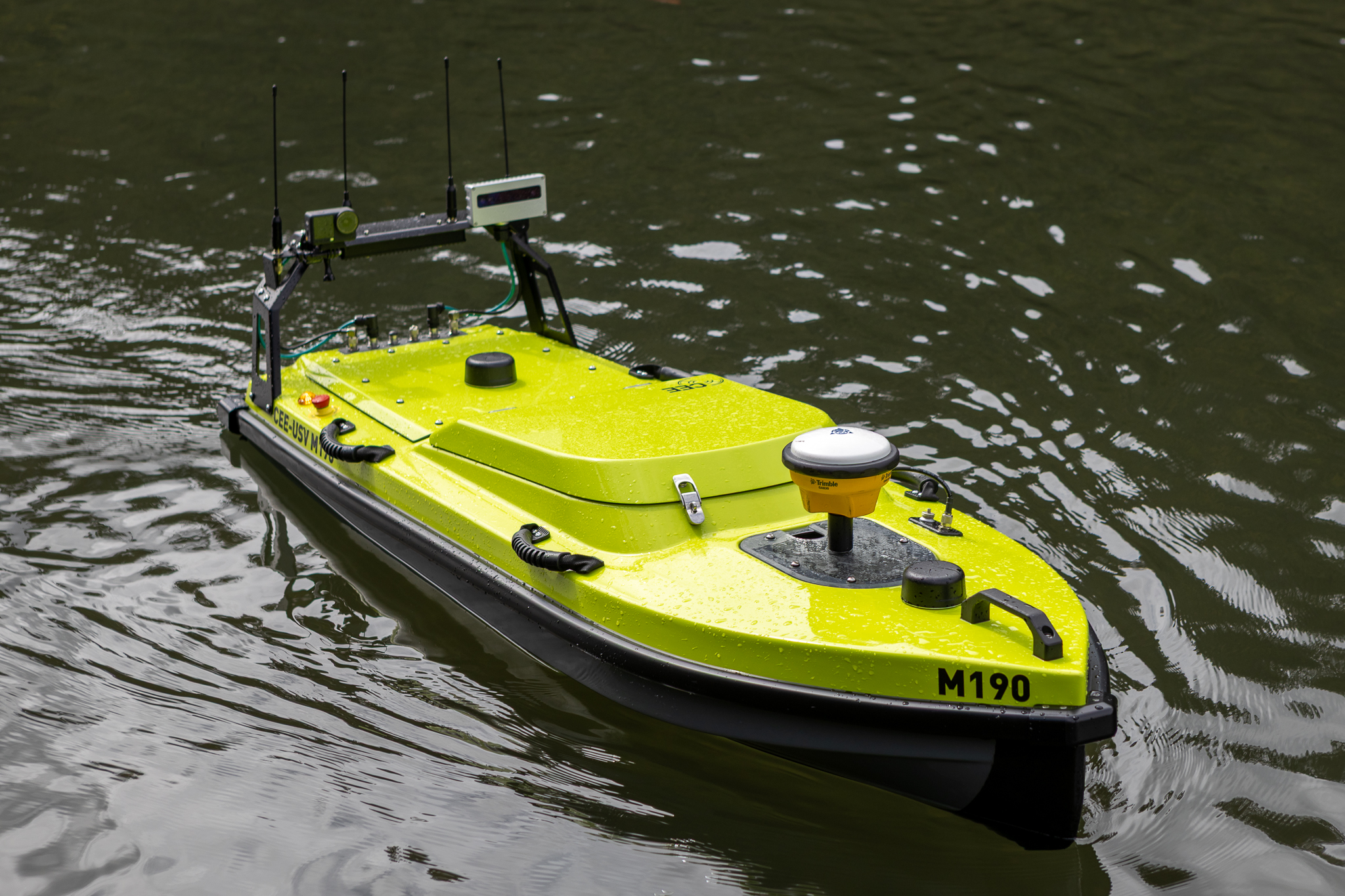
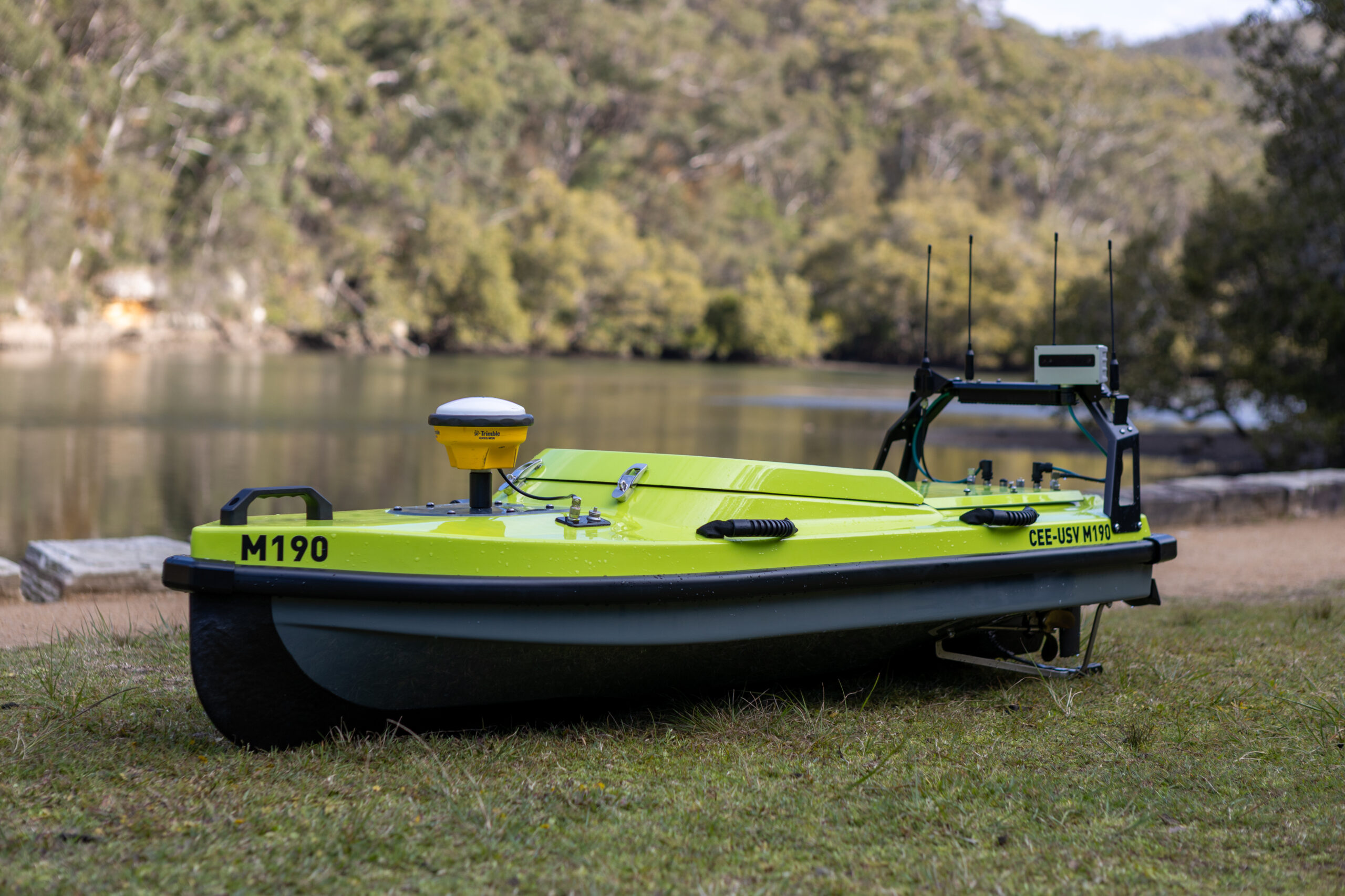
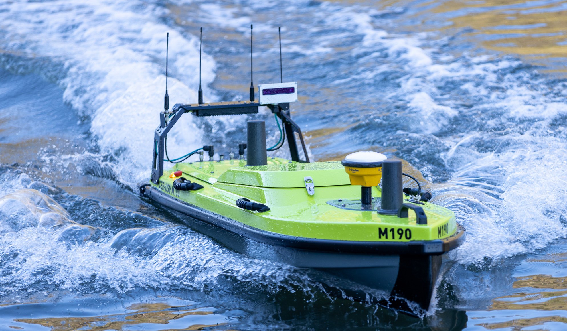
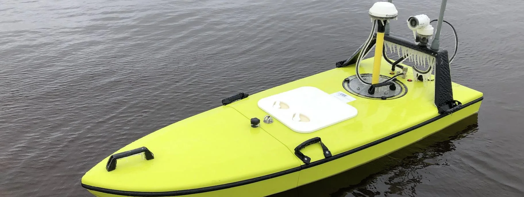
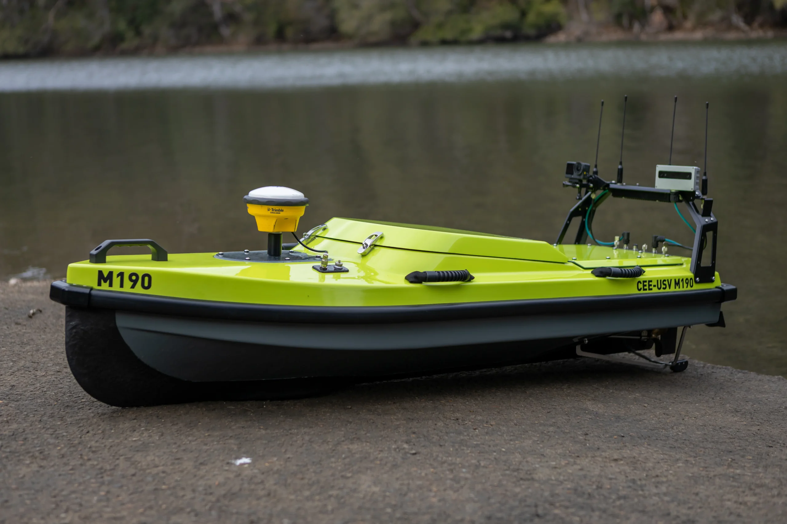
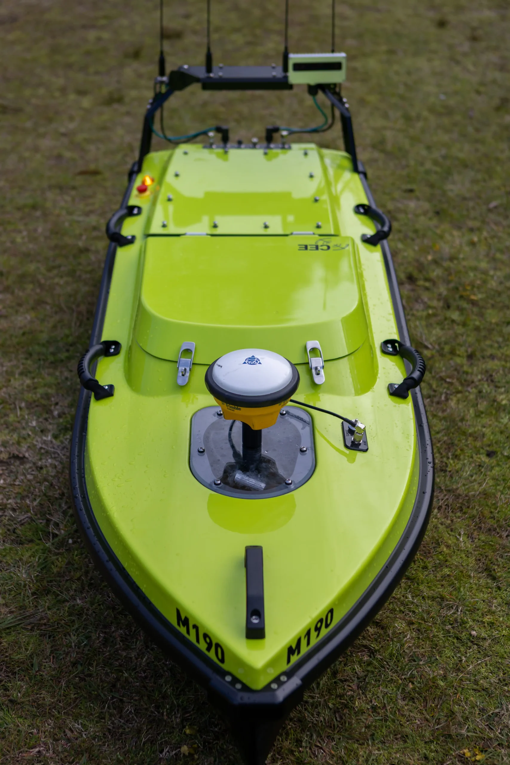
The Next Generation remotely-operated hydrographic survey boat with unmatched usability, exceptional design, survey-grade construction and high quality instrumentation.CEE-USV™ is a state of the art, high-performance survey boat incorporating a single beam echo sounder, GNSS positioning, live video, and on-board data management. A high bandwidth radio link to the dedicated CEE-LINK™ shore station allows the operator to see precise bathymetric survey results in real time.
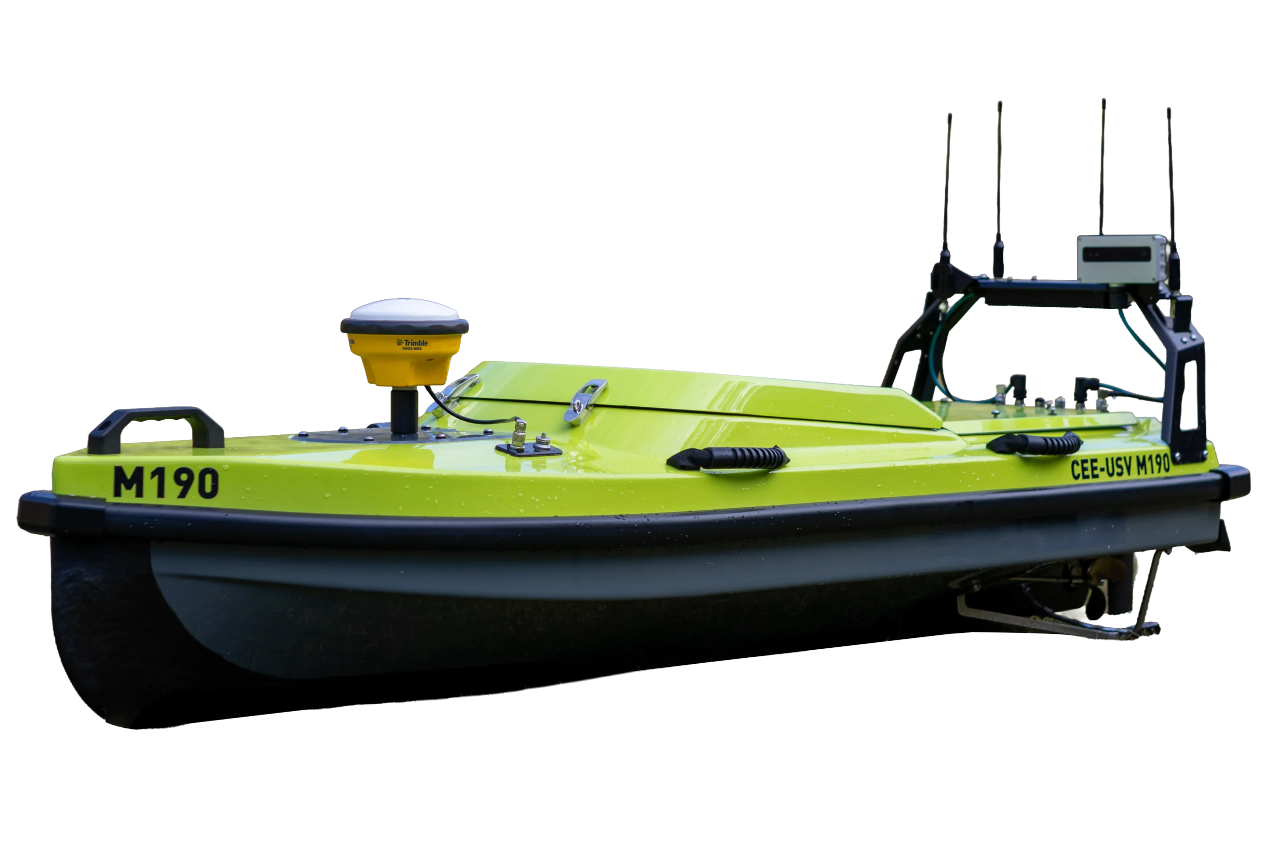
1.87 m
Length
3.5 m/s
Survey speed
40 kg
Dry weight
1296 Wh Swapable
Battery
2 km
Control range
Finish the survey sooner
Runs survey lines at 3.5 m/s and launches by hand, with no ramp, crane or trailer. Hot-swap batteries keep it working through the survey day.
12.6 km
line per hour
12 cm
along-track spacing
Built for years of service
An epoxy carbon fibre hull with twin motors, twin independent rudders and a backup autopilot, so no single failure ends the survey.
2 × 2
motors and rudders
40 kg
dry hull
Run the site from one spot
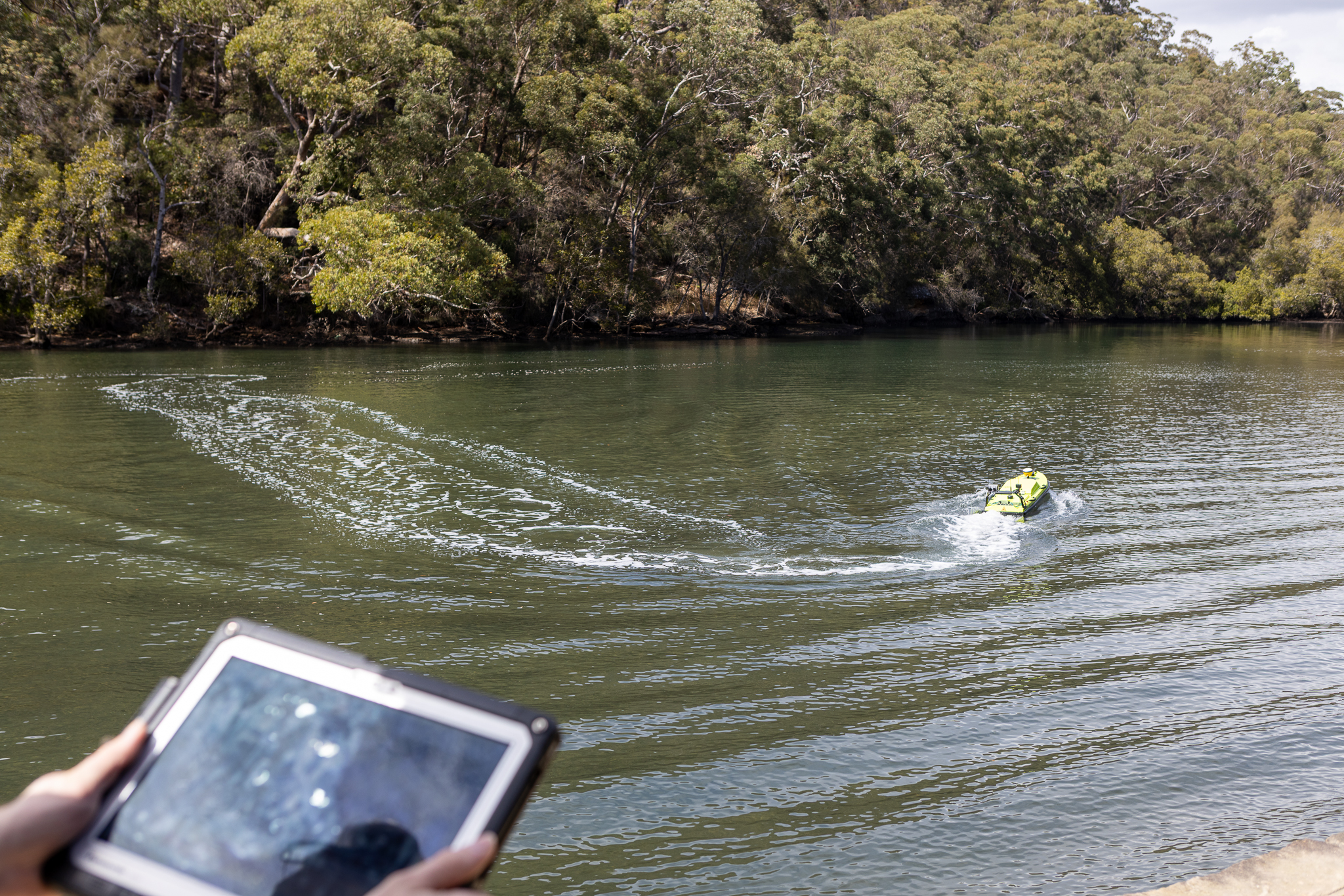
A mesh data radio carries depth, echogram, 4K video and control, with a separate long-range link as backup. Lose a link and the boat holds or returns home.
2 km
control range
2
radio links
One system, one supplier
A CEE echo sounder built in: depth and position time-stamped at the source, the full echogram streamed ashore and a complete backup logged on board.
3200
samples per ping
128 GB
on board
Applications
Survey from the shore.
Wherever putting a crew on the water is slow, unsafe or impossible, the M190 does the work from the bank.
Talk to us about your site →
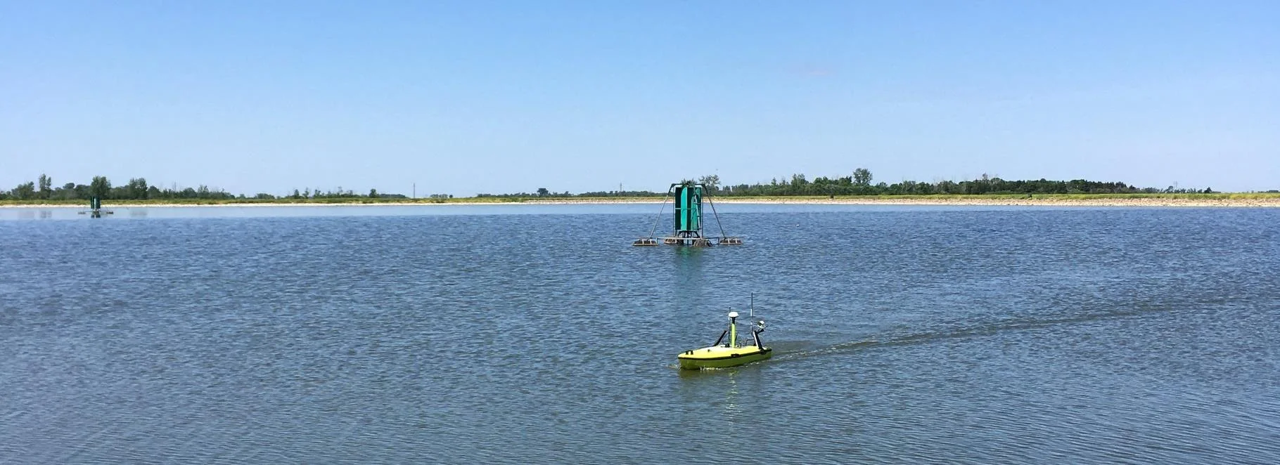
Industrial & effluent ponds
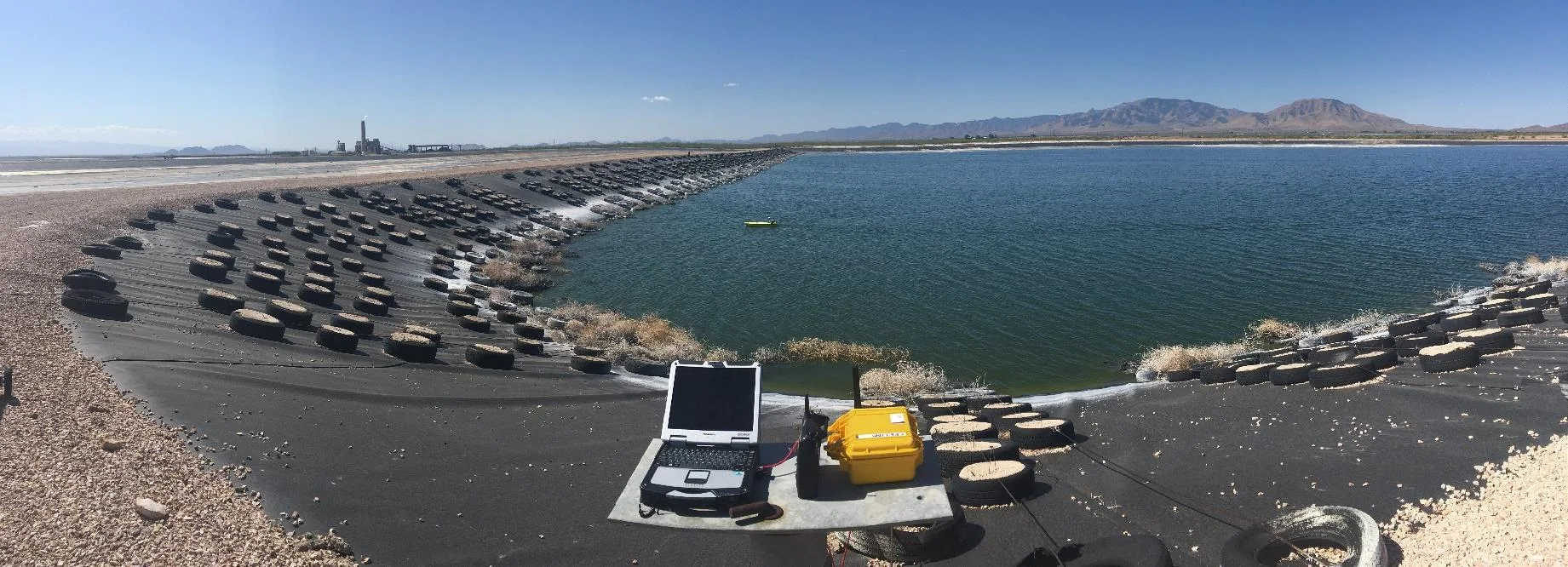
No crew on the water, no confined-space or contamination risk — the survey runs from the bank.
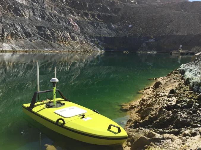
Mine tailings dams
Repeat surveys of the same grid, every time, for reliable volume change in the TSF.
Rivers & reservoirs
Cross sections and reservoir surveys from one position on the bank, up to 2 km out.
Sediment & dredging
Dual frequency shows the soft deposit and the hard bottom beneath in one pass.
Grid & repeat surveys
Plan once and the autopilot runs the same lines on every visit.
RTK bathymetry
Survey-grade GNSS/RTK with heading and IMU, straight into HYPACK®, Hydromagic or QINSy.
Case histories
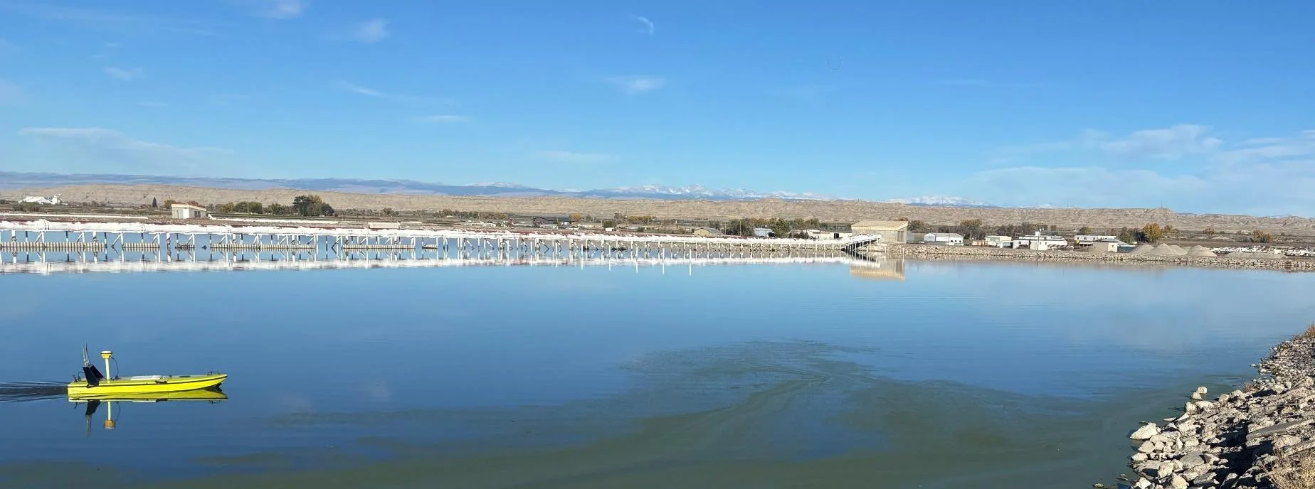
Proven on real surveys
Why the M190
Four reasons it earns its place on the job.
Every survey USV has an autopilot and an echo sounder. This is what the M190 does differently — and what it means for your survey.
01 / Time on the water
Finish the survey sooner
Time on the water is the biggest cost of a survey. The M190 runs lines at 3.5 m/s 12.6 km of survey lines an hour and at up to 30 Hz the echo sounder still lays down a sounding as close as every 12 cm along track.
Launch by hand — no ramp, crane or trailer
Hot-swap batteries without ending the survey day
Auto grids generated once, run to plan every visit
12.6 km
survey line per hour
12 cm
along-track spacing at 30 Hz
See the detail
Configure your system
Build your M190
Choose your echo sounder, then the data link and power.
1
Step 1 · Echo sounder
Choose your payload
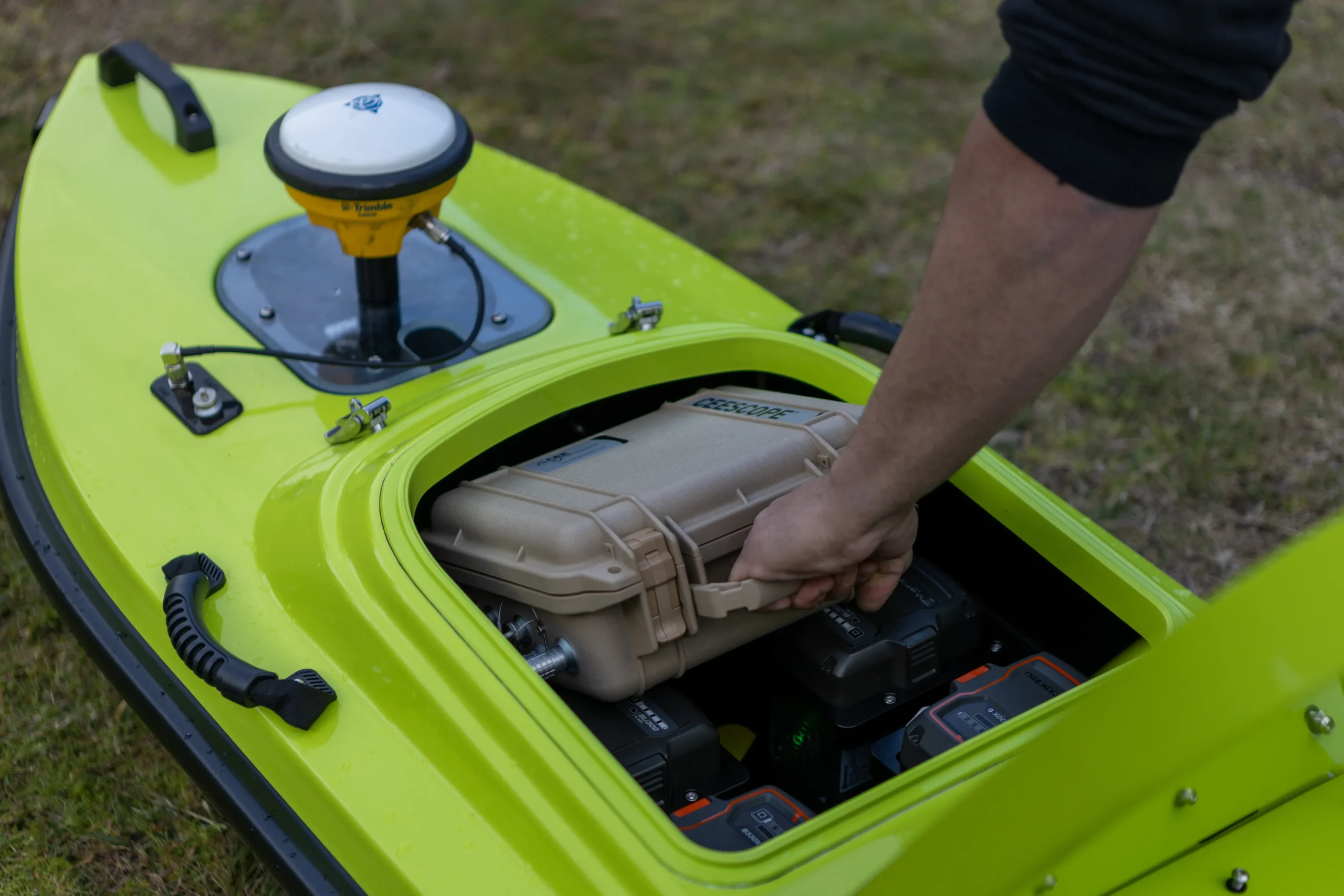
A CEE single beam echo sounder in the recessed wet well, with depth and echogram streamed ashore.
Available now
CEE ECHO™
Bring your GNSS
Positioning
On-board RTK GNSS, merged in the echo sounder
Frequency
200 kHz or dual frequency
Echogram
3200 spp full water column
Logging
128 GB on board
Full details
Available now
CEESCOPE™
GNSS built in
Positioning
Built-in GNSS, UHF or network RTK
Frequency
200 kHz or dual frequency
Echogram
3200 spp full water column
Logging
128 GB on board
Full details
Coming soon
CEE-LINE™
Compact option
Frequency
Dual 200 / 33 kHz, standard
Echogram
1600 samples per channel
Availability
Register your interest
Full details
2
Step 2 · Data link
Stay connected ashore
Two independent radio links: a mesh data radio for survey data and video, and a long-range control link as backup.
Standard
Mesh Rider
Data link
Radio
Doodle Labs Mesh Rider, 2.4 / 5 GHz
Carries
Depth, echogram, 4K video and control
Range
2 km ground to ground
Network
Any PoE device can join
Backup
ELRS control
Independent link
Link
Long-range RF (ELRS), dual frequency
Manual control
Handheld RC controller
Failsafe
Return-to-launch or loiter
Range
2 km ground to ground
3
Step 3 · Power
All-day power
Hot-swap packs keep the boat surveying — swap on the bank and carry on.
Standard
4 × Li-Ion
Hot-swap
Voltage
36 V
Capacity
1296 Wh (4 × 324 Wh)
Pack weight
1.9 kg each
Swapping
Hot-swap, without ending the day
On request
Other configurations
Talk to us
Options
Alternative battery configurations
Endurance
[add runtime per configuration]
Specifications
The numbers that matter
Headline specs below. Open the full list for the survey payload and ground control station.
Vessel platform
Hull design
Monohull
Material
Epoxy carbon fibre
Length
1.87 m (73.6″)
Beam
0.64 m (25.2″)
Height
0.40 m (0.445 m with skids)
Dry weight
≈40 kg excl. batteries; ≈61 kg with CEESCOPE™, 4 batteries and M195 transducer
Draft
0.2 m (7.9″)
Payload bay
Recessed wet well
Propulsion and power
Propulsion
2 × brushless DC motors
Steering
2 × independent servo rudders
Top speed
4 m/s (≈8 kn)
Survey speed
3.5 m/s (≈7 kn)
Batteries
4 × hot-swap Li-Ion (other configurations available)
Voltage
36 V
Capacity
1296 Wh (4 × 324 Wh)
Battery weight
1.9 kg each
Control and autonomy
Autopilot
ArduPilot + backup autopilot
Navigation
Waypoint and grid generation
Failsafe
Return-to-launch or loiter
Manual override
Handheld RC controller
Communications and data link
Telemetry
Wi-Fi + long-range RF (ELRS)
Default radio
Doodle Labs Mesh Rider 2.4 / 5 GHz
Data link
Any PoE device
Bandwidth
Real-time sonar, video and control
Redundancy
Dual-frequency RC backup
Control range
2 km ground to ground


White paper
How the CEE-USV™ Uses Exact Time-Stamped Data to Prevent Telemetry Errors
In order to maintain exceptional data quality with telemetered data when using the CEE-USV™ unmanned survey boat, the CEESCOPE LITE™ echo sounder applies a precise time tag to all data recorded internally and output to the shore over the radio. The results of a field test using the latest HYPACK® driver are shown.

White paper
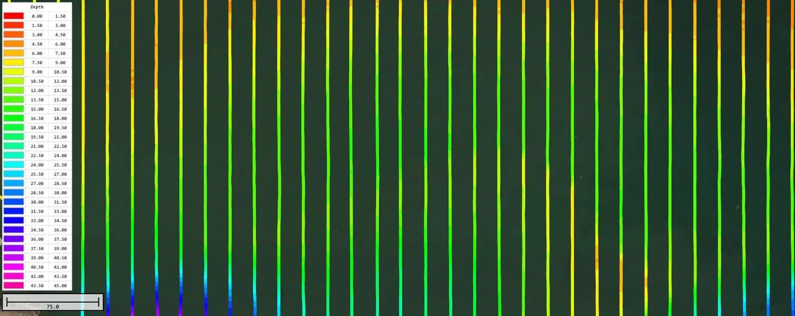
CUSTOMER PROJECT – Using a Dual Frequency CEE ECHO and a USV to Evaluate Mine Tailings Deposition
In addition to providing valuable water volume data for site water balance models and tailings storage facility (TSF) operations, using advanced echo sounder techniques may also provide insight into tailings deposition pattern and compaction processes. This paper as presented by Newfields LLC at the Tailings and Mine Waste 2016 conference in Keystone, CO, USA describes an unmanned survey vehicle approach to tailings dam bathymetry.
Request A Quote
Loading the quote form…