

Case histories › Case history
Case history
RTK CEESCOPE™ gives Mare Island Dry Dock one-day in-house sediment surveys
Mare Island Dry Dock fitted its new survey boat with an RTK CEESCOPE™ and HYPACK® to monitor sediment around its dry docks in-house. With California Real Time Network RTK corrections it gets a few-centimetre horizontal accuracy and survey results in one day, at an accuracy at least as good as paid third-party single beam surveys.

At a glance
- Client
- Mare Island Dry Dock (MIDD)
- Location
- Historic Mare Island Naval shipyard site near Vallejo, California, USA (near San Francisco)
- Application
- In-house sediment monitoring surveys around the dry docks and caissons
- Equipment
- RTK CEESCOPE™ on MIDD’s new survey boat
- GNSS and software
- California Real Time Network RTK corrections (NTRIP), HYPACK®
- Turnaround
- Precise hydrographic surveys in one day
About Mare Island Dry Dock
Grounding of a vessel leaving dry dock would be a disaster for the vessel operator and the dock owner. To prevent these events, dry dock operators diligently monitor sediment conditions around the docks.
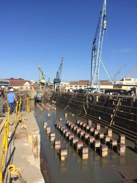
Near San Francisco, a historic Naval dockyard is home to Mare Island Dry Dock (MIDD). To maintain safe egress from the large dry docks at the Mare Island Dry Dock (MIDD) facility on the historic site of the Mare Island Naval shipyard near Vallejo California, the dock operators need to regularly monitor sedimentation around the docks and caissons.

The challenge
The docks are situated at the mouth of the 55-mile long Napa river, that drains the famous wine-growing region of California. Sediment buildup can be very rapid, with dredging needed on a regular basis to maintain adequate draft for the vessels moored alongside and brought in and out of the dry docks.
While MIDD bring in local survey contractors for periodic hydrographic surveys, they had no way to conduct opportunistic surveys – for instance within a brief time window when a ship leaves a berth. Additionally, with the need for continuous surveying comes associated costs for the surveys.
To improve flexibility and reduce long-term survey costs, the Mare Island site environmental team turned to CEE HydroSystems to help institute an in-house hydrographic program.
The solution
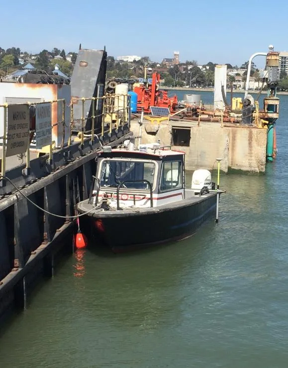
To obtain improved flexibility to conduct their own surveys whenever needed, MIDD fitted out their new survey boat with a CEESCOPE™ RTK system. The RTK CEESCOPE™ was selected to provide an easy-to-use hydrographic survey system for MIDD’s new survey launch, while at the same time the use of HYPACK® software and precise RTK corrections offered final survey accuracy at least as good as paid single beam surveys from third party contractors.
How the survey works
To allow precise correction of tide variation, and offer horizontal positioning accuracy of just a few centimeters, MIDD took advantage of a local California Real Time Network RTK reference station broadcasting NTRIP corrections over the internet.
With a cell phone or modem connected to the acquisition PC, HYPACK’s NTRIP caster provides a very convenient way to route RTK RTCM 3.x corrections to the CEESCOPE’s internal NovAtel 729 RTK GNSS. While all the survey data are output to the acquisition PC over a single Ethernet cable, the NTRIP corrections simply pass through the same cable back to the CEESCOPE; easy.
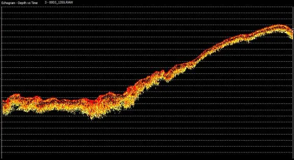
Sounding QC is available using the CEESCOPE’s full water column echogram viewed in HYPACK, and MIDD can use a nearby US Army Corps of Engineers tide benchmark for survey calibration, and local NGS control points for GNSS horizontal position checks. Final survey data may be easily referenced to the local tide datum using the VDATUM feature in HYPACK.
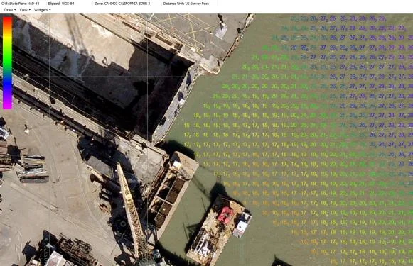
Sound velocity data are gathered using the Valeport SWiFT profiler with the capability of direct import to HYPACK.
The results
1 dayturnaround for precise hydrographic surveys
A few cmhorizontal positioning accuracy
≥ third partyfinal accuracy compared with paid single beam surveys
Avoiding complex and potentially time-consuming mobilization that might have been a feature of older-generation hydrographic equipment, MIDD can now obtain the bathymetry results needed in-house.
Using HYPACK allows data transferability between MIDD and their survey contractors, as well as access to the industry-leading HYPACK support.
Planning a similar survey?
Tell us about your site and we’ll recommend the right equipment.
Talk to us →
More from the field
6 Jan 2026
Trimble RTX for accurate wastewater sludge comparison surveys with the CEE-USV™
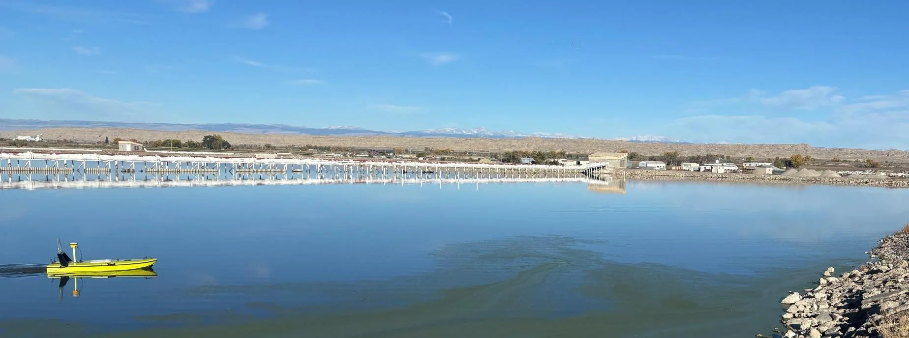
Team Lab monitors sludge in hundreds of wastewater lagoons with the CEE-USV™. Adding a CEESCOPE™ with Trimble CenterPoint® RTX in 2025 gave about 1 in (2.5 cm) vertical accuracy for the lagoon water level on every survey, so repeat surveys compare sludge volumes accurately without anyone going out on the water.
Team Lab monitors sludge in hundreds of wastewater lagoons with the CEE-USV™. Adding a CEESCOPE™ with Trimble CenterPoint® RTX in 2025 gave about 1 in (2.5 cm) vertical accuracy for the lagoon water level on every survey, so repeat surveys compare sludge volumes accurately without anyone going out on the water.
Read case history →
17 Sep 2023
Surveying industrial water with single beam echo sounders and USVs: mine water, frac pits and effluent ponds
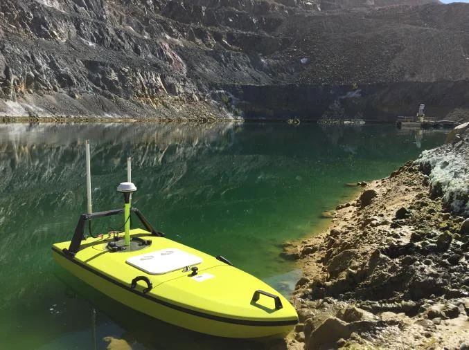
How single beam echo sounders and unmanned survey boats are used for industrial water management: reservoir volume, sludge and sediment, and regulatory reporting. Worked examples cover mine tailings storage facilities, frac pits and effluent lagoon dredging.
How single beam echo sounders and unmanned survey boats are used for industrial water management: reservoir volume, sludge and sediment, and regulatory reporting. Worked examples cover mine tailings storage facilities, frac pits and effluent lagoon dredging.
Read case history →
7 Dec 2020
Surveying with the CEESCOPE™ in the coldest place on Earth
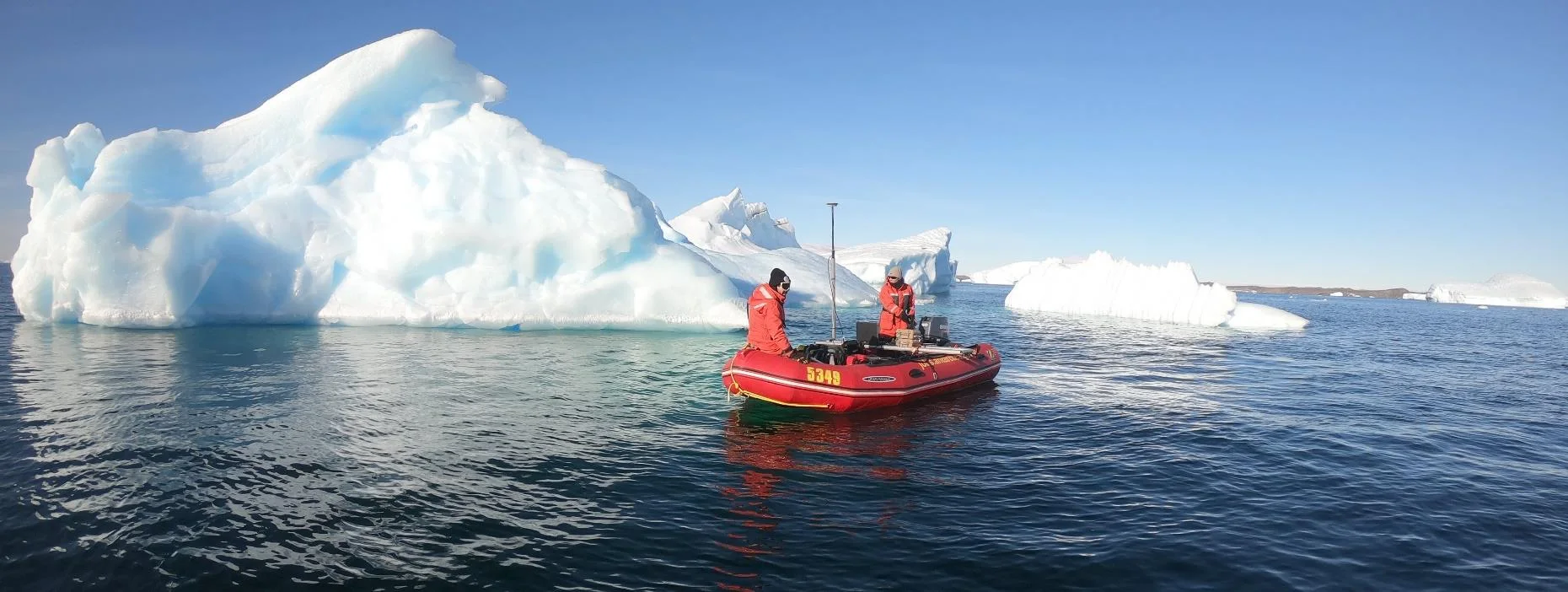
An Antarctic survey team completed bathymetry and side scan surveys around Davis Station with no mishaps or equipment problems, using a CEESCOPE™ and CEE-TSF™ StarFish side scan on a very small boat. The data helps assess a proposed concrete runway.
An Antarctic survey team completed bathymetry and side scan surveys around Davis Station with no mishaps or equipment problems, using a CEESCOPE™ and CEE-TSF™ StarFish side scan on a very small boat. The data helps assess a proposed concrete runway.
Read case history →