

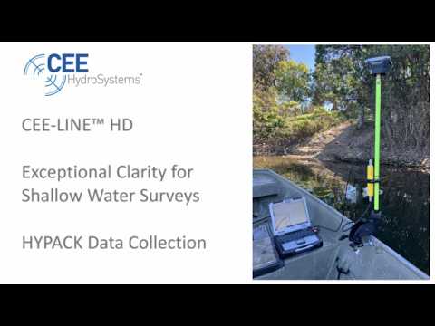
CEE-LINE™ HD with HYPACK Exceptional Clarity for Shallow Water Surveys
The CEE-LINE™ HD in operation testing the new 2026 HYPACK driver. With a 20Hz digital echogram on high and low frequency channels the CEE-LINE™ delivers professional
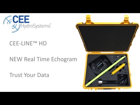
Watch Astonishing CEE-LINE™ Detail in High Definition
The latest CEE-LINE™ offers an exceptionally detailed water column echogram for single or dual frequency. Ideal for data collectors and tablet PCs, the CEE-LINE™ offers a
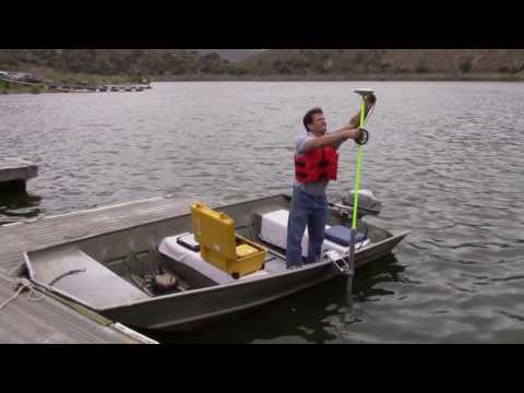
Ultimate Convenience: Setting up the RTK CEESCOPE™
There is no faster and easier way to mobilize for high quality, small boat hydrographic surveys – shown here in 4X motion. With the complete survey
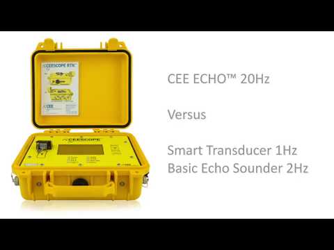
CEE ECHO™ and CEESCOPE™ versus Basic Echo Sounder: Get the Full Picture
For any survey environment, it is important to have adequate quality control data to have confidence that reported soundings are accurate. For areas with sub aquatic
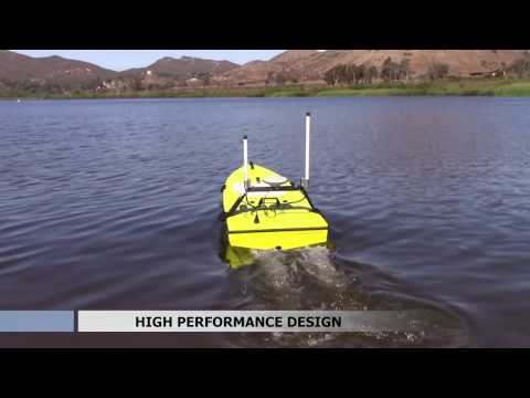
CEE-USV™ – Next Generation Unmanned Survey Boat
The CEE-USV™ demonstration video introduces the remotely-operated hydrographic survey boat that is a genuine field survey tool and not a science project. Minimize mobilization time, eliminate
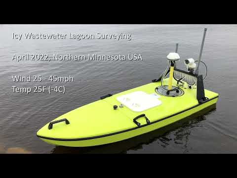
CEE-USV™ – Unseasonal Wastewater Surveying in Northern Minnesota, USA
The CEE-USV™ in action early in the survey season. With winds of 25mph gusting to 45mph and sub-zero temperatures, ice immediately formed on all the equipment.
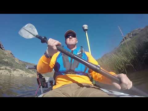
CEE-LINE™ – California Lake Survey with Trimble GNSS
Land survey firm GIS Surveyors Inc used the CEE-LINE™ echo sounder combined with a Trimble R10 RTK GNSS and Trimble TSC3 data collector to complete a
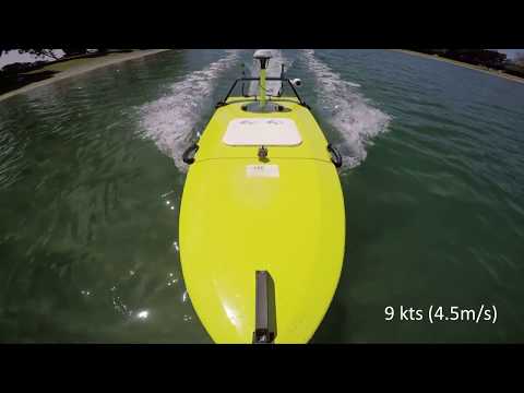
CEE-USV™ – Up Close and Underwater
The CEE-USV™ is shown from unique GoPro underwater views, highlighting the powerful dual motor / dual rudder design. Meanwhile, HYPACK acquisition software collects precise shallow-water bathymetry
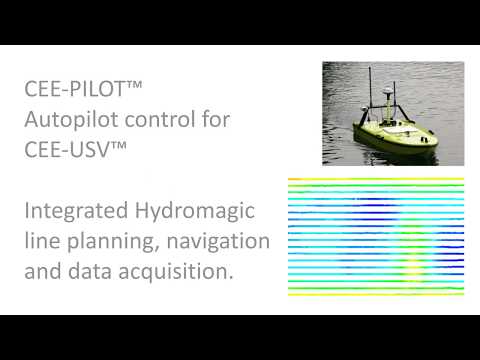
CEE-USV™ – Amazing 10ft (3m) Spacing for Survey Lines with CEE-PILOT™ Navigation System
Try this with a manned boat or manual RC control! The CEE-USV™ is able to execute unbelievably precise survey lines thanks to the autonomous waypoint system
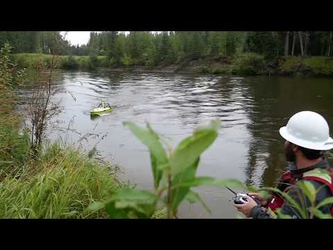
CEE-USV™ – On the Trans Alaska Pipeline System (TAPS)
Surveying crude oil pipeline river crossings is a perfect application for a high performance USV such as the CEE-USV™. With enough power to handle high velocity
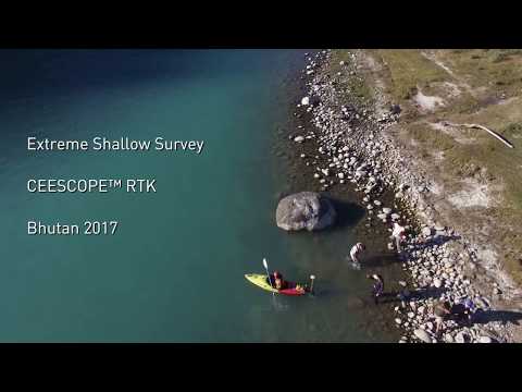
Amazing Shallow Water Kayak CEESCOPE™ Surveys – Bhutan 2017
How waterproof is your echo sounder? Here the CEESCOPE™ RTK is used to survey extremely shallow water with very challenging conditions. Watch the Bhutanese surveyors conduct
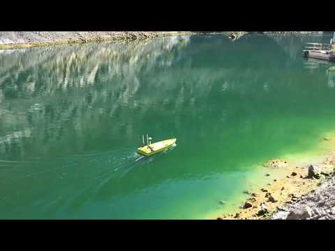
CEE-USV™ – Tailings Pond and Acid Leach Pad Surveying
At a mine site in Arizona, USA the CEE-USV™ was in action performing bathymetry surveys to determine water volumes for site water balance modeling. With the
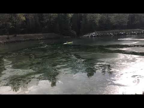
CEE-USV™ – Icebreaking in Canada
At an industrial site in British Columbia, Canada, surveyors were in action right until the end of the survey season. The CEE-USV™ was called on to
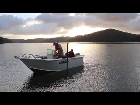
CEE HydroSystems – Hydrographic Survey Experts
The compact and waterproof hydrographic survey equipment from CEE HydroSystems is used on shallow water survey boats, inshore Jon boats, jet skis, and remotely-operated survey boats
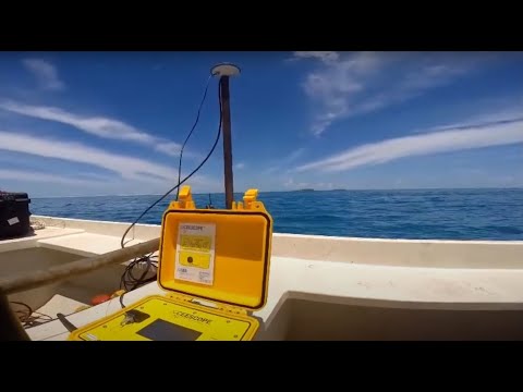
Dredging Survey in the Maldives
The dual frequency CEESCOPE™ 33/200 kHz is used on a small boat shallow water survey for a hydrographic sand survey as part of a dredging project.