

Knowledge base › Survey guide
Survey guide
Why do time stamps matter in echo sounder data?
Most echo sounders are timed by when their data reaches the PC, which adds latency you have to measure and correct, and which varies. The CEESCOPE™ and CEE ECHO™ stamp every sounding and position with GNSS time at the source, so software places each sounding where it was actually measured. That matters most when data is sent over radio from a USV, where delays would otherwise be impossible to correct.
ms time stamp precision
1PPS CEESCOPE™ timing
ZDA CEE ECHO™ timing
2–8 kn USV test speeds
What’s the problem with timing?
On a moving boat, GNSS updates and echo sounder pings don’t happen at exactly the same moment, so software interpolates each sounding’s position between GNSS updates. Many echo sounders have no GNSS input and so no time information: each sounding gets the time its data reaches the PC, which may differ from when it was measured. GNSS data arrives through a separate interface with its own delays, and the two are combined in mapping.
- The system latency has to be measured and entered in the acquisition software, a laborious test running reciprocal lines over a steep slope.
- Latency between GNSS and echo sounder is usually consistent on a given day, varying with the constellation and correction type.
- The PC adds a second layer of latency that usually isn’t constant, so it’s harder to remove.
How do the CEESCOPE™ and CEE ECHO™ solve it?
They merge GNSS and depth data inside the echo sounder and put a precise time stamp on every data point, at the source, not at the PC, before sending it out over any of their connections:
- The CEESCOPE™ uses the GNSS ZDA message plus 1PPS for ultra-precise millisecond timing.
- The CEE ECHO™ uses precise GNSS message (ZDA) timing.
Software designed for this data, such as HYPACK® and Hydromagic with the CEE drivers or plugins, uses the stamp for all calculations instead of PC time. That removes variations from network buffering or other processes on the PC. See which HYPACK® drivers to use.
Why does it matter so much for USVs?
A remotely operated USV can either record on a computer on board (perhaps with Remote Desktop to shore), which adds cost, complexity and downtime risk, or send data to the shore PC in real time. Real-time telemetry can put soundings in the wrong place through latency and buffering, and those errors can’t be fixed in post-processing.
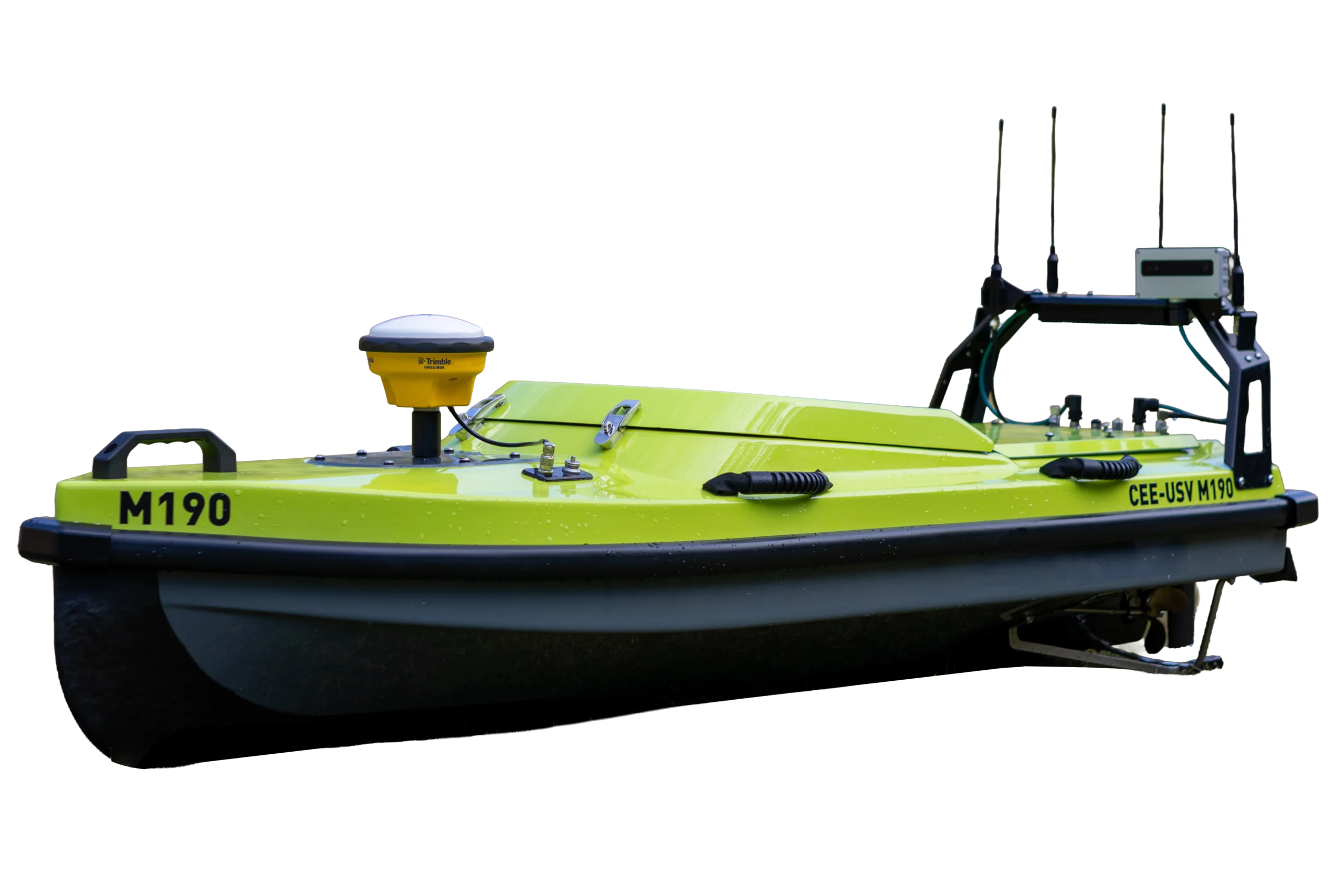
The CEE-USV™ uses the echo sounder’s time stamps, so it can use simple radio telemetry without losing data quality. As data arrives on shore, each packet keeps its original collection time and the arrival time is ignored. Telemetry delays may still happen, but they don’t affect the recorded data. On a manned boat with a LAN cable the risk is low; for telemetered unmanned surveys, time stamps are crucial.
The echo sounder also records everything internally (including raw GNSS pseudorange data and the echogram), so you don’t need a PC on board, and the RAW and BIN files import directly into HYPACK® or Hydromagic.
Does telemetry change the result? A test
A test feature in a pond (a small pipe outlet with a sand bar opposite, about 5 m wide and 12 m long, or 15 × 40 ft) was surveyed with the original CEE-USV™ and its CEESCOPE LITE™, using a 200 kHz SS510 transducer (9° beam) and the internal Hemisphere Crescent DGPS with SBAS (WAAS) for metre-level accuracy. Dynamic draft and small attitude changes weren’t removed.
- Data was sent over a standard Wi-Fi link to HYPACK® on a shore laptop, and recorded on the CEESCOPE™ at the same time.
- The USV ran at 2 to 8 knots to show any speed-dependent errors.
- Afterwards the internal data was imported into the same HYPACK® project as the real-time data.
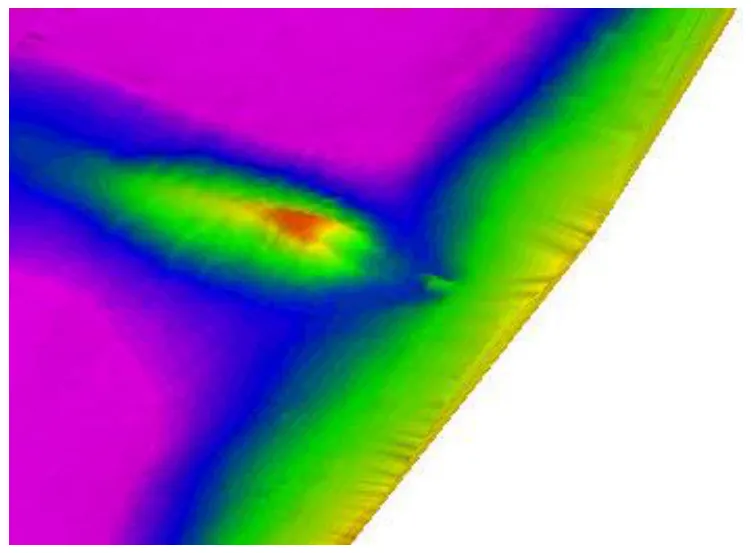
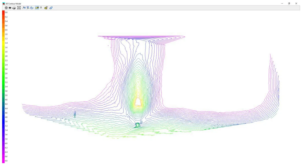
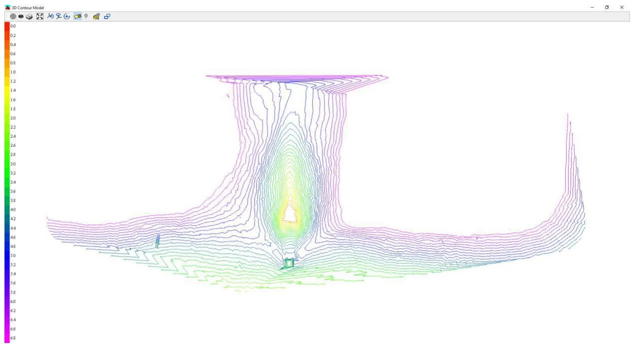
Result: the two models are essentially identical, so telemetry had no effect on the survey product. It confirms the software driver handles the CEE data correctly, and shows the repeatability and shallow water performance of the CEESCOPE™ on the USV.
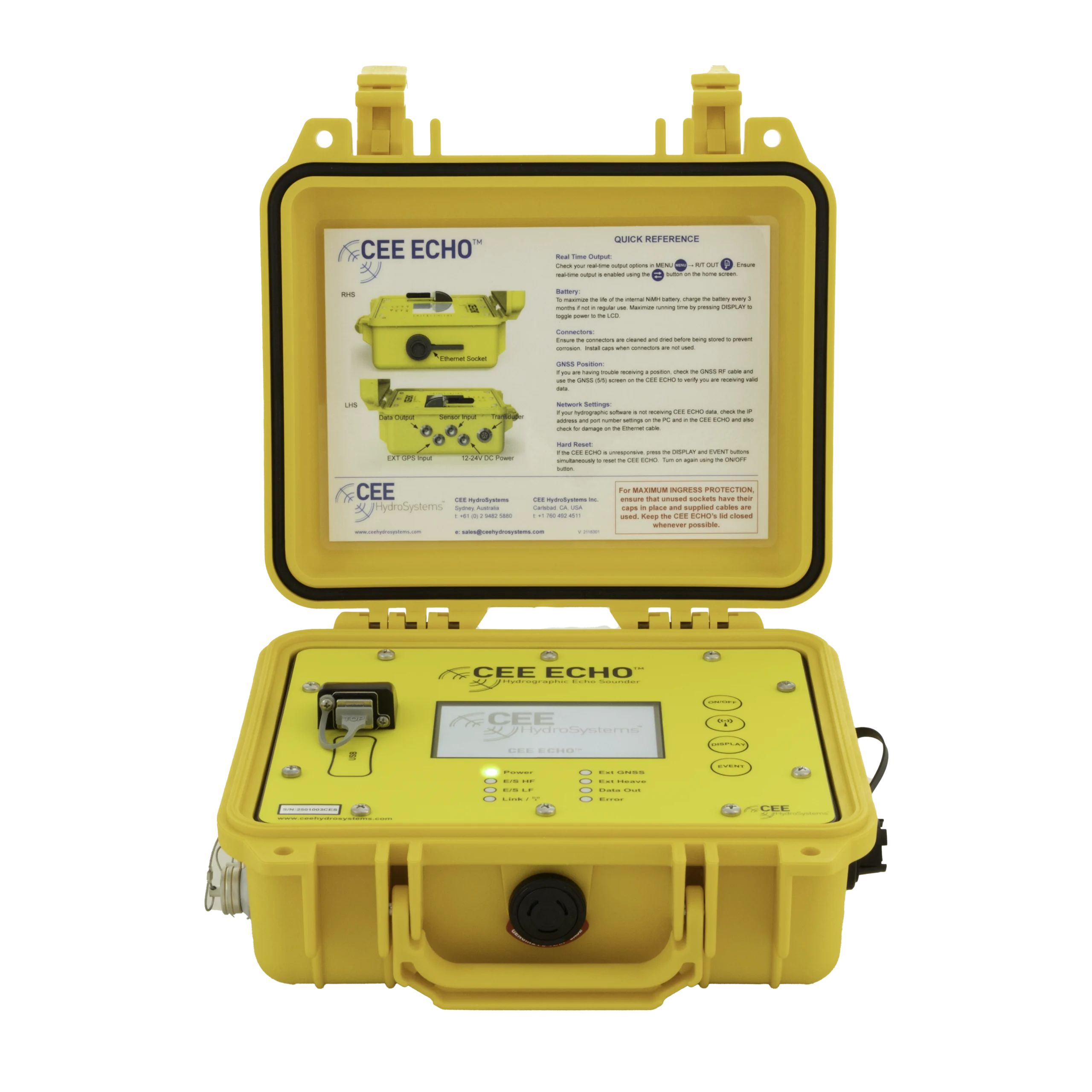
Equipment used

Talk to US
Need a hand with your set-up?
Our engineers answer survey questions every day.