

Case histories › Case history
Case history
CEE-USV™ deployed for Detroit Lake marina surveys for Statewide Land Surveying
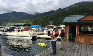
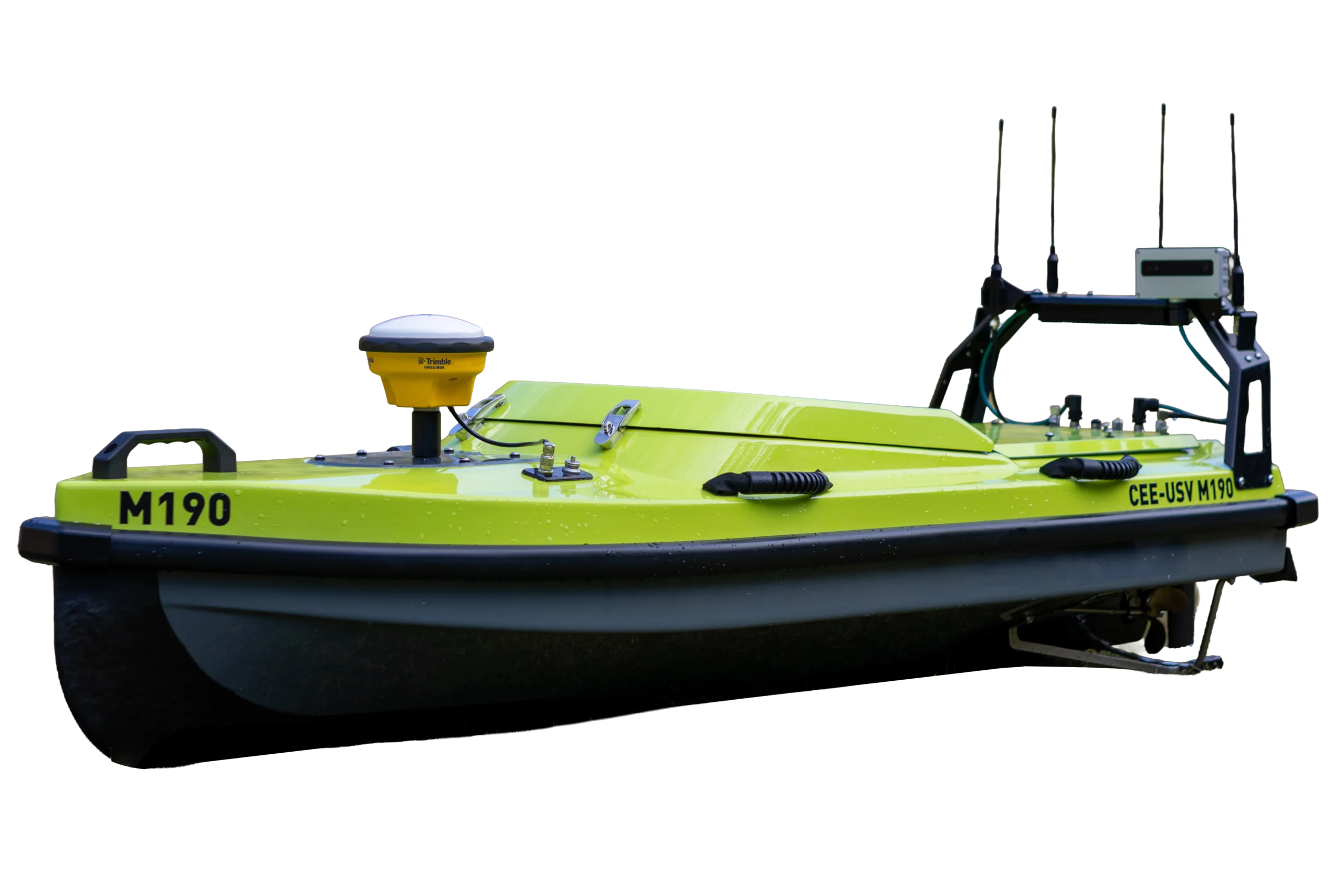
Statewide Land Surveying used its new CEE-USV™ to survey two Detroit Lake, Oregon marinas before dredging. The drone boat wove between hundreds of moored boats where a manned boat could not match the survey quality, while the team watched data from shore on a CEE LINK™ base station.
At a glance
- Client
- Statewide Land Surveying
- Location
- Detroit Lake, Oregon, USA
- Application
- Pre-dredge bathymetry survey of two marinas
- Equipment
- CEE-USV™ single beam hydrographic survey drone boat, CEE LINK™ base station
- GNSS and software
- Trimble R8 base station and rover (R8 or R10 receivers supported), Eye4Software Hydromagic
- Program
- Statewide’s unmanned vehicle surveying program
About Statewide Land Surveying
Statewide Land Surveying, Oregon USA expanded its unmanned survey capabilities with the CEE-USV™ single beam hydrographic survey drone boat. The first survey conducted was at Detroit Lake, OR, where two marinas were surveyed for a dredging project.
The challenge
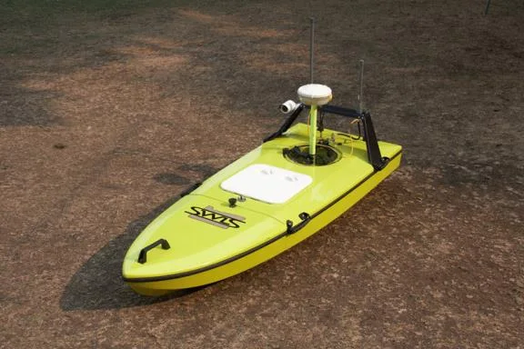
As part of its unmanned vehicle surveying program, Statewide’s new CEE-USV™ was in action performing a pre-dredge survey at Detroit Lake. The marinas hold hundreds of moored boats, and a regular manned survey boat would have made it difficult or impossible to achieve the same survey quality in such confined spaces.
The job showed the flexibility of the CEE-USV™ for shallow water restricted-access bathymetry surveys.
The solution
Able to weave between the hundreds of moored boats in the marinas, the CEE-USV™ was the perfect way to maximize single beam echo sounder coverage in the confined spaces of the survey.
Local control was provided using a Trimble R8 GNSS base station with UHF radio, and a Trimble R8 rover was used on the USV. While the CEE-USV™ was supplied with a Hemisphere Eclipse GNSS receiver capable of submeter to decimeter level performance, Statewide’s configuration allowed for cabled or Bluetooth GNSS data input to the USV from their Trimble R8 or R10 precision receivers as the primary source of high quality centimeter-grade position and elevation for their surveys.
Surveying the first marina
The first marina afforded a convenient boat launch close to the survey location, with a convenient base for operations. Sound velocity and calibration bar checks were performed at the dock side.
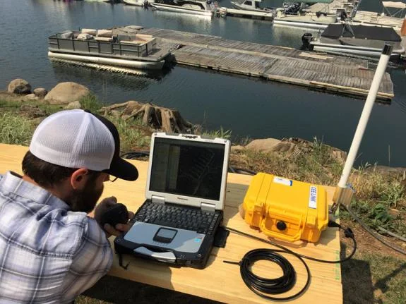
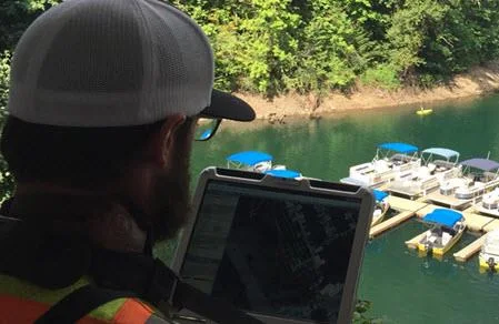
The shore station offered remote viewing of the data while the operator on the dock was driving the boat along the survey pattern, separately connected to the CEE-USV™ with a second field acquisition PC.
The network radio system used in the CEE-USV™ allows multiple users to connect at the same time and view or acquire the same data, as easy as connecting to a coffee shop wireless network!
The dedicated CEE LINK™ base station includes a high-power radio to receive data even if the vehicle is located behind obstructions, in this case moored boats. Real time review of sounding quality happens throughout data acquisition, in this case using Eye4Software Hydromagic.
Moving to the second marina
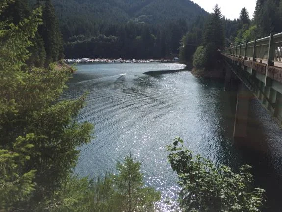
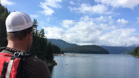
Moving to the second marina required the USV to be driven in down the lake. Fortunately, a highway bridge between the two marinas allowed the operator to relocate the drone vessel without needing to use the on-board camera.
With a high vantage point, much of the second marina could be surveyed from the shore observation and control location.

The results
2marinas surveyed for the dredging project
Hundredsof moored boats navigated by the CEE-USV™
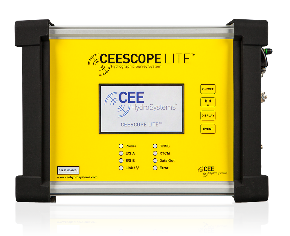
When the boat survey was completed, the CEESCOPE-LITE™ echo sounder was removed from the USV and single point “fill in” soundings were taken from the docks to complete the pre-dredge survey.
The CEE-USV™ will be back at Detroit for the post-dredge survey.
Planning a similar survey?
Tell us about your site and we’ll recommend the right equipment.
Talk to us →
More from the field
6 Jan 2026
Trimble RTX for accurate wastewater sludge comparison surveys with the CEE-USV™
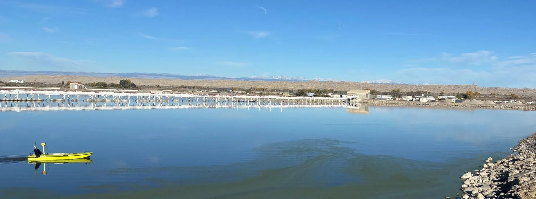
Team Lab monitors sludge in hundreds of wastewater lagoons with the CEE-USV™. Adding a CEESCOPE™ with Trimble CenterPoint® RTX in 2025 gave about 1 in (2.5 cm) vertical accuracy for the lagoon water level on every survey, so repeat surveys compare sludge volumes accurately without anyone going out on the water.
Team Lab monitors sludge in hundreds of wastewater lagoons with the CEE-USV™. Adding a CEESCOPE™ with Trimble CenterPoint® RTX in 2025 gave about 1 in (2.5 cm) vertical accuracy for the lagoon water level on every survey, so repeat surveys compare sludge volumes accurately without anyone going out on the water.
Read case history →
17 Sep 2023
Surveying industrial water with single beam echo sounders and USVs: mine water, frac pits and effluent ponds
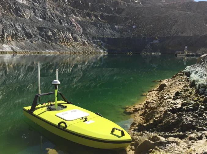
How single beam echo sounders and unmanned survey boats are used for industrial water management: reservoir volume, sludge and sediment, and regulatory reporting. Worked examples cover mine tailings storage facilities, frac pits and effluent lagoon dredging.
How single beam echo sounders and unmanned survey boats are used for industrial water management: reservoir volume, sludge and sediment, and regulatory reporting. Worked examples cover mine tailings storage facilities, frac pits and effluent lagoon dredging.
Read case history →
29 Apr 2022
CEE-USV™ surveys a wastewater lagoon in 45 mph winds and sub-zero temperatures
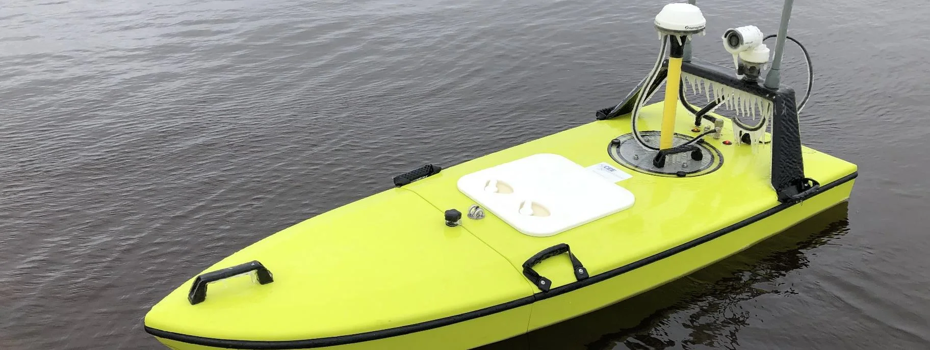
Midwest Planning LLC ran a CEE-USV™ survey of a Minnesota wastewater lagoon in late April, in 45 mph gusts and sub-zero temperatures, with the surveyor operating from a warm truck. Ice on the antennas caused some data drop-outs, but the on-board CEESCOPE LITE™ logged everything, so any gaps could be filled in Hydromagic.
Midwest Planning LLC ran a CEE-USV™ survey of a Minnesota wastewater lagoon in late April, in 45 mph gusts and sub-zero temperatures, with the surveyor operating from a warm truck. Ice on the antennas caused some data drop-outs, but the on-board CEESCOPE LITE™ logged everything, so any gaps could be filled in Hydromagic.
Read case history →