

Case histories › Case history
Case history
CEE-LINE™ with Trimble R10 used for Lake Eleanor dam survey from a kayak
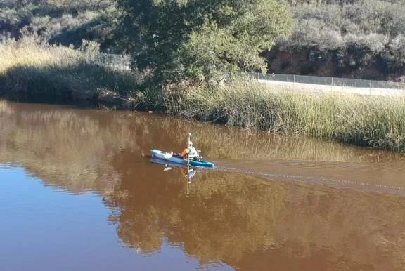
GIS Surveyors surveyed the 8.2 acre Lake Eleanor reservoir from a kayak with a CEE-LINE™, Trimble R10 and TSC3, with no extra mobilization or setup time. Data went to Civil 3D for contours and a volume calculation, and the client was very happy with the results.
Equipment used
At a glance
- Client
- GIS Surveyors, Inc. (GSi)
- Location
- Lake Eleanor, Thousand Oaks, California, USA
- Application
- Topographic and hydrographic survey of a reservoir for inundation mapping and an Emergency Action Plan
- Equipment
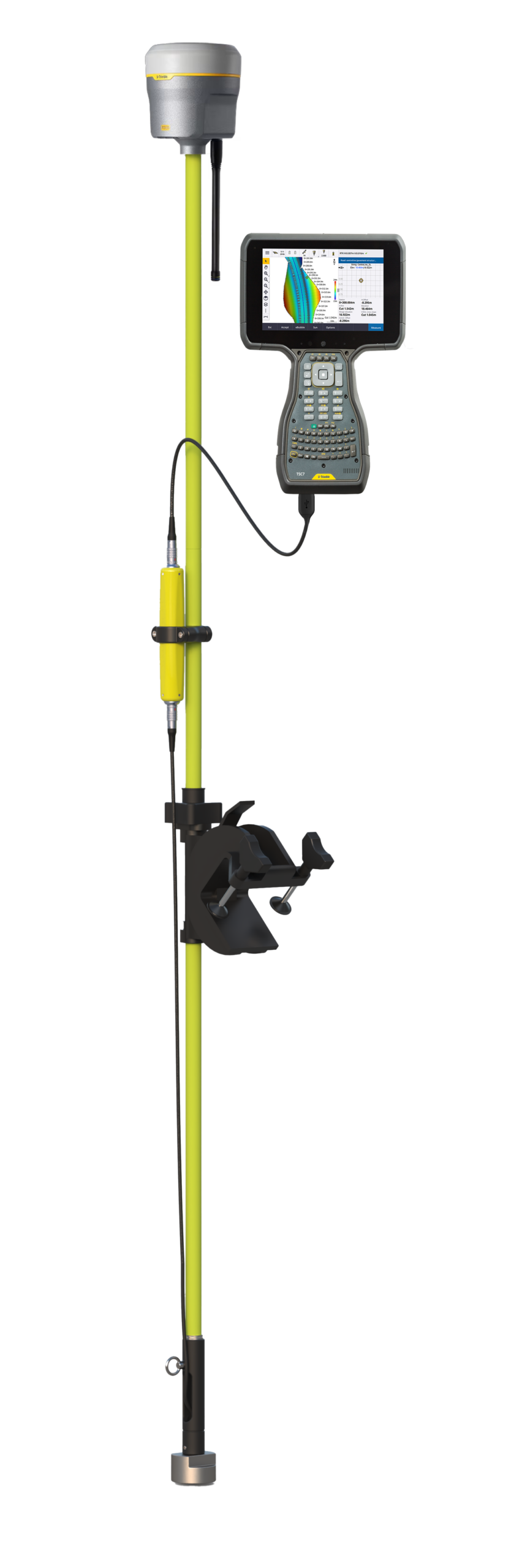
- CEE-LINE™ single beam echo sounder, kayak-mounted
- GNSS and software
- Trimble R10 GNSS, Trimble TSC3 data collector, Civil 3D
- Survey date
- January 2019
About the project
In January 2019, GIS Surveyors, Inc. (GSi) was contracted to perform a topographic and hydrographic survey of Lake Eleanor in Thousand Oaks, CA, to enable inundation mapping and to develop an Emergency Action Plan.
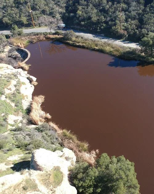
Lake Eleanor Dam was constructed in 1881 to provide water for irrigation. It is a concrete arch, approximately 37 feet high and 140 feet long. The surface area of the reservoir is approximated at 8.2 acres, and the dam has been classified as a “high” hazard due to downstream potential if the dam were to fail.
The challenge
GSi was tasked with quantifying current reservoir capacity using the most cost-effective methodology available while maintaining data integrity and accuracy.
Approaching Lake Eleanor is difficult, with only a 3-foot wide gate providing access to the top of the dam. There was no way to easily launch a traditional survey vessel at the site.
The solution
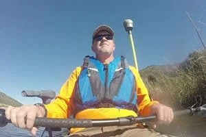
GSi determined that a kayak would be the best way to survey the lake. For the echo sounder, it determined that the CEE-LINE™ single beam echo sounder, coupled with a Trimble R10 GNSS system and TSC3 data collector, would provide an accurate and reliable hydrographic solution without any additional mobilization or setup time while resolving the lake’s access issues.
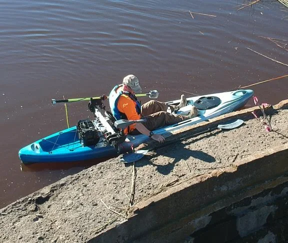
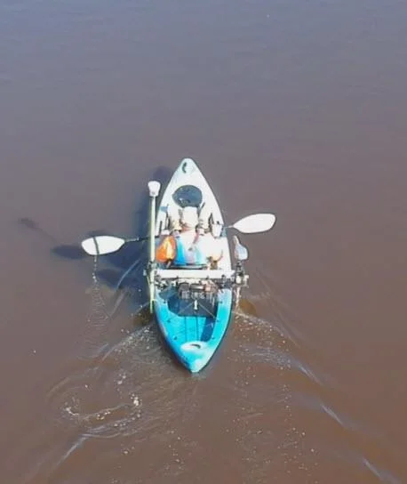
The CEE-LINE was pole-mounted on the port side of the kayak just aft of the seating position. A trolling motor was mounted to the same cross-brace on the starboard side, providing balance to the vessel and extra power to reduce rolling movement.
The echo sounder was connected to the TSC3 and stowed while the data collector was storing data points in continuous mode.
How the survey was run
Survey lines were run at regular intervals throughout the extents of the lake. Additionally, topographic survey shots were collected around the edges of the lake to determine lateral lake extents and water level elevations.
To determine raw lake depths, the elevations collected by the sonar system were subtracted from the lake water level elevation. Resulting data were exported to Civil 3D, where contours and planimetrics were created to generate a comprehensive map of the survey area. Lake surface area and volume was calculated per client request.

The results
8.2 acresreservoir surface area surveyed
3 ftwide gate was the only access to the dam
37 fthigh, 140 ft long concrete arch dam (built 1881)
GIS hydrographic specialist and Survey Operations Manager Marshall Blackbourn summarized the CEE-LINE survey.
“Ultimately the client was very happy not only with the results of the survey, but with the methodology used to complete the survey in less than optimal conditions. The CEE-LINE echosounder proved to be a robust and reliable solution for this remote reservoir survey, and it will certainly be implemented again for similar surveys in the future.”
Marshall Blackbourn, GIS Hydrographic Specialist and Survey Operations Manager, GIS Surveyors, Inc.
Planning a similar survey?
Tell us about your site and we’ll recommend the right equipment.
Talk to us →
More from the field
10 Dec 2025
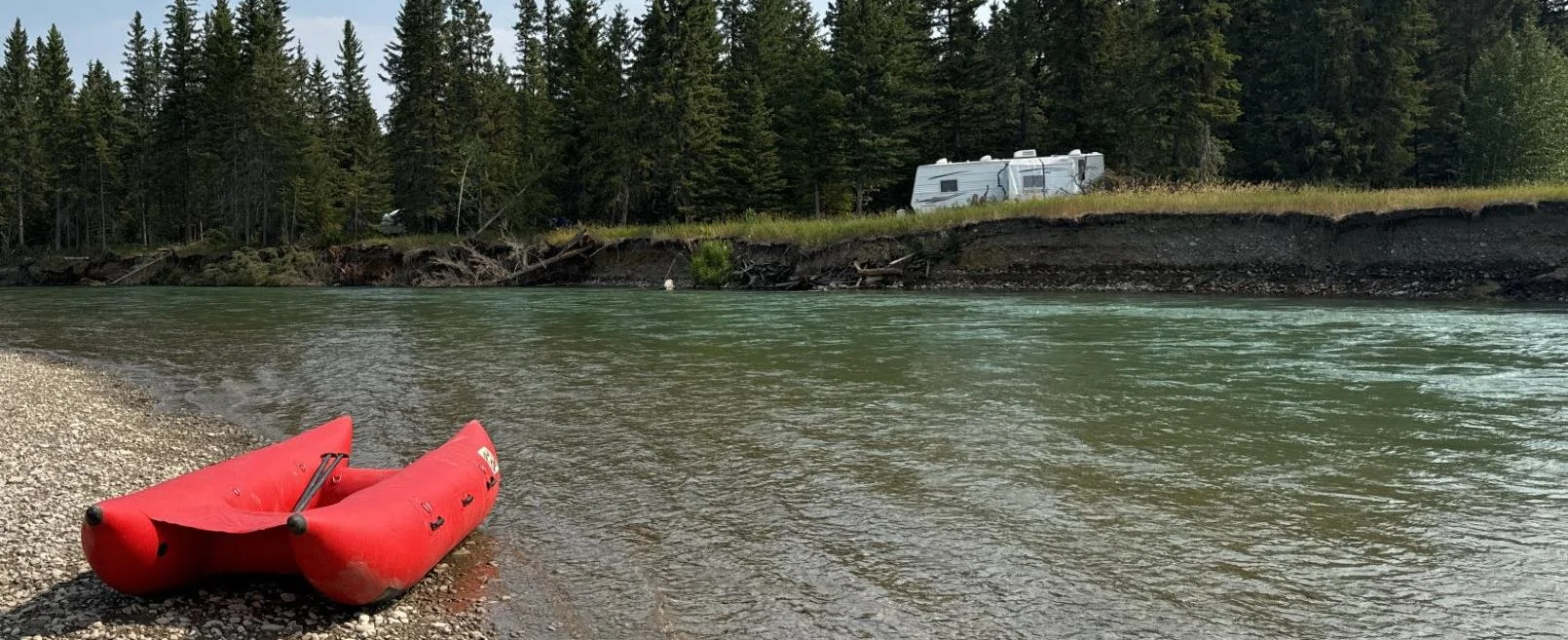
Shallow river survey from an inflatable raft with the CEE-LINE™ and Trimble TSC7
Engineering firm Midwest surveyed the remote, braided Red Deer River in Alberta and Saskatchewan by adding a CEE-LINE™ echo sounder to its Trimble R12i and TSC7 setup and paddling it on an inflatable raft. The survey, with depths often just inches below the transducer, produced a 3D elevation model for the client’s erosion and asset protection work.
Engineering firm Midwest surveyed the remote, braided Red Deer River in Alberta and Saskatchewan by adding a CEE-LINE™ echo sounder to its Trimble R12i and TSC7 setup and paddling it on an inflatable raft. The survey, with depths often just inches below the transducer, produced a 3D elevation model for the client’s erosion and asset protection work.
Read case history →
13 Nov 2025
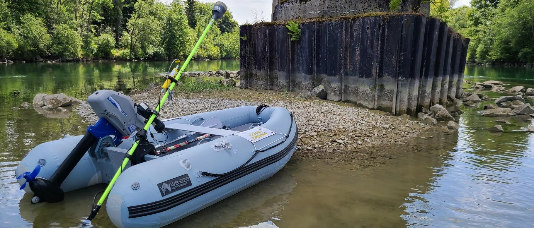
CEE-LINE™ for trustworthy shallow water bridge scour surveys in Germany
After several basic pole mounted echo sounders fell short, Ingenieurbüro Saam GmbH in Upper Bavaria adopted the CEE-LINE™ for bridge scour and river surveys in the Trimble Access environment. Datasets were consistent, repeatable and trustworthy, with consistent depths in very shallow water even near bridge structures.
After several basic pole mounted echo sounders fell short, Ingenieurbüro Saam GmbH in Upper Bavaria adopted the CEE-LINE™ for bridge scour and river surveys in the Trimble Access environment. Datasets were consistent, repeatable and trustworthy, with consistent depths in very shallow water even near bridge structures.
Read case history →