

Case histories › Case history
Case history
Copper and gold mine tailings surveys in North America with the CEE-USV™ and CEE-PILOT™
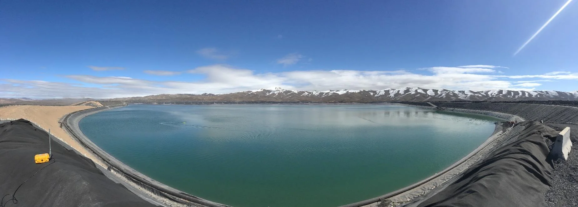
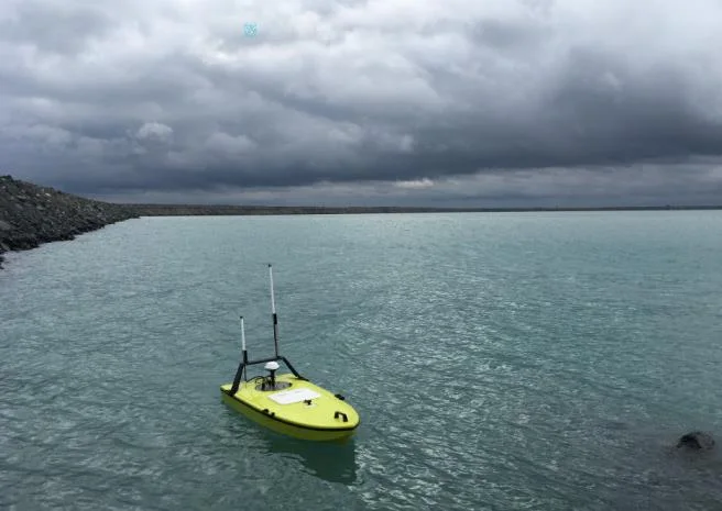
Mine sites across the USA and Canada use the CEE-USV™ for safe, simple tailings storage facility bathymetry, with real time telemetry to a shore PC over 1000 m (3300 ft). The CEE-PILOT™ autopilot, built into Hydromagic, keeps exact line spacing on large impoundments, with manual control at the perimeter.
At a glance
- Client
- Copper and gold mine sites (not named in the case history)
- Location
- USA and Canada (examples in New Mexico, Arizona and Western Canada)
- Application
- Bathymetry of mine tailings storage facilities (TSF) for water volume, deposition monitoring and state reporting
- Equipment
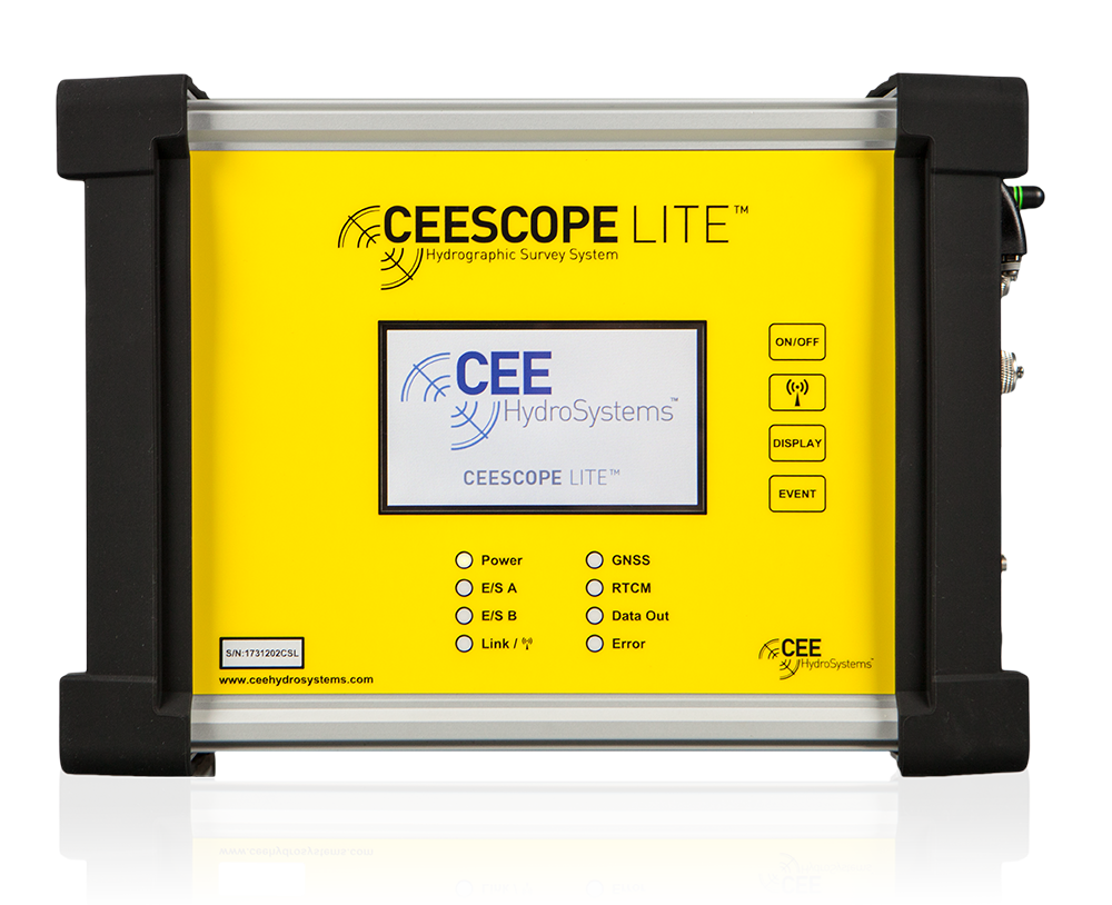
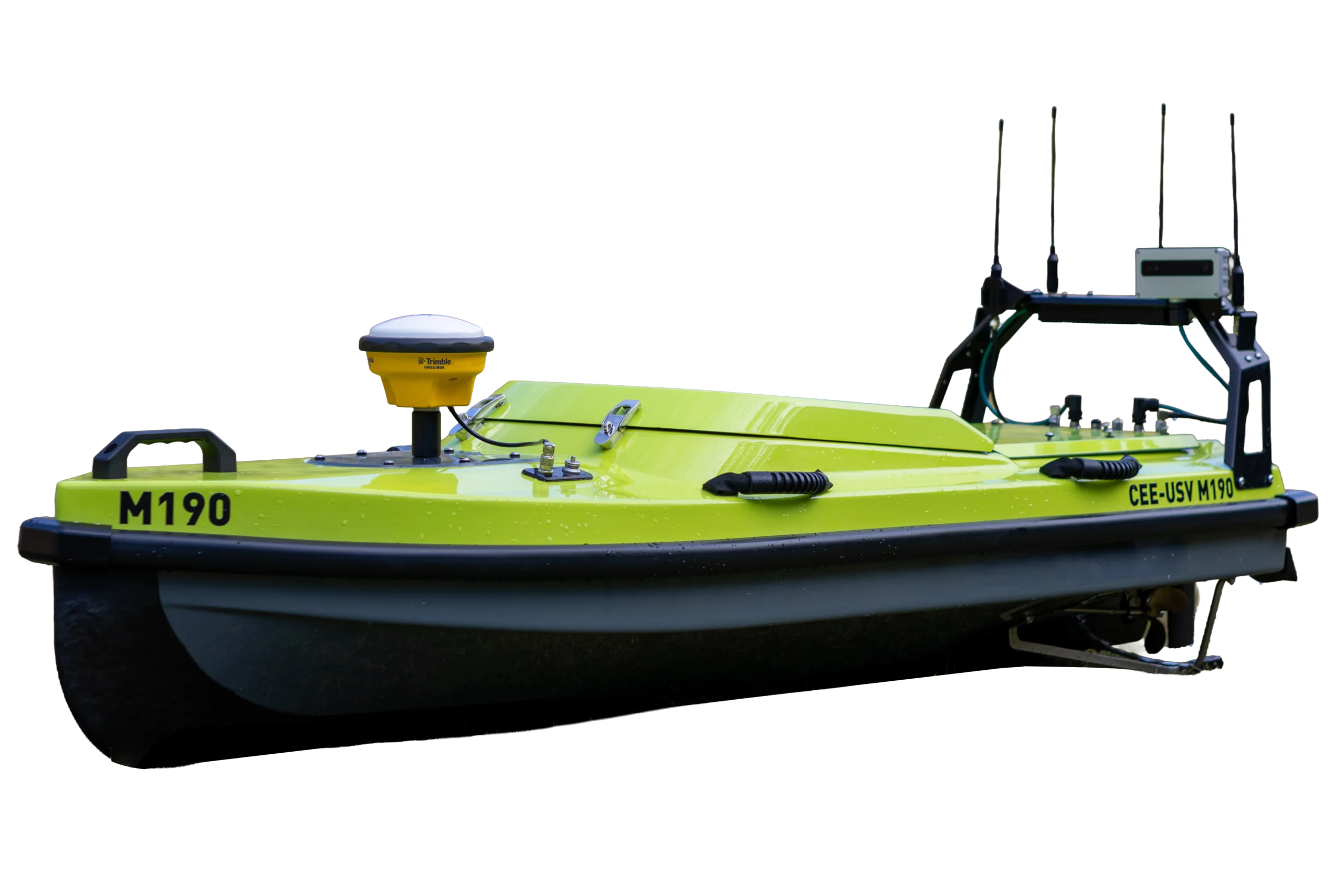
- CEE-USV™ with CEE-PILOT™ autopilot and long-range antennae
- Software
- Hydromagic, with the autopilot manager built in
- Telemetry range
- Over 1000 m (3300 ft) to a shore PC
About tailings surveys
The CEE-USV™ is an ideal unmanned surveying solution for safe bathymetry studies of mine tailings impoundments, because of its industry-leading simplicity of operation for a professional grade USV. Mine surveyors do not have the time or resources for extended troubleshooting or mobilization headaches made more likely using low grade USVs.
In the USA and Canada, CEE-USVs have been acquired for newly instituted tailings monitoring programs or to replace older USV technology already on site. The tailings environment is ideal for the CEE-PILOT™ robotic autopilot, with users able to set standardized line plans and maximize survey quality.
The challenge
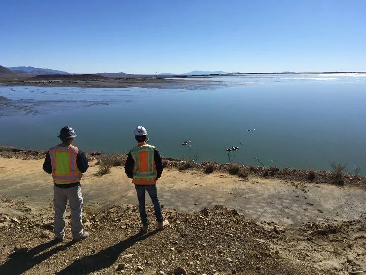
Mine engineers monitor tailings impoundment water volumes for mine site water balance calculations, tailings deposition monitoring, and mandatory state reporting obligations. Using an unmanned boat has significant safety advantages and offers potential time and manpower savings versus a manned boat survey.
Mine sites are often located in regions of temperature extremes, and mine roads can be a severe vibration test for any equipment, so survey tools must be robust and easy to set up and operate. Cost cutting when starting a USV program can lead to frustration and abandonment.
The CEE-USV™ was designed with these challenges in mind, and CEE has been helping mine sites across North America with new tailings survey programs.
The solution
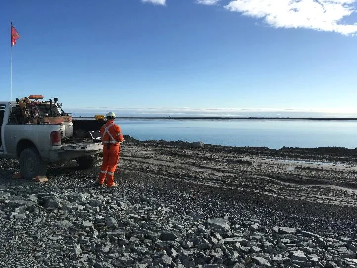
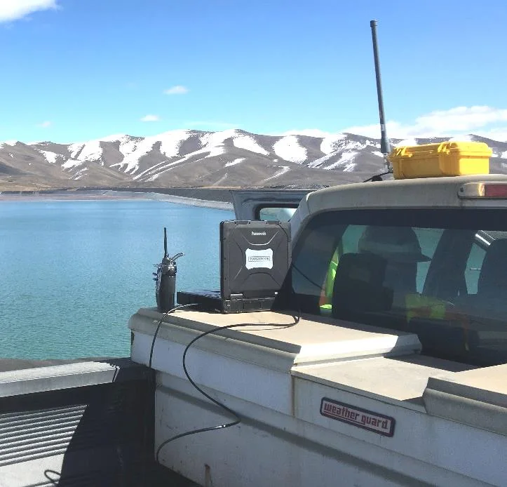
The CEE-USV™ offers real time telemetry to a shore PC and over 1000 m (3300 ft) range. The operator can drive the boat while looking at the shore display, to ensure consistent coverage of the TSF.
A typical approach:
- Users often start by driving the boat along the 1 ft – 2 ft depth contour along the full extent of the beach, marking the edge of the survey.
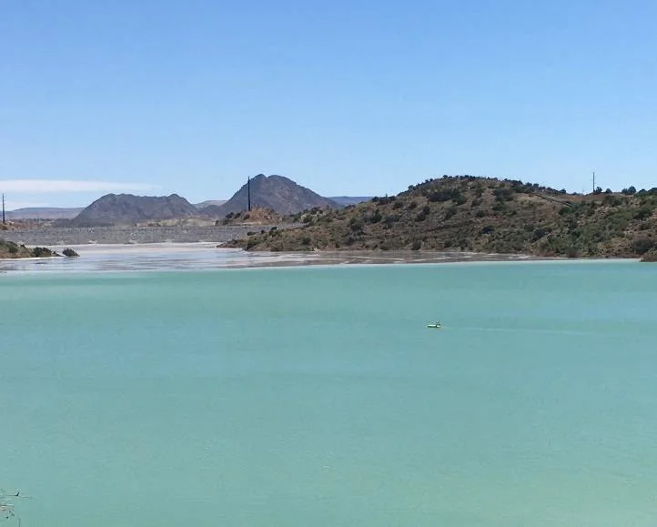
- The main body of the TSF is then surveyed using parallel lines of 100-300 ft spacing.
Autopilot and hybrid control
Particularly for large TSF impoundments, the robotic CEE-PILOT™ autopilot is useful to ensure efficient use of survey time by maintaining exact line spacing. Large areas can be surveyed without the operator in direct control, except to supervise the data.
Even with the autopilot available, a hybrid approach of manual and robotic control is usually required, as the exact position of the safe depth is not known at the perimeter of the impoundment.
The results
Over 1000 m(3300 ft) real time telemetry range
100-300 ftparallel line spacing for the main TSF body
1-2 ftdepth contour driven to mark the survey edge
The integration of the autopilot manager entirely within Hydromagic software, the acquisition package used by almost all mine sites for bathymetry surveys, maintains simplicity in the CEE-USV program, even when using an advanced autopilot.
Planning a similar survey?
Tell us about your site and we’ll recommend the right equipment.
Talk to us →
More from the field
6 Jan 2026
Trimble RTX for accurate wastewater sludge comparison surveys with the CEE-USV™
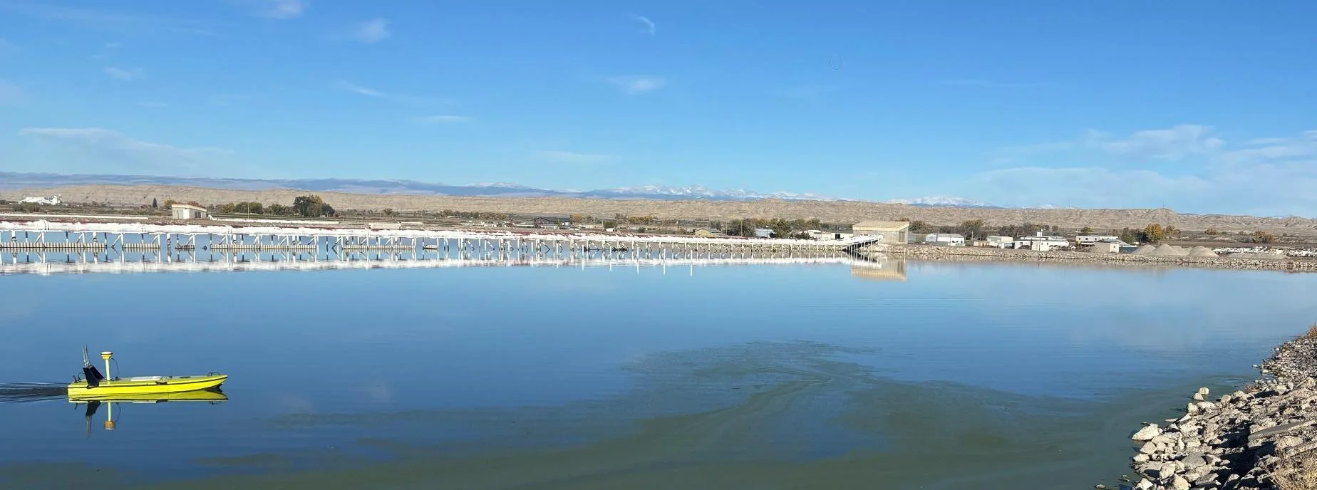
Team Lab monitors sludge in hundreds of wastewater lagoons with the CEE-USV™. Adding a CEESCOPE™ with Trimble CenterPoint® RTX in 2025 gave about 1 in (2.5 cm) vertical accuracy for the lagoon water level on every survey, so repeat surveys compare sludge volumes accurately without anyone going out on the water.
Team Lab monitors sludge in hundreds of wastewater lagoons with the CEE-USV™. Adding a CEESCOPE™ with Trimble CenterPoint® RTX in 2025 gave about 1 in (2.5 cm) vertical accuracy for the lagoon water level on every survey, so repeat surveys compare sludge volumes accurately without anyone going out on the water.
Read case history →
17 Sep 2023
Surveying industrial water with single beam echo sounders and USVs: mine water, frac pits and effluent ponds
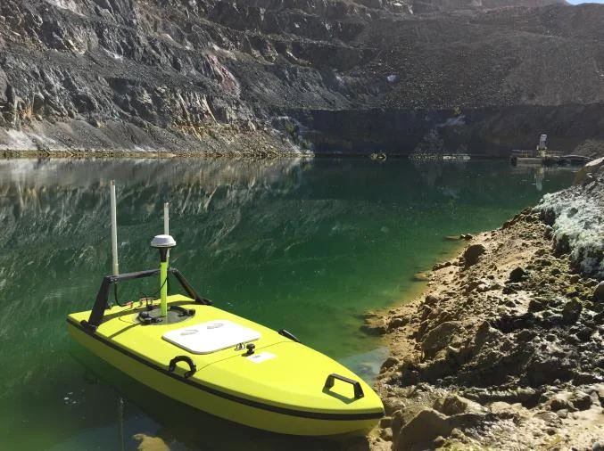
How single beam echo sounders and unmanned survey boats are used for industrial water management: reservoir volume, sludge and sediment, and regulatory reporting. Worked examples cover mine tailings storage facilities, frac pits and effluent lagoon dredging.
How single beam echo sounders and unmanned survey boats are used for industrial water management: reservoir volume, sludge and sediment, and regulatory reporting. Worked examples cover mine tailings storage facilities, frac pits and effluent lagoon dredging.
Read case history →
29 Apr 2022
CEE-USV™ surveys a wastewater lagoon in 45 mph winds and sub-zero temperatures
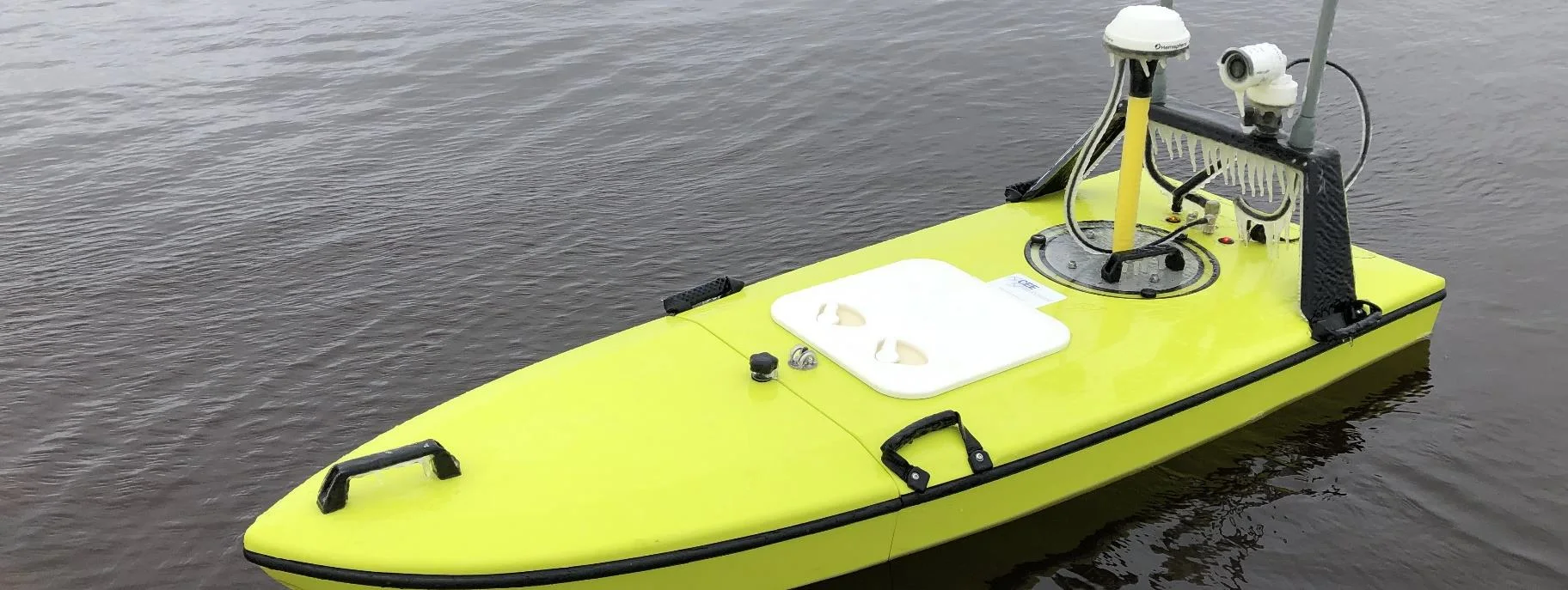
Midwest Planning LLC ran a CEE-USV™ survey of a Minnesota wastewater lagoon in late April, in 45 mph gusts and sub-zero temperatures, with the surveyor operating from a warm truck. Ice on the antennas caused some data drop-outs, but the on-board CEESCOPE LITE™ logged everything, so any gaps could be filled in Hydromagic.
Midwest Planning LLC ran a CEE-USV™ survey of a Minnesota wastewater lagoon in late April, in 45 mph gusts and sub-zero temperatures, with the surveyor operating from a warm truck. Ice on the antennas caused some data drop-outs, but the on-board CEESCOPE LITE™ logged everything, so any gaps could be filled in Hydromagic.
Read case history →