

Case histories › Case history
Case history
CEE-LINE™ for trustworthy shallow water bridge scour surveys in Germany
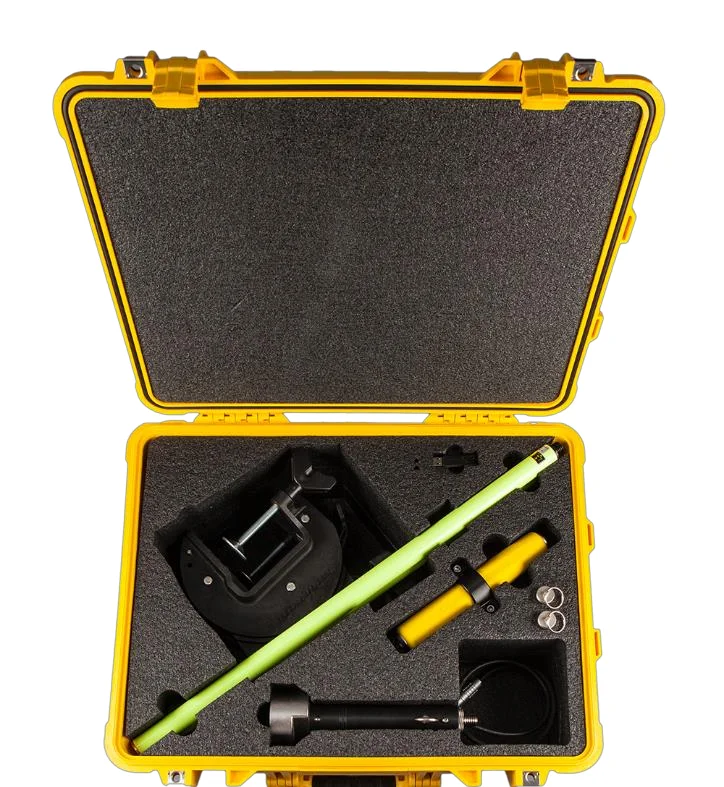
After several basic pole mounted echo sounders fell short, Ingenieurbüro Saam GmbH in Upper Bavaria adopted the CEE-LINE™ for bridge scour and river surveys in the Trimble Access environment. Datasets were consistent, repeatable and trustworthy, with consistent depths in very shallow water even near bridge structures.
At a glance
- Client
- Ingenieurbüro Saam GmbH
- Location
- Upper Bavaria, Southern Germany
- Application
- Bridge scour and shallow water hydrographic surveys
- Equipment
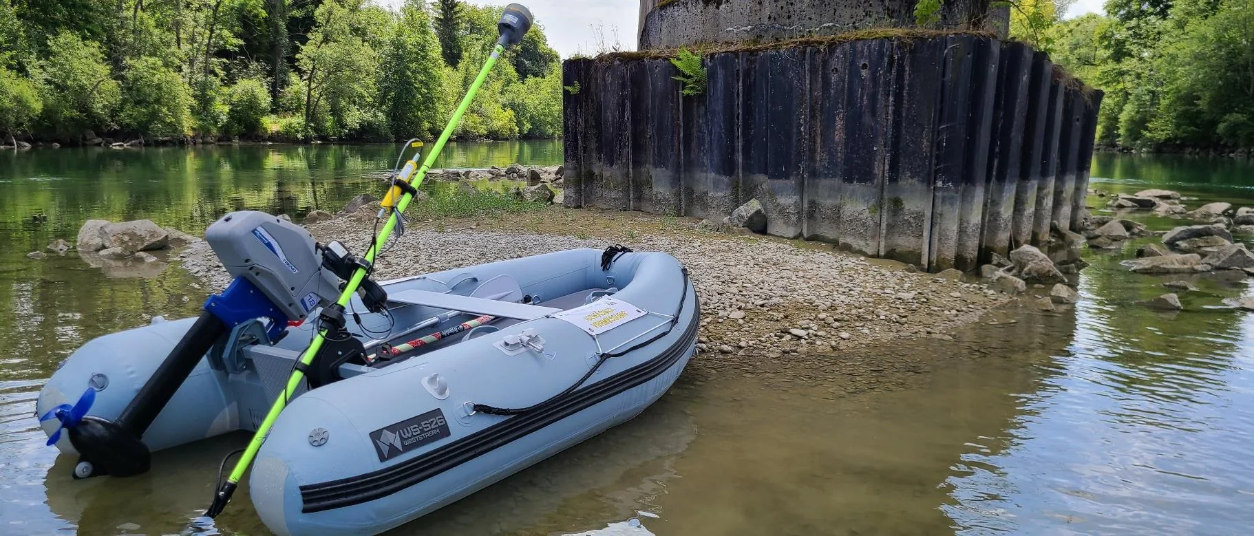
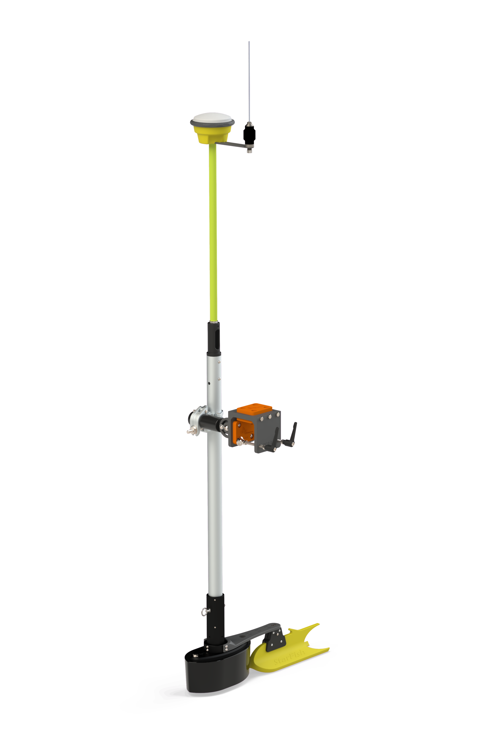
- CEE-LINE™ echo sounder with pole mount kit, on an electric inflatable boat
- GNSS and software
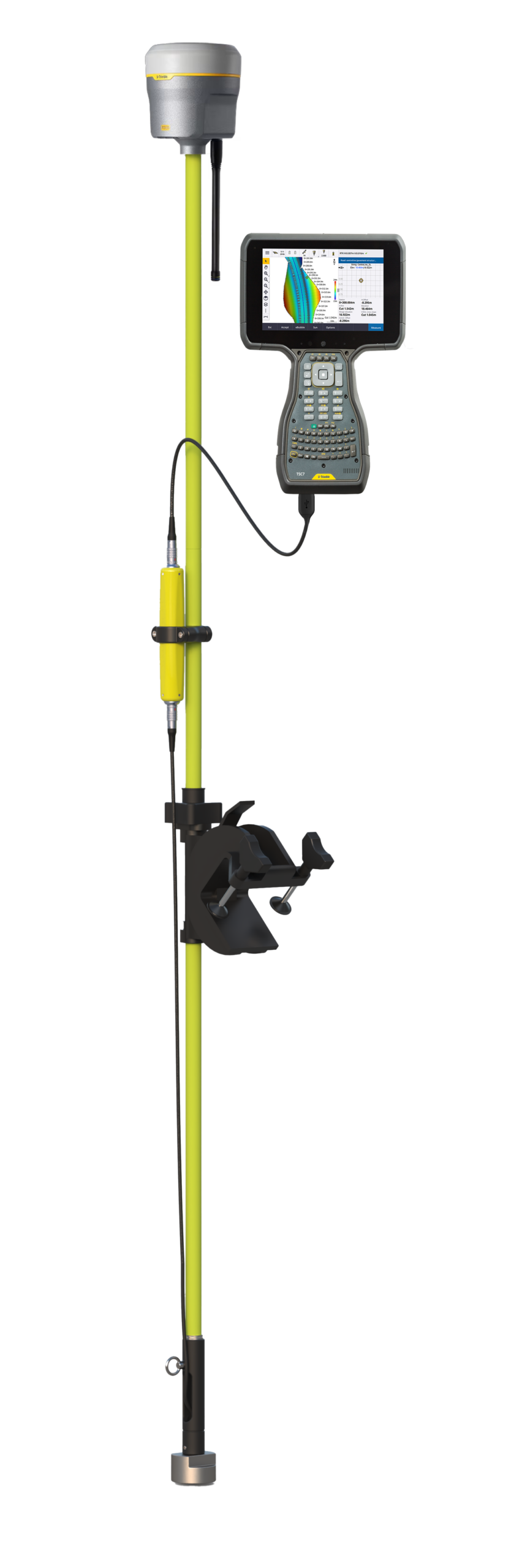
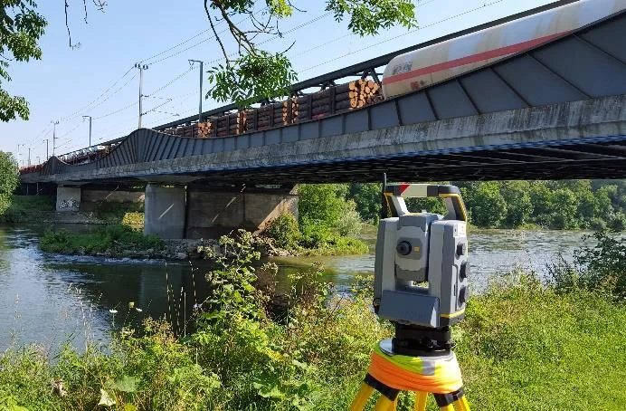
- Trimble GNSS and Trimble S7 total station, Trimble Access™ on a TSC3 data collector
About Ingenieurbüro Saam
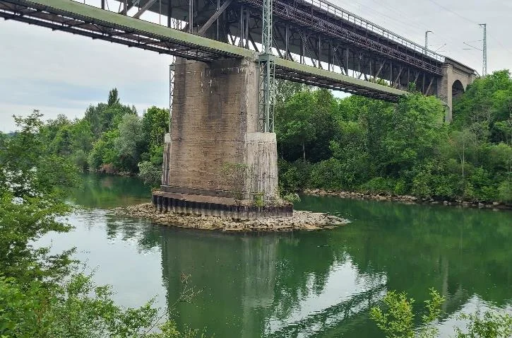
In Southern Germany, surveyors at Ingenieurbüro Saam GmbH were looking for a reliable echo sounder to pair up with their Trimble GNSS equipment. The company specializes in bridge surveying and had tested several basic pole mounted echo sounders in recent years; none had fully met their expectations.
The challenge
After contacting CEE HydroSystems, Dipl.-Ing Michael Saam decided to try out the CEE-LINE™ kit for use on a new electric zero-emissions inflatable boat to be used for hydrographic surveys.
- Trimble Access™: compatibility with the field software was a crucial requirement for the CEE-LINE™.
- Total station: while many surveys would be conducted using GNSS positioning, for bridge surveys it was important that operation with a Trimble S7 total station was also possible.
The solution
With the echo sounder connected to the TSC3 data collector, the collector USB port provides power and the data port receives the 10 Hz digital depth soundings. There is no battery to charge and no requirement for pairing devices with Bluetooth.
When in operation, the NMEA echo sounder survey style is selected and continuous topo points are acquired while navigating along the survey route.
The move to newer TSC data collectors in the future, such as TSC7, TSC5 and TSC510, is supported by alternate cable and communication options, to keep Ingenieurbüro Saam GmbH surveying.
The results
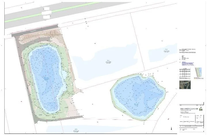
Projects completed include scour surveying / damage of slopes from high water, epoch comparison filling and cutting, and groundwater lakes and river reconstruction.
The main benefit of the CEE-LINE™ was the consistency in readings, especially in very shallow water. Particularly when using a simplified acquisition method based on GNSS software, it is important that the echo sounder is reporting consistent depths not affected by spurious reflections from nearby bridge structures or hard, highly reflective bottom surfaces.
On the echo sounder performance after working on several surveys, Michael said:
“Only a low number of artifacts (mostly when quite shallow), very fine! I’m very happy having finally found a reliable equipment for water hydrographic surveying – thanks to CEE Hydro!”
Dipl.-Ing Michael Saam, Ingenieurbüro Saam GmbH
Planning a similar survey?
Tell us about your site and we’ll recommend the right equipment.
Talk to us →
More from the field
10 Dec 2025
Shallow river survey from an inflatable raft with the CEE-LINE™ and Trimble TSC7
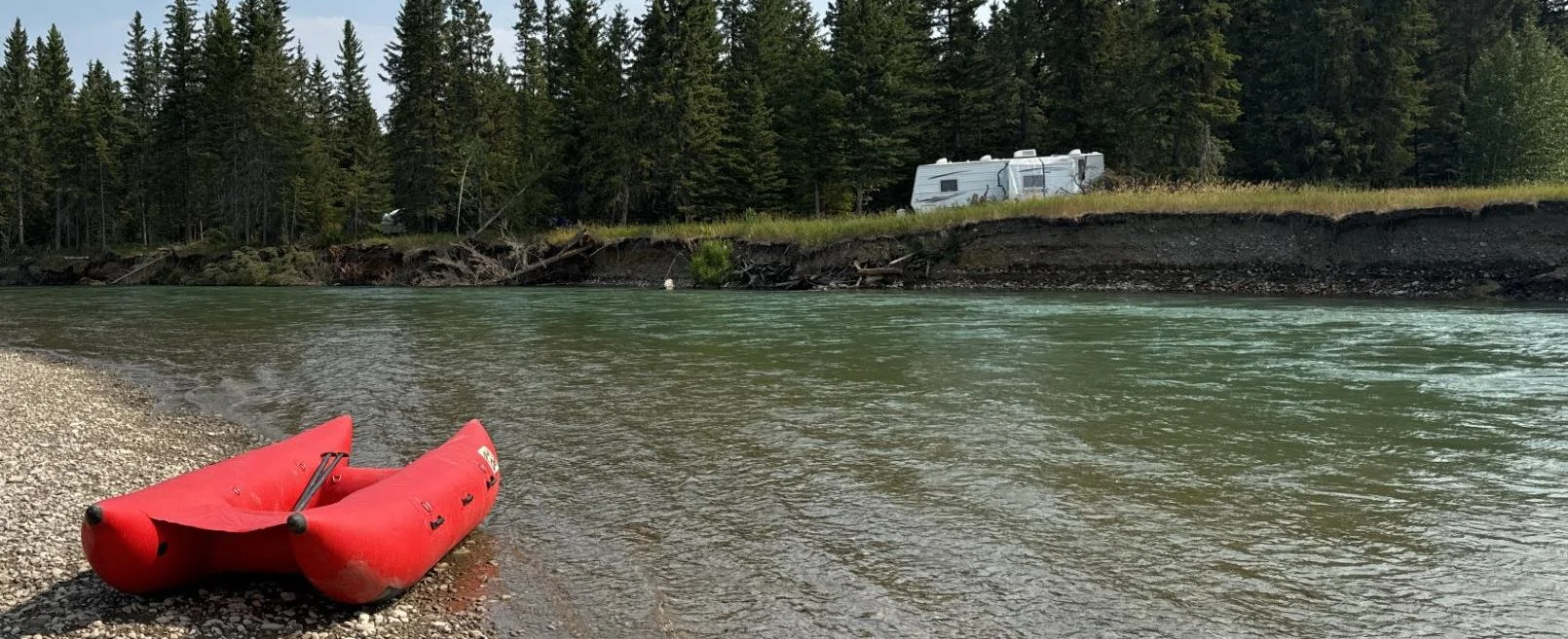
Engineering firm Midwest surveyed the remote, braided Red Deer River in Alberta and Saskatchewan by adding a CEE-LINE™ echo sounder to its Trimble R12i and TSC7 setup and paddling it on an inflatable raft. The survey, with depths often just inches below the transducer, produced a 3D elevation model for the client’s erosion and asset protection work.
Engineering firm Midwest surveyed the remote, braided Red Deer River in Alberta and Saskatchewan by adding a CEE-LINE™ echo sounder to its Trimble R12i and TSC7 setup and paddling it on an inflatable raft. The survey, with depths often just inches below the transducer, produced a 3D elevation model for the client’s erosion and asset protection work.
Read case history →
2 Feb 2019
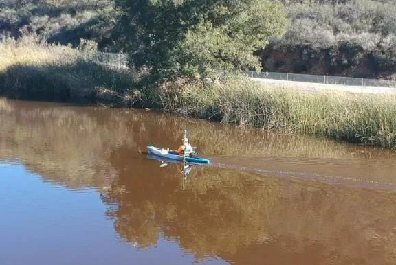
CEE-LINE™ with Trimble R10 used for Lake Eleanor dam survey from a kayak
GIS Surveyors surveyed the 8.2 acre Lake Eleanor reservoir from a kayak with a CEE-LINE™, Trimble R10 and TSC3, with no extra mobilization or setup time. Data went to Civil 3D for contours and a volume calculation, and the client was very happy with the results.
GIS Surveyors surveyed the 8.2 acre Lake Eleanor reservoir from a kayak with a CEE-LINE™, Trimble R10 and TSC3, with no extra mobilization or setup time. Data went to Civil 3D for contours and a volume calculation, and the client was very happy with the results.
Read case history →