

Case histories › Case history
Case history
CEE-USV™ surveys tailings and acid leach ponds at the Ray copper mine
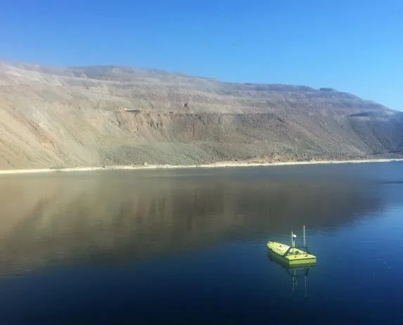
At the Ray copper mine in Arizona the CEE-USV™ made the first ever bathymetric survey of the Elder Gulch tailings impoundment, and surveyed corrosive acid leach ponds with no one on the water. Hydromagic gave the mine its water volumes within an hour of finishing the surveys.
At a glance
- Site
- Ray copper mine, Arizona, USA
- Application
- Bathymetry of a tailings storage facility and acidic leach pad reservoirs
- Equipment
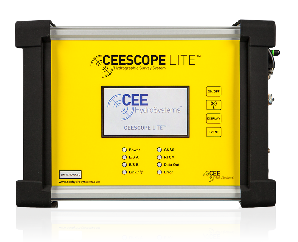
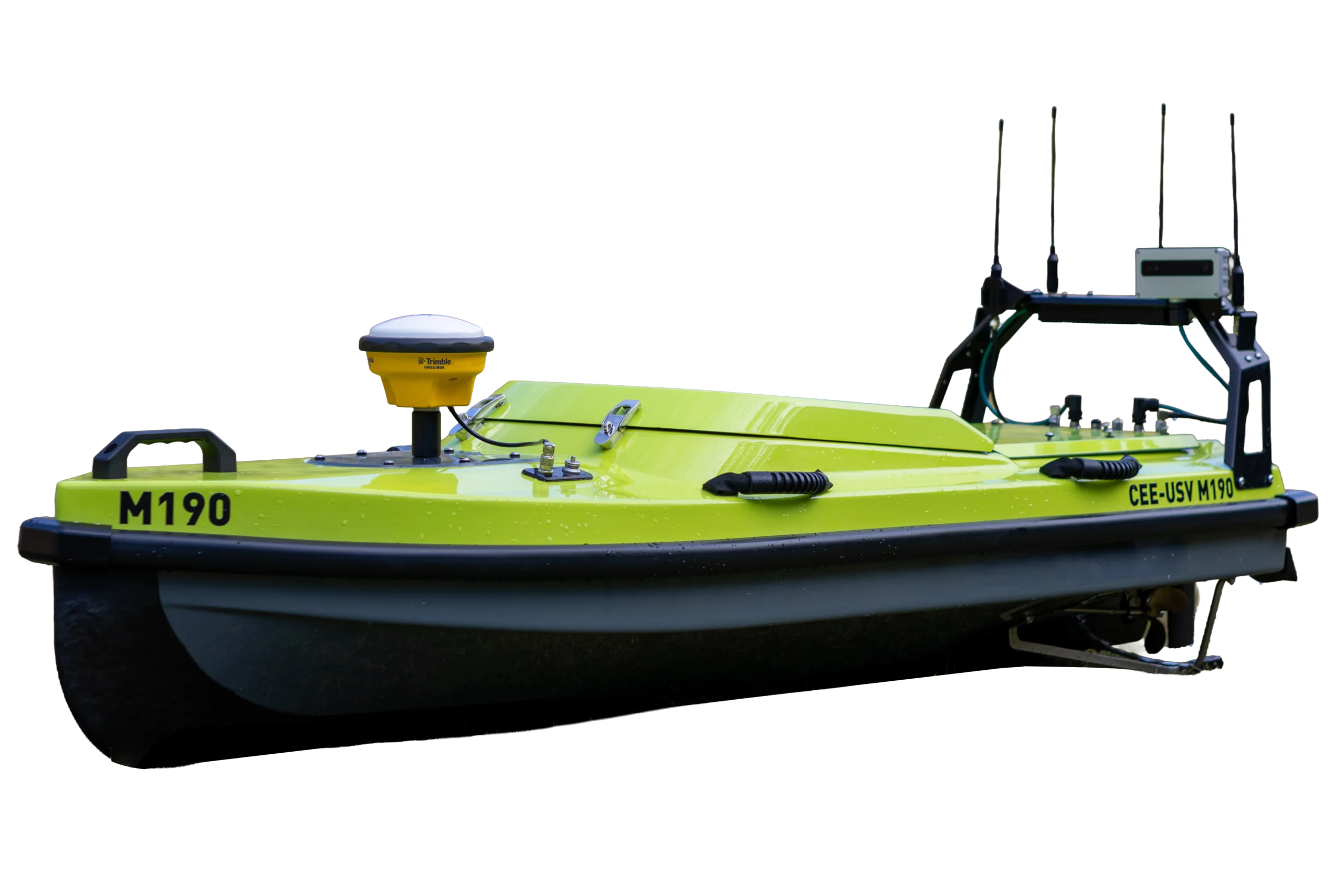
- CEE-USV™ single beam survey drone boat
- Software
- Hydromagic (volume calculations and stage to volume curves)
- Surveyed
- Elder Gulch tailings impoundment (700 m x 300 m), sulfuric acid leach ponds, process water storage
- Output
- Bathymetry maps, water volumes and stage to volume curves
About the project
The CEE-USV™ demonstrated its ruggedness and suitability for harsh industrial environments while being transported around a large open pit copper mine on haul roads and dirt trails, followed by surveying in corrosive acidic leach pad reservoirs and the tailings storage facility.
The challenge
Mine engineers developing site-wide water balance models need the available water volumes in the various reservoirs on site. The largest reservoir is typically the tailings storage facility (TSF), where crushed rock fines are sent for storage, water removal and eventual reclamation back to dry land.
Without knowledge of the bathymetry of the TSF, engineers do not know the amount of free water in the reservoir. Periodic hydrographic surveying of the TSF allows accurate water volume estimates, and an ongoing survey program ensures the water resource is always well understood.
Why a USV
For small to medium sized TSF impoundments, the CEE-USV™ is an attractive solution. With no need to have personnel on the water, eliminating the associated stand by and recovery safety procedures, the feasibility of a bathymetry survey effort increases substantially. Other site reservoirs may benefit from periodic surveys once the site has the capability to undertake surveys on request.
The tailings impoundment
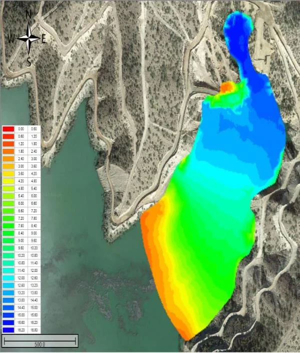
At the Ray copper mine in Arizona, USA the CEE-USV™ was used to gather the first ever bathymetric survey of the Elder Gulch tailings impoundment. With a convenient high vantage point for controlling the boat on the 700m x 300m (2300′ x 980′) pond, the Ray TSF is an ideal location for a USV survey.

Acid leach and process water ponds
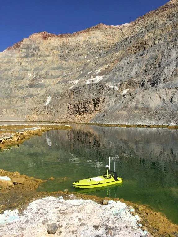
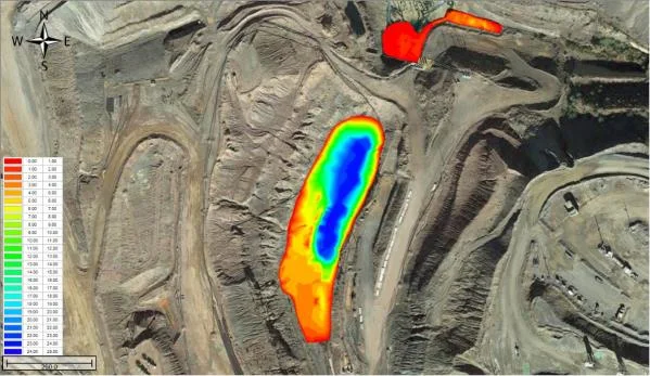
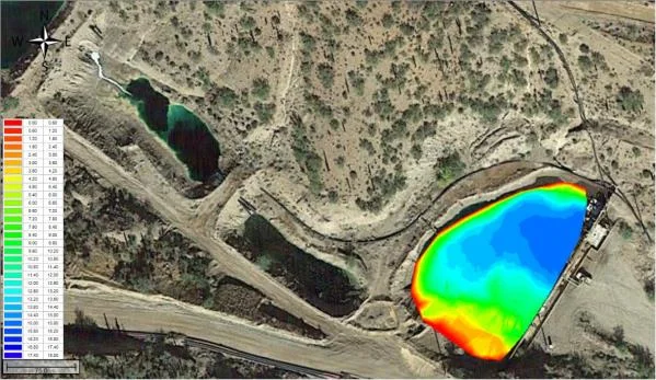
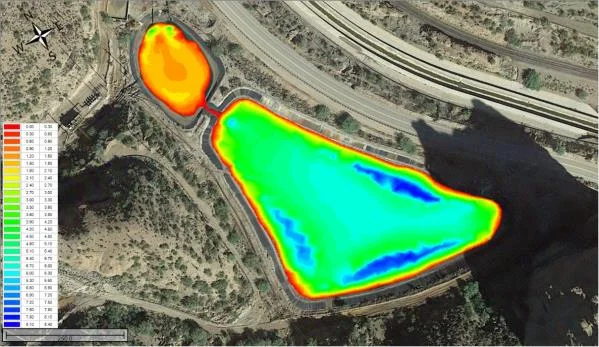
In addition to the TSF, several leach pad reservoirs were surveyed. While it is feasible (but inconvenient) to survey the TSF on a manned boat, the acidic leach ponds present a much greater safety hazard for personnel, so manned boat surveys are out of the question. Therefore, a USV is an ideal solution for these ponds.
Reliability and redundancy is key as there was no way to easily recover a stranded survey boat from an acid pond! Care was taken navigating around the pipes and structures in the ponds, with the USV’s unusual ability of being able to turn 180 degrees on its own axis proving useful on several occasions.
The results
1 hourto get water volumes after completing the surveys
First everbathymetric survey of the Elder Gulch tailings impoundment
700 x 300 m(2300′ x 980′) tailings pond surveyed
With the volume calculations and stage to volume curves provided by Hydromagic software, the mine was able to get the water volumes within an hour of completing the surveys. Once the bathymetry is established, water volumes may subsequently be inferred by a single water level measurement.
Limit of echo sounding in deep acid pits. The site also has a deep pit lake that is used to store acid leachate. The extreme absorption of sonar energy by the dissolved constituents of the leachate greatly decreases the penetration of echo sounder energy such that it cannot reach the bottom. At over about 10m (33ft) essentially all the emitted 200kHz energy is absorbed – a factor of ten greater than seawater. This limits the application of standard echo sounding technology to deep pits of this nature.
Planning a similar survey?
Tell us about your site and we’ll recommend the right equipment.
Talk to us →
More from the field
6 Jan 2026
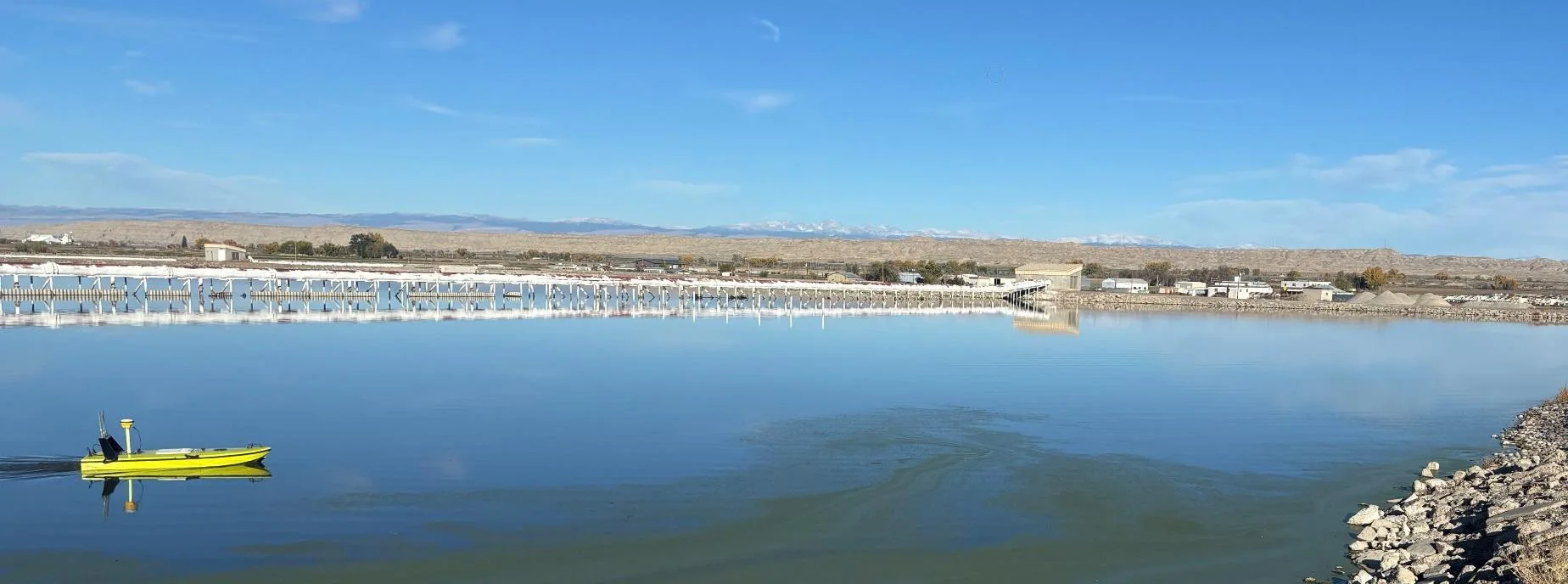
Trimble RTX for accurate wastewater sludge comparison surveys with the CEE-USV™
Team Lab monitors sludge in hundreds of wastewater lagoons with the CEE-USV™. Adding a CEESCOPE™ with Trimble CenterPoint® RTX in 2025 gave about 1 in (2.5 cm) vertical accuracy for the lagoon water level on every survey, so repeat surveys compare sludge volumes accurately without anyone going out on the water.
Team Lab monitors sludge in hundreds of wastewater lagoons with the CEE-USV™. Adding a CEESCOPE™ with Trimble CenterPoint® RTX in 2025 gave about 1 in (2.5 cm) vertical accuracy for the lagoon water level on every survey, so repeat surveys compare sludge volumes accurately without anyone going out on the water.
Read case history →
17 Sep 2023
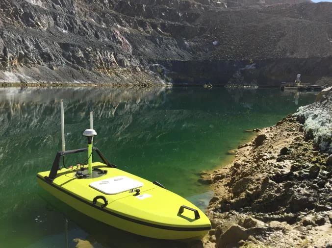
Surveying industrial water with single beam echo sounders and USVs: mine water, frac pits and effluent ponds
How single beam echo sounders and unmanned survey boats are used for industrial water management: reservoir volume, sludge and sediment, and regulatory reporting. Worked examples cover mine tailings storage facilities, frac pits and effluent lagoon dredging.
How single beam echo sounders and unmanned survey boats are used for industrial water management: reservoir volume, sludge and sediment, and regulatory reporting. Worked examples cover mine tailings storage facilities, frac pits and effluent lagoon dredging.
Read case history →
29 Apr 2022
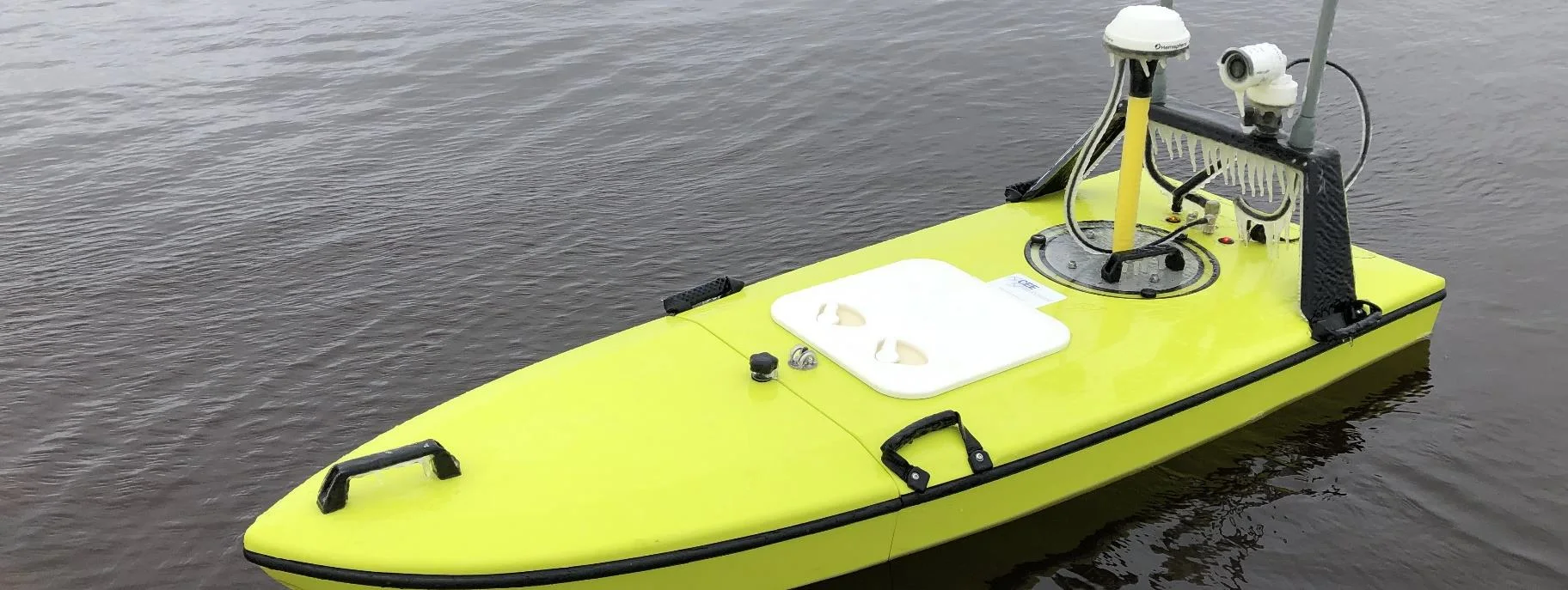
CEE-USV™ surveys a wastewater lagoon in 45 mph winds and sub-zero temperatures
Midwest Planning LLC ran a CEE-USV™ survey of a Minnesota wastewater lagoon in late April, in 45 mph gusts and sub-zero temperatures, with the surveyor operating from a warm truck. Ice on the antennas caused some data drop-outs, but the on-board CEESCOPE LITE™ logged everything, so any gaps could be filled in Hydromagic.
Midwest Planning LLC ran a CEE-USV™ survey of a Minnesota wastewater lagoon in late April, in 45 mph gusts and sub-zero temperatures, with the surveyor operating from a warm truck. Ice on the antennas caused some data drop-outs, but the on-board CEESCOPE LITE™ logged everything, so any gaps could be filled in Hydromagic.
Read case history →