

Case histories › Case history
Case history
CEE-USV™ surveys extremely shallow San Diego lagoons for Coastal Frontiers
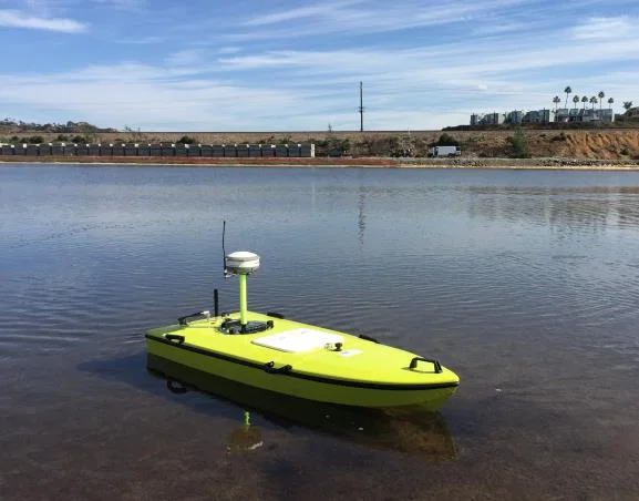
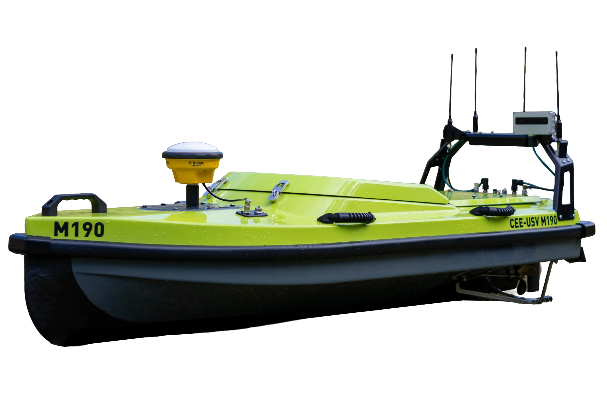
Coastal Frontiers surveyed a small system of extremely shallow, soft-mud lagoons in San Diego with a CEE-USV™, impossible for a manned boat. With a 10 cm (4″) blanking distance and 10 cm draft it sounded almost the whole lagoon, and the process was practically identical to a manned boat survey.
At a glance
- Client
- Coastal Frontiers Corporation
- Location
- North County, San Diego, California, USA
- Application
- Hydrographic surveys of a small system of extremely shallow lagoons for a coastal restoration program
- Equipment
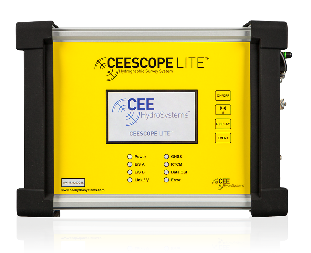
- CEE-USV™ with CEESCOPE-LITE™ control system
- GNSS and software
- Hemisphere S320 RTK base and rover, HYPACK®
About the project
CEE HydroSystems USA assisted beach and coastal survey specialists Coastal Frontiers Corporation when a small system of extremely shallow lagoons needed surveying.
As part of a coastal restoration program related to the expansion of road and rail links in the North County of San Diego, Coastal Frontiers Corp. were asked to conduct a series of hydrographic surveys by local engineering firm Moffat. & Nichol.

The challenge
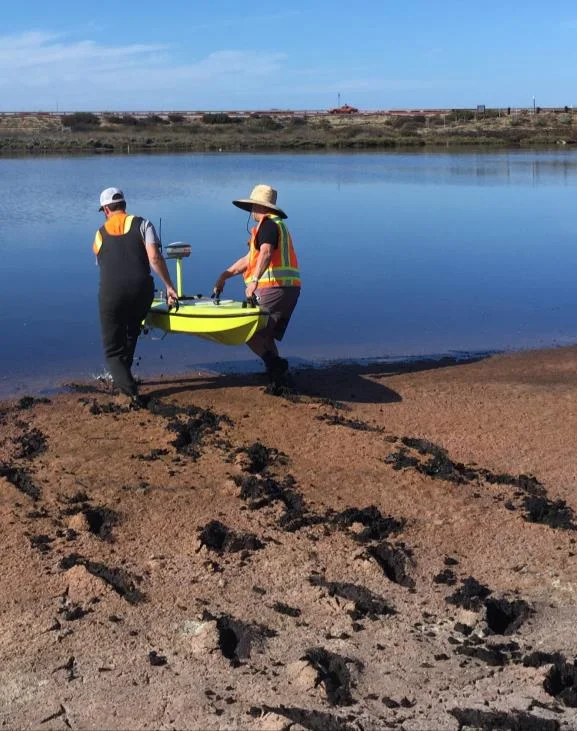
The lagoon environment has no tidal exchange, and soft mud banks presented an impossible task for a manned boat survey. A USV was the obvious solution.
The only alternative survey method would have been a surfboard and a GNSS rod taking point shots – a far more laborious procedure.
The solution
Local control was provided for the survey using a Hemisphere S320 GNSS base station with UHF radio, transmitting corrections to Coastal’s own S320 RTK rover installed on the USV.
GNSS data were incorporated into the USV’s CEESCOPE-LITE™ control system using a Bluetooth link from the S320 rover receiver to the CEESCOPE. HYPACK® was used to acquire the survey data and report bottom elevations using the RTK tide configuration.
The survey
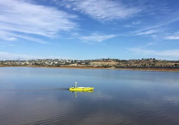
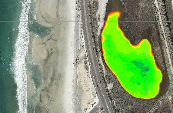
After launching the CEE-USV™, a perimeter was established by walking with the boat around the lagoon. Thereafter, a set of repeatable planned lines were followed within the perimeter boundary.
Having more power than necessary for this small survey was useful as the USV was able to simply drive right through the soft surface sediment instead of getting stranded.
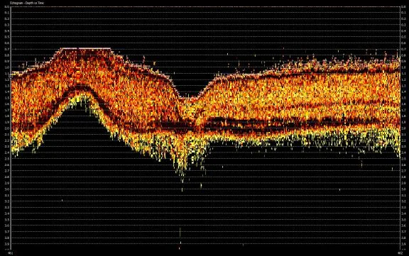
The 200kHz water column echogram trace visible in HYPACK® during the survey and available later during data editing indicated the thicker mud layer clearly, and the soundings reported the upper interface as required.
The results
10 cm (4")transducer blanking distance
10 cmdraft
Identicalline planning, execution, data checking and QC to a manned survey
With the transducer blanking distance set at just 10cm (4”) and a draft of only 10cm, the CEE-USV™ was able to provide sounding data over almost all of the lagoon area.
Using their own RTK GNSS receiver on the CEE-USV™ with HYPACK® software, Coastal staff were surprised to learn that the acquisition process using the unmanned boat was practically identical to their manned boat surveys.
The use of the CEE-USV™ presents an alternative deployment option for shallow water single beam surveys, but it does not require a change in methods. The line planning, execution, data checking and quality control remain identical to a conventional manned boat survey. The design of the CEE-USV™ has been thoughtfully executed to prevent any unnecessary additional complexity resulting from remote data collection.
Planning a similar survey?
Tell us about your site and we’ll recommend the right equipment.
Talk to us →
More from the field
6 Jan 2026
Trimble RTX for accurate wastewater sludge comparison surveys with the CEE-USV™
Team Lab monitors sludge in hundreds of wastewater lagoons with the CEE-USV™. Adding a CEESCOPE™ with Trimble CenterPoint® RTX in 2025 gave about 1 in (2.5 cm) vertical accuracy for the lagoon water level on every survey, so repeat surveys compare sludge volumes accurately without anyone going out on the water.
Team Lab monitors sludge in hundreds of wastewater lagoons with the CEE-USV™. Adding a CEESCOPE™ with Trimble CenterPoint® RTX in 2025 gave about 1 in (2.5 cm) vertical accuracy for the lagoon water level on every survey, so repeat surveys compare sludge volumes accurately without anyone going out on the water.
Read case history →
17 Sep 2023
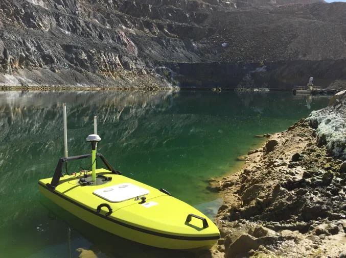
Surveying industrial water with single beam echo sounders and USVs: mine water, frac pits and effluent ponds
How single beam echo sounders and unmanned survey boats are used for industrial water management: reservoir volume, sludge and sediment, and regulatory reporting. Worked examples cover mine tailings storage facilities, frac pits and effluent lagoon dredging.
How single beam echo sounders and unmanned survey boats are used for industrial water management: reservoir volume, sludge and sediment, and regulatory reporting. Worked examples cover mine tailings storage facilities, frac pits and effluent lagoon dredging.
Read case history →
29 Apr 2022
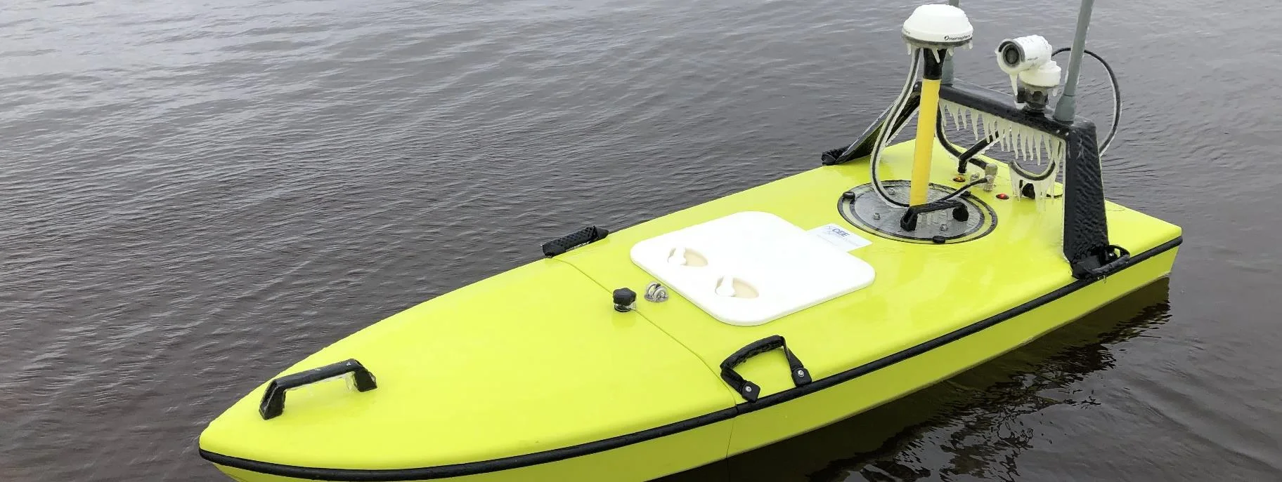
CEE-USV™ surveys a wastewater lagoon in 45 mph winds and sub-zero temperatures
Midwest Planning LLC ran a CEE-USV™ survey of a Minnesota wastewater lagoon in late April, in 45 mph gusts and sub-zero temperatures, with the surveyor operating from a warm truck. Ice on the antennas caused some data drop-outs, but the on-board CEESCOPE LITE™ logged everything, so any gaps could be filled in Hydromagic.
Midwest Planning LLC ran a CEE-USV™ survey of a Minnesota wastewater lagoon in late April, in 45 mph gusts and sub-zero temperatures, with the surveyor operating from a warm truck. Ice on the antennas caused some data drop-outs, but the on-board CEESCOPE LITE™ logged everything, so any gaps could be filled in Hydromagic.
Read case history →