

Case histories › Case history
Case history
NewFields use the CEE ECHO™ on a USV for tailings surveys
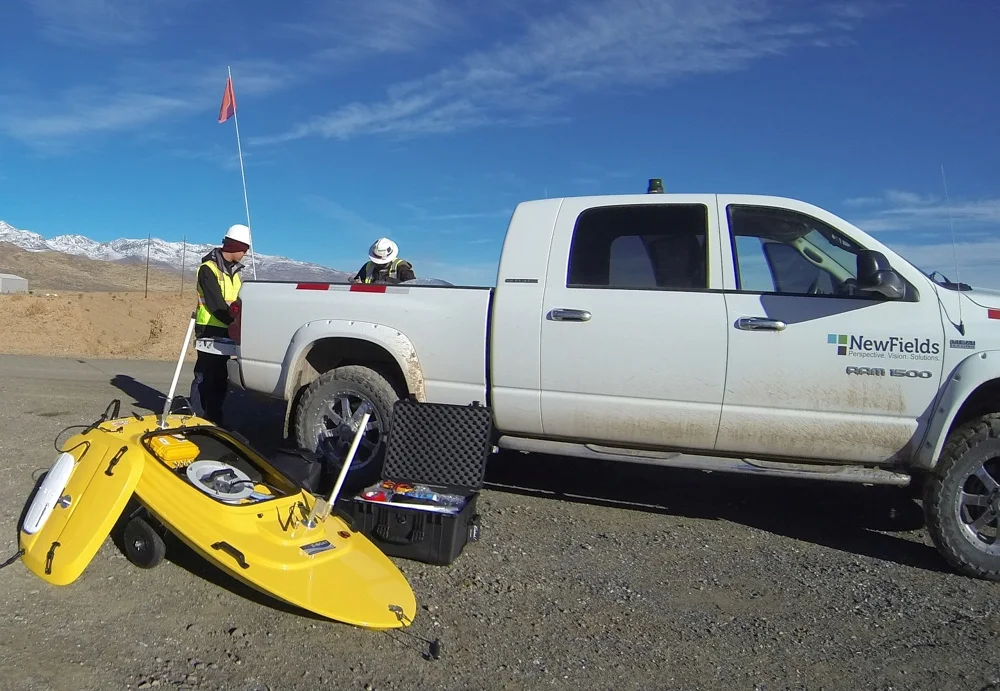
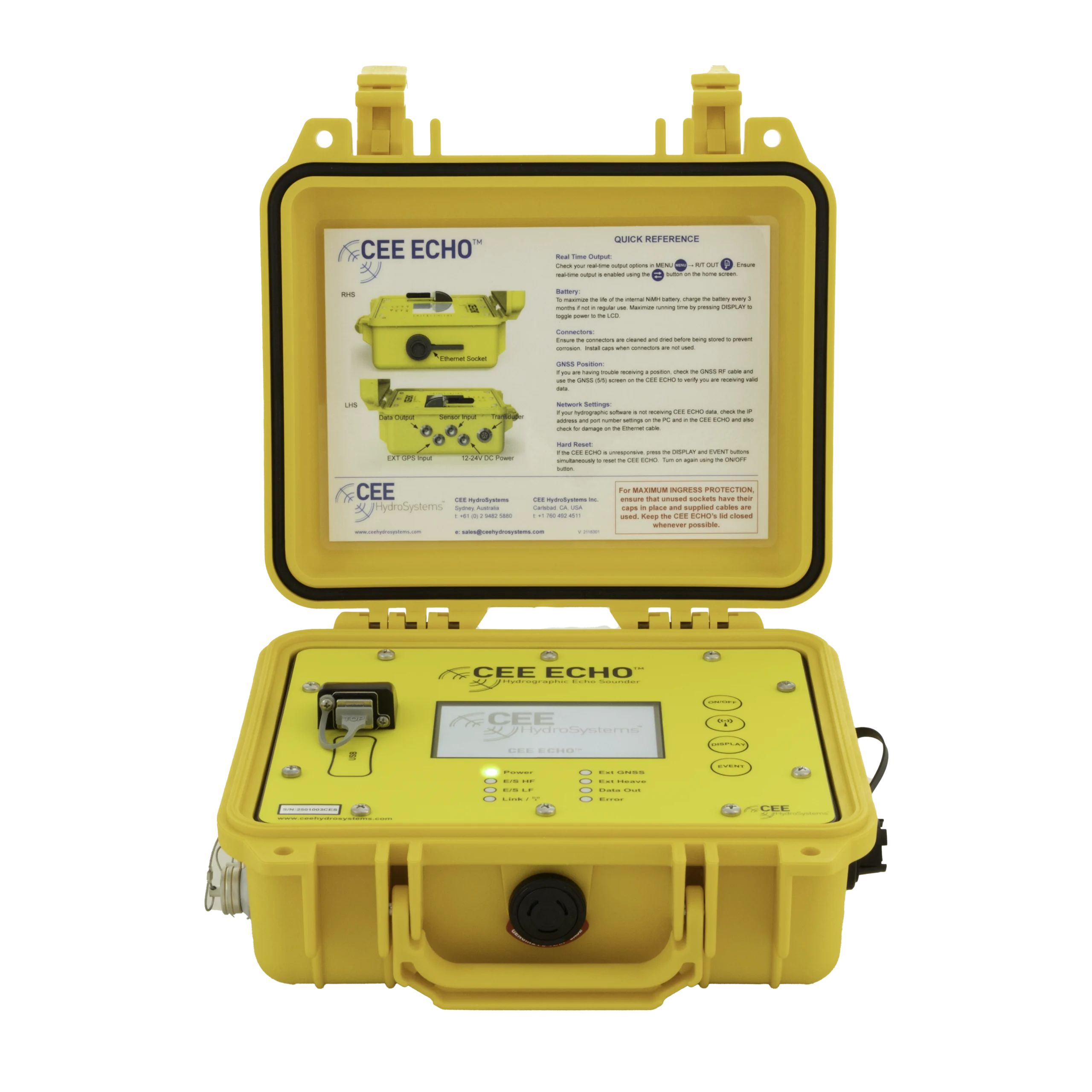
NewFields fitted a CEE ECHO™ 33 / 200 kHz dual frequency echo sounder to its remotely-operated survey boat for mine tailings pond surveys. Full water column echograms in HYPACK® let the team check depths, find low-density tailings, and win client trust, with nobody on the water.
At a glance
- Client
- NewFields (environmental consulting)
- Application
- Bathymetry of industrial water, mining waste ponds and tailings impoundments from a remotely-operated survey boat
- Equipment
- CEE ECHO™ 33 / 200 kHz dual frequency echo sounder on an Oceanscience Group Z-Boat 1800 USV
- GNSS and software
- Hemisphere V104 GPS, HYPACK®
- Since
- 2014 (USV acquired)
Use of the CEE ECHO™ on NewFields’ remotely-operated survey boat allowed collection of high quality data with scope for crucial post processing quality control, ideal for clients in the mining industry not familiar with hydrographic equipment or survey processes.
About NewFields
NewFields aims to offer an effective alternative to large institutional environmental consulting firms, and emphasizes a solution-oriented approach to consulting assignments, so the company is always looking for innovative ways to solve challenges for clients.
A large part of NewFields’ work is with mining firms, particularly their management of tailings waste impoundments on site.
The challenge
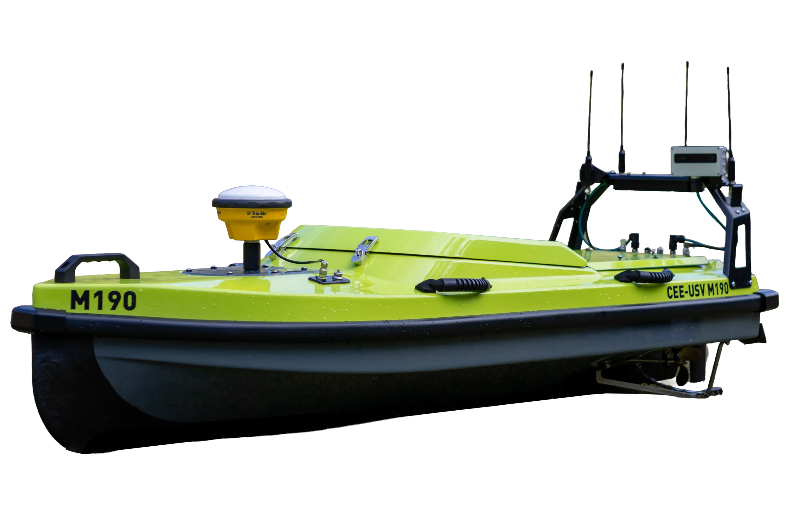
In order to offer bathymetry surveys in locations where traditional manned survey boats are not well suited, such as industrial water, mining waste ponds, power plants, and inaccessible locations, NewFields acquired a remotely-operated survey boat in 2014 (Oceanscience Group Z-Boat 1800).
With a GPS and single beam sonar system on board, survey data are transmitted to the shore controller in real time allowing bathymetry to be collected with an almost identical process to a regular survey, except with no people on the water.

The solution: CEE ECHO™ 33 / 200 kHz
NewFields’ first USV was based on the CEE ECHO 33 / 200 kHz dual frequency echo sounder, which is uniquely suited to surveying on a USV as a result of the following four characteristics:
- Size: The echo sounder was small enough to fit inside the boat compartment despite offering the advanced features necessary.
- Dual frequency HD echogram: The USV was to be used in varied environments, potentially not easy to survey, and likely involving sludge and sediment deposition and resuspension. A “digital depth” basic echo sounder simply could not be relied upon to handle many of the jobs.
- Rigorous timing accuracy: As the soundings and GPS are telemetered to the shore, undetectable and uncorrectable errors may occur if the data stream is not precisely time-tagged. As the CEE ECHO inserts a time stamp on every piece of data “at source”, any lag in telemetry will not affect survey results.
- Integration with HYPACK®: As new hydrographic equipment users, ease of use was a key factor. NewFields were able to see all data in one software package through a single Ethernet data link, including GPS position information from a Hemisphere V104.
“The CEE ECHO system allowed us to remove the mystery surrounding the echo sounding process. Being able to collect, interpret, edit, and then present the full water column echogram imagery helped us gain acceptance of this survey tool in addition to allowing us to trust the data we were presenting. On the topic of the mine tailings pond surveys in particular, the 33 kHz data has been useful for us (and the mines) in identifying where the low-density tailings are depositing in the ponds. For every survey we’ve been visited by the client and for them to see the HYPACK echogram in real time was an immediate eye-opener.”
Preston Martin, NewFields
The results
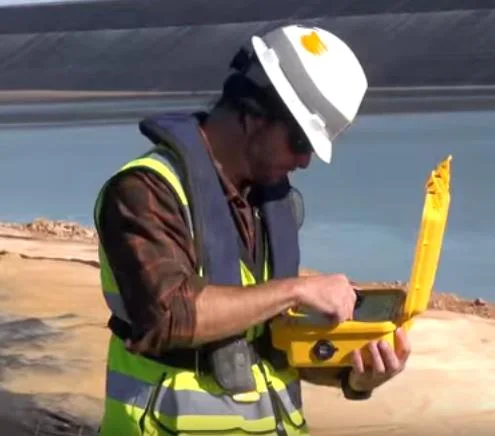
Being able to survey the tailings dams without a manned boat is a key safety benefit. Using the CEE ECHO HD dual frequency data NewFields are able to see exactly the position of the mudline and use the echogram to ensure that the depths reported are not affected by tailings resuspension.
Importantly, the visual representation of the sounding data, shown below by an echogram from a survey line across an empty cell with an adjoining cell showing tailings deposition, presents a powerful visual image to the client.
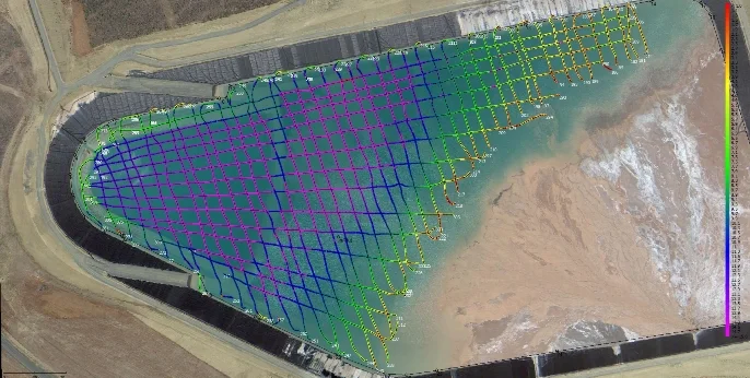
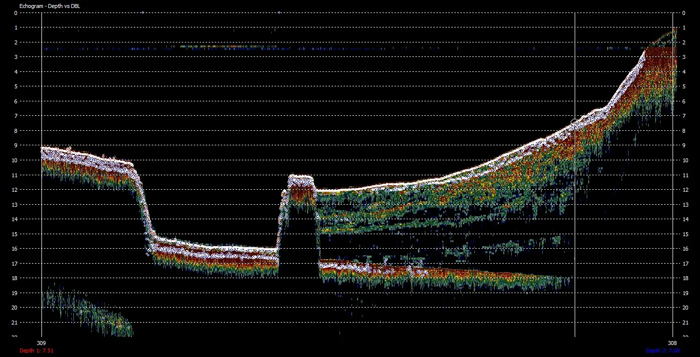
The CEE ECHO therefore allowed NewFields to present a high grade and compelling data output from a survey approach that may otherwise have been treated with suspicion by some of their clients.
To learn about NewFields’ environmental consulting services, visit their web site: www.NewFields.com.
Planning a similar survey?
Tell us about your site and we’ll recommend the right equipment.
Talk to us →
More from the field
6 Jan 2026
Trimble RTX for accurate wastewater sludge comparison surveys with the CEE-USV™
Team Lab monitors sludge in hundreds of wastewater lagoons with the CEE-USV™. Adding a CEESCOPE™ with Trimble CenterPoint® RTX in 2025 gave about 1 in (2.5 cm) vertical accuracy for the lagoon water level on every survey, so repeat surveys compare sludge volumes accurately without anyone going out on the water.
Team Lab monitors sludge in hundreds of wastewater lagoons with the CEE-USV™. Adding a CEESCOPE™ with Trimble CenterPoint® RTX in 2025 gave about 1 in (2.5 cm) vertical accuracy for the lagoon water level on every survey, so repeat surveys compare sludge volumes accurately without anyone going out on the water.
Read case history →
17 Sep 2023
Surveying industrial water with single beam echo sounders and USVs: mine water, frac pits and effluent ponds
How single beam echo sounders and unmanned survey boats are used for industrial water management: reservoir volume, sludge and sediment, and regulatory reporting. Worked examples cover mine tailings storage facilities, frac pits and effluent lagoon dredging.
How single beam echo sounders and unmanned survey boats are used for industrial water management: reservoir volume, sludge and sediment, and regulatory reporting. Worked examples cover mine tailings storage facilities, frac pits and effluent lagoon dredging.
Read case history →
29 Apr 2022
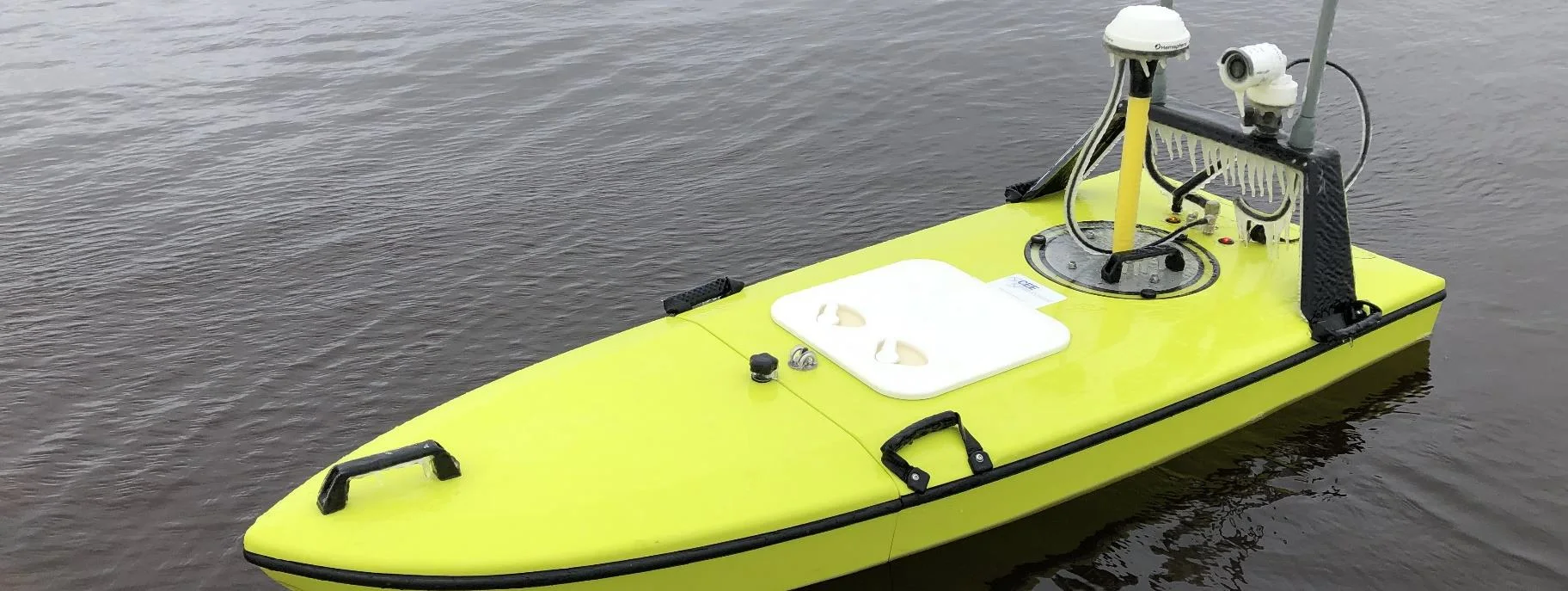
CEE-USV™ surveys a wastewater lagoon in 45 mph winds and sub-zero temperatures
Midwest Planning LLC ran a CEE-USV™ survey of a Minnesota wastewater lagoon in late April, in 45 mph gusts and sub-zero temperatures, with the surveyor operating from a warm truck. Ice on the antennas caused some data drop-outs, but the on-board CEESCOPE LITE™ logged everything, so any gaps could be filled in Hydromagic.
Midwest Planning LLC ran a CEE-USV™ survey of a Minnesota wastewater lagoon in late April, in 45 mph gusts and sub-zero temperatures, with the surveyor operating from a warm truck. Ice on the antennas caused some data drop-outs, but the on-board CEESCOPE LITE™ logged everything, so any gaps could be filled in Hydromagic.
Read case history →