

Knowledge base › Survey guide
Survey guide
How do I survey under a bridge when GNSS drops out?
Drive under the bridge in a straight line at constant speed and heading, and let the GNSS regain an RTK fix before turning. The CEESCOPE™ keeps recording time-stamped depths while position is lost, so afterwards HYPACK can interpolate the boat’s position by time and replace the bad positions. It’s less accurate than normal, but fine for many reconnaissance and scour surveys.
5 Hz GNSS rate in the example
20 Hz depth output rate
0 extra hardware
Time what positions are interpolated from
Many river surveys are near bridges, often to check scour after floods. Anything blocking the antenna’s view of the sky degrades or loses the position, and directly under a bridge you’ll rarely get a usable fix. One option is to track the boat from shore with a total station while recording depths, but that needs a lot more equipment, people and time.
Example: a road bridge in Australia
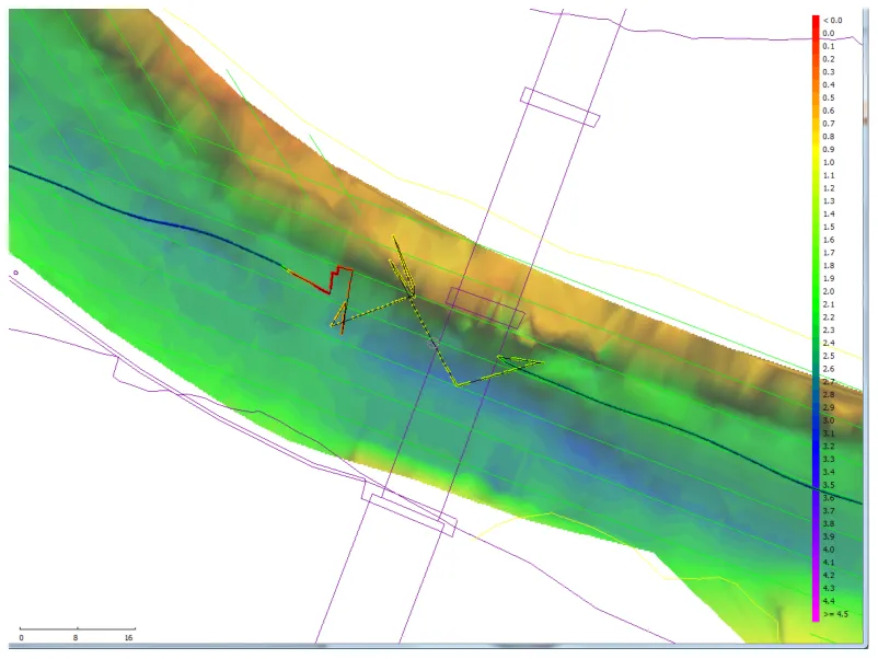
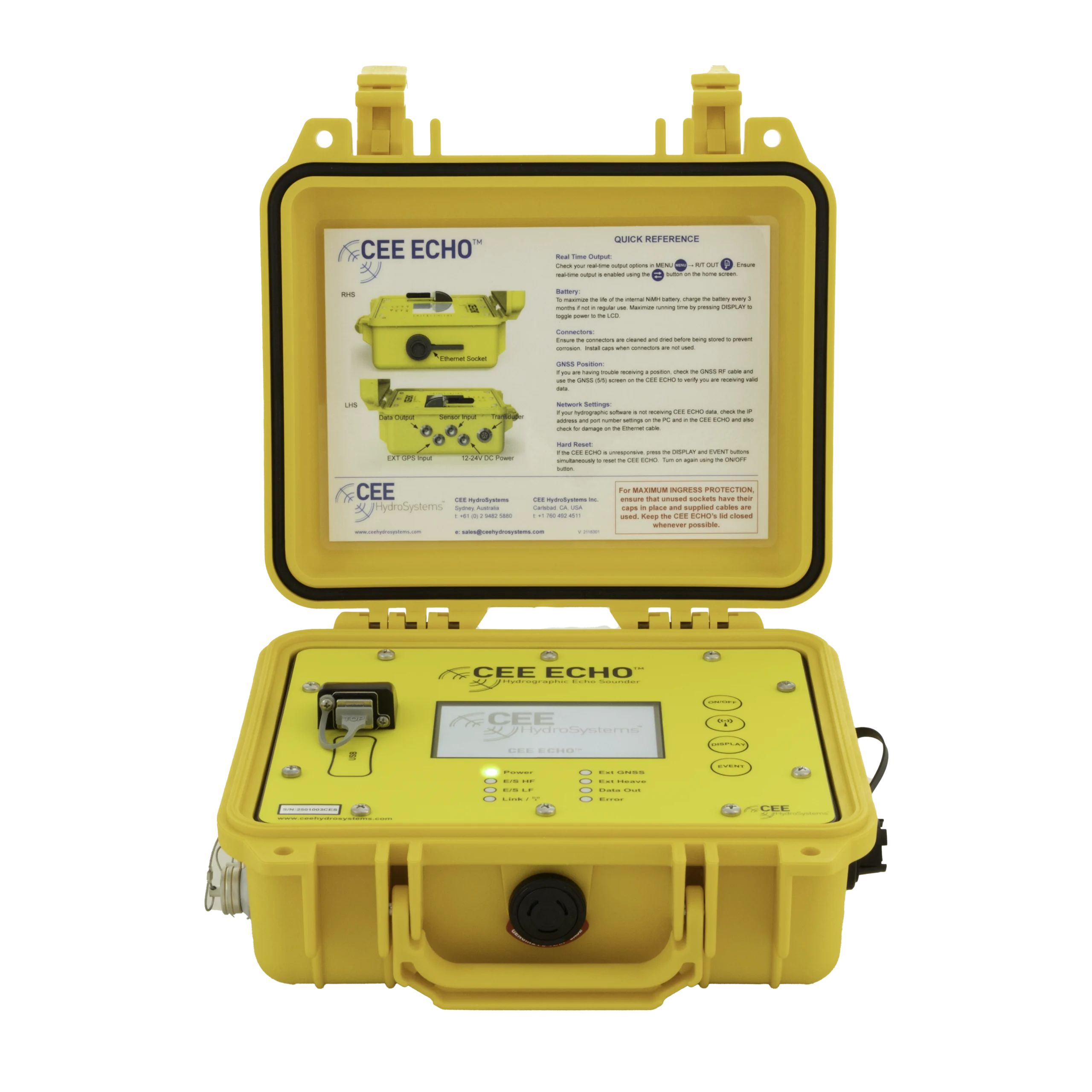
A river survey included a road bridge large enough to block GPS underneath. A CEESCOPE™ 100 RTK (RTK GNSS and single frequency 200 kHz) collected data under the bridge with no extra hardware.
- GNSS at 5 Hz, with corrections over UHF radio from the base station.
- Echo sounder output at 20 Hz, with the full echogram in real time and for post-processing.
How do I run the lines?
- Drive from one side of the bridge to the other at a constant heading and speed; not hard over short distances.
- Let the GNSS regain a fixed RTK solution before changing course after passing under. (Here there was enough water depth around the bridge to do that.)
How is the position fixed afterwards?
The CEESCOPE™ keeps outputting and recording depths while GNSS can’t supply a position. Because depth and GNSS data are precisely time-stamped, and the time-stamped depths continue without GNSS, the data can be recompiled in software such as HYPACK®. The boat’s position under the bridge is interpolated from elapsed time, and the bad raw positions are replaced with calculated ones.
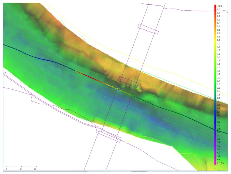
Accuracy: errors are clearly larger than normal, but this simple technique may be good enough for many reconnaissance surveys. For close work around piers, also see how beam angle affects data near bridge piers.
Equipment used

Talk to US
Need a hand with your set-up?
Our engineers answer survey questions every day.