

Case histories › Case history
Case history
Hydroline uses the CEESCOPE™ for frac water pond volume surveys
Louisiana-based Hydroline LLC surveys frac water storage ponds and pits with a single-person system built around the all-in-one CEESCOPE™ and HYPACK®. The detailed 20Hz sounding data produce volume surveys that are demonstrably superior to the industry standard.

At a glance
- Client
- Hydroline LLC
- Location
- Louisiana, USA
- Application
- Water volume surveys of frac’ water storage ponds and pits for the hydraulic fracturing industry
- Equipment
- “All in one” CEESCOPE™ with 200 kHz transducer and GPS antenna on a small manned boat
- Software
- HYPACK®
- Output
- 20Hz sounding data and 3D pond surfaces for volume calculation
About Hydroline
Louisiana, USA based Hydroline LLC offer water volume surveys supporting the hydraulic fracturing industry.
The challenge
After reviewing various echo sounder and unmanned boat survey systems, Hydroline LLC teamed up with CEE HydroSystems to develop a leading survey capability for frac’ water storage ponds. The goal was to obtain unequivocal, high quality pond and pit volume data for their clients.
The solution
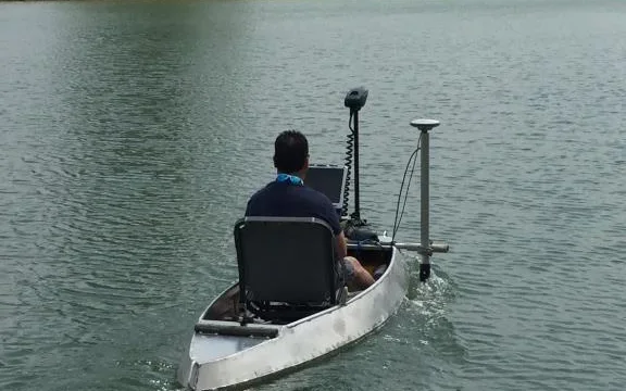
For flexibility to cover all survey scenarios from small excavated pits to large natural lakes, a small manned boat was selected over a remotely-operated boat. The CEESCOPE’s 200 kHz transducer and GPS antenna were mounted at the bow on a pivoting mount to allow very shallow operation.
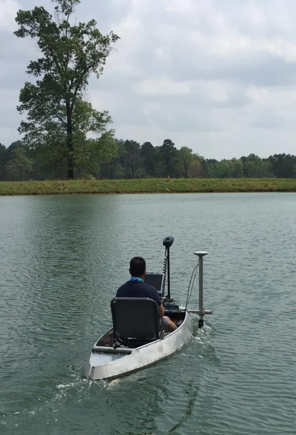
While surveying, the on-board laptop display offers a real-time view of the boat track, soundings, and detailed water column echogram for a complete view of the survey data, all with only a single cable to the CEESCOPE™.
The results
20HzCEESCOPE™ sounding data
1person to operate the survey system
1cable to the CEESCOPE™
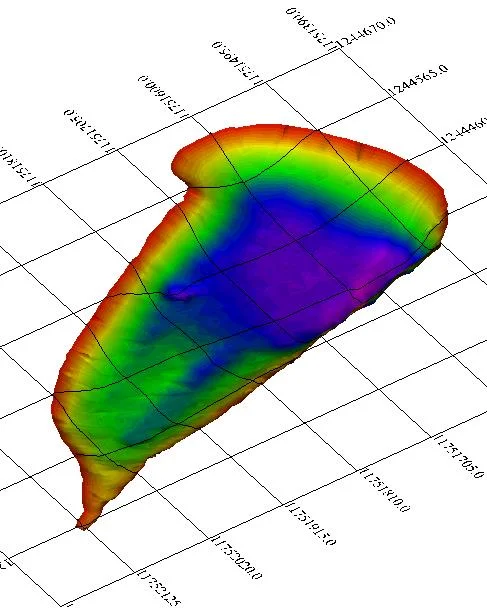
Using a single-person survey system based around the CEESCOPE™ “all in one” echo sounder, Hydroline use advanced HYPACK® software in combination with exceptionally detailed 20Hz CEESCOPE™ sounding data to generate surveys demonstrably superior to the industry standard.
Ease of operation and industrial-grade ruggedness were key decision factors for the setup; the Hydroline team are already producing wonderful results.
Planning a similar survey?
Tell us about your site and we’ll recommend the right equipment.
Talk to us →
More from the field
6 Jan 2026
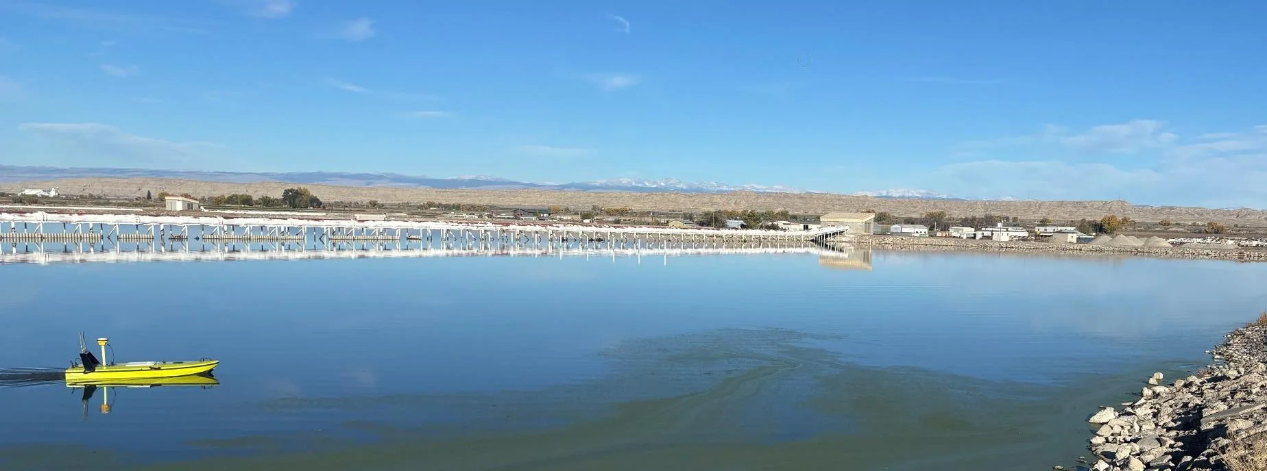
Trimble RTX for accurate wastewater sludge comparison surveys with the CEE-USV™
Team Lab monitors sludge in hundreds of wastewater lagoons with the CEE-USV™. Adding a CEESCOPE™ with Trimble CenterPoint® RTX in 2025 gave about 1 in (2.5 cm) vertical accuracy for the lagoon water level on every survey, so repeat surveys compare sludge volumes accurately without anyone going out on the water.
Team Lab monitors sludge in hundreds of wastewater lagoons with the CEE-USV™. Adding a CEESCOPE™ with Trimble CenterPoint® RTX in 2025 gave about 1 in (2.5 cm) vertical accuracy for the lagoon water level on every survey, so repeat surveys compare sludge volumes accurately without anyone going out on the water.
Read case history →
17 Sep 2023
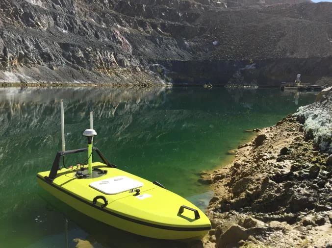
Surveying industrial water with single beam echo sounders and USVs: mine water, frac pits and effluent ponds
How single beam echo sounders and unmanned survey boats are used for industrial water management: reservoir volume, sludge and sediment, and regulatory reporting. Worked examples cover mine tailings storage facilities, frac pits and effluent lagoon dredging.
How single beam echo sounders and unmanned survey boats are used for industrial water management: reservoir volume, sludge and sediment, and regulatory reporting. Worked examples cover mine tailings storage facilities, frac pits and effluent lagoon dredging.
Read case history →
7 Dec 2020
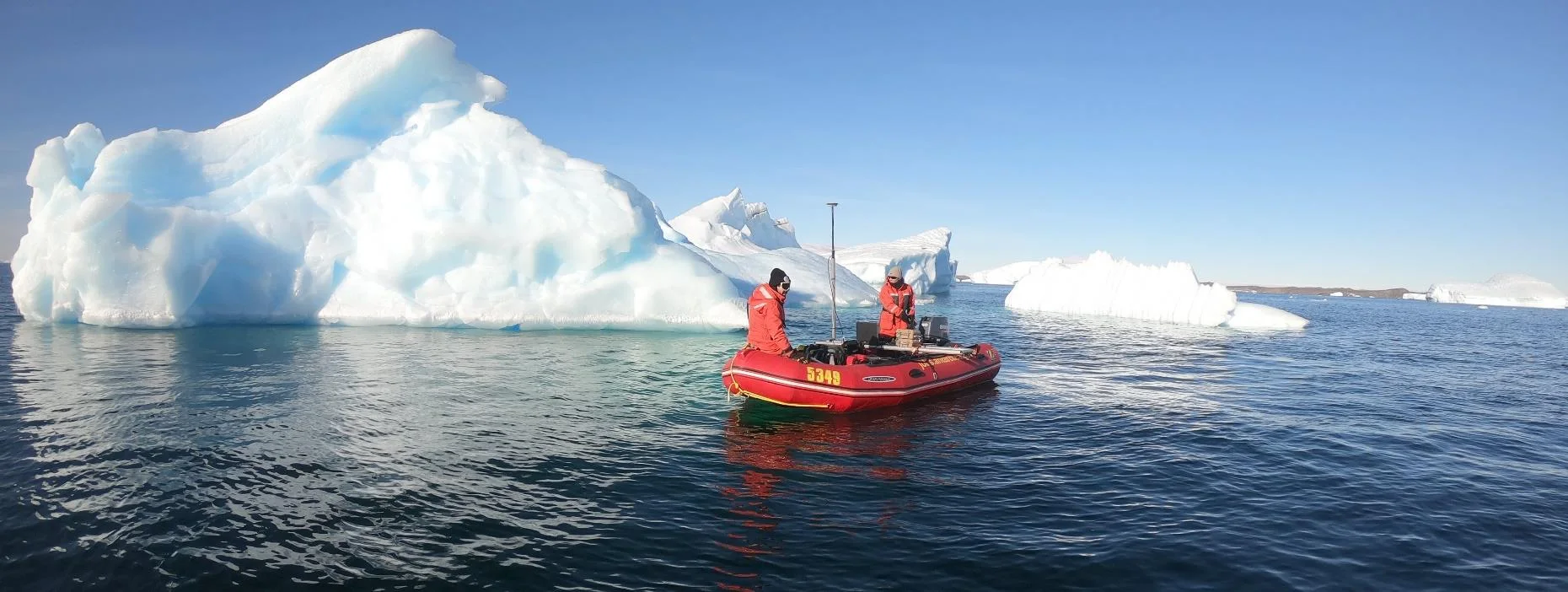
Surveying with the CEESCOPE™ in the coldest place on Earth
An Antarctic survey team completed bathymetry and side scan surveys around Davis Station with no mishaps or equipment problems, using a CEESCOPE™ and CEE-TSF™ StarFish side scan on a very small boat. The data helps assess a proposed concrete runway.
An Antarctic survey team completed bathymetry and side scan surveys around Davis Station with no mishaps or equipment problems, using a CEESCOPE™ and CEE-TSF™ StarFish side scan on a very small boat. The data helps assess a proposed concrete runway.
Read case history →