

Case histories › Case history
Case history
CEESCOPE™ and enhanced StarFish side scan for rapid mobilization surveys with the Royal Australian Navy
The RAN now has a ruggedized, airline-portable Rapid Mobilization Survey System (RMSS), a CEESCOPE™ with Tactical StarFish side scan, for rapid environmental assessment, vessel of opportunity and conventional survey ship work, all acquired in HYPACK®.

At a glance
- Client
- Royal Australian Navy (RAN)
- Application
- Rapid response single beam and side scan surveys: rapid environmental assessment, vessel of opportunity and conventional survey vessels
- Equipment
- Rapid Mobilization Survey System (RMSS): RTK CEESCOPE™ with arctic grade power pack, plus Tactical StarFish side scan
- Software
- HYPACK® acquisition software
- Platforms
- RIBs from HMAS Canberra-class LHD, Light Utility Boats, survey ships and survey motor launches
The requirement
The Royal Australian Navy (RAN) required a modern, easy to use, rapid deployment survey capability comprising a single beam echo sounder and side scan imaging.
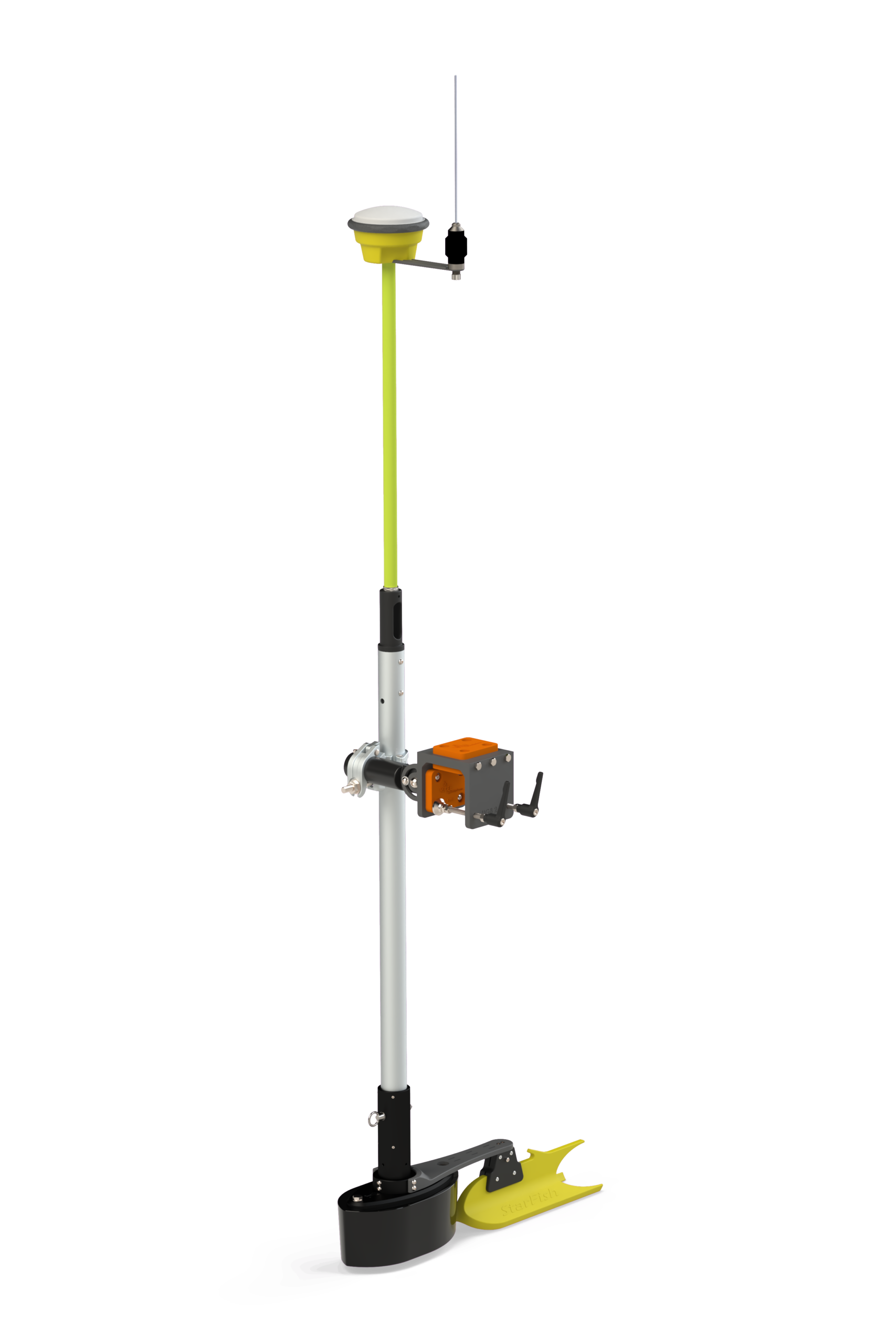
To meet this requirement, CEE engineers first took the Tritech StarFish side scan and designed a waterproof, ruggedized battery-operated topside to replace the OEM unit. Then, the existing RTK CEESCOPE™ was augmented with an arctic grade power pack. Together, the CEESCOPE and Tactical StarFish form the Rapid Mobilization Survey System (RMSS), used for three distinct but related RAN survey challenges.
The use of single beam bathymetric surveying paired with simultaneous side scan imaging is recognized by the Royal Australian Navy, among others, as a technique well suited to rapid response surveying where accurate data are needed quickly, often in remote and potentially difficult environments. To fulfil several survey requirements with a single equipment suite, RAN contracted CEE HydroSystems to supply a hardware, software and support package designed specifically for their identified survey scenarios.
While the benefits of the equipment selected are widely applicable – ease of use, mobility and ruggedness – the RAN identified three discrete survey challenges for the new equipment:
- Rapid Environmental Assessment
- Vessel of Opportunity
- Conventional Survey Vessels
Rapid Environmental Assessment
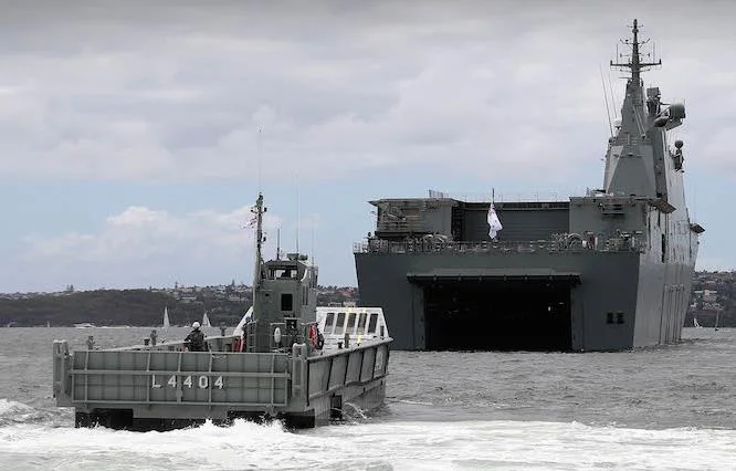
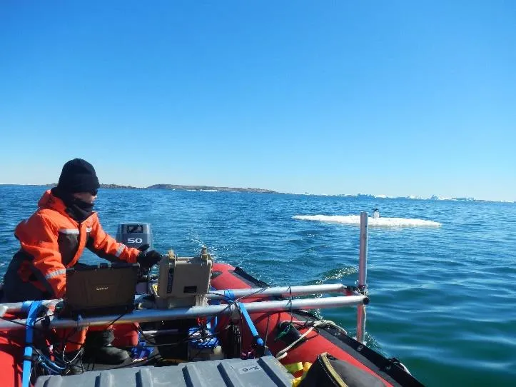
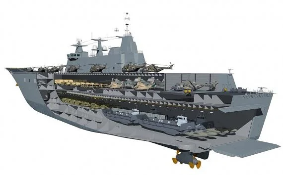
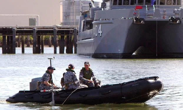
In this case, survey crews deploy quickly via rigid-inflatable (RIB) boats from the HMAS Canberra-class landing helicopter dock (LHD).
The rapid environmental assessment (REA) survey is required to survey a navigation lane/channel for landing craft (LLC) to safely navigate to the beach or the intended offload point, and ease of mobilization is a key requirement for this scenario.

Vessel of Opportunity
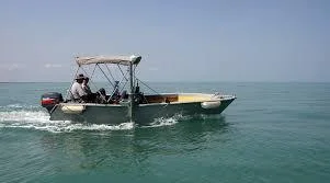
Deployable Geospatial Survey Teams (DGST) travel by commercial airlines to foreign ports to help in disaster relief efforts following cyclone and tsunami events. These activities may include identification of navigation hazards, improving situational awareness for boat coxswains, and beach surveying related to bringing aid onshore.
For this application it was critical that RMSS kit components were designed and packaged to be suitable for airline travel, and installation hardware offered maximum flexibility for mounting on varied boat types.
Conventional Survey Vessels
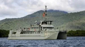
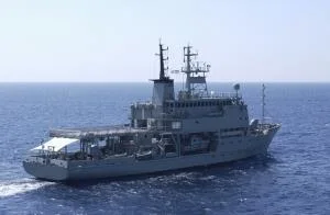
Each of the survey ships Leeuwin and Melville, and survey motor launches Paluma (IV), Mermaid, Shepparton (II) and Benalla (II), has a RMSS kit, which is deployed from a Light Utility Boat (LUB) for general shallow water surveying.
HYPACK acquisition software is used by RMSS surveyors, leading to a qualified and accurate survey product deliverable.
The value of the RMSS
The value of the RMSS to the RAN highlights the benefits of having a varied choice of survey tools. Advanced AUVs and multibeam echo sounders, for example, certainly offer exceptional capability in certain scenarios; however, the RAN application highlights the continuing value of modern single beam echo sounding techniques and equipment for shallow water surveying.
Planning a similar survey?
Tell us about your site and we’ll recommend the right equipment.
Talk to us →
More from the field
6 Jan 2026
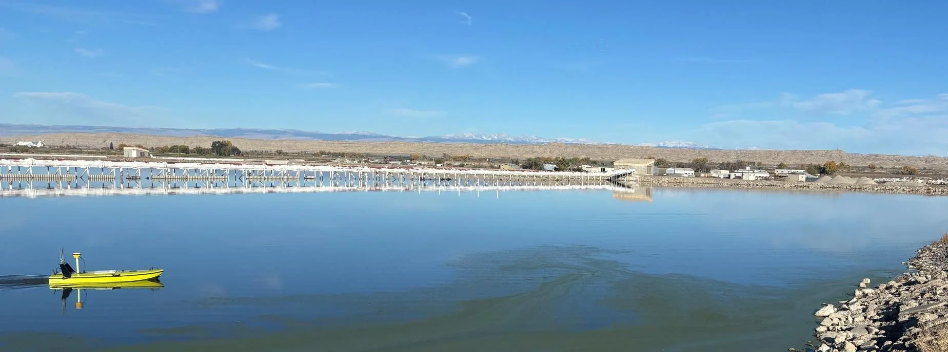
Trimble RTX for accurate wastewater sludge comparison surveys with the CEE-USV™
Team Lab monitors sludge in hundreds of wastewater lagoons with the CEE-USV™. Adding a CEESCOPE™ with Trimble CenterPoint® RTX in 2025 gave about 1 in (2.5 cm) vertical accuracy for the lagoon water level on every survey, so repeat surveys compare sludge volumes accurately without anyone going out on the water.
Team Lab monitors sludge in hundreds of wastewater lagoons with the CEE-USV™. Adding a CEESCOPE™ with Trimble CenterPoint® RTX in 2025 gave about 1 in (2.5 cm) vertical accuracy for the lagoon water level on every survey, so repeat surveys compare sludge volumes accurately without anyone going out on the water.
Read case history →
17 Sep 2023
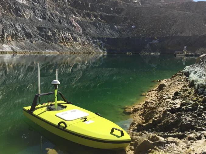
Surveying industrial water with single beam echo sounders and USVs: mine water, frac pits and effluent ponds
How single beam echo sounders and unmanned survey boats are used for industrial water management: reservoir volume, sludge and sediment, and regulatory reporting. Worked examples cover mine tailings storage facilities, frac pits and effluent lagoon dredging.
How single beam echo sounders and unmanned survey boats are used for industrial water management: reservoir volume, sludge and sediment, and regulatory reporting. Worked examples cover mine tailings storage facilities, frac pits and effluent lagoon dredging.
Read case history →
7 Dec 2020
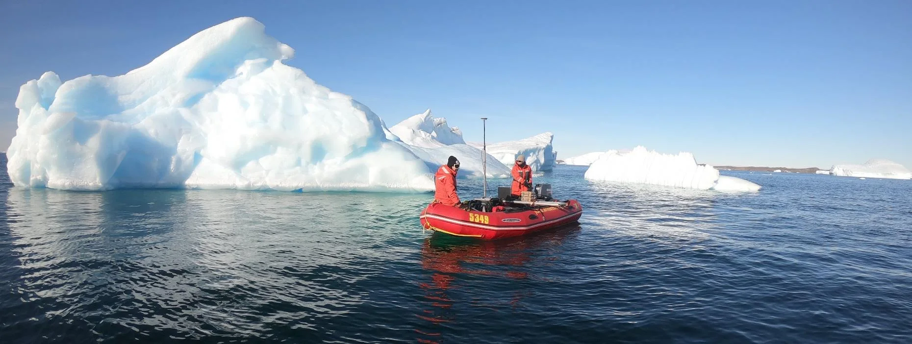
Surveying with the CEESCOPE™ in the coldest place on Earth
An Antarctic survey team completed bathymetry and side scan surveys around Davis Station with no mishaps or equipment problems, using a CEESCOPE™ and CEE-TSF™ StarFish side scan on a very small boat. The data helps assess a proposed concrete runway.
An Antarctic survey team completed bathymetry and side scan surveys around Davis Station with no mishaps or equipment problems, using a CEESCOPE™ and CEE-TSF™ StarFish side scan on a very small boat. The data helps assess a proposed concrete runway.
Read case history →