

Knowledge base › Survey guide
Survey guide
Using the CEESCOPE™ and CEE ECHO™ in RTK Mode on a Local Grid
For land surveyors, the process used in hydrography to collect the coordinate position and elevation data underwater might be unfamiliar. However, using an RTK-enabled system it is easy to collect data that will fit seamlessly into separately collected land survey datasets using the same RTK GNSS receivers / base station.
Full case history
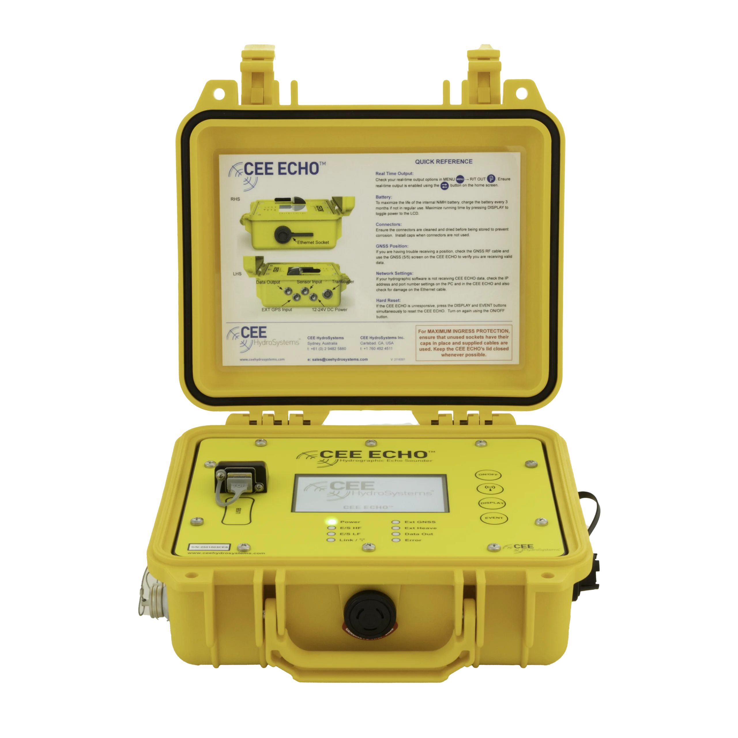
Equipment used

Talk to US
Need a hand with your set-up?
Our engineers answer survey questions every day.