

Case histories › Case history
Case history
CEESCOPE™ gives Canada Pump and Power easy pre-dredge surveys of Alberta effluent ponds
With no echo sounding experience and a tight deadline, Canada Pump and Power used a 33/200 kHz all-in-one CEESCOPE™ to complete urgent pre-dredge surveys of several Alberta tar sands effluent ponds. Pond sludge and water volumes were delivered on time, and CPP now runs Hydromagic in real time on later projects.

At a glance
- Client
- Canada Pump and Power (CPP)
- Location
- Alberta Oil Sands, Canada
- Application
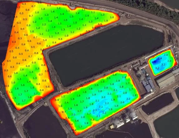
- Pre-dredge bathymetric and volumetric surveys of tar sands mining effluent ponds
- Equipment
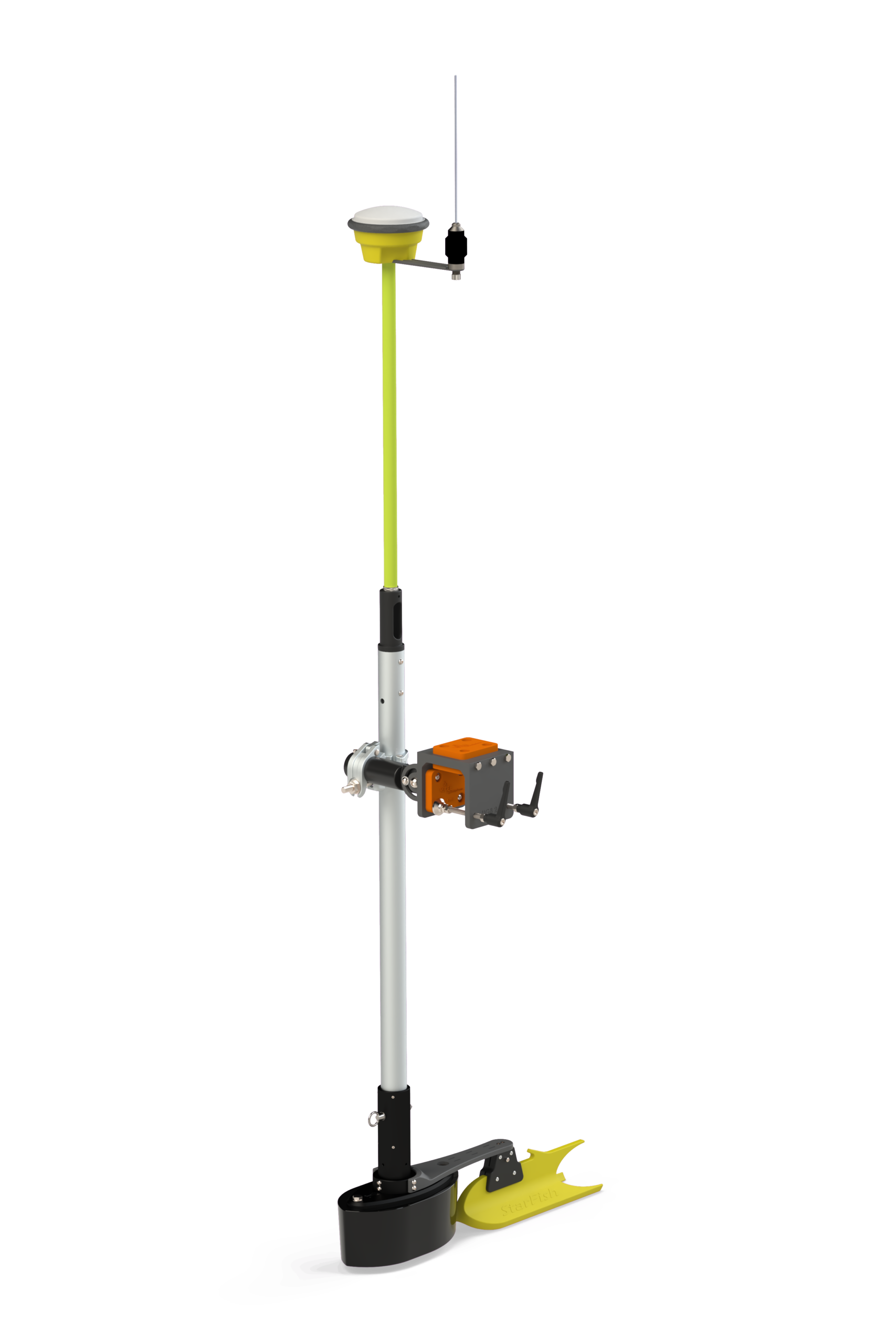
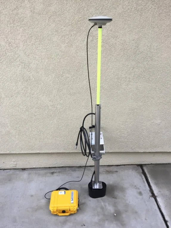
- 33/200 kHz “all in one” CEESCOPE™ on a small inflatable boat with a CEE HydroSystems Universal Mount
- Software
- Eye4Software Hydromagic
About Canada Pump and Power
Canada Pump and Power (AB, Canada) wanted to start bathymetric and volumetric surveys for their clients in support of effluent retention pond dredging projects, but they needed an easy-to-operate system suitable for operators unfamiliar with hydrographic surveying.
The challenge
With no echo sounding experience, Canada Pump and Power (CPP) came to CEE HydroSystems looking for an easy to use system for industrial bathymetry surveys. With a fast approaching deadline for a pre-dredge survey of a shallow contaminated pond in the Alberta Oil Sands, CPP needed an immediate solution.
The requirement was to obtain accurate bathymetry in very shallow water to measure sludge accumulation in an effluent water pond. The survey was needed prior to a program of dredging to maintain capacity in the basin, and to ensure proper estimation and payment for dredge material removal.
The solution
By selecting the 33/200 kHz “all in one” CEESCOPE™ echo sounder, data logging and GNSS system, CPP were able to immediately complete urgent surveys of several tar sands mining effluent ponds.
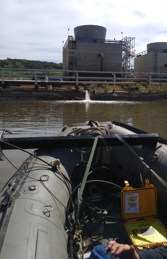
CPP fabricated a custom transducer installation on a small inflatable boat using CEE HydroSystems’ Universal Mount. The dual frequency 33/200 kHz CEESCOPE™ provided bathymetry and position data while powered by its internal battery, keeping cables and components on the boat to a minimum.
The survey
For the first immediate survey, there was not even enough time to learn the real-time hydrographic acquisition software so CPP simply recorded the survey data on the CEESCOPE™ while checking data consistency on the echo sounder display. Later, all data were imported into Eye4Software Hydromagic for editing and product generation.

The results
The CPP bathymetry program got off to a good start, with the pond sludge and water volumes determined on time for the client.
Future projects used Hydromagic software in real time as CPP gathered expertise in various types of industrial water surveys. Project manager Andrew Ambrocichuk of Canada Pump and Power was happy with the result:
“We selected the CEESCOPE to make things easy for our field users, and to minimize downtime and headaches that we perceived might happen with a solution based on several discrete components such as a GPS receiver, laptop, batteries, and an echo sounder. We can start surveying with very little mobilization downtime but the data quality we see is excellent. We decided to invest a little more up front in a high-quality survey system to ensure we did not cut corners on our product quality and QC for our projects.”
Andrew Ambrocichuk, Project Manager, Canada Pump and Power
Planning a similar survey?
Tell us about your site and we’ll recommend the right equipment.
Talk to us →
More from the field
6 Jan 2026
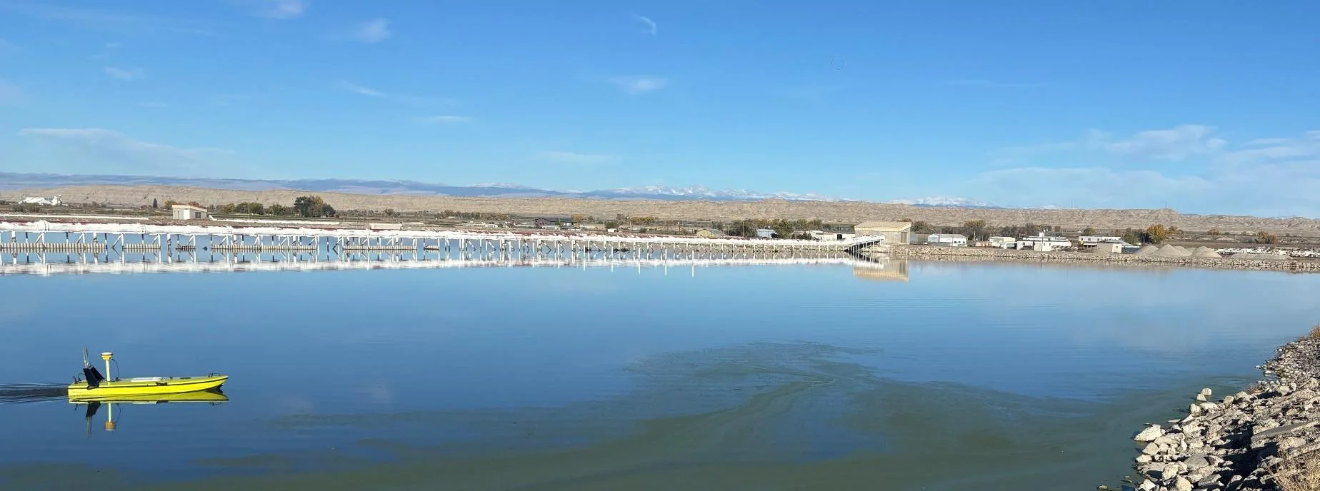
Trimble RTX for accurate wastewater sludge comparison surveys with the CEE-USV™
Team Lab monitors sludge in hundreds of wastewater lagoons with the CEE-USV™. Adding a CEESCOPE™ with Trimble CenterPoint® RTX in 2025 gave about 1 in (2.5 cm) vertical accuracy for the lagoon water level on every survey, so repeat surveys compare sludge volumes accurately without anyone going out on the water.
Team Lab monitors sludge in hundreds of wastewater lagoons with the CEE-USV™. Adding a CEESCOPE™ with Trimble CenterPoint® RTX in 2025 gave about 1 in (2.5 cm) vertical accuracy for the lagoon water level on every survey, so repeat surveys compare sludge volumes accurately without anyone going out on the water.
Read case history →
17 Sep 2023
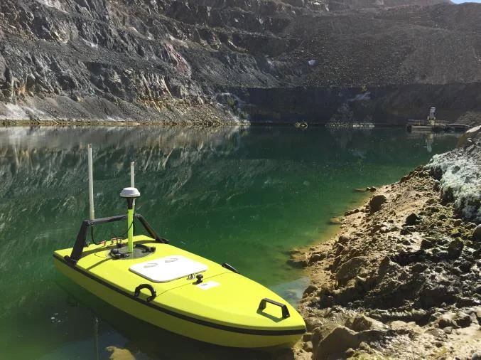
Surveying industrial water with single beam echo sounders and USVs: mine water, frac pits and effluent ponds
How single beam echo sounders and unmanned survey boats are used for industrial water management: reservoir volume, sludge and sediment, and regulatory reporting. Worked examples cover mine tailings storage facilities, frac pits and effluent lagoon dredging.
How single beam echo sounders and unmanned survey boats are used for industrial water management: reservoir volume, sludge and sediment, and regulatory reporting. Worked examples cover mine tailings storage facilities, frac pits and effluent lagoon dredging.
Read case history →
7 Dec 2020
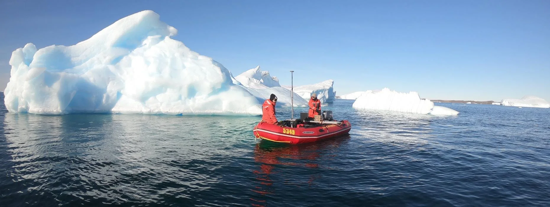
Surveying with the CEESCOPE™ in the coldest place on Earth
An Antarctic survey team completed bathymetry and side scan surveys around Davis Station with no mishaps or equipment problems, using a CEESCOPE™ and CEE-TSF™ StarFish side scan on a very small boat. The data helps assess a proposed concrete runway.
An Antarctic survey team completed bathymetry and side scan surveys around Davis Station with no mishaps or equipment problems, using a CEESCOPE™ and CEE-TSF™ StarFish side scan on a very small boat. The data helps assess a proposed concrete runway.
Read case history →