

Case histories › Case history
Case history
RTK CEESCOPE™ for kayak river bathymetry in the Bhutan E-Flow hydropower project
Bhutanese surveyors, guided by IAMHYDRO GmbH, surveyed rivers for hydropower impact evaluation from kayaks with an RTK CEESCOPE™. Its autonomous logging and shallow water bottom tracking coped with aerated white water, and the bathymetry was merged with land and drone survey data into a 3D model of the rivers.
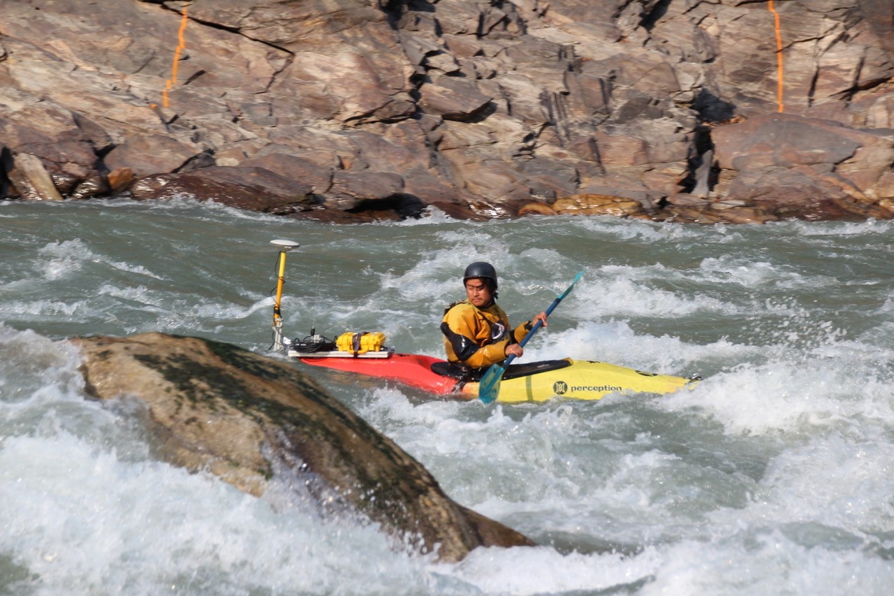
Equipment used

At a glance
- Client
- E-Flow Bhutan project, National Environmental Commission, Bhutan (with IAMHYDRO GmbH, Germany)
- Location
- Rivers in Bhutan
- Application
- River bathymetry cross sections for hydropower impact evaluation
- Equipment
- RTK CEESCOPE™ “all in one” echo sounder with a 200 kHz transducer, deployed from kayaks
- GNSS and software
- Trimble R10 local base station, HYPACK®, Hydromagic
- Output
- Bathymetry merged with land survey and drone photogrammetry into a 3D representation of the rivers
About the E-Flow Bhutan project
Bhutanese surveyors conducted river bathymetry measurements for hydro power impact evaluations, assisted and guided by expert hydrographic consultant Christian Haas of IAMHYDRO GmbH, Germany.
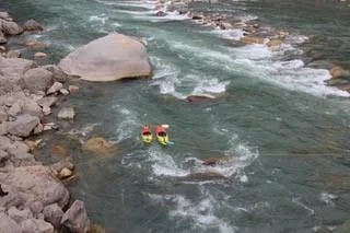
The E-Flow Bhutan project is a development aid project that aims to study various rivers with existing and future hydropower plants. Operated by the National Environmental Commission, Bhutan, the project focuses on the “Environmental-Flow” or “E-Flow” which is the amount of water necessary to ensure a sustainable river ecosystem in the dewatered stretches of the rivers.
For IAMHYDRO, a key element was showing the Bhutanese partners methods to conduct such studies themselves. With a huge potential of hydropower in the country, environmental assessments are an important requirement for future projects. The project focus in Bhutan was on fish; the Bhutanese want to develop sustainable hydropower in the country as they are aware of their environment and endemic species. The main fishes affected by hydropower are the local Snow Trout and Golden Mahseer as well as Brown Trout.
The challenge
Understanding the topography around the river and also the bathymetry is required to generate a digital terrain model for computer modeling as part of the overall hydrological assessment.
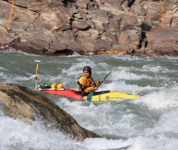
The extreme conditions meant that the CEESCOPE’s exceptional shallow water bottom tracking was tested to the limit, with water column aeration a constant challenge.
The solution
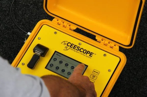
Upon reviewing available technology, IAMHYDRO recommended CEE HydroSystems “all in one” CEESCOPE echo sounder system for the Bhutan surveys owing to its autonomous logging capability – required for kayak deployment – and shallow water performance.
The RTK variant was selected to minimize vulnerable cables and components and allow direct connection to the Trimble R10 local base station for site control.
The survey
River cross sections were conducted from kayaks with a 200 kHz transducer at the rear of the boat. The CEESCOPE control unit was strapped to the kayak and all data were recorded on the internal memory for subsequent upload into HYPACK and Hydromagic software.
The CEESCOPE automatically records optimized data files containing all position, sounding, and water column information, providing a dataset identical to real time acquisition.
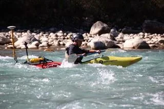
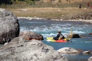
Aeration and blinding of the sonar was unavoidable, however the surveyors ensured coverage was maximized with the expectation that much of the data would be thinned out to remove artifacts from the extreme environment.
First, HYPACK® software was used by CEE HydroSystems to post process the bathymetry portion of the collected data. HYPACK and Hydromagic were used to provide visualization.
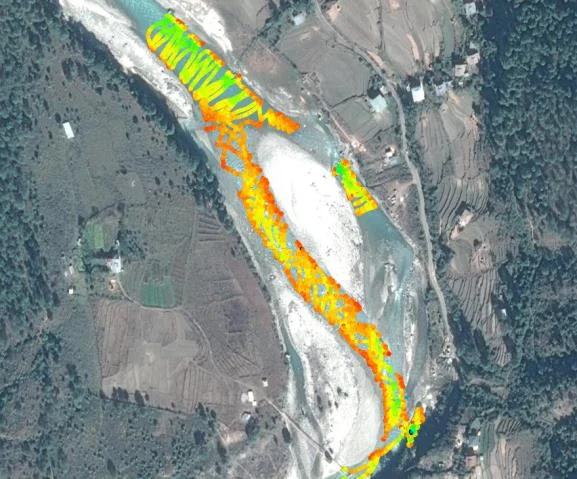
Topography of the survey area was gathered using traditional land survey measurements and aerial drone photogrammetry surveys. The entire dataset was merged to provide a 3D representation of the rivers surveyed.
The results
CEE HydroSystems were pleased to be able to support the bathymetry element of the project, and many thanks to Christian Haas, IAMHYDRO for photographs and case history details.
To see the surveyors in action, watch the video.
Planning a similar survey?
Tell us about your site and we’ll recommend the right equipment.
Talk to us →
More from the field
6 Jan 2026
Trimble RTX for accurate wastewater sludge comparison surveys with the CEE-USV™
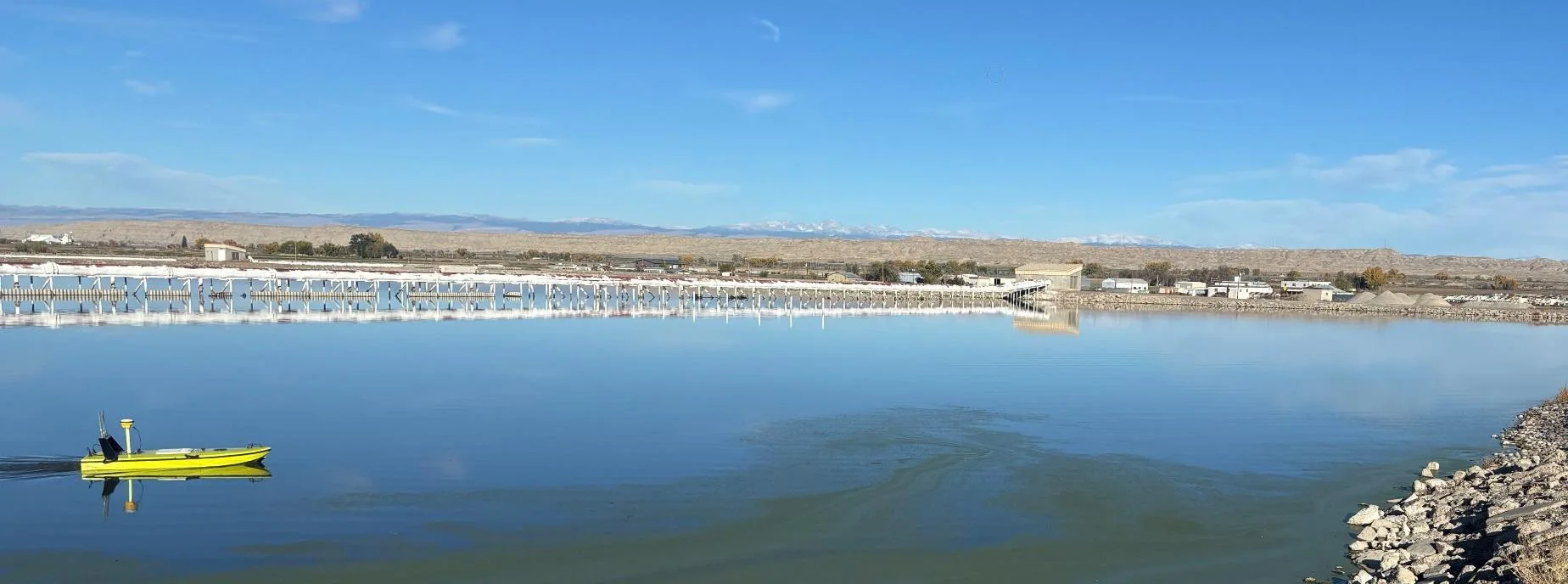
Team Lab monitors sludge in hundreds of wastewater lagoons with the CEE-USV™. Adding a CEESCOPE™ with Trimble CenterPoint® RTX in 2025 gave about 1 in (2.5 cm) vertical accuracy for the lagoon water level on every survey, so repeat surveys compare sludge volumes accurately without anyone going out on the water.
Team Lab monitors sludge in hundreds of wastewater lagoons with the CEE-USV™. Adding a CEESCOPE™ with Trimble CenterPoint® RTX in 2025 gave about 1 in (2.5 cm) vertical accuracy for the lagoon water level on every survey, so repeat surveys compare sludge volumes accurately without anyone going out on the water.
Read case history →
17 Sep 2023
Surveying industrial water with single beam echo sounders and USVs: mine water, frac pits and effluent ponds
How single beam echo sounders and unmanned survey boats are used for industrial water management: reservoir volume, sludge and sediment, and regulatory reporting. Worked examples cover mine tailings storage facilities, frac pits and effluent lagoon dredging.
How single beam echo sounders and unmanned survey boats are used for industrial water management: reservoir volume, sludge and sediment, and regulatory reporting. Worked examples cover mine tailings storage facilities, frac pits and effluent lagoon dredging.
Read case history →
7 Dec 2020
Surveying with the CEESCOPE™ in the coldest place on Earth
An Antarctic survey team completed bathymetry and side scan surveys around Davis Station with no mishaps or equipment problems, using a CEESCOPE™ and CEE-TSF™ StarFish side scan on a very small boat. The data helps assess a proposed concrete runway.
An Antarctic survey team completed bathymetry and side scan surveys around Davis Station with no mishaps or equipment problems, using a CEESCOPE™ and CEE-TSF™ StarFish side scan on a very small boat. The data helps assess a proposed concrete runway.
Read case history →