

Case histories › Case history
Case history
CEE ECHO™ and CEESCOPE™ used for USGS waterborne resistivity surveys
USGS scientists surveyed nearly 900 km of river for a groundwater study, towing a resistivity array with a CEESCOPE™ then a CEE ECHO™ and Hemisphere ATLAS L-Band GNSS. One acquisition process gave water column height, position and 20 cm PPP elevation with no base station.
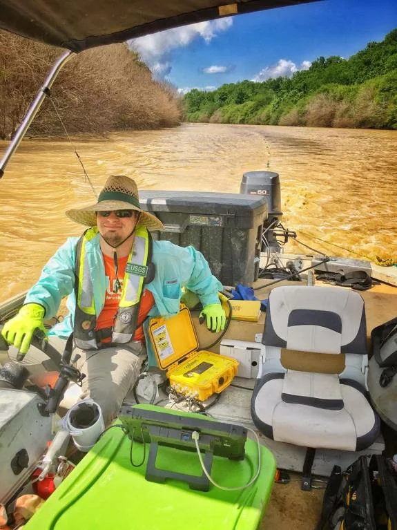
Equipment used
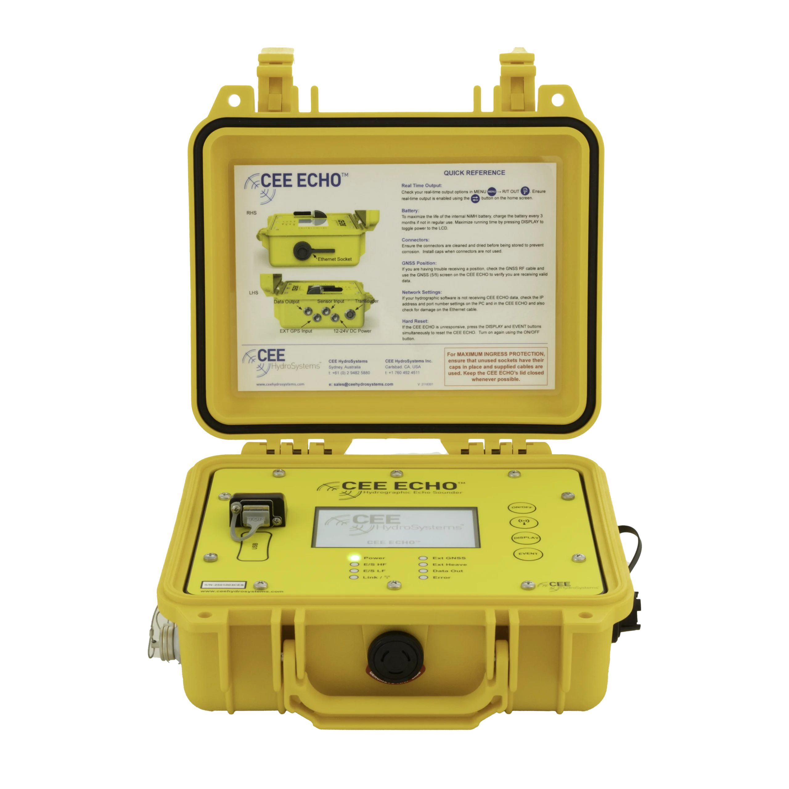
At a glance
- Client
- United States Geological Survey (USGS), Lower Mississippi-Gulf Water Science Center
- Location
- Nashville, Tennessee (office); rivers in the South West USA
- Application
- Waterborne resistivity surveys for a regional groundwater model
- Equipment
- CEESCOPE™ (rented trial), then CEE ECHO™
- GNSS and software
- Hemisphere ATLAS L-Band GNSS, Eye4Software hydrographic acquisition
- Survey date
- 2017
About the USGS survey program
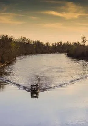
USGS hydrographers from the Lower Mississippi-Gulf Water Science Center in Nashville, Tennessee undertook an extensive field program in 2017 to monitor continuous resistivity profiles along nearly 900 km (550 miles) of river reaches. Rivers surveyed included the Yazoo River, Floodway River, Sunflower River and Black River.
The resistivity data were used to investigate streambed hydraulic conductivity, with the goal of calibrating a regional groundwater model with focus on the interactions between surface and ground water.
The challenge
To measure resistivity, USGS scientists towed a multi electrode array that measures the voltage potential while transmitting a known current between electrodes spaced a known distance apart. This potential may be used to investigate groundwater below the river bottom.
Meanwhile, the river water column height must be measured continuously using a survey echo sounder, and all measurements need to be geo-referenced with a GPS system on the survey boat.
Two important features were needed from the echo sounder and positioning system:
- Simultaneous multiple outputs, to Eye4Software hydrographic acquisition software for a real time bathymetry display and directly to the resistivity equipment.
- Decimeter-precise elevation measurements to monitor the water height relative to an absolute datum over the reach.

The solution
To first test the CEE equipment, the USGS used a rented CEESCOPE™ “all in one” echo sounder to provide the depth and position data they needed. This was later replaced by a dedicated CEE ECHO™ with a Hemisphere GNSS ATLAS Smart Antenna supplied by CEE.
Using an RTK GNSS for centimeter-precise elevation would have been difficult over such a large survey area and would have added logistical complexity. As decimeter-grade elevation precision was adequate for the goals of the field work, the TerraStar L-Band signal available in the CEESCOPE and later the Hemisphere ATLAS L-Band signal was used for water surface height monitoring.
The L-Band systems both offer a Precise Point Positioning (PPP) 20cm-accurate elevation measurement. Corrections signals are received from one of two equatorial satellites covering the USA, through the standard GNSS antenna with no requirement for a base station. The PPP approach was an ideal solution for the USGS study.
The CEE equipment further simplified the field instrument setup by incorporating the positioning data into the echo sounder survey data in a single data acquisition process.
The results
~900 km(550 miles) of river reach investigated
20 cmPPP elevation accuracy, no base station needed
1data acquisition process for sounding and position
While the hydrographic survey-quality bathymetric precision of the CEE ECHO (and CEESCOPE) echo sounders was not a critical factor in the USGS study, ease of use, reliability and advanced connectivity were key factors. With a substantial mobilization requirement and weather limitations, the USGS required a robust and easy-to-operate system.
The CEE approach offered simplicity in operation and met the special requirements for flexibility in data output required for the resistivity equipment.
Planning a similar survey?
Tell us about your site and we’ll recommend the right equipment.
Talk to us →
More from the field
6 Jan 2026
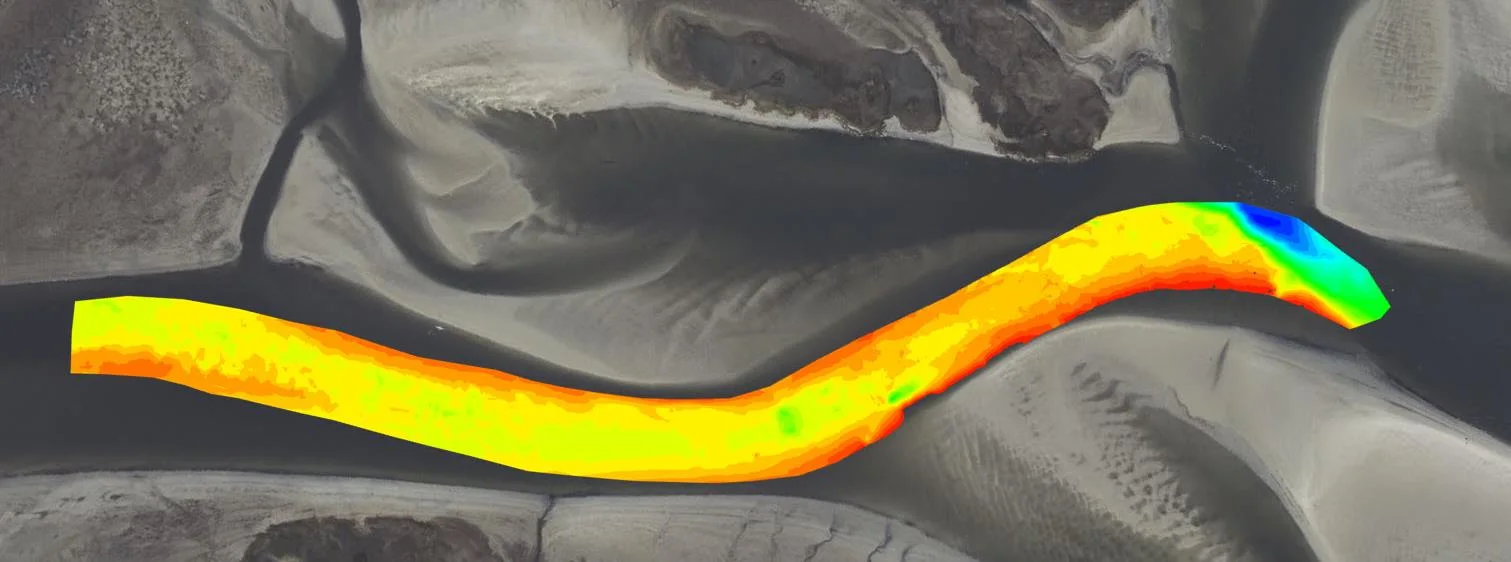
Dredging contractor brings surveys in-house with the CEE ECHO™ and Hydromagic
ACT Marine, a New England dredging contractor, uses a CEE ECHO™ with Hydromagic for its own QC and pre-final clearance surveys. The system sets up in 20 minutes, its results match the third-party survey, and projects are accepted on the final survey without costly post cleanup.
ACT Marine, a New England dredging contractor, uses a CEE ECHO™ with Hydromagic for its own QC and pre-final clearance surveys. The system sets up in 20 minutes, its results match the third-party survey, and projects are accepted on the final survey without costly post cleanup.
Read case history →
13 Nov 2025
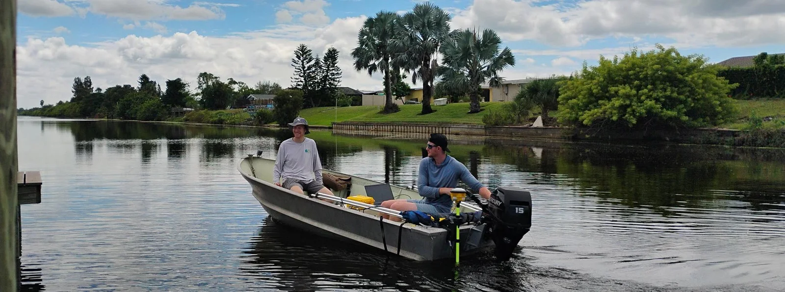
Blue Arc Engineering halves fieldwork on dock permit surveys with the CEE ECHO™ and Hydromagic
Blue Arc Engineering in Fort Myers, Florida swapped manual range pole and GNSS depth surveys for a CEE ECHO™ with Hydromagic and its existing Trimble R780. Fieldwork that would have taken a full day was cut in half, and the bathymetric product followed within days.
Blue Arc Engineering in Fort Myers, Florida swapped manual range pole and GNSS depth surveys for a CEE ECHO™ with Hydromagic and its existing Trimble R780. Fieldwork that would have taken a full day was cut in half, and the bathymetric product followed within days.
Read case history →
10 Dec 2024
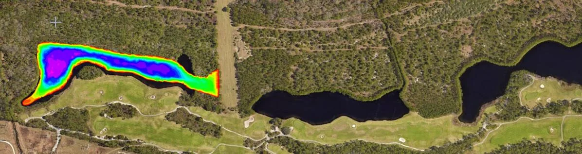
AOI Solutions surveys a hurricane-hit construction pond with the CEE ECHO™ and Hydromagic
AOI Solutions surveyed a Daytona Beach retention pond, hit by hurricane Helene inflow and active backfilling, in 3 hours with a CEE ECHO™ and Hydromagic. An edited RTK-grade bottom surface reached the client three hours later, and the echograms showed both the sediment level and the original pond bottom.
AOI Solutions surveyed a Daytona Beach retention pond, hit by hurricane Helene inflow and active backfilling, in 3 hours with a CEE ECHO™ and Hydromagic. An edited RTK-grade bottom surface reached the client three hours later, and the echograms showed both the sediment level and the original pond bottom.
Read case history →