The perfect partner for your survey GNSS
CEE ECHO™
Single Beam Echo Sounder
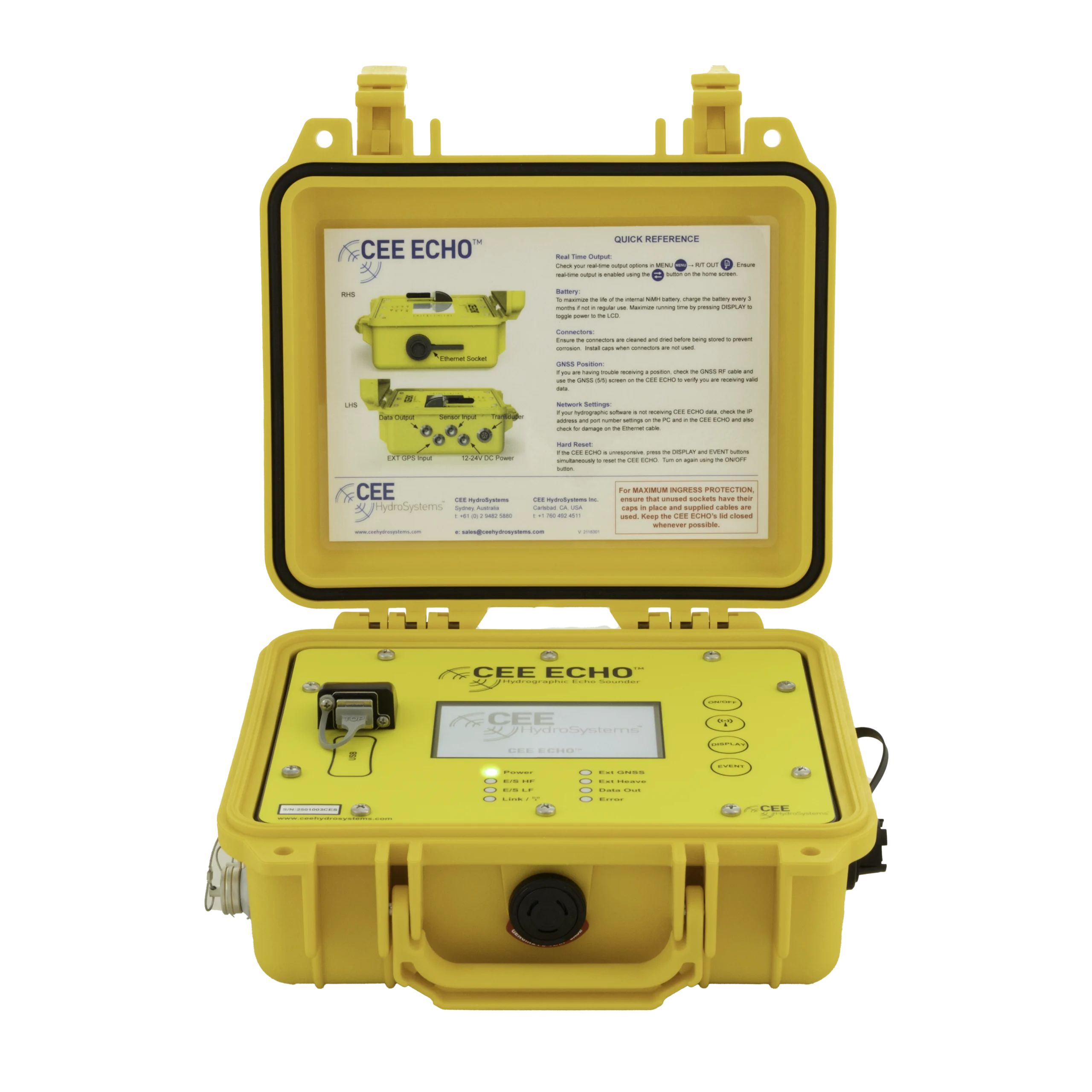
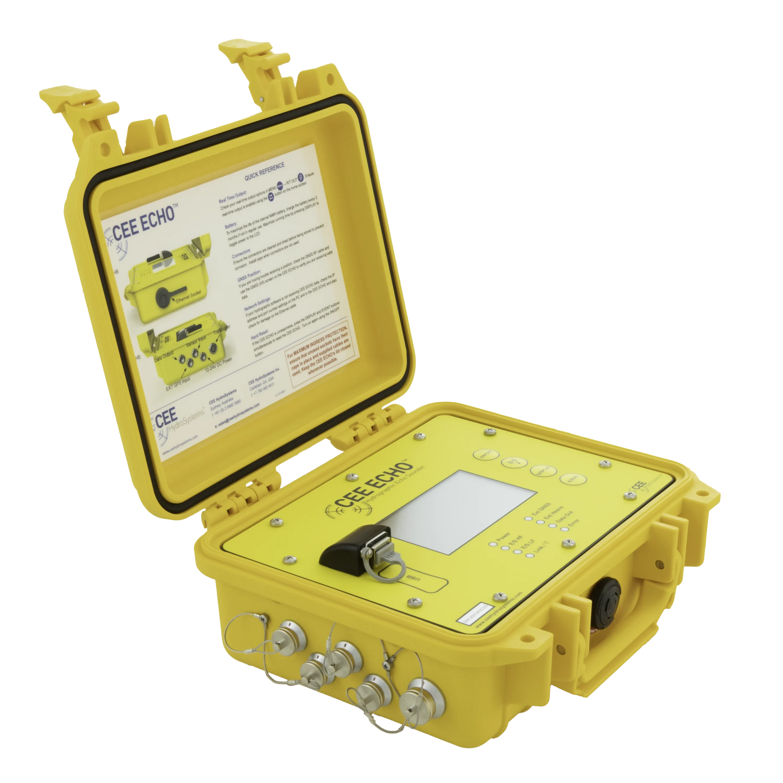
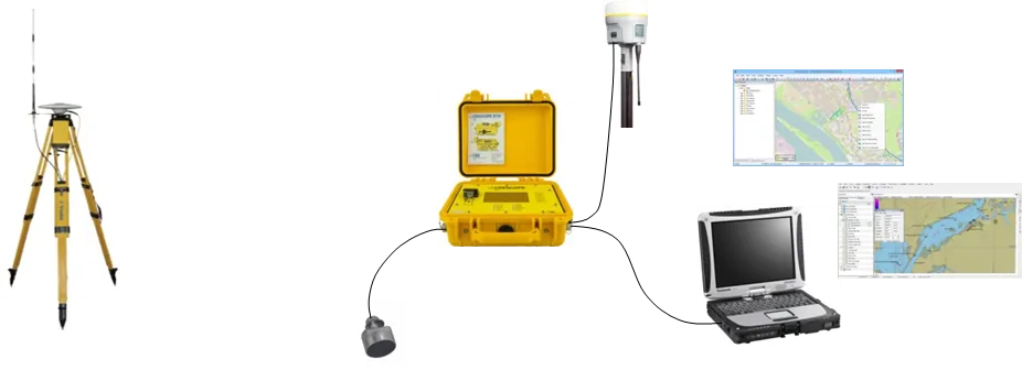
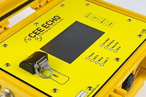
The CEE ECHO™ is a complete survey single beam echo sounder in one IP67 case. It has 200 kHz sonar that you can upgrade to dual frequency, a 10-hour internal battery, 128 GB of internal logging and a 4.3″ touchscreen. Connect your own GNSS receiver by cable or Bluetooth, and depth and position are merged and time-stamped inside the unit.
30 Hz
Ping rate
3200
Samples per ping echogram
10 hrs
Internal battery
IP67
Waterproof case
128 GB
Internal logging
Use your GNSS
The CEE ECHO™ takes position from the receiver you already have and time-stamps it with every sounding. No second GNSS to buy, no new workflow to learn.
0
new GNSS
Any
NMEA receiver
See the real bottom
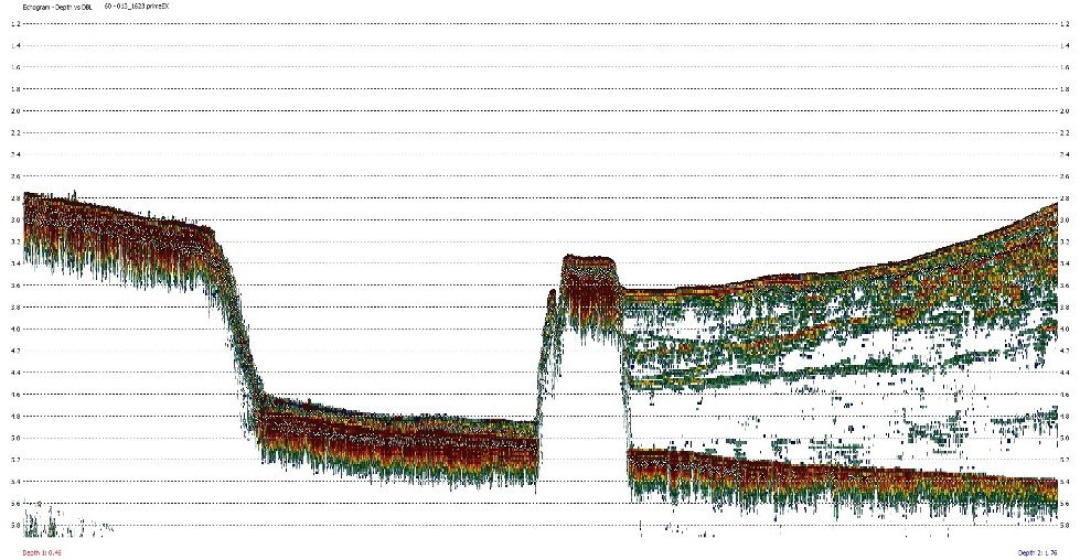
A full 3200-sample echogram at up to 30 Hz, with a dual frequency option that reads through soft sediment to the true bottom.
30 Hz
ping rate
1 cm
resolution
All day surveying
The internal battery runs a whole survey day, and every sounding is logged inside the unit as well as in your software, so nothing is lost.
10 h
battery
128 GB
logging
Ready for any boat
A sealed portable case with its own touchscreen. It can also power a Wi-Fi access point or camera over PoE, so there’s one less battery on board.
IP67
sealed
3.5 kg
weight
Applications
Any boat, any survey.
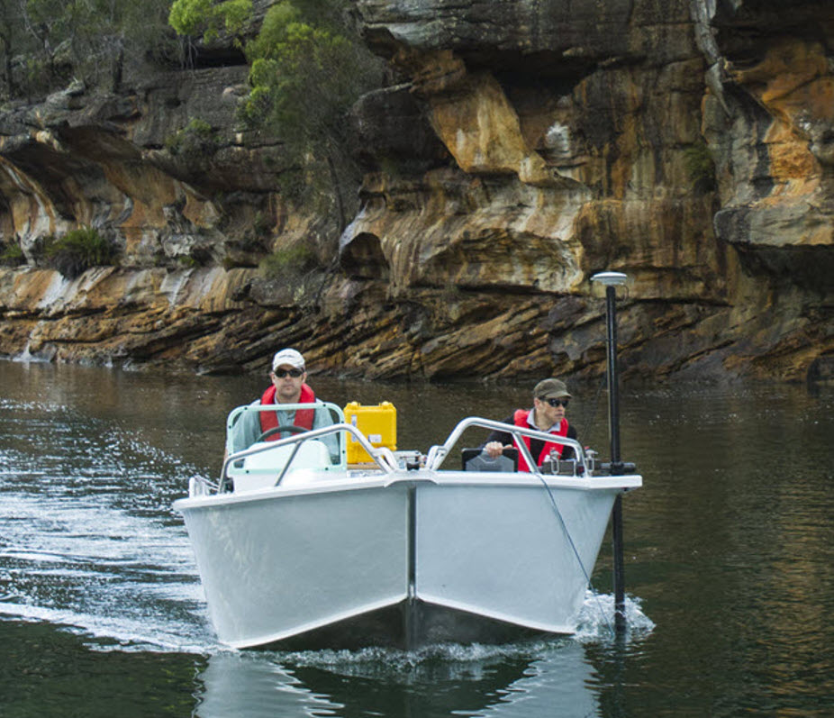
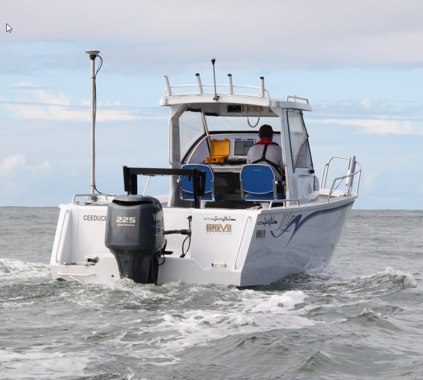
For USVs, kayaks, open boats and dedicated survey launches, press POWER, connect your GNSS and survey.
Talk to us about your site →
Dredging & marine construction
Verify grade in-house and clear dredge work with confidence, with results that match the third-party survey.
Land surveyors on the water
Use your existing GNSS receiver to replace slow manual soundings with a full hydrographic dataset, even on small permitting jobs.
Vegetation & habitat mapping
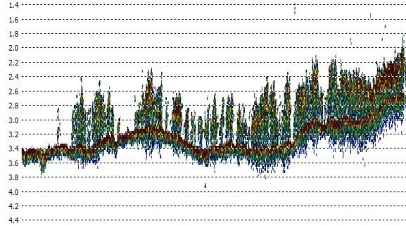
The echogram separates the vegetation canopy from the true bottom for eelgrass and aquatic plant surveys.
Lagoons & very shallow water
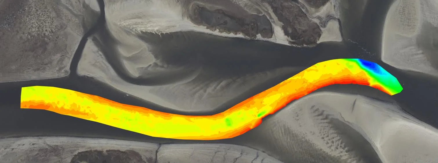
Map shallow lagoons and channels, even with the boat barely floating above the bottom.
Mining & process water
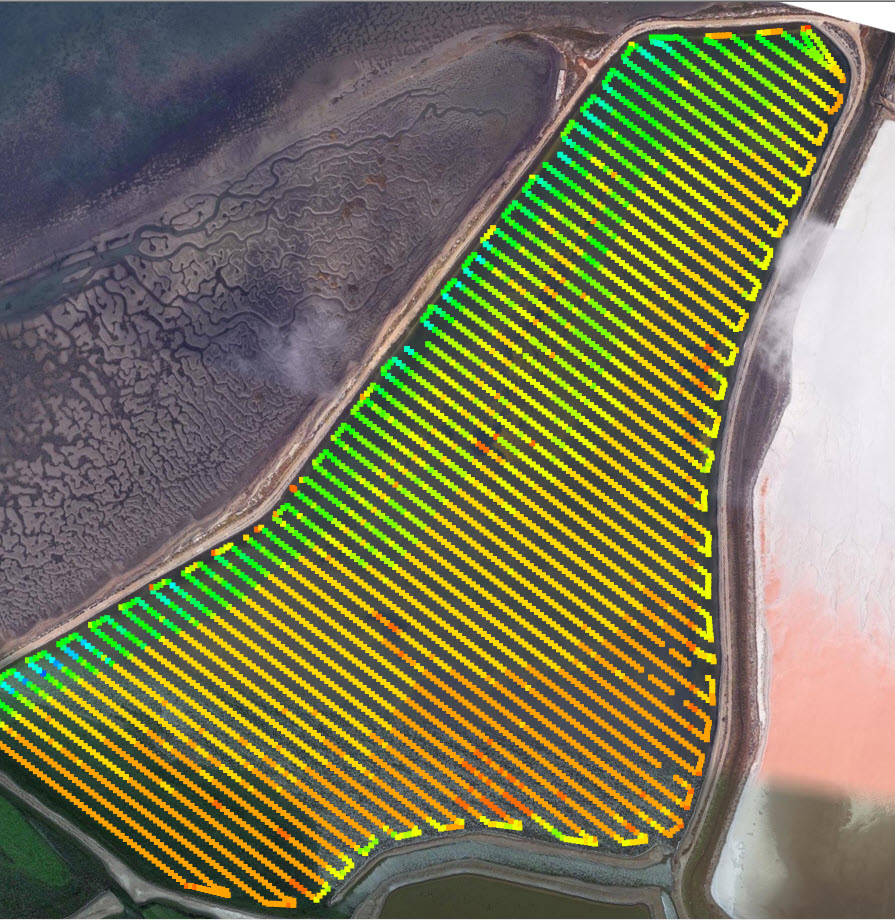
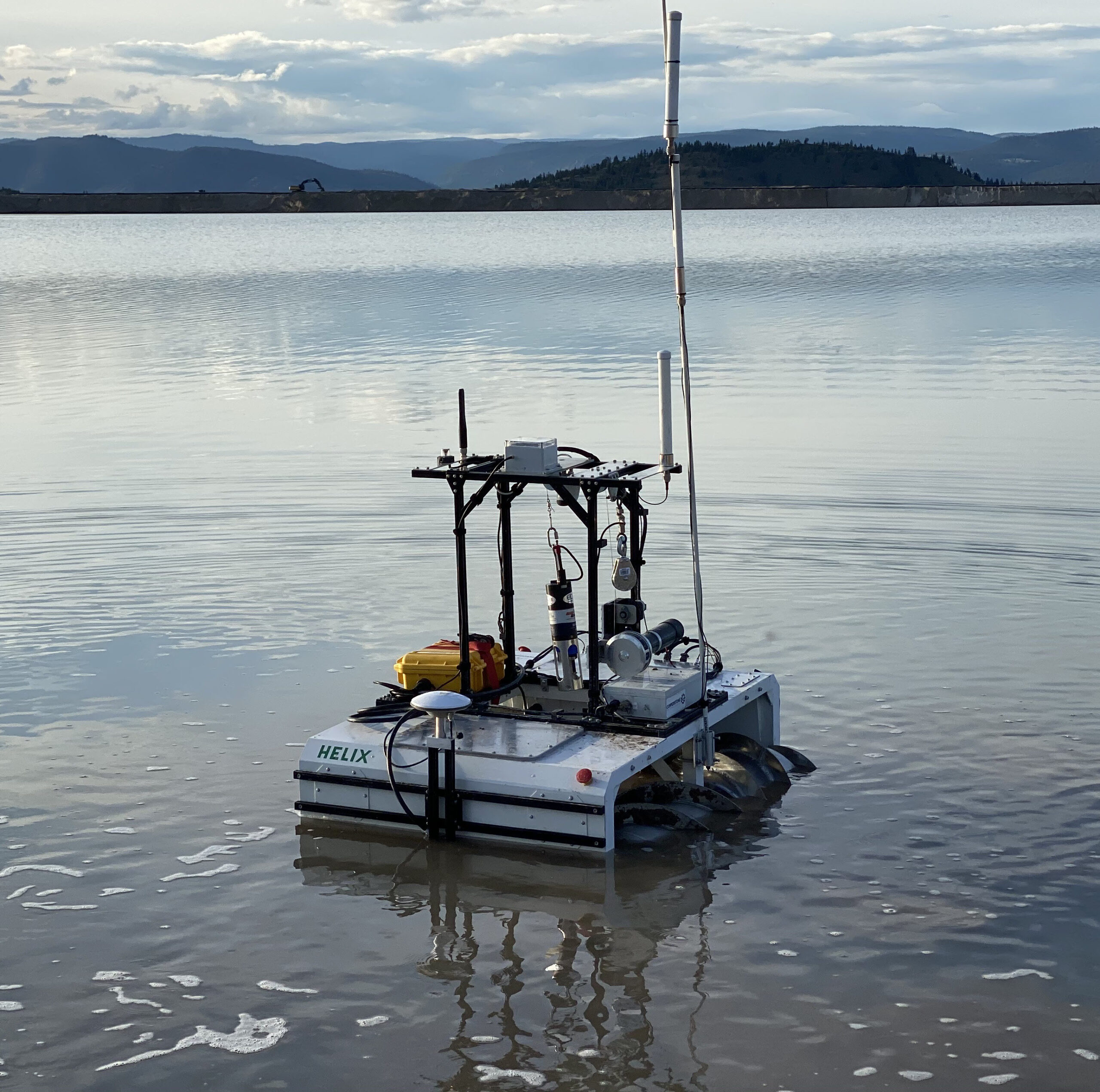
Survey tailings impoundments and process-water ponds from a USV or survey robot, where access is hard.
Rivers & research
Output to acquisition software and other instruments at the same time, for river and reservoir science.
Case histories
Proven on real surveys
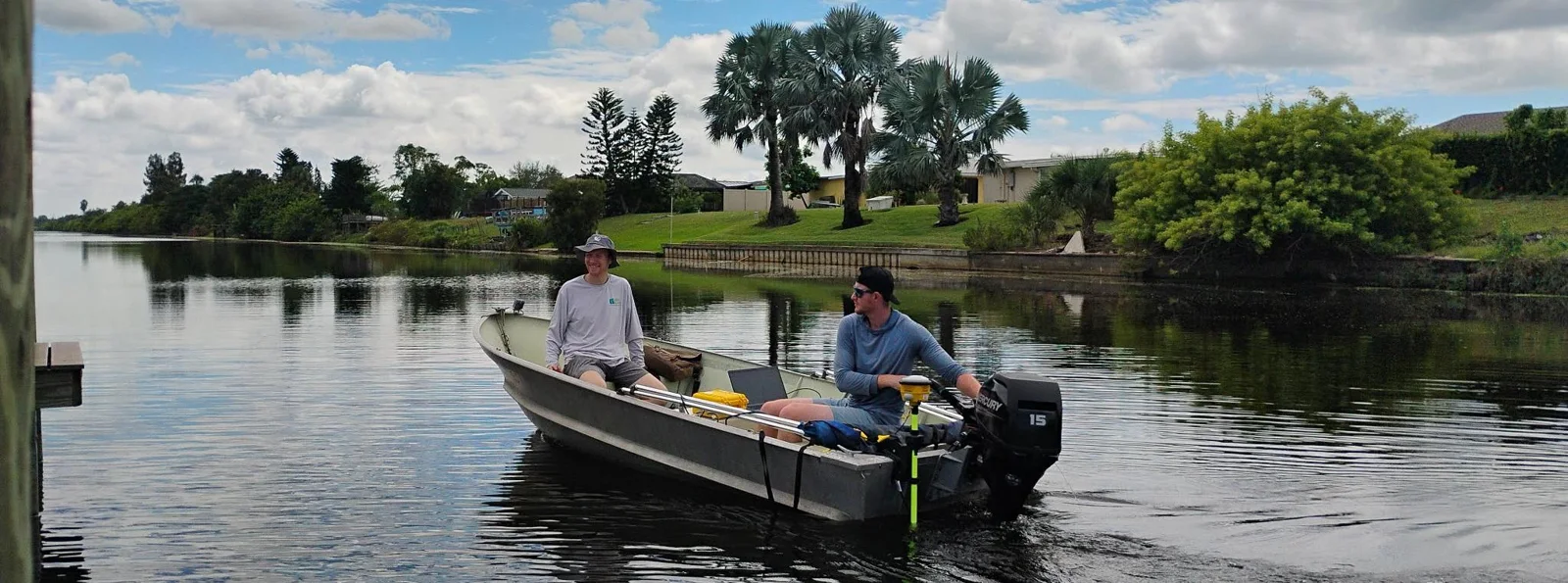
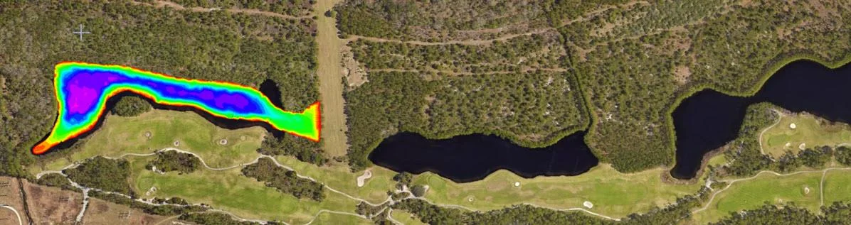
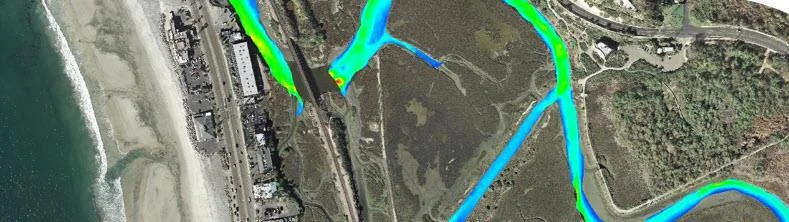
Learn more
Why surveyors choose CEE ECHO™
Simplify your surveys, simplify your data — without sacrificing hydrographic data quality.
01 / Why the echogram
Trust your data: see it in high definition
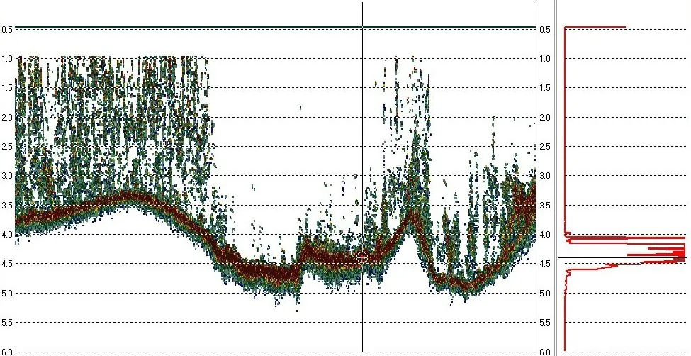
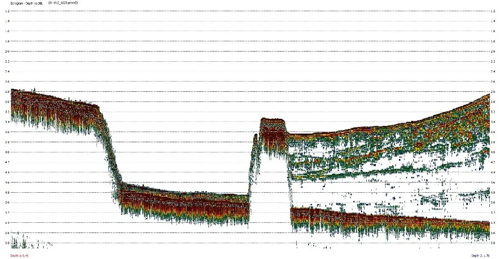
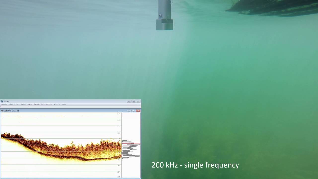
The CEE ECHO™ records a full water column echogram with every ping, in real time and for processing. Unlike “digital depth” echo sounders, you can see vegetation, debris and soft sediment and be sure every sounding is on the true bottom; single or dual frequency.
Full water column echogram in HYPACK®, Hydromagic and BeamworX
Separate the vegetation canopy from the true bottom
Auto, Shallow Auto or Manual bottom tracking
3200
samples per ping
30 Hz
ping rate
See the detail
Configure your system
Build your CEE ECHO™
Choose single or dual frequency and your transducer, then the mounting hardware for your boat.
1
Step 1 · Frequency
Single or dual frequency?
Every CEE ECHO™ has both channels inside: activate the low frequency now, or add it later with a field firmware update.
Standard
Single frequency
200 kHz
Frequency
190 – 210 kHz
Depth range
0.15 – 200 m (0.5 – 656 ft)
Transducers
SS510, SS549
Upgrade
Dual frequency
Soft or disturbed sediment
Frequencies
200 kHz + 22 – 36 kHz
Depth range (LF)
0.75 – 200 m (2.5 – 656 ft)
Activation
At the factory, or in the field from a USB drive
Single or dual frequency? See the buying guide
2
Step 2 · Transducer
Choose your transducer
Standard, narrow beam and dual frequency survey transducers, with brackets to suit 50 mm / 2″ tubes or 5/8″ survey poles.
General surveys · single frequency
SS510
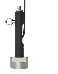
Frequency
200 kHz
Beam width
8°
RMS power
500 W
Cable length
9 m (30 ft)
Weight
1.3 kg (3 lbs)
Engineering surveys · single frequency
SS549
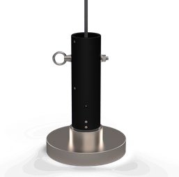
Frequency
200 kHz
Beam width
3°
RMS power
3 kW
Cable length
10 m (33 ft)
Weight
5.5 kg (11.6 lbs)
Dual frequency · 200 / 33 kHz
M163
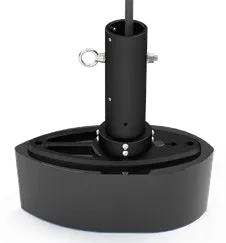
Frequency
200 / 33 kHz
Beam width
8° / 19°
RMS power
500 W / 1 kW
Cable length
11 m (36 ft)
Weight
9 kg (19.8 lbs)
Dual frequency · compact
M195
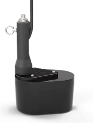
Frequency
200 / 33 kHz
Beam width
8° / 25°
RMS power
500 W / 500 W
Cable length
11 m (36 ft)
Weight
3.6 kg (8 lbs)
Broadband · 200 / 24 / 33 kHz
M563
Frequency
200 / 24 / 33 kHz
Beam width
4° / 24° / 19°
Already have a transducer?
Bring your own
Connection
LEMO 2K 6-pin
Talk to us
Send us the make and model and we’ll confirm it works
Dual frequency (200 / 22–36 kHz) gives greater penetration through loose sediment, sludge and silt.
3
Step 3 · Mounting
Mounting hardware
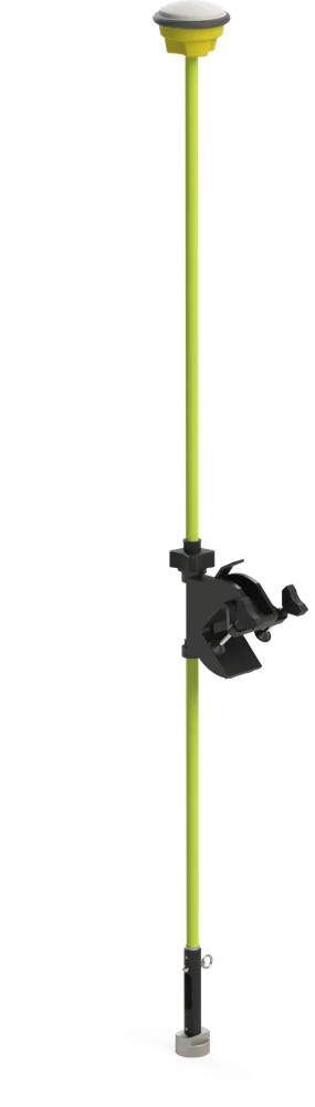
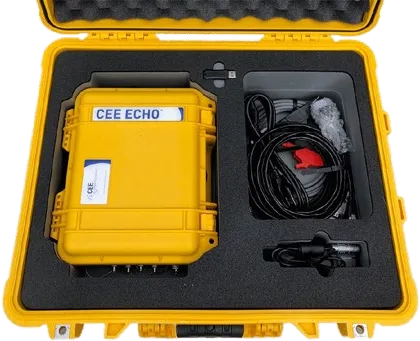
The basics to put the transducer and GNSS antenna on one pole over the side of the boat, in a heavy duty or a lightweight series, plus transit cases to carry it all. Tell us about your boat and we’ll suggest the right kit.
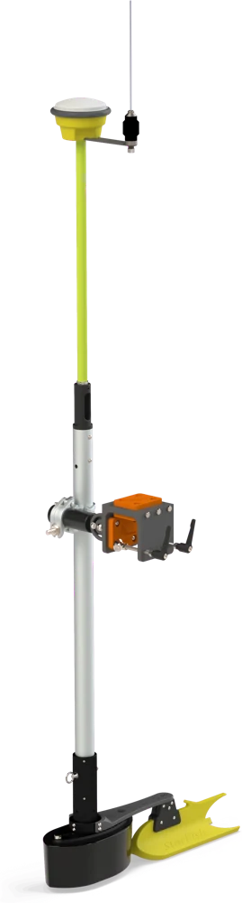
2″ (50 mm) pole series
Heavy duty series
The Universal Gunwale Bracket with a 2″ aluminium pole and transducer bracket. Tilt adjustable, with extension kits for wider gunwales.
5/8″ survey pole series
Lightweight series
Light weight and durable, for quick and easy assembly on a variety of small water craft.
Travel ready
Transit cases
Rugged hard cases for the CEE ECHO™ and its transducer, so the whole kit travels protected.
Product videos
See the CEE ECHO™ at work
See more videos

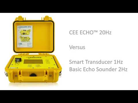
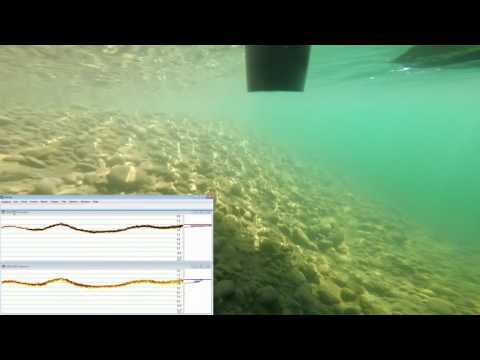
CEE ECHO™ and CEESCOPE™ versus Basic Echo Sounder: Get the …
Obtain Defensible Data: See what Really Lies Below
Extreme Shallow Water Performance: Gopro Surveying With A 33/200khz Echo …
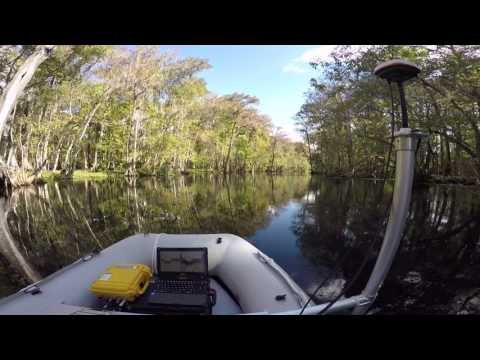
The Dual Frequency CEE ECHO™ Surveying Silver Springs, Ocala Florida …
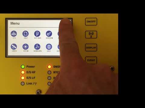
Onboard GNSS Data Viewer for CEESCOPE™ and CEE ECHO™
Specifications
The numbers that matter
Headline specs below. Open the full list for connections, transducers and user interfaces.
Physical
Dimensions
30 × 25 × 13.8 cm (L × W × D) · 11.81 × 9.84 × 5.43 in
Weight (typ)
3.5 kg (7.7 lbs)
Environmental
Operating range
0°C – 50°C (32°F – 122°F)
Humidity
95% non-condensing
Ingress protection
IP67
Power
Power consumption
6.0 W typical, approx. 10 hours operating time
Internal battery
Rechargeable, high-capacity NiMH 10 Ah
External power supply
Nominal 12 VDC @ 2 A (9 – 30 VDC range)
Transmit power
172 W RMS (200 kHz and 22 – 36 kHz)
Antenna voltage output
5 VDC
Data logging and output
Internal logging
128 GB drive
External logging
USB-A drive
Real-time output
RS-232, Bluetooth or Ethernet to a connected device
Echogram
3200 spp full water column acoustic envelope (Ethernet)
Compatible software
HYPACK, Hydromagic, Qinsy, Beamworx
Output formats
NMEA GGA, VTG, DBS, DBT · ODOM SBT / DBT · ATLAS DESO 25
Echo sounder
Operating modes
Auto, Shallow Auto, Manual
Depth range (HF 200 kHz)
0.15 – 200 m (0.5 – 656 ft)
Depth range (LF 22–36 kHz)
0.75 – 200 m (2.5 – 656 ft)
Ping rate
1 – 30 Hz, depth dependent
Frequency range (HF)
190 – 210 kHz
Frequency range (LF)
22 – 36 kHz
Accuracy
1 cm ± 0.1% of depth
Depth resolution
1 cm
Pulse length
HF 1 – 35, LF 1 – 30 cycles
TVG options
None, LOG 10, LOG 20
Manual gain
30 – 100%
Sound velocity range
1350 – 1750 m/s (4,429 – 5,741 ft/s), 1 m/s resolution
Transducer draft setting
0 – 10 m (1 cm increments)
Transducer index offset
0 – 10 m (1 cm increments)
Manual detection threshold
1 – 50%
Blanking range (HF)
0.07 – 5 m (0.23 – 16.4 ft)
Blanking range (LF)
0.5 – 10 m (1.6 – 32.8 ft)
Request A Quote
Loading the quote form…