
Survey software you can learn in a day
Hydromagic
Hydrographic survey software
Easy-to-learn single beam survey software, with dedicated CEESCOPE™, CEE ECHO™, and CEE-LINE™ drivers with advanced integrated CEE-USV™ autopilot control.

Product Overview
Survey software you can learn in a day.
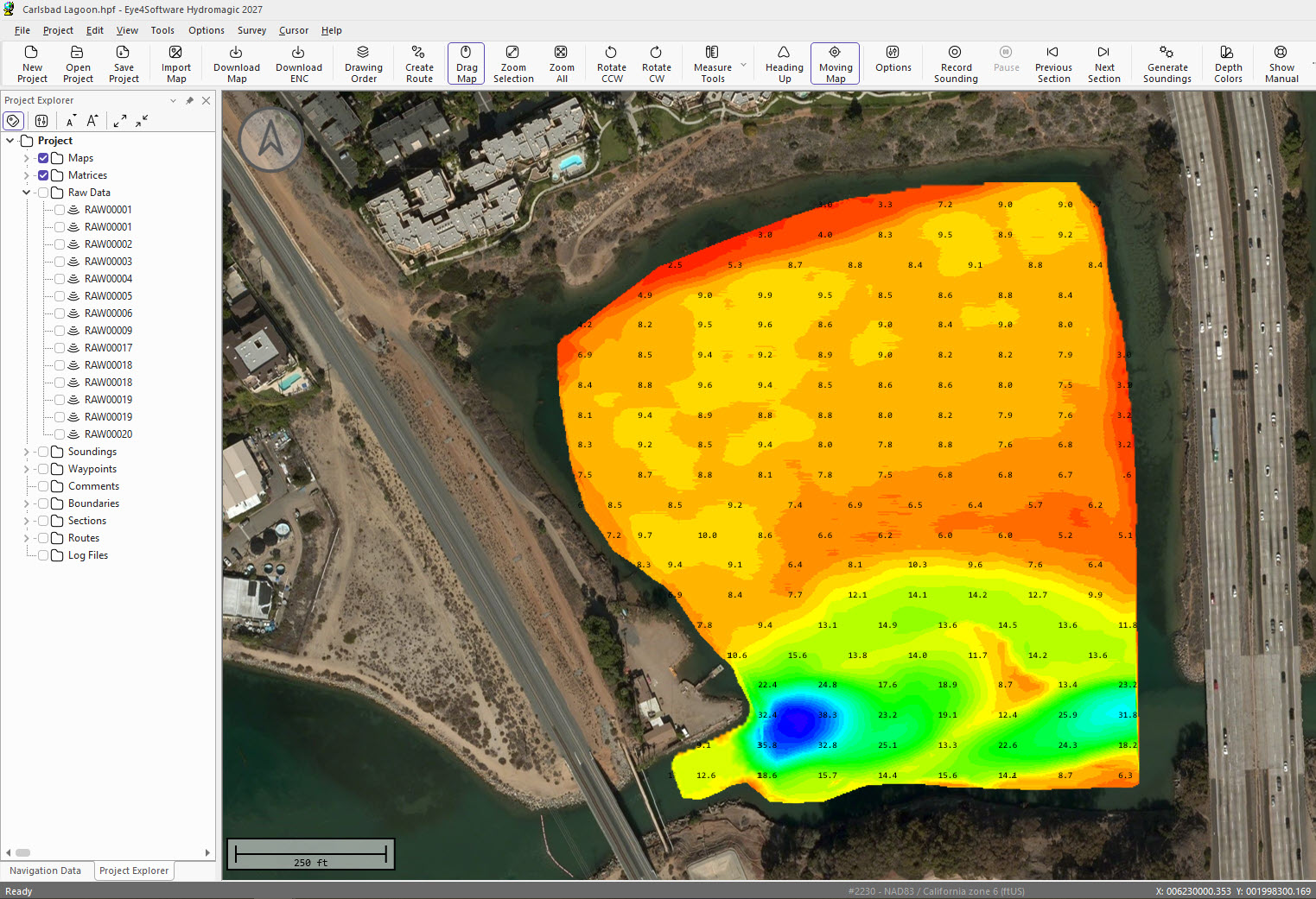
Hydromagic from Eye4Software is a single beam hydrographic survey package for collecting, editing and exporting bathymetry. It’s affordable and intuitive — most settings are a right-click away and everything runs from one main view — so new users are surveying quickly. Select the CEESCOPE™ or CEE ECHO™ in the equipment menu and the settings load for you.
Applications
From storage ponds to ports.
Hydromagic covers the single beam jobs our customers do most.
Talk to us about your site →
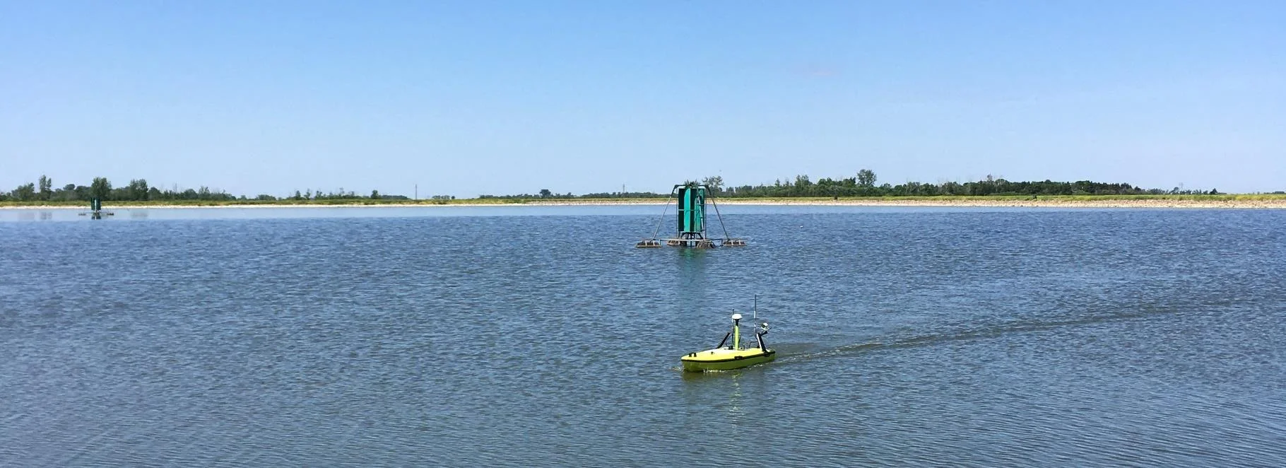
Storage ponds & dams
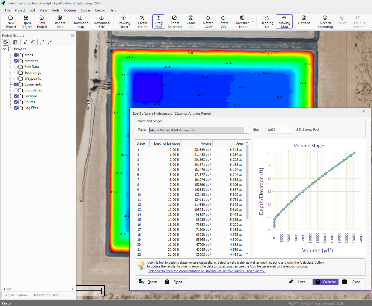
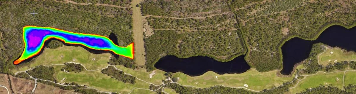
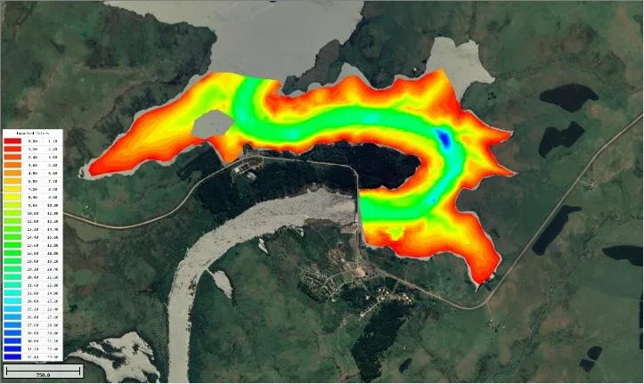
Map water storage and turn it into a water level versus volume strapping chart.
Mining & quarries
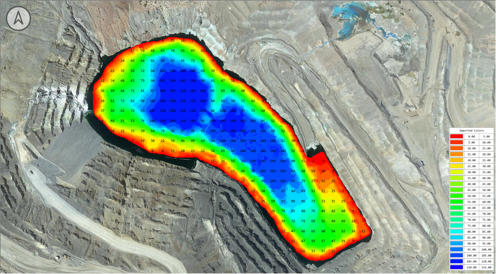
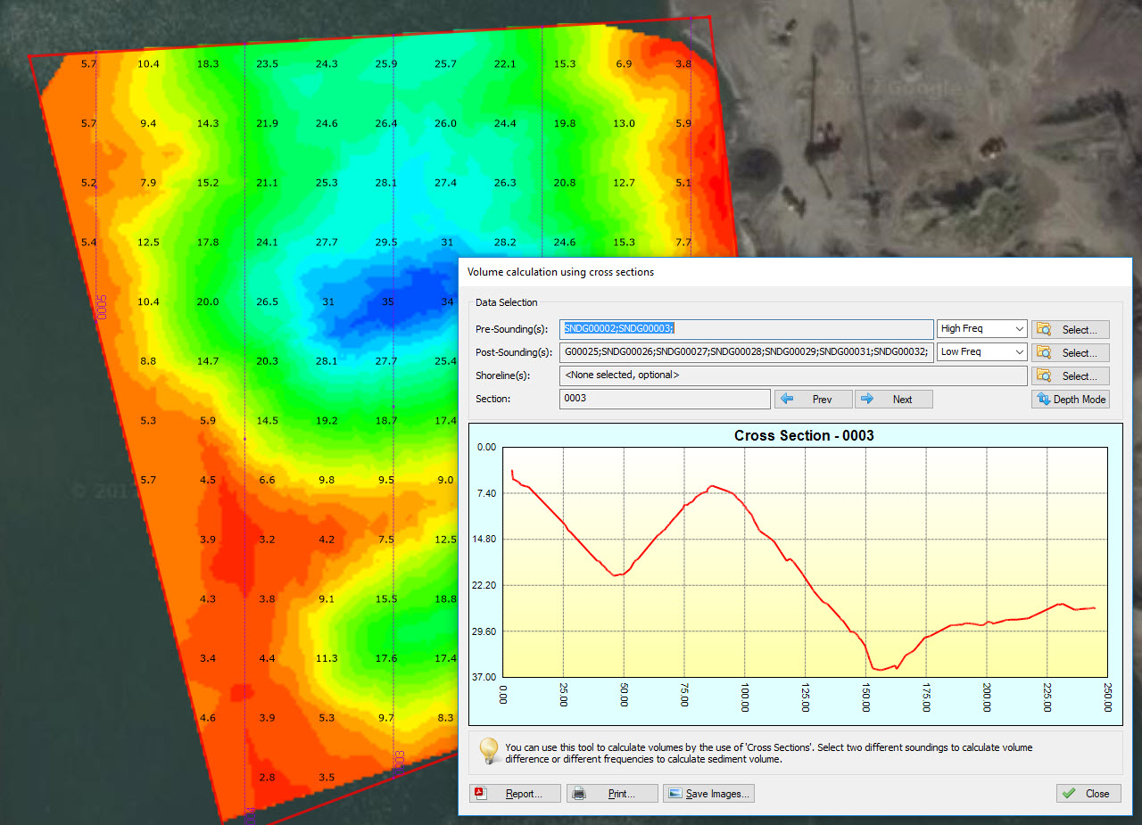
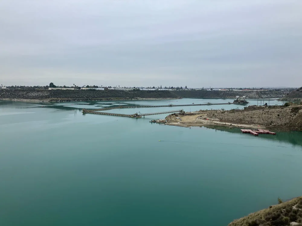
Survey tailings dams and flooded pits, then calculate volumes and cross sections.
Ports & channels
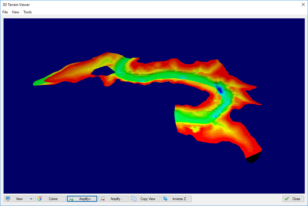
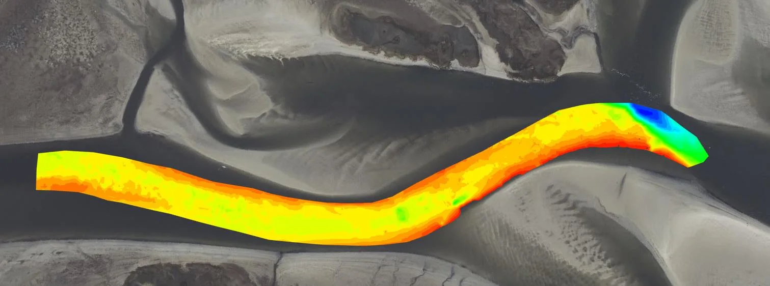
Check depths along berths and channels before and after dredging.
Lakes & reservoirs
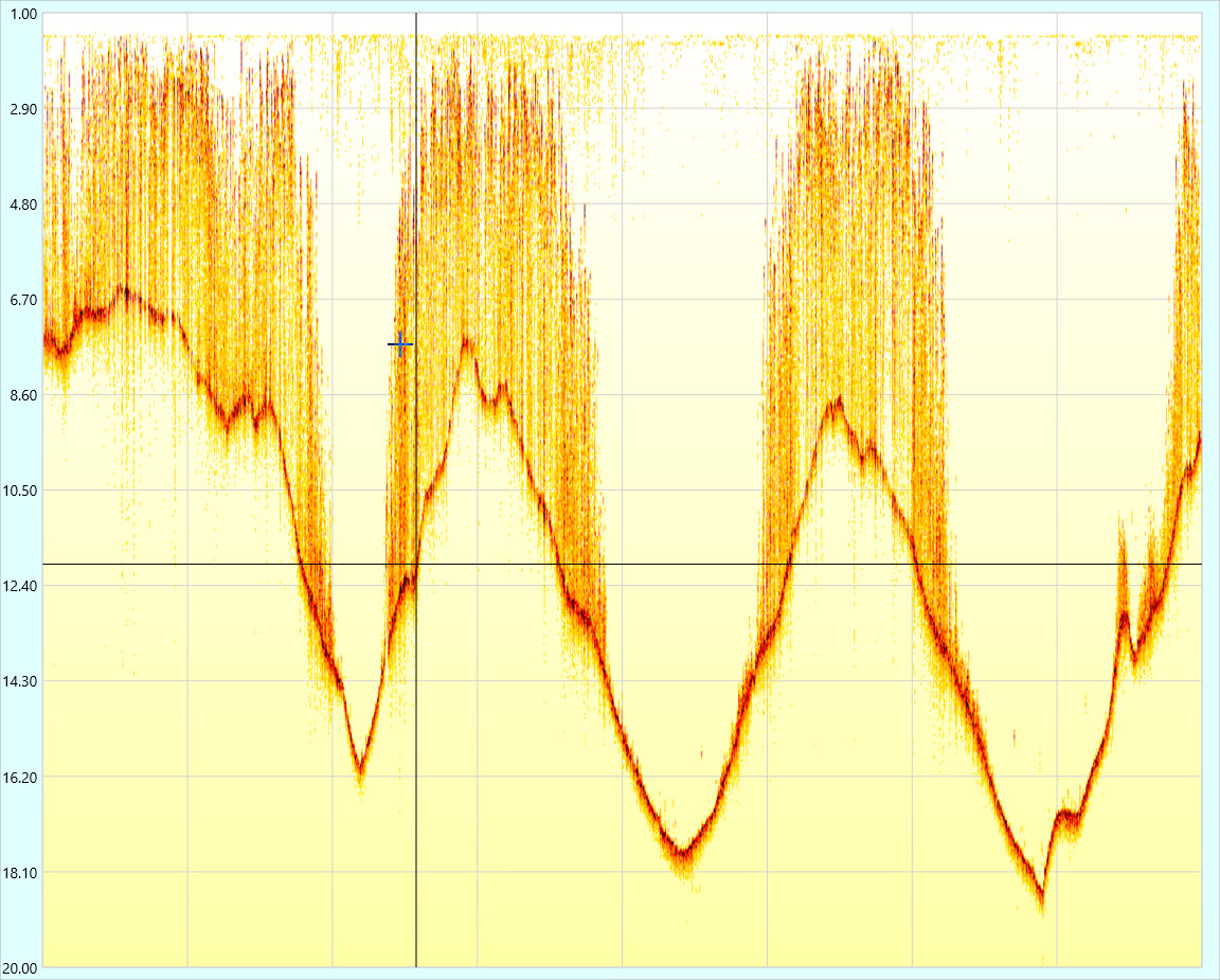
Record the echogram to see soft sediment and aquatic vegetation, not just the depth.
USV surveys
Control Dynautics SPECTRE and ArduPilot autopilots from inside Hydromagic.
Dredge monitoring
Hydromagic Dredging adds dredge monitoring on the same platform.
Case histories
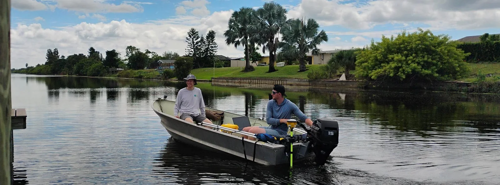
Proven on real surveys
Learn more
Why surveyors choose Hydromagic
Easy to pick up, with the tools to take a survey from the boat to a finished volume report.
01 / Easy to use
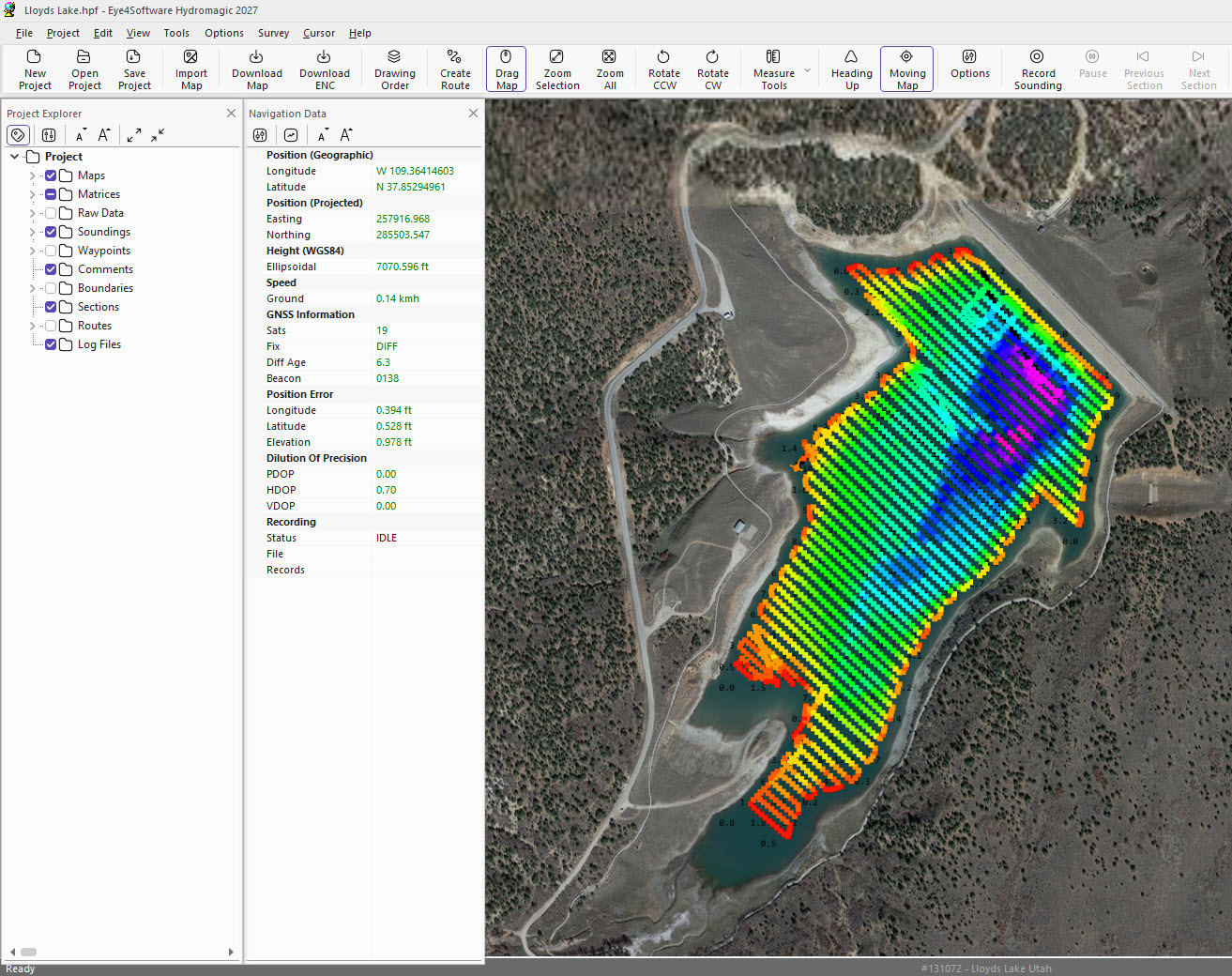
Everything on one screen
Hydromagic shows GNSS and sounding data, the vessel track and colour-coded soundings in a single window. Load survey lines and a cross-track error indicator helps you steer down each line.
One-click map download for the survey area
Over 5000 predefined datums and grids
RTK tides using geoid models
5000+
datums & grids
2 hrs
online training to get started
See the detail
Get started
Build your Hydromagic system
Choose the licence, pair it with a CEE echo sounder, and we’ll help you get going.
1
Step 1 · Licence
Which Hydromagic?
Survey covers acquisition, editing and final products. Dredging adds dredge monitoring.
Survey & processing
Hydromagic Survey
Quick to learn
Acquisition
Single and dual frequency, with echogram
Processing
Editing, TIN matrices, contours, volumes
USV
SPECTRE and ArduPilot autopilot control
Platform
Windows
Dredge monitoring
Hydromagic Dredging
Ask us for details
Adds
Dredge monitoring and equipment configuration
Combine
Add a Survey licence to a Dredging package
Platform
Windows
2
Step 2 · Echo sounder
Pair it with a CEE system
Dedicated drivers built with Eye4Software load the settings for you.
Echo sounder + GNSS
CEESCOPE™
Driver
Dedicated CEE driver
Data
Depth, position and echogram
Best for
All-in-one survey system
Echo sounder
CEE ECHO™
Driver
Dedicated CEE driver
Data
Depth and echogram
GNSS
Your own NMEA 0183 receiver
Autonomous survey
CEE-USV™
Autopilot
SPECTRE or ArduPilot
Control
Arm, change mode, alarms
Data
Time-stamped over telemetry
Hydromagic also supports most NMEA 0183 GNSS and RTK receivers, motion sensors, total stations and other brands of echo sounder.
3
Step 3 · Support
Set up and supported
CEE has experienced Hydromagic users on hand for training and troubleshooting.
TRAIN
Startup training
In person training covering single beam surveying basics with CEE HydroSystems gear and Hydromagic
HELP
Technical support
Integration and troubleshooting help from us
DEMO
Try it first
Free Hydromagic demo available from Eye4Software
KB
Knowledge base
Step-by-step survey notes for CEE HydroSystems echo sounders and Hydromagic
Product videos
See the Hydromagic at work
See more videos

Hydromagic V10 Training Video 2 Setup and Acquisition
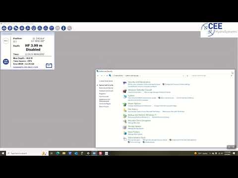
CEE Training Video Configuring the Network Connection
Specifications
At a glance
Hydromagic at a glance. Open the full list for maps, export formats and system requirements.
Software
Developer
Eye4Software B.V., the Netherlands
Current version
Hydromagic 11
Packages
Hydromagic Survey, Hydromagic Dredging
Platform
Windows
Sold worldwide since
2011
CEE equipment
CEESCOPE™
Dedicated CEE driver
CEE ECHO™
Dedicated CEE driver
CEE-LINE™
Depth and 1600-sample echogram over USB
CEE data format
RAW soundings, BIN echogram, time stamps
Echogram
Up to 3200 samples per ping
CEE-USV™
SPECTRE or ArduPilot autopilot control
Acquisition
GNSS
Most NMEA 0183 GNSS and RTK receivers
Tide
RTK (with geoid models) or manual
Motion
Heave, pitch and roll correction
GNSS quality
GST position error display and alarm
Navigation
Survey lines with cross-track error
Processing
Editing
Sounding and echogram editing, filters
Corrections
Tide and sound velocity
Gridding
TIN matrices
Volumes
Volumes, cross sections, strapping charts
Request A Quote
Loading the quote form…