

Case histories › Case history
Case history
Blue Arc Engineering halves fieldwork on dock permit surveys with the CEE ECHO™ and Hydromagic
Blue Arc Engineering in Fort Myers, Florida swapped manual range pole and GNSS depth surveys for a CEE ECHO™ with Hydromagic and its existing Trimble R780. Fieldwork that would have taken a full day was cut in half, and the bathymetric product followed within days.
At a glance
- Client
- Blue Arc Engineering, Inc
- Location
- Fort Myers, Florida, USA
- Application
- Residential dock and waterway depth surveys for regulatory permitting
- Equipment
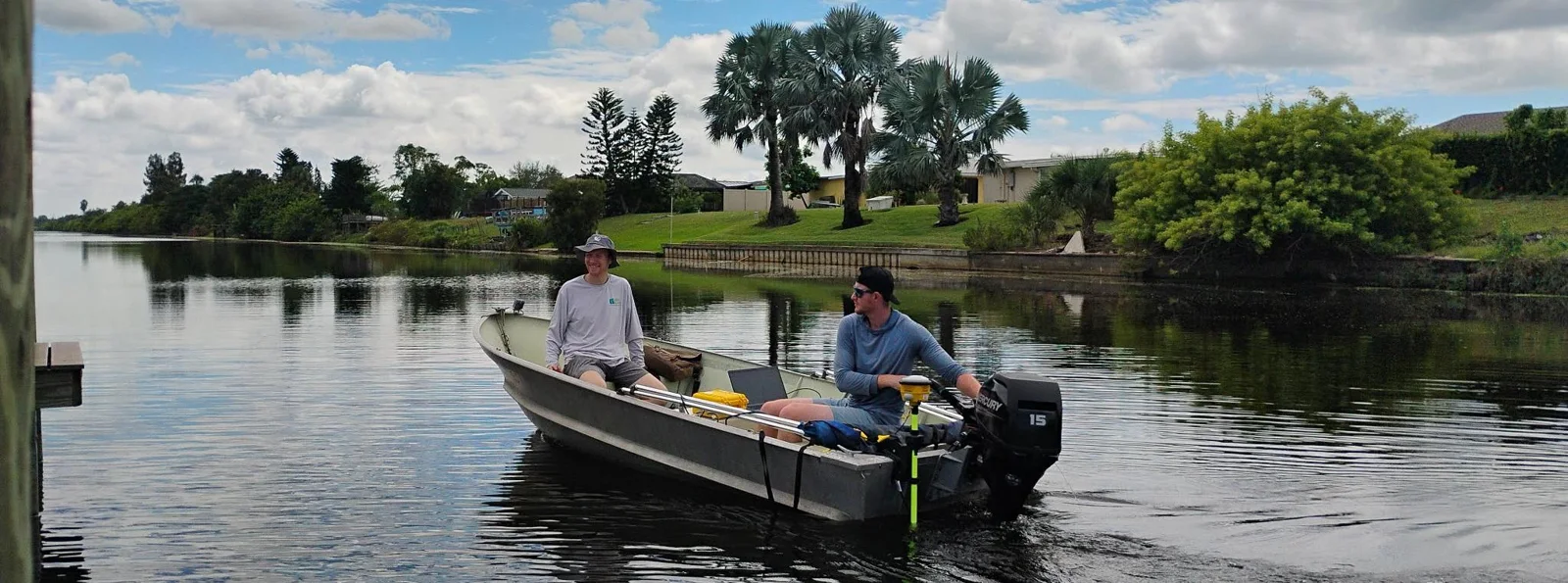
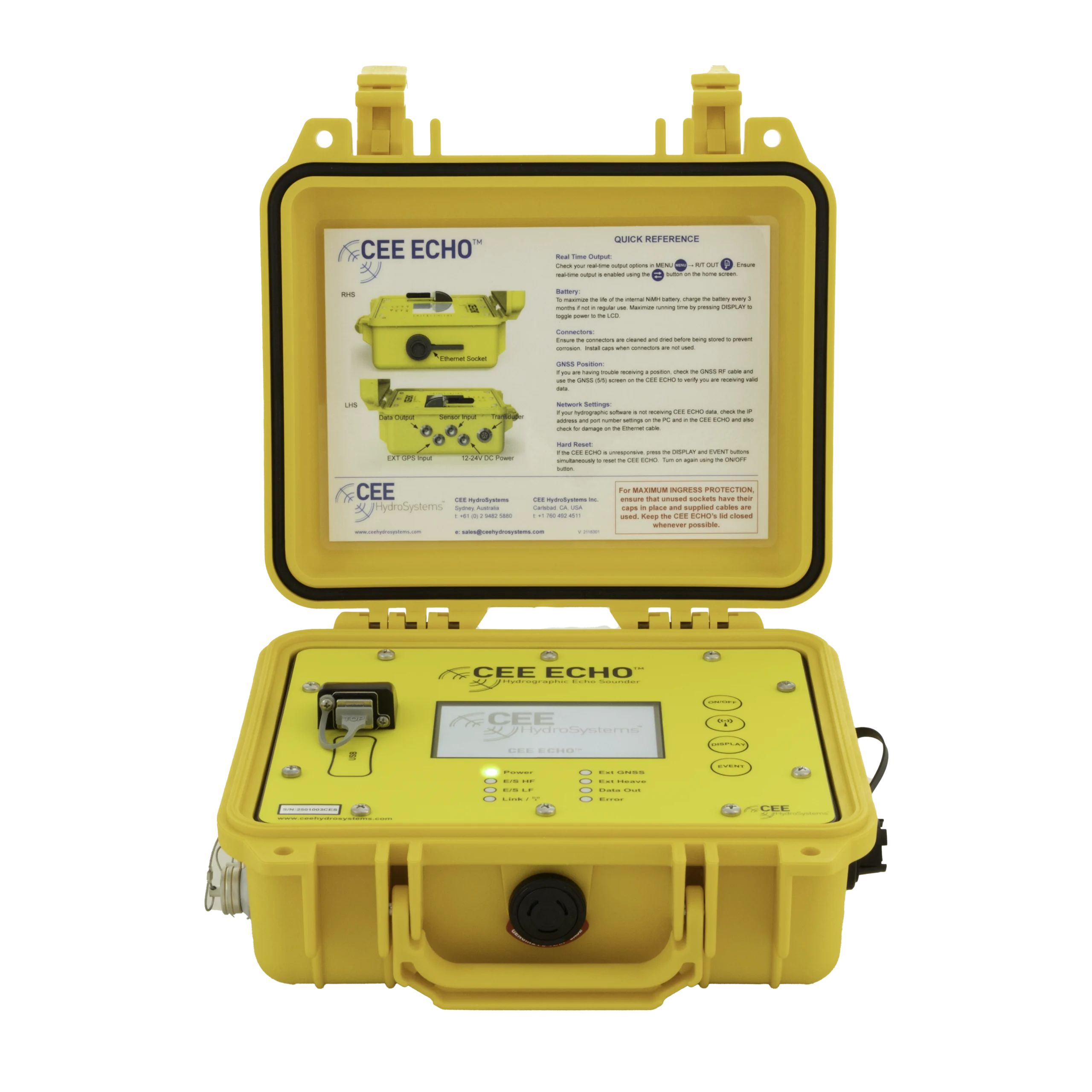
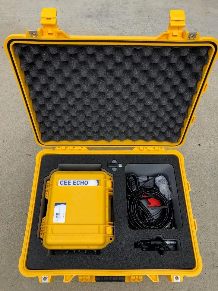
- CEE ECHO™ with 200 kHz transducer on a 14 ft jon boat
- GNSS and software
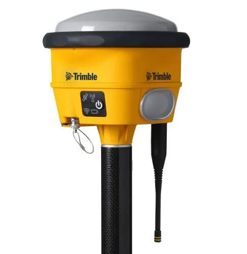
- Trimble R780 GNSS receiver, Eye4Software Hydromagic
About Blue Arc Engineering
Blue Arc Engineering, Inc are expert civil, coastal, and environmental engineers specializing in environmental resource permitting (ERP) and design. Based in Fort Myers, Florida USA, the firm’s clients range from small single-family residential homes up to large municipality developments.
The challenge
In Florida, many homes are next to water and have dock structures that require regulatory permits concerned with the available depth in waterways. Often these depth surveys are conducted with laborious manual measurements with range poles and GNSS.
Blue Arc switched to using a CEE hydrographic survey approach to greatly improve survey efficiency and product quality. Using dedicated single beam Hydromagic software and their existing Trimble R780 GNSS receiver with the CEE ECHO™, Blue Arc moved away from time-consuming land survey methods for commercial and residential permitting hydrographic projects, with significant improvements in fieldwork efficiency, even for small project areas.
A typical small scale survey
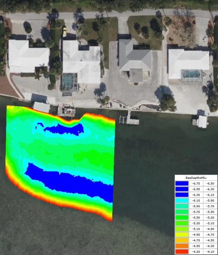
A typical small scale survey was conducted at a residential dock.
- An existing Trimble R780 GNSS was used to collect a LABINS benchmark to calibrate all measure down information accurately for tracking the water levels.
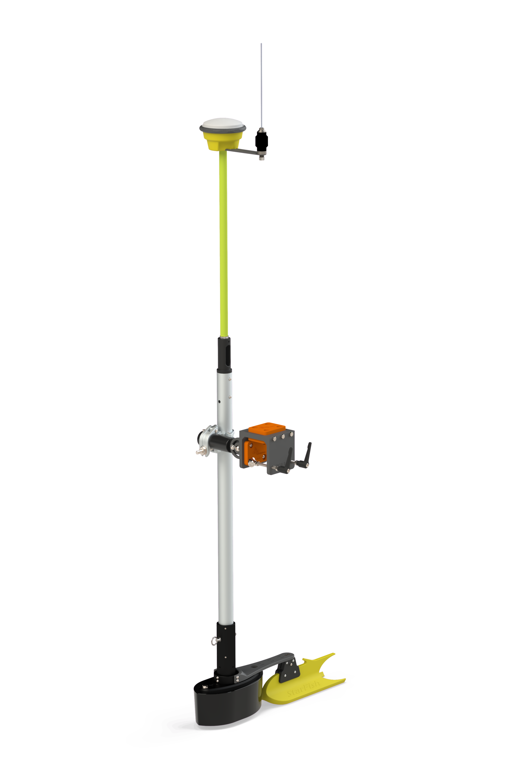
- The 200 kHz transducer and the GNSS receiver were placed on the stern of the 14 ft jon boat.
- Transects were attempted every 10 ft to 25 ft within the narrow working area, with Eye4Software Hydromagic managing acquisition and subsequent editing.
- The GNSS data were fed into the CEE ECHO™ with a combined Network (Ethernet) output to a field laptop.
For inaccessible areas, the R780 GNSS was used separately to collect depth data which was added into the same project file as the boat data. The CEE ECHO™ single beam transducer made it possible to survey deeper areas during a higher tide, which would be unfeasible to collect with a manual GNSS depth shot.
The results
50%less fieldwork time than the full day it would have taken
Daysfrom field work to the finished bathymetric product
The aim of adding the CEE ECHO™ was mostly to improve fieldwork efficiency. Blue Arc principal engineer Jack Archambault submitted positive comments about the setup used on this and other similar projects completed soon after receiving the new setup.
“Fieldwork that would have taken a full day was cut it in half and produced clean, easy to process, detailed information for the client. We were able to produce the bathymetric survey product within days of field work satisfying the client’s needs.”
Jack Archambault, Principal Engineer, Blue Arc Engineering, Inc
“Producing a bottom elevation surface was surprisingly easy in Hydromagic. Compared to GNSS field acquisition software, the Hydromagic package added a lot of extra convenience – aerials could be downloaded in real time, boundaries could be drawn during the survey to ensure the scope of work was fully met.”
Jack Archambault, Principal Engineer, Blue Arc Engineering, Inc
Planning a similar survey?
Tell us about your site and we’ll recommend the right equipment.
Talk to us →
More from the field
6 Jan 2026
Dredging contractor brings surveys in-house with the CEE ECHO™ and Hydromagic
ACT Marine, a New England dredging contractor, uses a CEE ECHO™ with Hydromagic for its own QC and pre-final clearance surveys. The system sets up in 20 minutes, its results match the third-party survey, and projects are accepted on the final survey without costly post cleanup.
ACT Marine, a New England dredging contractor, uses a CEE ECHO™ with Hydromagic for its own QC and pre-final clearance surveys. The system sets up in 20 minutes, its results match the third-party survey, and projects are accepted on the final survey without costly post cleanup.
Read case history →
10 Dec 2024
AOI Solutions surveys a hurricane-hit construction pond with the CEE ECHO™ and Hydromagic
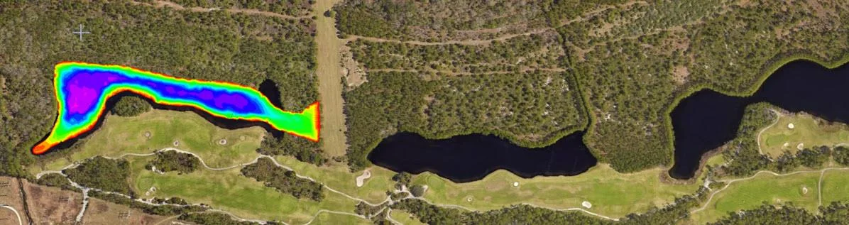
AOI Solutions surveyed a Daytona Beach retention pond, hit by hurricane Helene inflow and active backfilling, in 3 hours with a CEE ECHO™ and Hydromagic. An edited RTK-grade bottom surface reached the client three hours later, and the echograms showed both the sediment level and the original pond bottom.
AOI Solutions surveyed a Daytona Beach retention pond, hit by hurricane Helene inflow and active backfilling, in 3 hours with a CEE ECHO™ and Hydromagic. An edited RTK-grade bottom surface reached the client three hours later, and the echograms showed both the sediment level and the original pond bottom.
Read case history →
10 Feb 2023
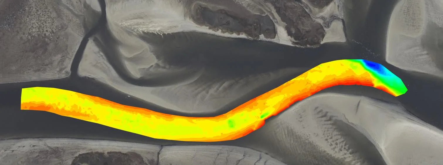
CEE ECHO™ for very shallow surveys in the San Elijo Lagoon Restoration
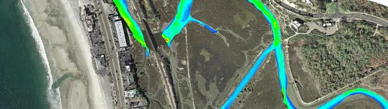
Coastal Frontiers swapped its old echo sounder for a CEE ECHO™ on the San Elijo Lagoon Restoration Project, surveying lagoon depths typically under 4 ft (1.2 m) from a small boat or the CEE-USV™. Auto-gain and sensitivity cut collection and processing time, about 20 lbs of batteries were eliminated, and digital echograms in HYPACK replaced paper charts.
Coastal Frontiers swapped its old echo sounder for a CEE ECHO™ on the San Elijo Lagoon Restoration Project, surveying lagoon depths typically under 4 ft (1.2 m) from a small boat or the CEE-USV™. Auto-gain and sensitivity cut collection and processing time, about 20 lbs of batteries were eliminated, and digital echograms in HYPACK replaced paper charts.
Read case history →