Next Generation pole-mounted echo sounder
CEE-LINE HD™
Single Beam Echo Sounders
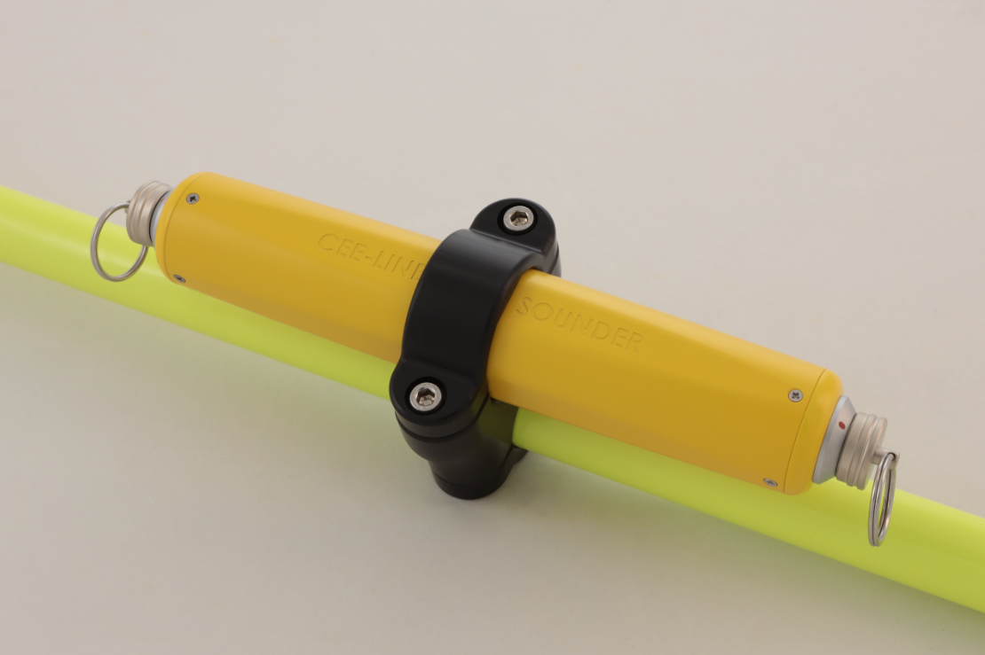
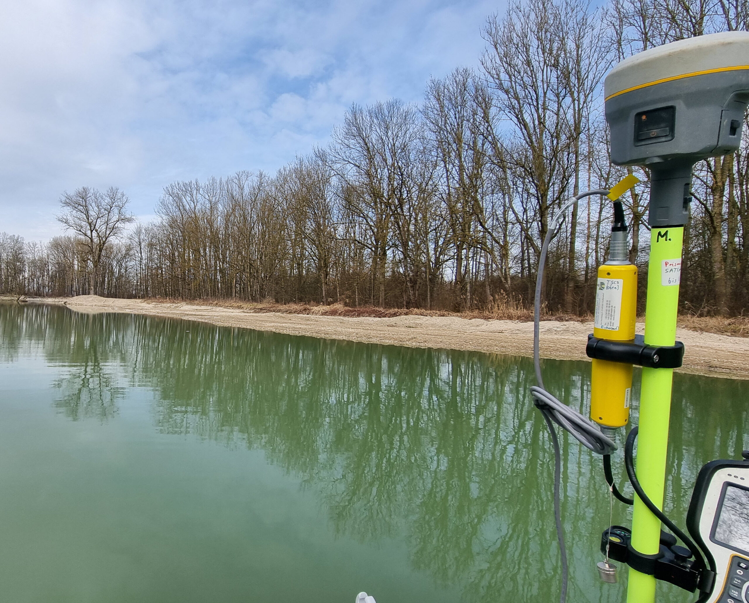
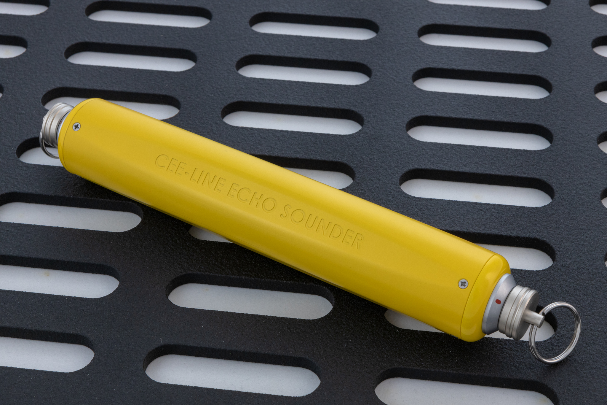
Next Generation pole-mounted echo sounder.CEE-LINE™ brings hydrographic-grade performance to bathymetry projects using land survey data acquisition. Indestructible with exceptional sounding consistency, simply connect the CEE-LINE™ to a data collector, tablet or PC for accurate and trustworthy results.
20Hz
Max Ping Rate
1cm
Depth Resolution
IP68
Ingress Protection
100m
Max Depth Range
555g
Total Weight
Works with your gear
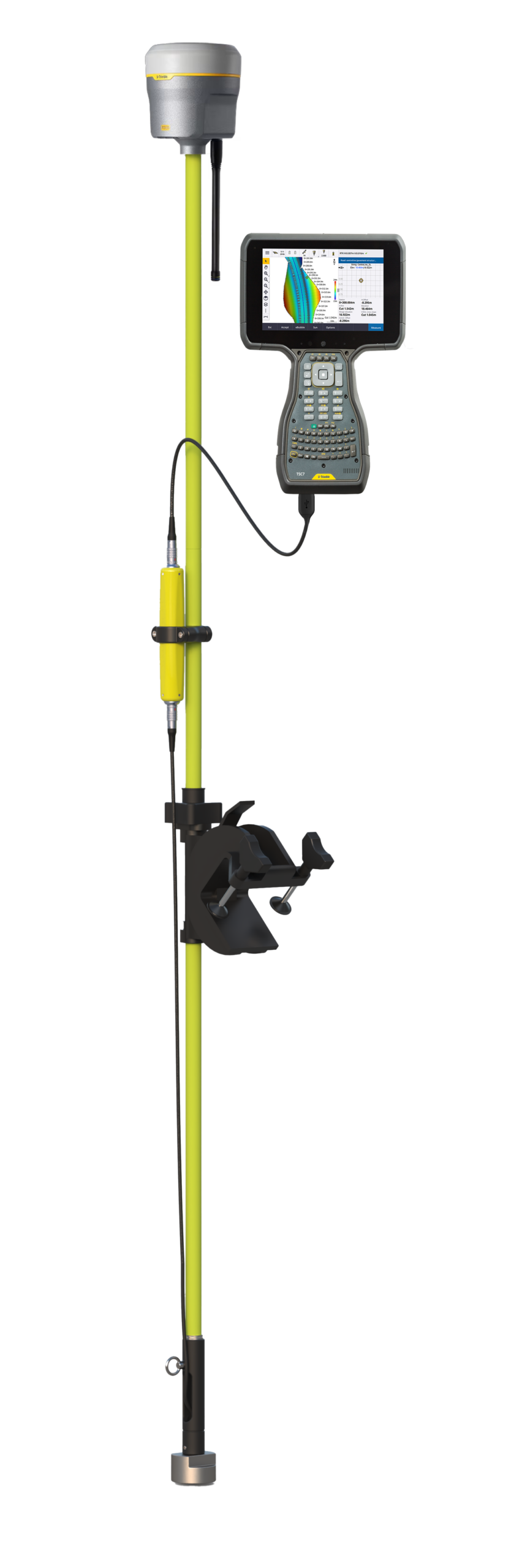
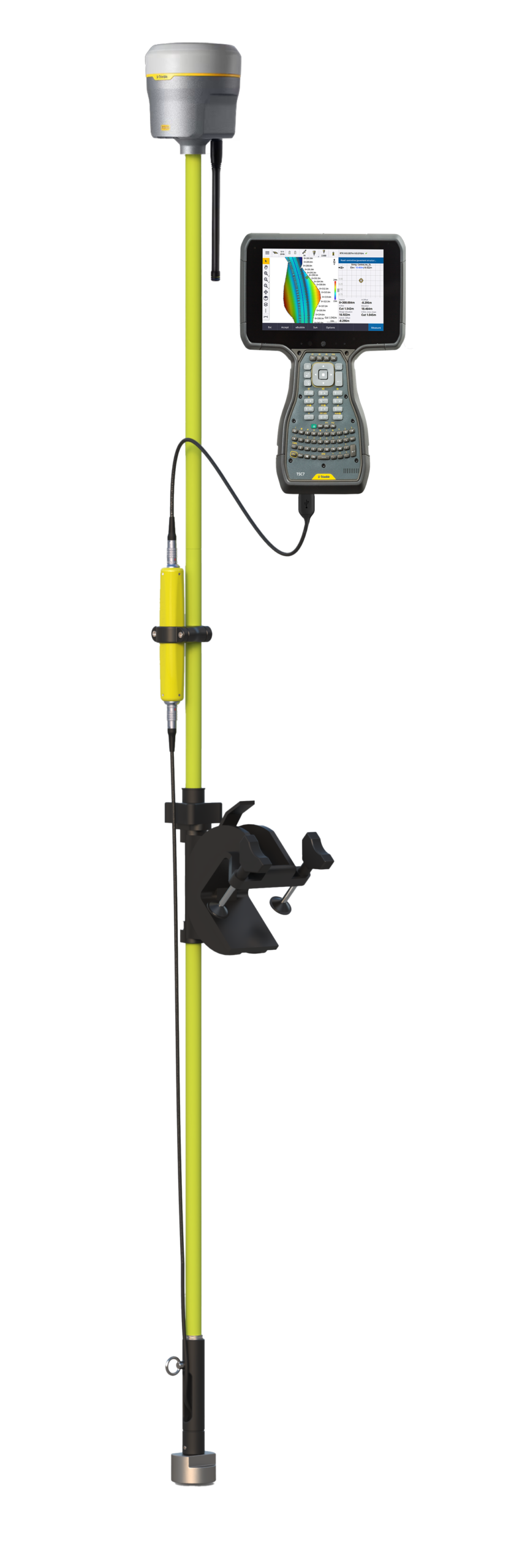
Plug it into your GNSS data collector and every point you store gets a depth. Same rover, same software, same workflow; no new system to learn.
1
cable
0
new software
Nothing to charge
The CEE-LINE™ runs off your data collector or tablet / PC, so there’s no battery to charge the night before and no dead unit halfway through a job.
1.2 W
power draw
0
batteries
Depths you can trust
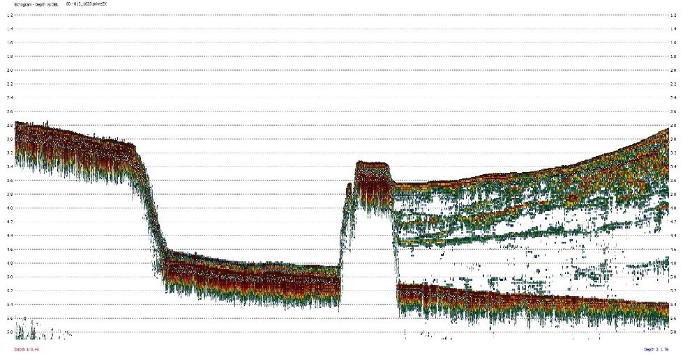
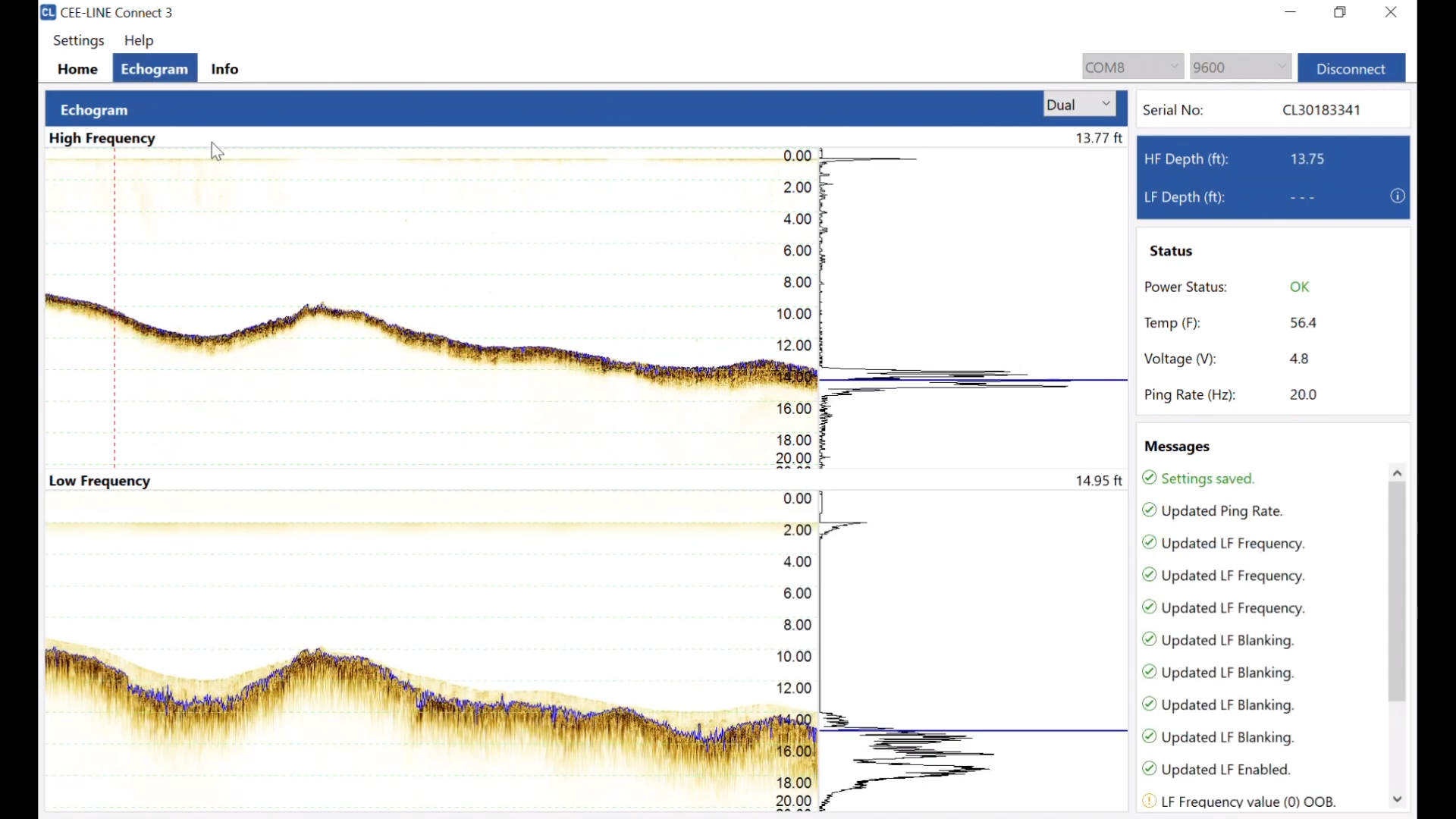
Dual frequency and a live echogram show what’s really under the pole; soft mud, sub aquatic vegetation or hard bottom, so you can stand behind every number you deliver.
20 Hz
ping rate
1 cm
resolution
Indestructible
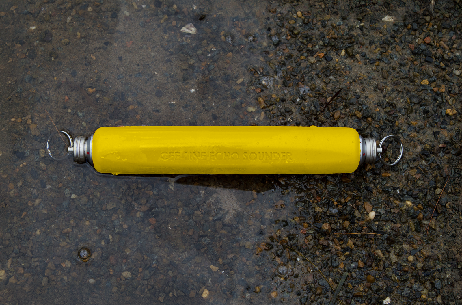
Sealed - Potted, waterproof construction you can drive a truck over. It goes wherever you can walk or wade, from a small boat to a flooded quarry.
555 g
weight
IP68
submersible
Applications
From environmental monitoring to dredging.
Designed to integrate seamlessly into existing GNSS survey workflows, for a wide range of applications.
Talk to us about your site →
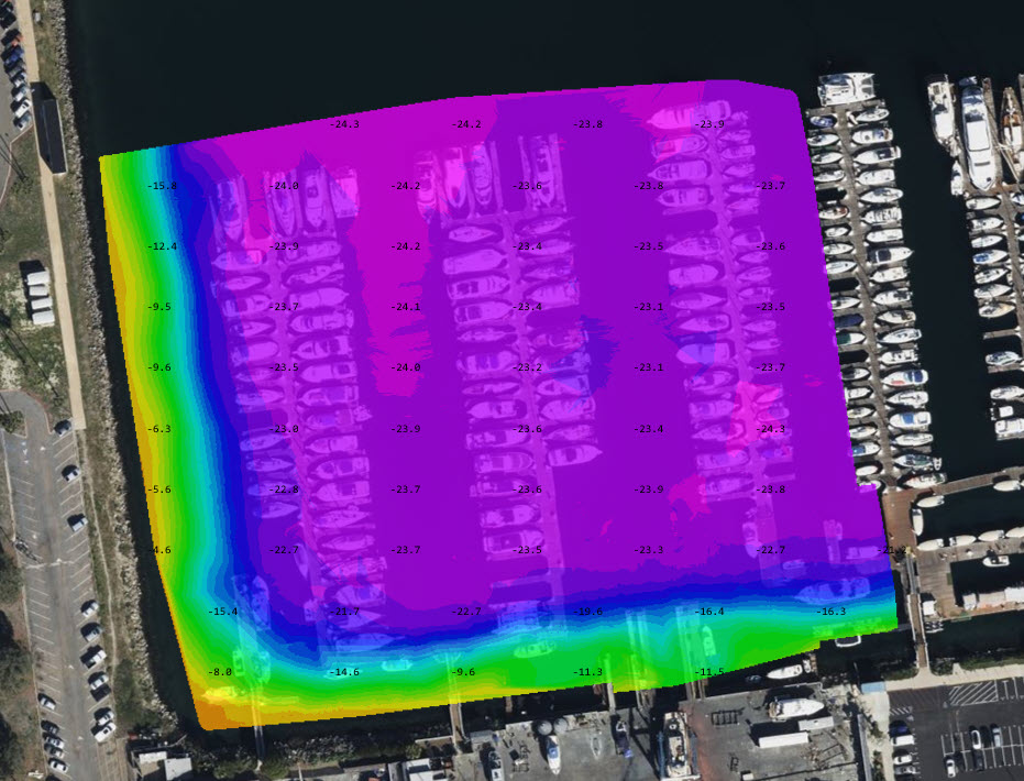
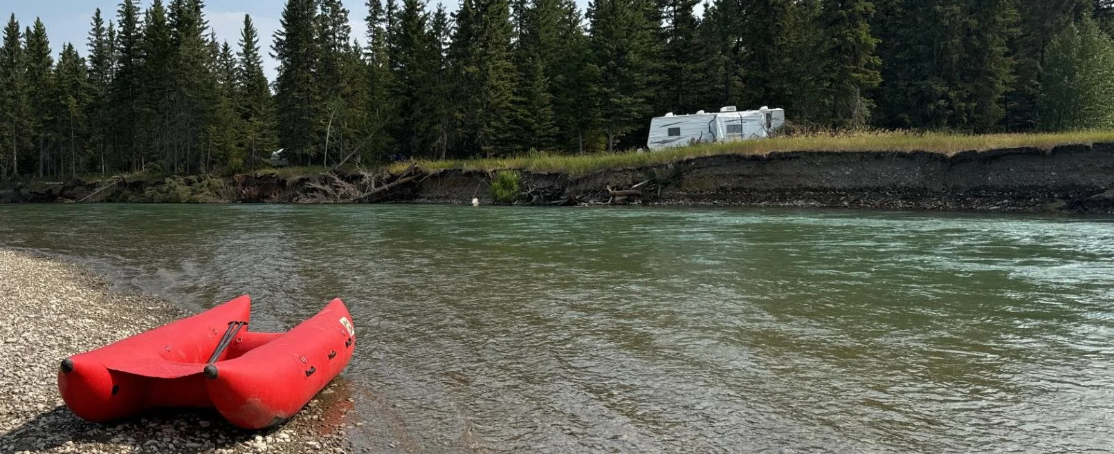
Shallow river mapping
Keeps a solid lock on the bottom even in very shallow water from 0.2 m at 200 kHz.
Environmental monitoring
See submerged vegetation, debris and soft bottoms on the echogram not just a depth number.
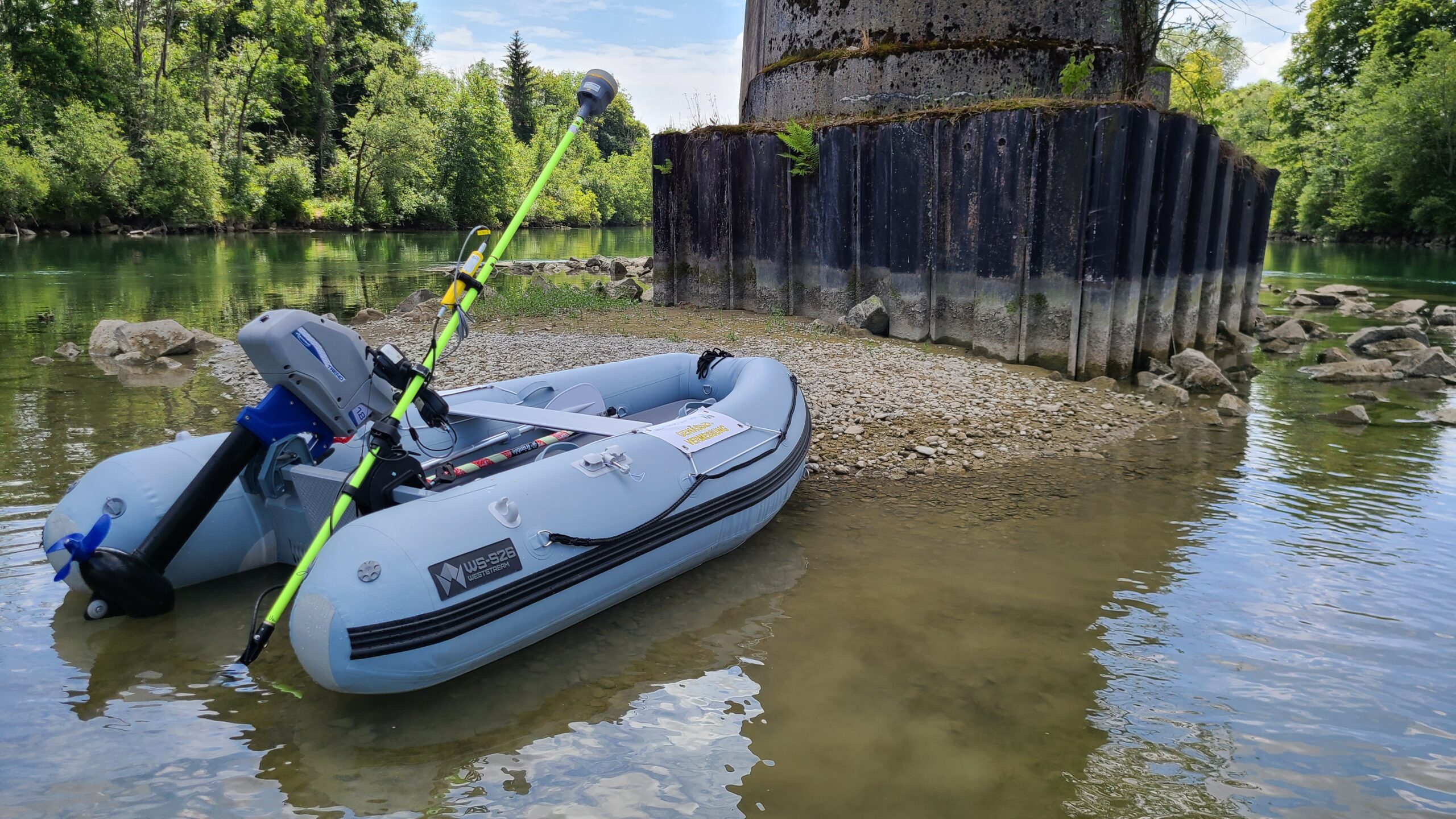
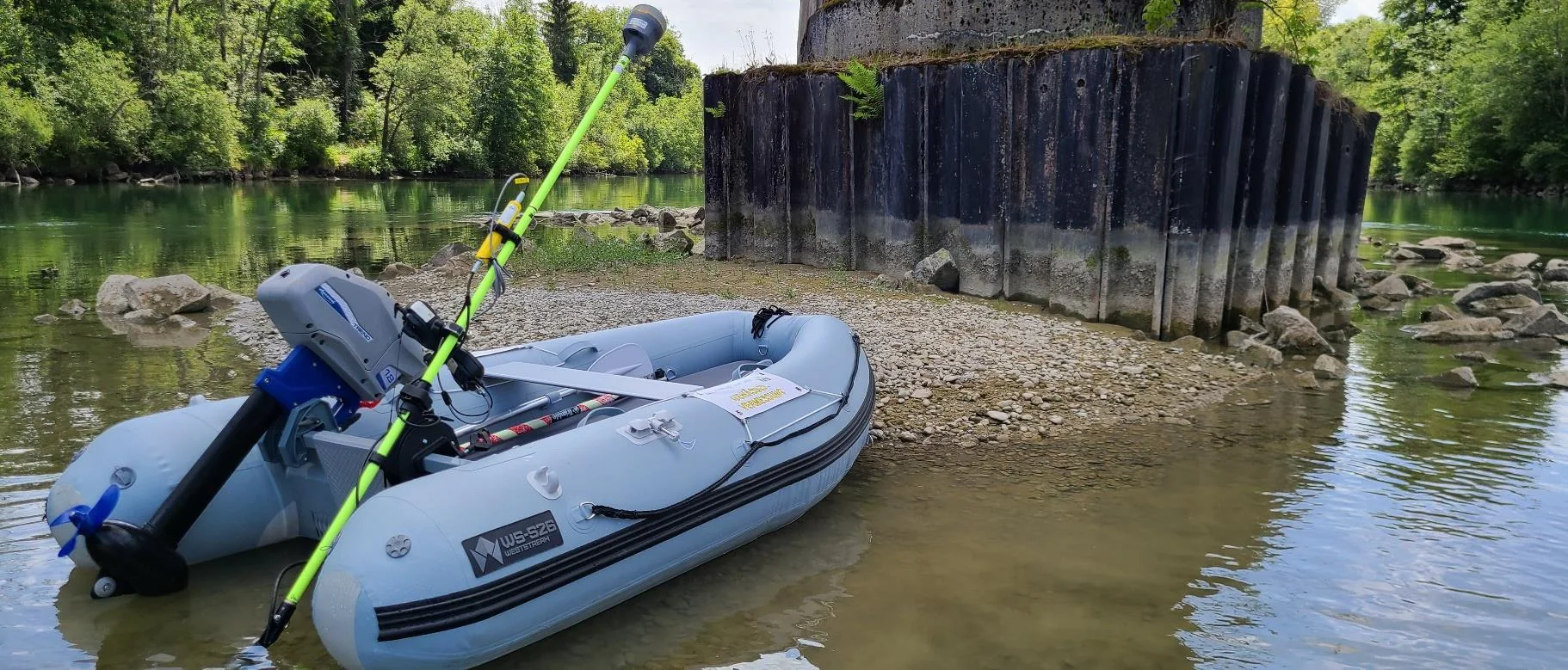
Bridges & construction
Consistent depths near piers and hard, reflective bottoms, straight into the GNSS dataset.
Dredging & sediment
Dual frequency 200 / 33 kHz as standard, for poorly consolidated or disturbed sediment.
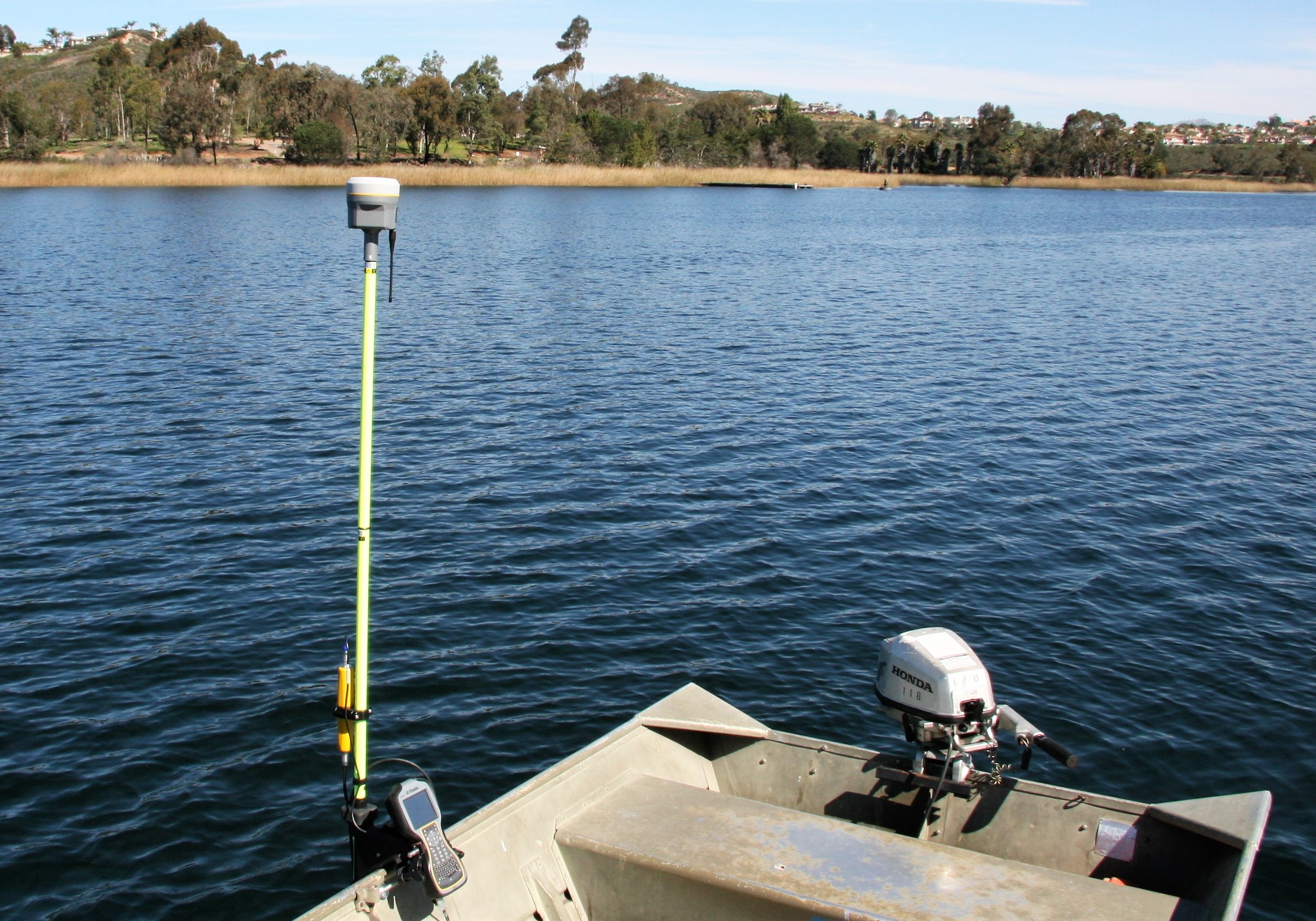
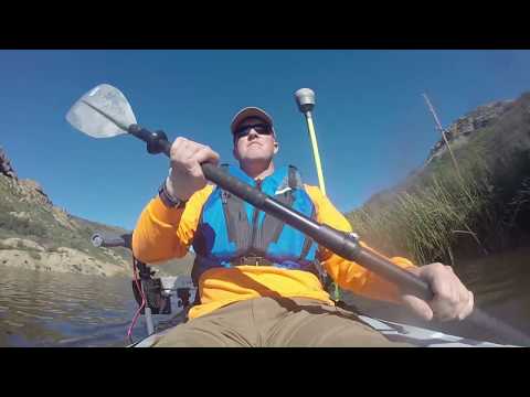
Kayak & small boat surveys
Lightweight and pole-mounted, powered from the data collector ideal where no survey boat can launch.
GNSS pole-mounted bathymetry
Works with Trimble Access, Carlson SurvCE, Leica Captivate and Topcon MAGNET Field.
Case histories
Proven on real surveys
Learn more
Why surveyors choose CEE-LINE™
Field-proven performance. Reliable data. Indestructible.
01 / Professional grade
A professional single beam echo sounder
A super-fast processor running advanced bottom tracking algorithms keeps a solid lock on the bottom even in very shallow water. With a ping rate up to 20 Hz on 200 kHz and 33 kHz channels, depth data are ready to combine with your GNSS.
Dual frequency 200 / 33 kHz as standard
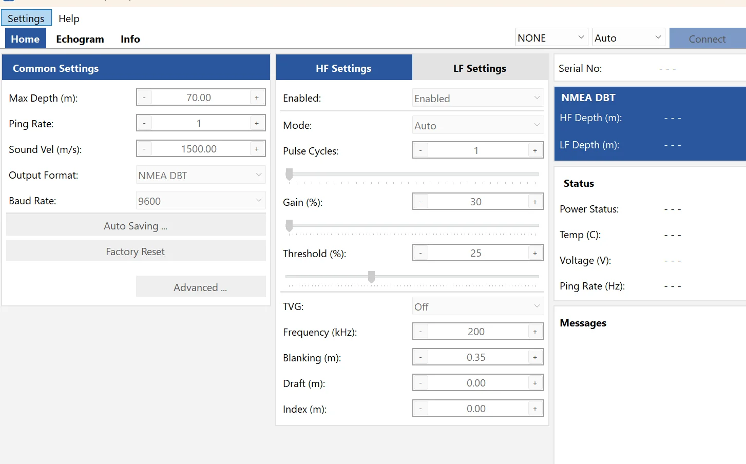
Auto, Shallow Auto or Manual bottom tracking
Professional passive transducers, not “smart” ones
20 Hz
ping rate
1 cm
depth resolution
See the detail
Buying guide
What will you connect it to?
The CEE-LINE™ works with the gear you already carry. What you get depends on the device and the software.
Android data collector
No new software
For example, the Trimble TSC5. Depth is logged with every point in continuous topo. The CEE Bluetooth cable sends depths wirelessly and runs from the collector’s USB-C port.
Connection
CEE Bluetooth cable
Software
Trimble Access
✓Depth with every point
Live echogram
Recorded echogram
Edit soundings later
Windows data collector
Echogram in the field
For example, the Trimble TSC7 or Topcon FC6000. Run CEE-LINE Connect 3 alongside the GNSS software. Two comms ports let you watch the live echogram while points are collected.
Connection
USB
Software
Trimble Access, Leica Captivate, FieldGenius, Topcon MAGNET + Connect 3
✓Depth with every point
✓Live echogram
Recorded echogram
Edit soundings later
Windows tablet or laptop
Recorded echogram
Running Hydromagic or HYPACK®. Record every sounding at up to 20 Hz plus the full echogram, then re-digitise the true bottom through vegetation. Beamworx works too.
Connection
USB
Software
Hydromagic, HYPACK®, Beamworx
✓Every sounding at 20 Hz
✓Live echogram
✓Recorded echogram
✓Edit soundings later
Going wireless? The CEE Bluetooth cable has the Bluetooth radio built into the cable LEMO at one end, USB-C at the other so the CEE-LINE™ sends depths to any Bluetooth collector while drawing power over USB-C.
Configure your system
Build your CEE-LINE™
Choose the configuration, transducer and cable for your data collector.
1
Step 1 · Configuration
Do you need mounting hardware
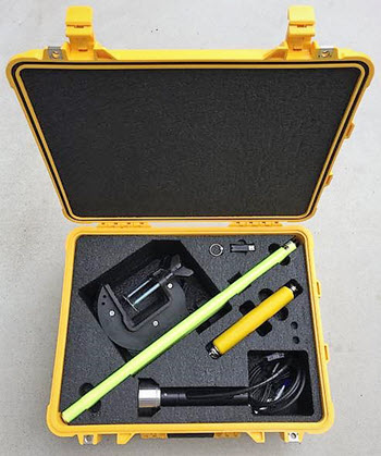
Every CEE-LINE™ is dual frequency as standard — choose the echo sounder on its own, or the complete kit for small boats.
Echo sounder
CEE-LINE™
Dual frequency standard
Frequencies
200 / 30–36 kHz
Depth range
0.2 – 100 m (HF) · 0.5 – 100 m (LF)
Transducers
SS510, SS549, M195, M163
Supplied with
USB data / power cable
Full details
Complete kit
Small Boat Kit
Everything in one case
Echo sounder
CEE-LINE™, dual frequency
Transducer
SS510 200 kHz with mounting bracket
Mounting
Boat mount, GNSS poles, custom brackets
Case
Pelican 1560 · CLS-YE-CF-1560-SMK-1
Full details
2
Step 2 · Transducer
Choose your transducer
Fit a 200 kHz transducer for general surveys, or a dual 200 / 33 kHz transducer for soft or disturbed sediment. Survey-grade Airmar transducers the depth calculations happen in the CEE-LINE™ processor.
General surveys
SS510
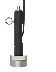
Frequency
200 kHz
Beam width
9°
Narrow beam
SS549
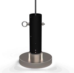
Frequency
200 kHz
Beam width
3°
Dual frequency · compact
M195
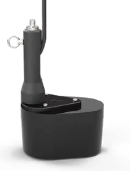
Frequency
200 / 33 kHz
Beam width
8° / 25°
Dual frequency
M163
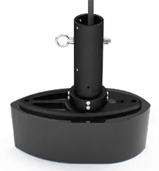
Frequency
200 / 33 kHz
Beam width
8° / 19°
Low frequency data are of limited value in water under about 1 m, owing to the mandatory 33 kHz blanking distance.
3
Step 3 · Data collector
Which cable do you need?
Select either USB-C or USB-A type cables to supply power and send depths to your data collector. A Bluetooth radio is fully encapsulated inside the USB cable and operates seamlessly with the CEE-LINE™: choose to use either the high-speed wired USB or the Bluetooth data output mode without changing any hardware. Plug into a USB power bank for a roving wireless data collector link. The programming cable connects the CEE-LINE™ to a Windows PC for CEE-LINE Connect 3.
Trimble TSC5 and Android devices
Bluetooth cable · USB-C
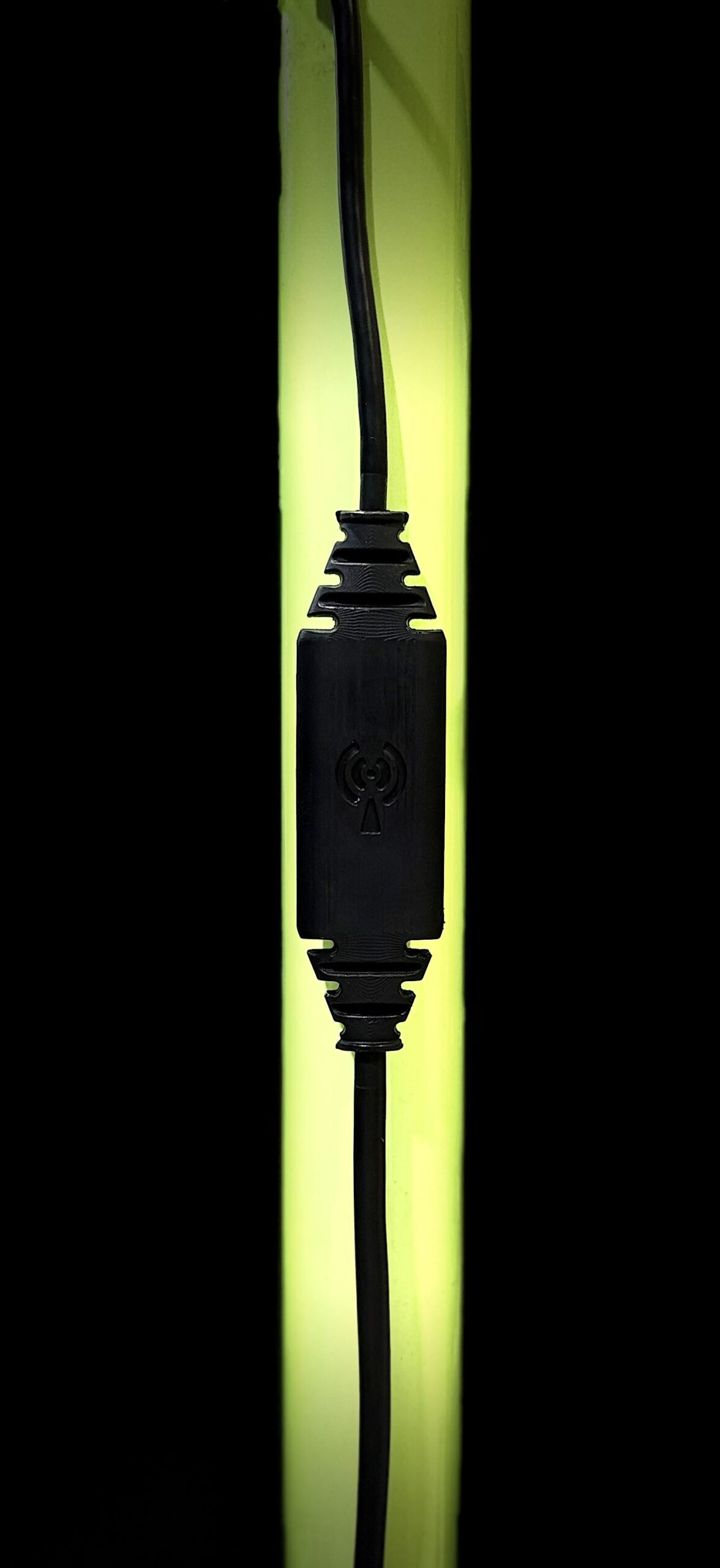
Connectors
LEMO 12-pin to USB-C
Bluetooth
Built into the cable
USB-C
Power and / or data
Length
2.2 m
Windows PC · CEE-LINE Connect 3
Programming cable
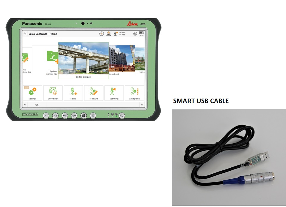
Connectors
LEMO 12-pin to USB-A
Use
Live echogram and updates
Length
‹TBC›
Why 20 Hz matters
The same line, surveyed twice.
Two sounders run the same seabed at the same speed. When depths aren’t time-tagged, each one is logged against the GNSS fix it arrives with — so the charted seabed slides along track. The slower the ping rate, the further it slides.
6knBoat speed
5HzOther sounder
Tolerance
CEE-LINE™ · 20 Hz
50 ms between soundings
m along-track offset
m along-track offset
True seabedRecorded profile, as chartedDisplacement at the channel edge
Offset = speed × (ping interval + output latency). Worst case within the ping cycle, for depth output that isn’t time-tagged — the way most GNSS data collectors log depth. A faster ping rate shrinks the error; the fixed output latency remains. Output latency30 ms
Product videos
See the CEE-LINE HD™ at work
See more videos

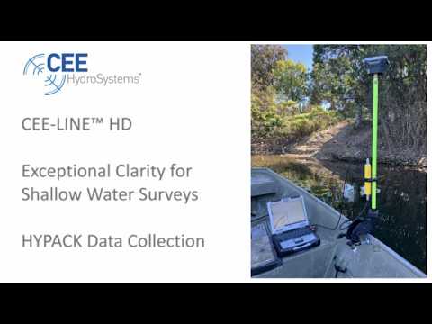
CEE-LINE™ HD with HYPACK Exceptional Clarity for Shallow Water Surveys
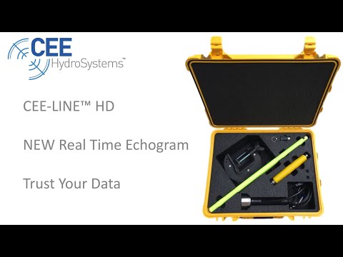
Watch Astonishing CEE-LINE™ Detail in High Definition
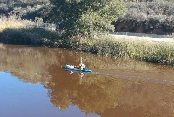
CEE-LINE™ – California Lake Survey with Trimble GNSS
Specifications
The numbers that matter
Headline specs below. Open the full list for communications, transducers and cables.
Physical
Dimensions
22 × 3.6 × 3.6 cm (L × W × D) · 8.7 × 1.4 × 1.4 in
Weight (typ)
555 g (1.22 lbs)
Colour
Yellow (Cerakote)
Enclosure material
Billet aluminium
Environmental
Operating range
−20°C – 60°C (−4°F – 140°F)
Storage range
−20°C – 70°C (−4°F – 158°F)
Humidity
100% condensing, connectors mated or caps installed
Ingress protection
IP68
Power
Power consumption
1.2 W typical, 2.5 W max.
Input supply range
4.5 – 24.0 V (USB compatible)
Absolute max. supply voltage
30.0 V
Connections
LEMO 2K 12-pin
USB, RS-232, TTL
LEMO 2K 6-pin
Transducer
Echo sounder
Channels
Dual frequency 200 / 33 kHz, standard
Operating modes
Auto, Shallow Auto, Manual
Depth range (HF)
0.2 – 100 m (0.65 – 328 ft)
Depth range (LF)
0.5 – 100 m (1.6 – 328 ft)
Ping / output rate
1 – 20 Hz
Frequency range (HF)
190 – 210 kHz
Frequency range (LF)
30 – 36 kHz
Accuracy
1 cm ± 0.1% of depth @ 200 kHz
Depth resolution
1 cm
Sampling rate (HF)
1.8 MHz
Transmit power
110 W (rms), 174 W (peak)
Gain control
48 dB range (80 dB inc. TVG)
Sound velocity range
1350 – 1750 m/s (4,429 – 5,741 ft/s), 1 m/s resolution
Transducer draft setting
0 – 10 m (1 cm increments)
Transducer index offset
0 – 1 m (1 cm increments)
Pulse length
1 – 31 cycles
TVG options
None, 10 LOG r, 20 LOG r
Manual detection threshold
1 – 50%
Blanking range (HF)
0.2 – 10 m (0.65 – 32.8 ft)
Blanking range (LF)
0.5 – 10 m (1.6 – 32.8 ft)
Request A Quote
Loading the quote form…